Timeline
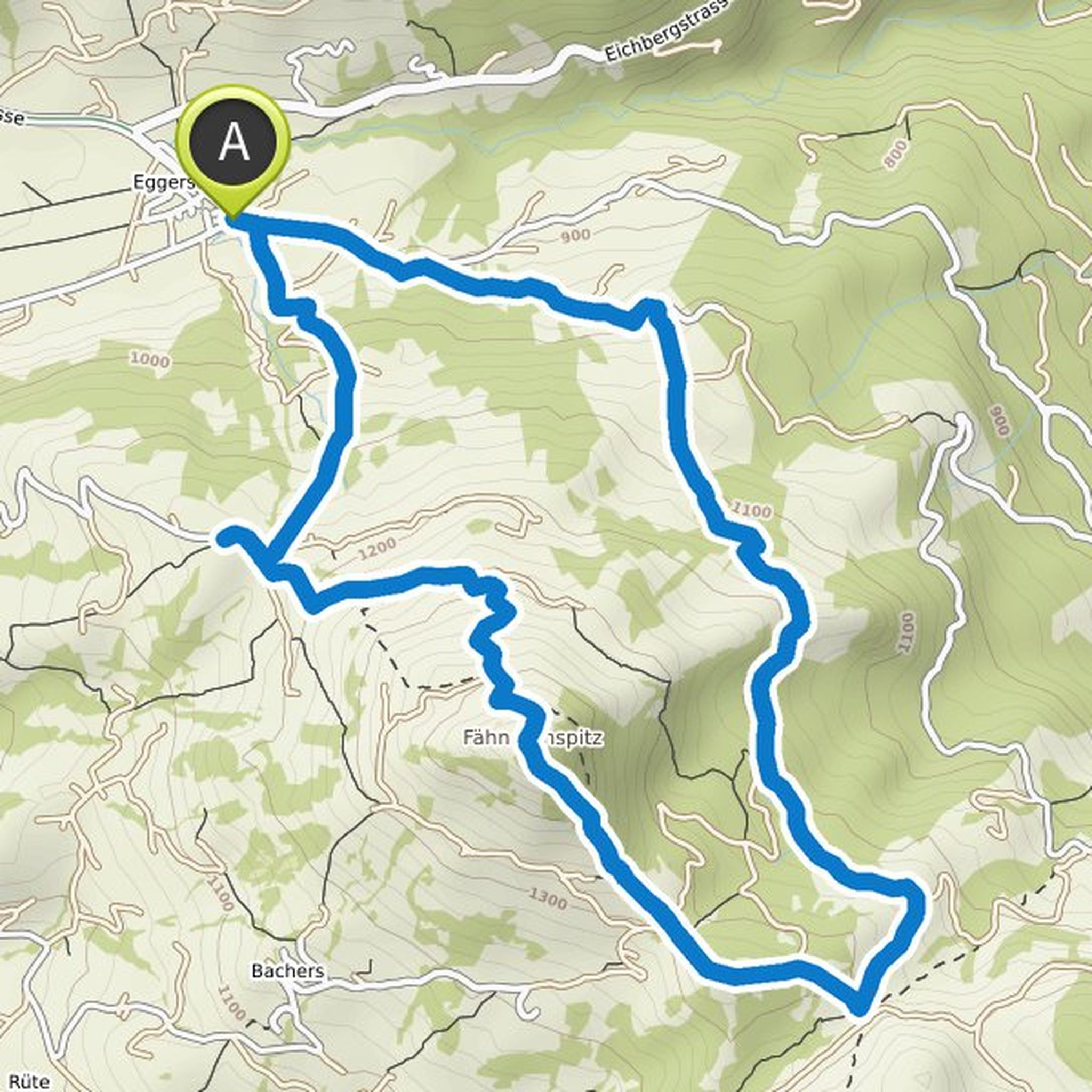
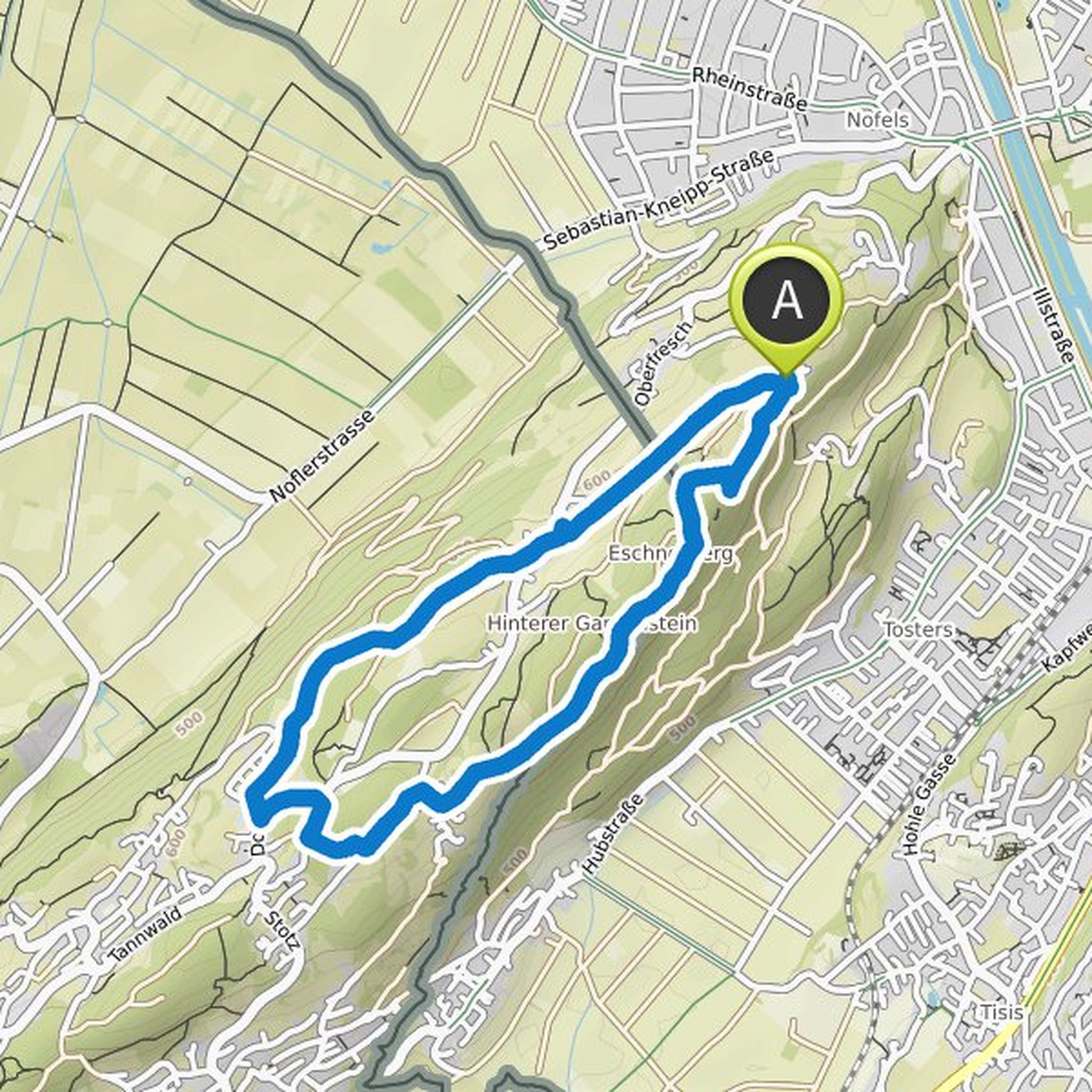
Andrea planned a hike
July 9, 2022
Time
Distance
Speed
Ascent
Descent
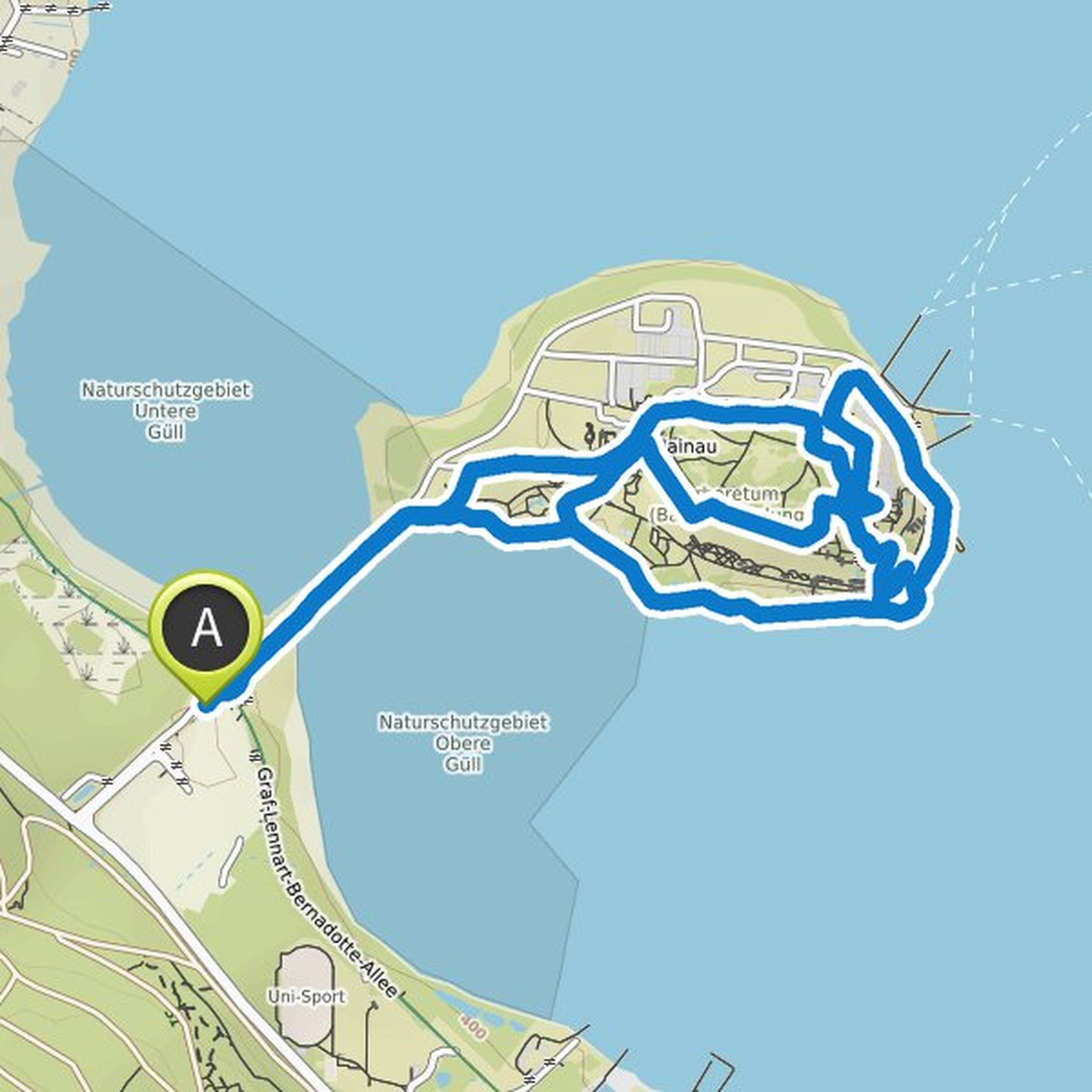
Andrea planned a hike
September 25, 2021
Time
Distance
Speed
Ascent
Descent

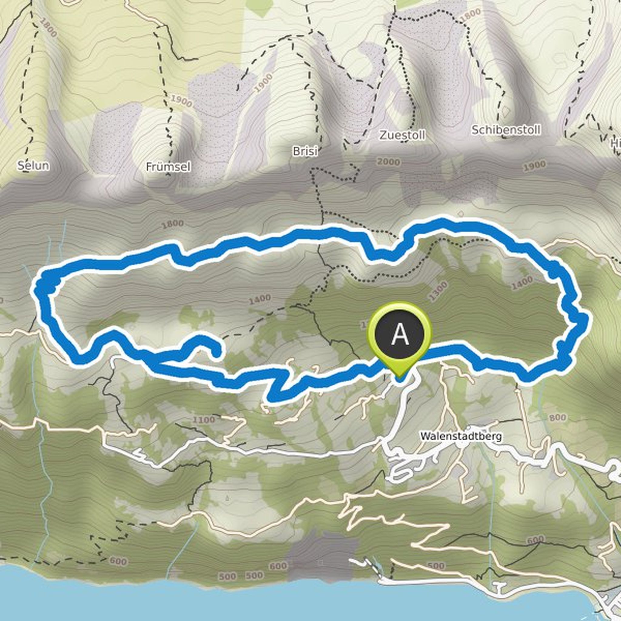
Andrea planned a hike
September 12, 2021
Time
Distance
Speed
Ascent
Descent

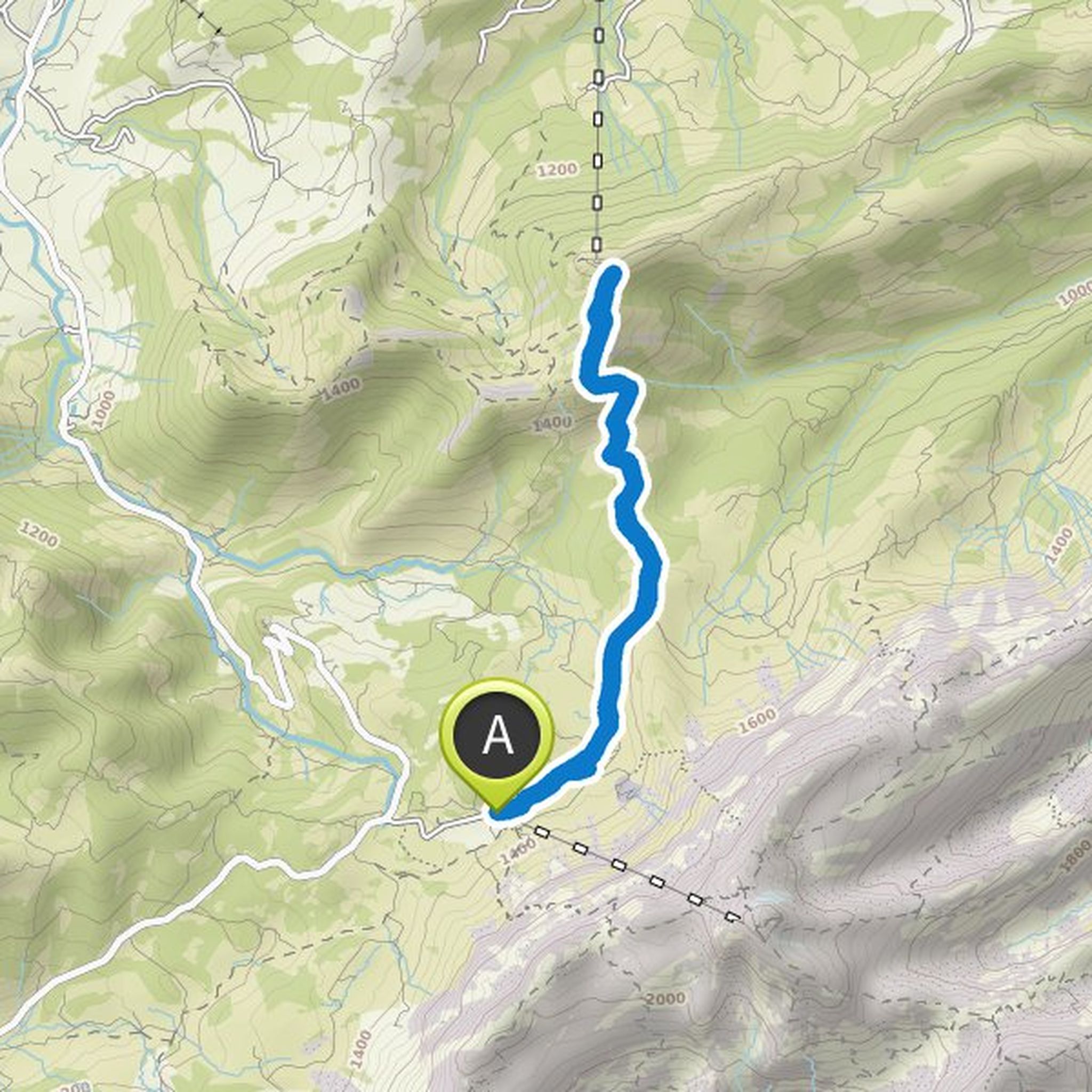
Andrea planned a mountaineering activity
May 26, 2021
Time
Distance
Speed
Ascent
Descent

Andrea planned a hike
May 25, 2021
Time
Distance
Speed
Ascent
Descent

Andrea planned a hike
May 25, 2021
Time
Distance
Speed
Ascent
Descent

Andrea planned a hike
May 25, 2021
Time
Distance
Speed
Ascent
Descent
Andrea planned a hike
May 25, 2021
Time
Distance
Speed
Ascent
Descent
Andrea planned a hike
May 25, 2021
Time
Distance
Speed
Ascent
Descent

Andrea planned a hike
May 25, 2021
Time
Distance
Speed
Ascent
Descent
Andrea planned a hike
May 25, 2021
Time
Distance
Speed
Ascent
Descent
Andrea planned a hike
May 25, 2021
Time
Distance
Speed
Ascent
Descent

Andrea planned a hike
May 25, 2021
Time
Distance
Speed
Ascent
Descent

Andrea planned a hike
May 25, 2021
Time
Distance
Speed
Ascent
Descent

Andrea planned a hike
May 25, 2021
Time
Distance
Speed
Ascent
Descent