Timeline
Markus planned a hike
August 1, 2022
Time
Distance
Speed
Ascent
Descent
Markus planned a hike
July 18, 2022
Time
Distance
Speed
Ascent
Descent
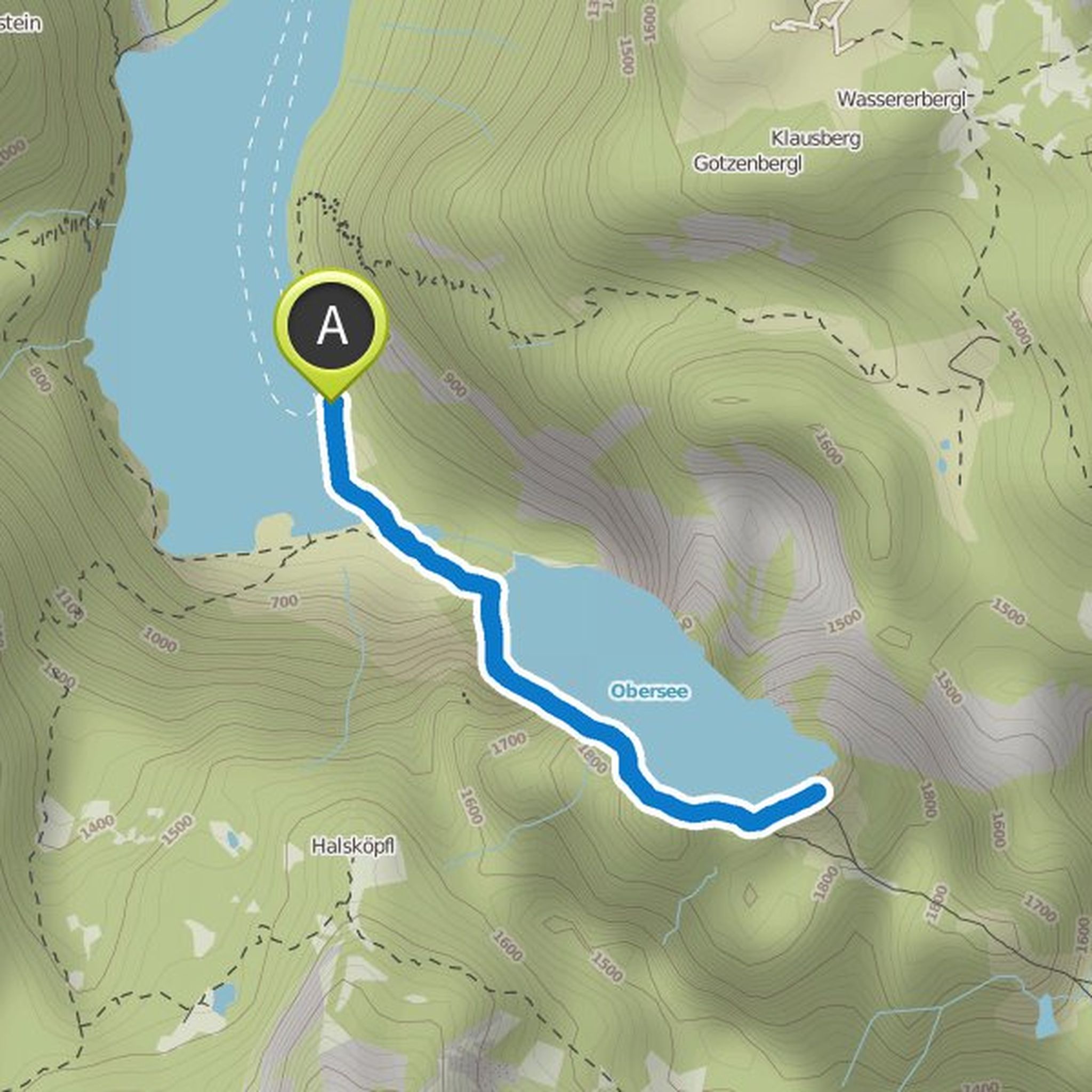
Markus planned a hike
May 7, 2022
Time
Distance
Speed
Ascent
Descent
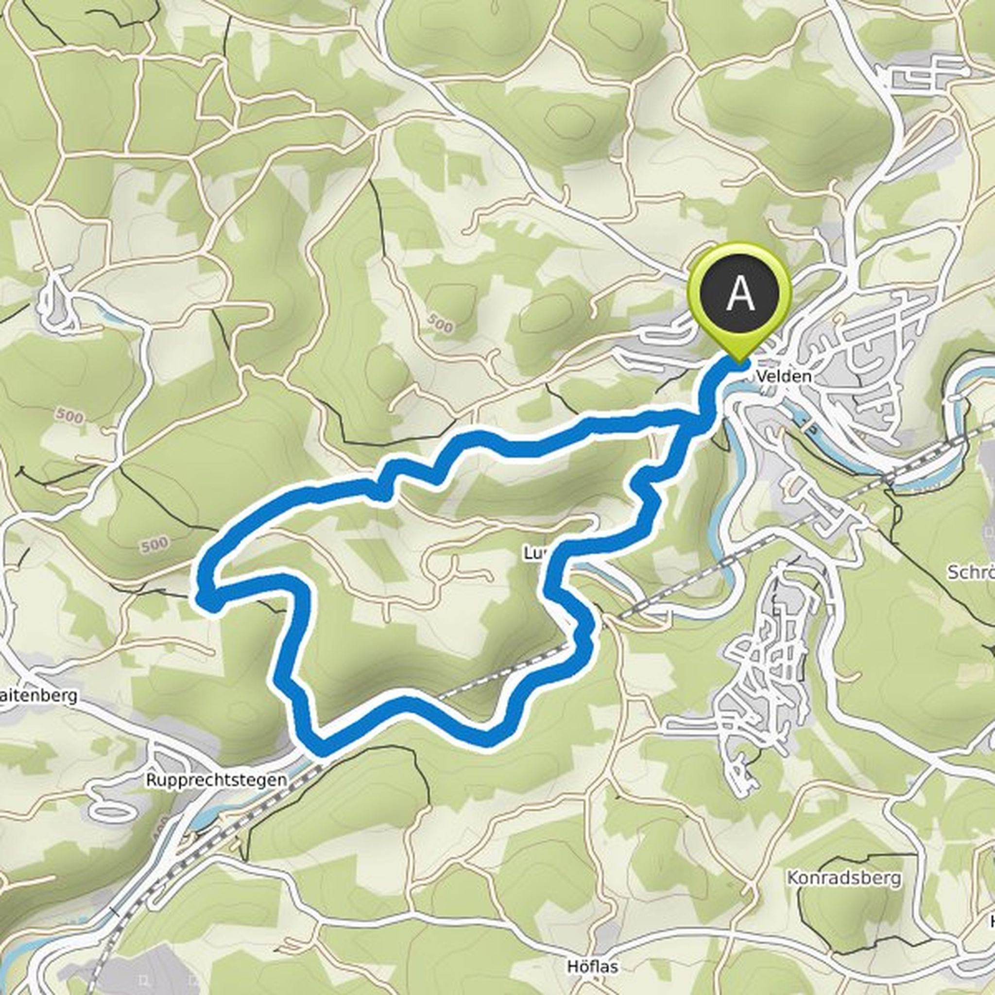
Markus planned a bike ride
March 6, 2022
Time
Distance
Speed
Ascent
Descent

Markus planned a hike
August 6, 2021
Time
Distance
Speed
Ascent
Descent

Markus planned a hike
August 1, 2021
Time
Distance
Speed
Ascent
Descent
Markus planned a hike
June 4, 2020
Time
Distance
Speed
Ascent
Descent

Markus planned a mountain bike ride
August 8, 2018
Time
Distance
Speed
Ascent
Descent

Markus planned a hike
August 7, 2018
Time
Distance
Speed
Ascent
Descent
Markus planned a hike
August 6, 2018
Time
Distance
Speed
Ascent
Descent

Markus planned a hike
August 6, 2018
Time
Distance
Speed
Ascent
Descent

Markus planned a mountain bike ride
August 6, 2018
Time
Distance
Speed
Ascent
Descent

Markus planned a hike
August 4, 2018
Time
Distance
Speed
Ascent
Descent

Markus planned a bike ride
August 4, 2018
Time
Distance
Speed
Ascent
Descent

Markus planned a bike ride
August 3, 2018
Time
Distance
Speed
Ascent
Descent
