Timeline
Angela Günthner planned a bike ride
October 7, 2022
Time
Distance
Speed
Ascent
Descent
Angela Günthner planned a bike ride
October 7, 2022
Time
Distance
Speed
Ascent
Descent
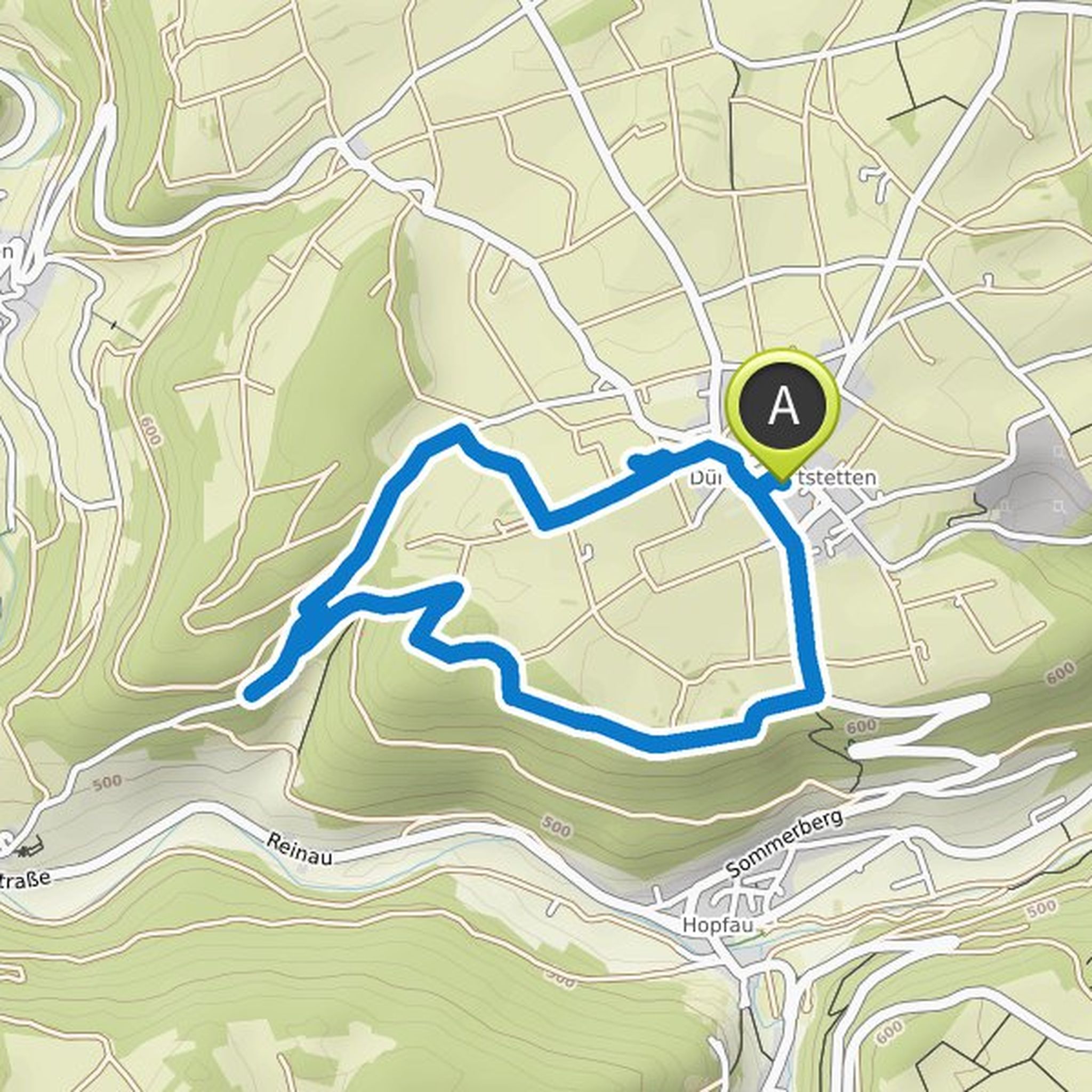
Angela Günthner planned a hike
July 27, 2022
Time
Distance
Speed
Ascent
Descent
Angela Günthner planned a hike
July 27, 2022
Time
Distance
Speed
Ascent
Descent
Angela Günthner planned a hike
July 27, 2022
Time
Distance
Speed
Ascent
Descent
Angela Günthner planned a hike
July 27, 2022
Time
Distance
Speed
Ascent
Descent
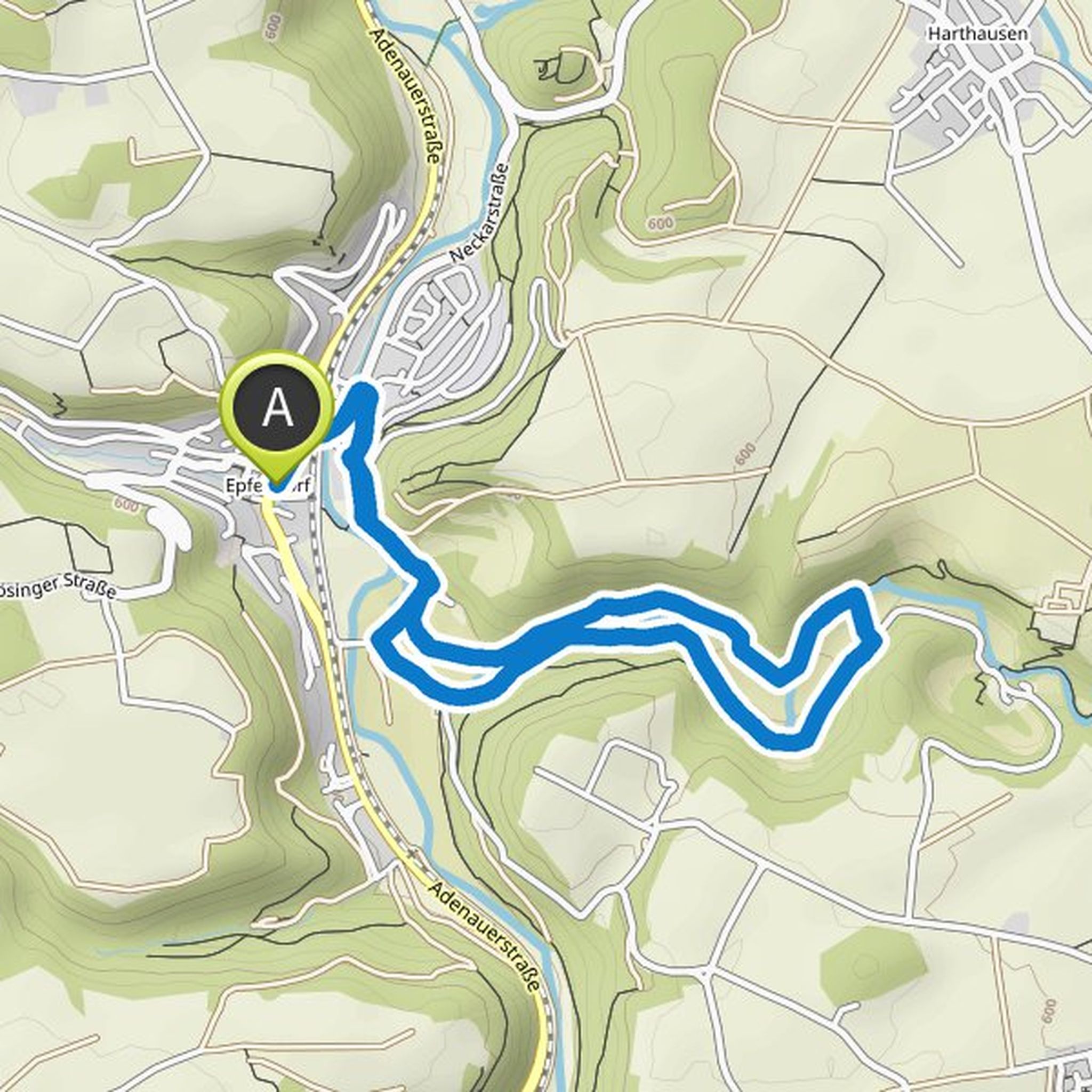
Angela Günthner planned a hike
June 10, 2022
Time
Distance
Speed
Ascent
Descent
Angela Günthner planned a hike
June 10, 2022
Time
Distance
Speed
Ascent
Descent
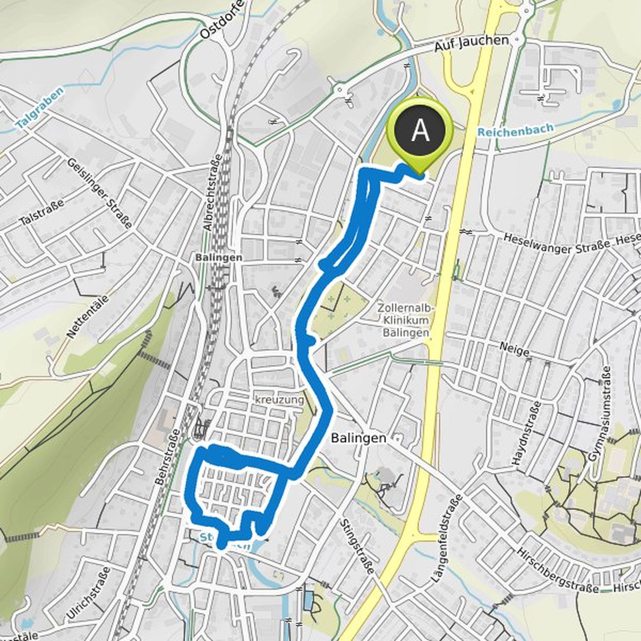
Angela Günthner planned a hike
April 15, 2022
Time
Distance
Speed
Ascent
Descent
Angela Günthner planned a hike
April 15, 2022
Time
Distance
Speed
Ascent
Descent
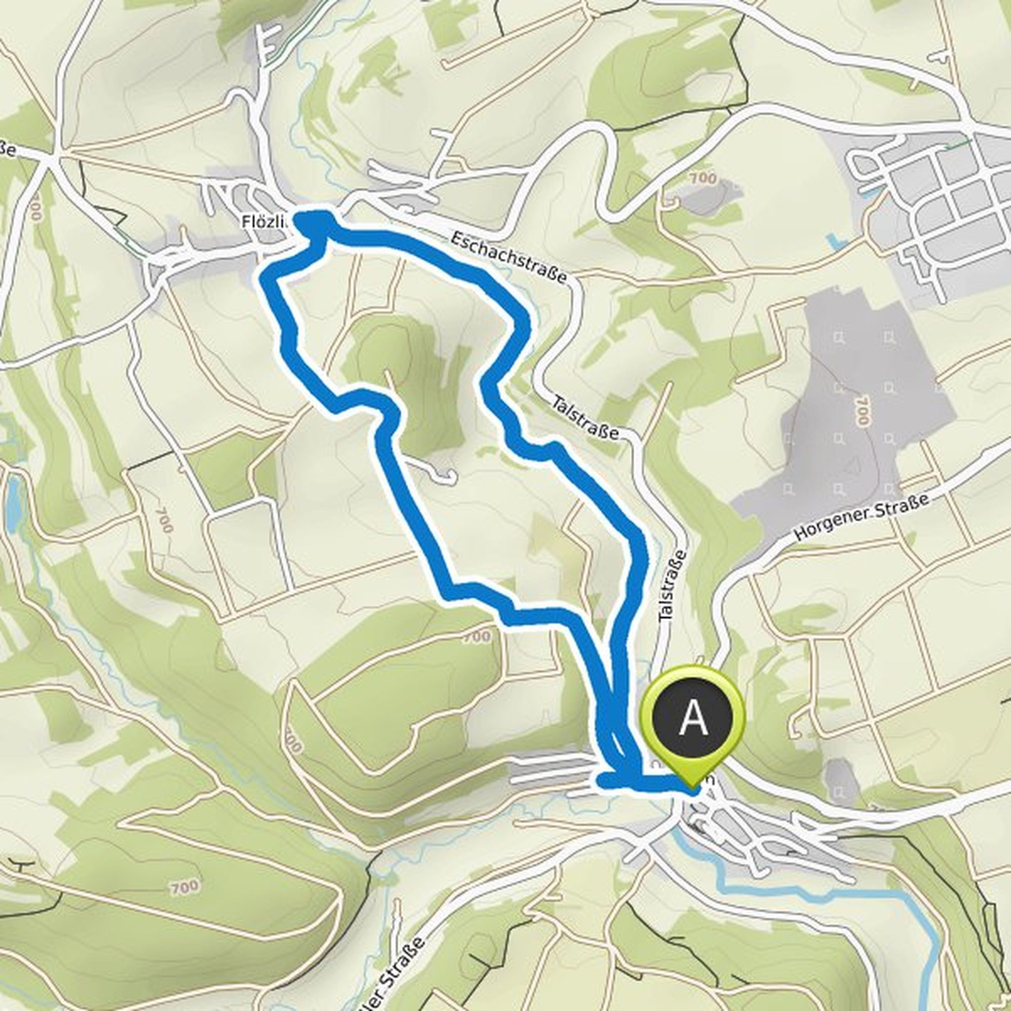
Angela Günthner planned a hike
March 17, 2022
Time
Distance
Speed
Ascent
Descent
Angela Günthner planned a hike
February 10, 2022
Time
Distance
Speed
Ascent
Descent
Angela Günthner planned a hike
February 10, 2022
Time
Distance
Speed
Ascent
Descent
Angela Günthner planned a hike
January 15, 2022
Time
Distance
Speed
Ascent
Descent

Angela Günthner planned a hike
January 15, 2022
Time
Distance
Speed
Ascent
Descent