Timeline
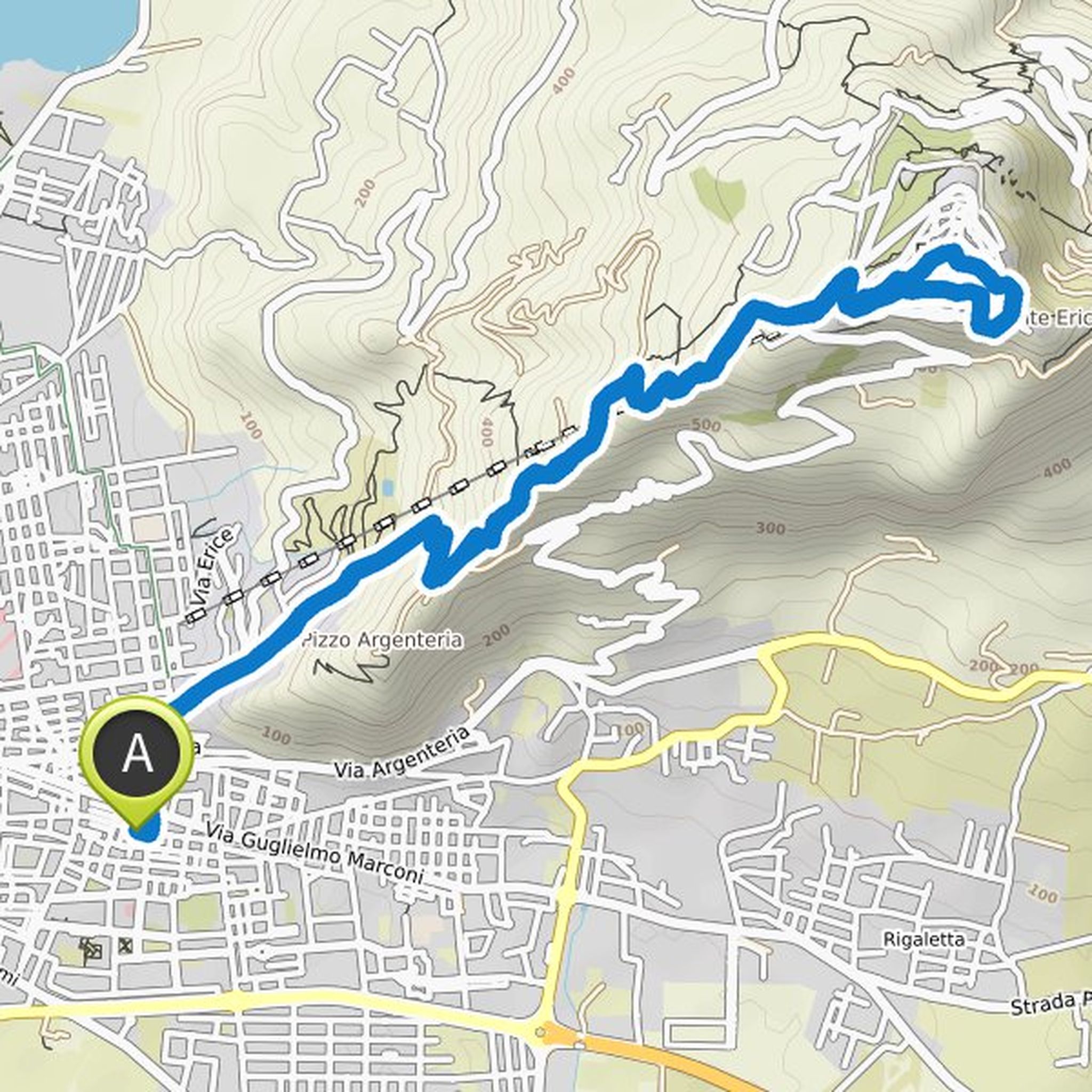
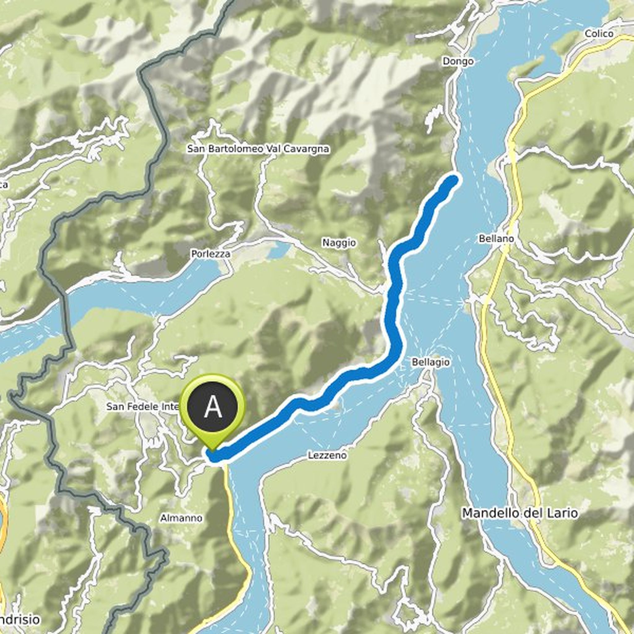
Inge Lindner planned a hike
November 1, 2022
Time
Distance
Speed
Ascent
Descent
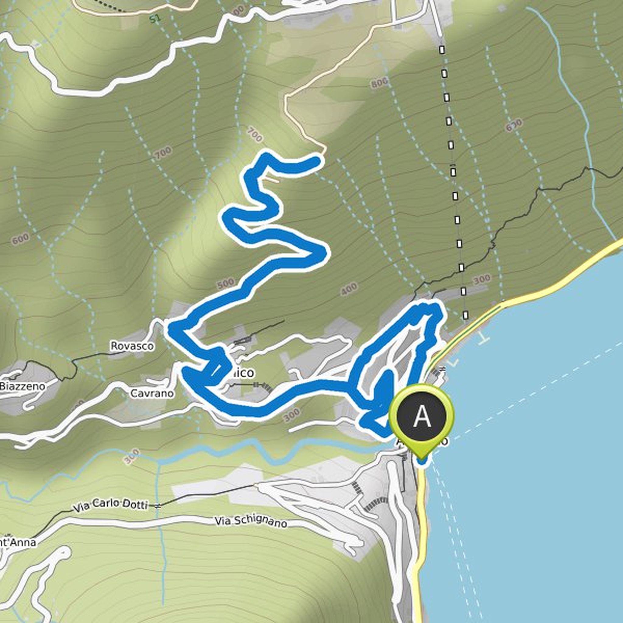
Inge Lindner planned a hike
January 8, 2022
Time
Distance
Speed
Ascent
Descent
Inge Lindner planned a hike
January 8, 2022
Time
Distance
Speed
Ascent
Descent
Inge Lindner planned a hike
December 30, 2021
Time
Distance
Speed
Ascent
Descent
Inge Lindner planned a hike
December 30, 2021
Time
Distance
Speed
Ascent
Descent
Inge Lindner planned a hike
October 30, 2021
Time
Distance
Speed
Ascent
Descent
Inge Lindner planned a hike
October 14, 2021
Time
Distance
Speed
Ascent
Descent
Inge Lindner planned a hike
October 14, 2021
Time
Distance
Speed
Ascent
Descent
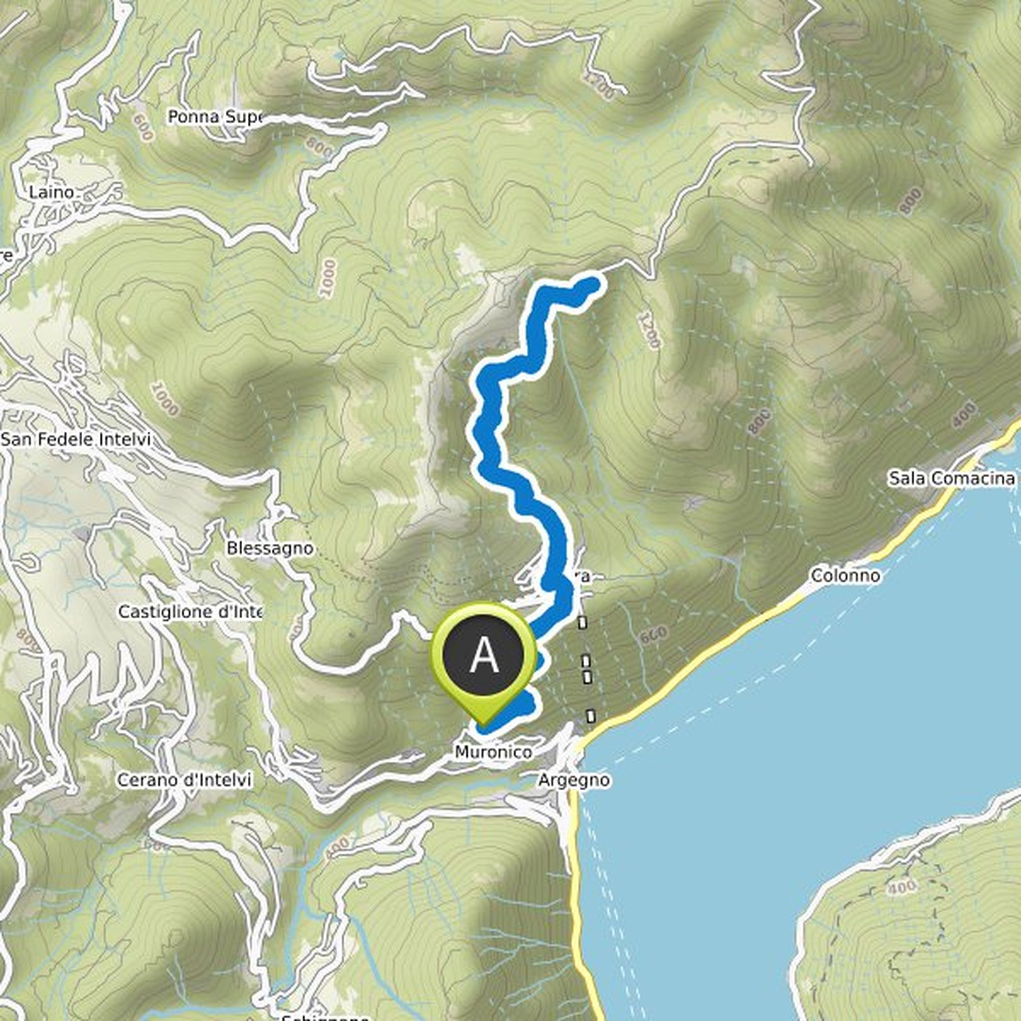
Inge Lindner planned a hike
October 12, 2021
Time
Distance
Speed
Ascent
Descent
Inge Lindner planned a hike
September 20, 2021
Time
Distance
Speed
Ascent
Descent
Inge Lindner planned a hike
September 20, 2021
Time
Distance
Speed
Ascent
Descent
Inge Lindner planned a hike
September 2, 2021
Time
Distance
Speed
Ascent
Descent
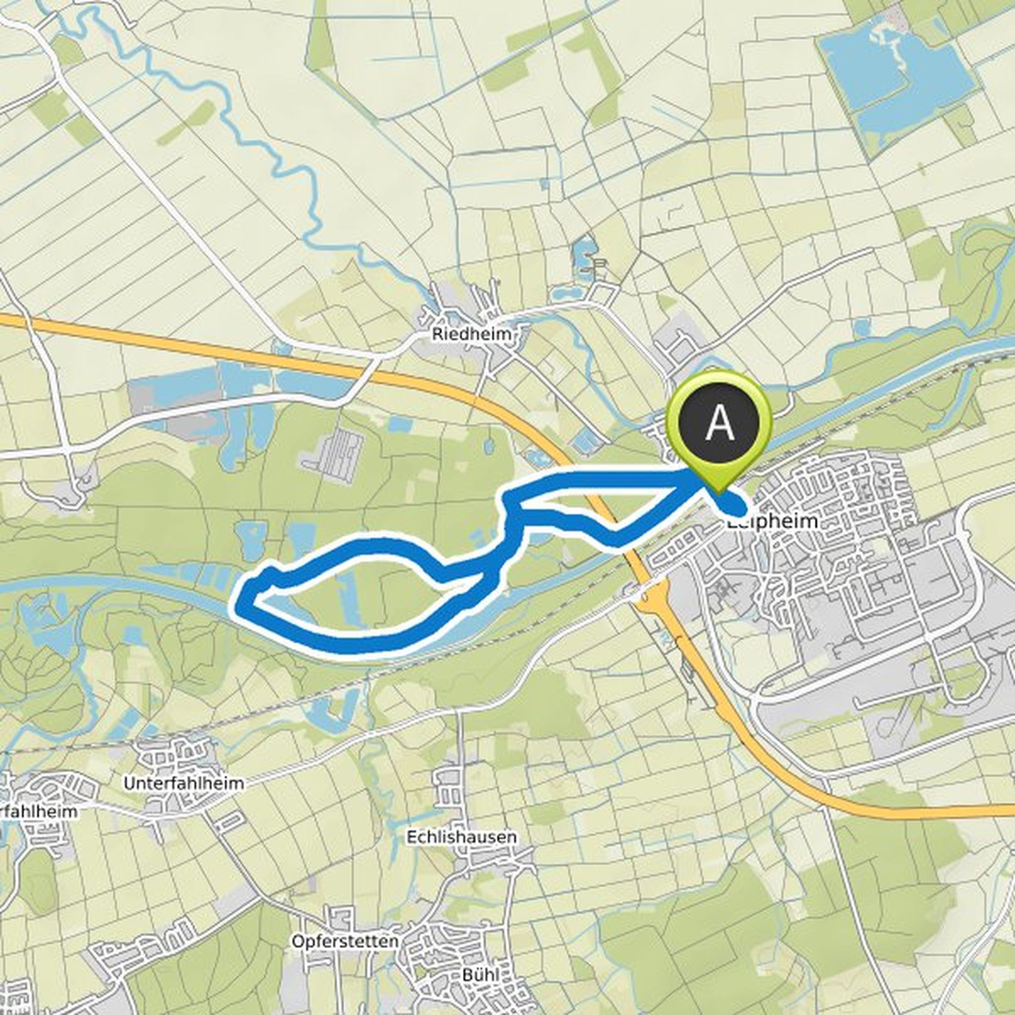
Inge Lindner planned a bike ride
August 29, 2021
Time
Distance
Speed
Ascent
Descent
Inge Lindner planned a hike
August 29, 2021
Time
Distance
Speed
Ascent
Descent
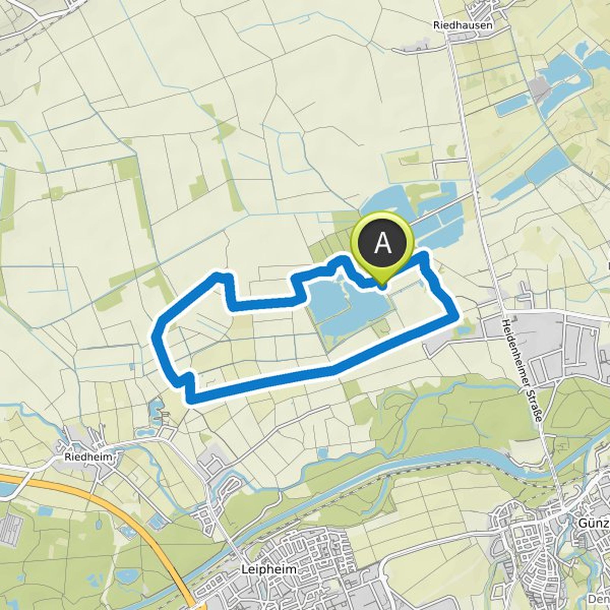
Inge Lindner planned a mountain bike ride
August 13, 2021
Time
Distance
Speed
Ascent
Descent