Timeline
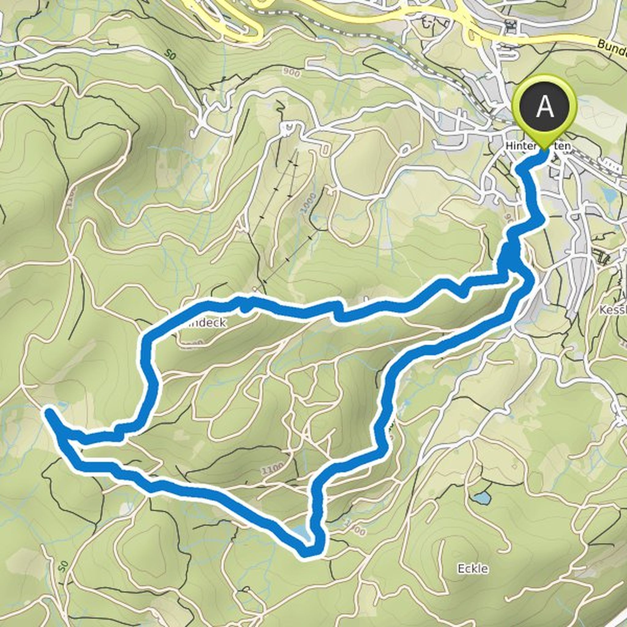
Anette Hägele planned a hike
September 16, 2021
Time
3h06m
Distance
11.0km
Speed
3.6km/h
Ascent
230m
Descent
230m

Map data © OpenStreetMap contributors
Anette Hägele planned a bike ride
May 29, 2021
Time
3h51m
Distance
49.4km
Speed
12.8km/h
Ascent
590m
Descent
590m

Map data © OpenStreetMap contributors
Anette Hägele planned a hike
February 25, 2021
Time
3h48m
Distance
14.2km
Speed
3.7km/h
Ascent
170m
Descent
160m

Map data © OpenStreetMap contributors
Uwe and Anette Hägele planned a mountaineering activity
November 14, 2020
Time
3h17m
Distance
10.9km
Speed
3.3km/h
Ascent
370m
Descent
370m
Map data © OpenStreetMap contributors
Anette Hägele planned a hike
August 13, 2020
Time
2h48m
Distance
9.15km
Speed
3.3km/h
Ascent
320m
Descent
320m

Map data © OpenStreetMap contributors
Anette Hägele and Uwe planned a hike
July 9, 2020
Time
4h32m
Distance
14.5km
Speed
3.2km/h
Ascent
570m
Descent
570m

Map data © OpenStreetMap contributors