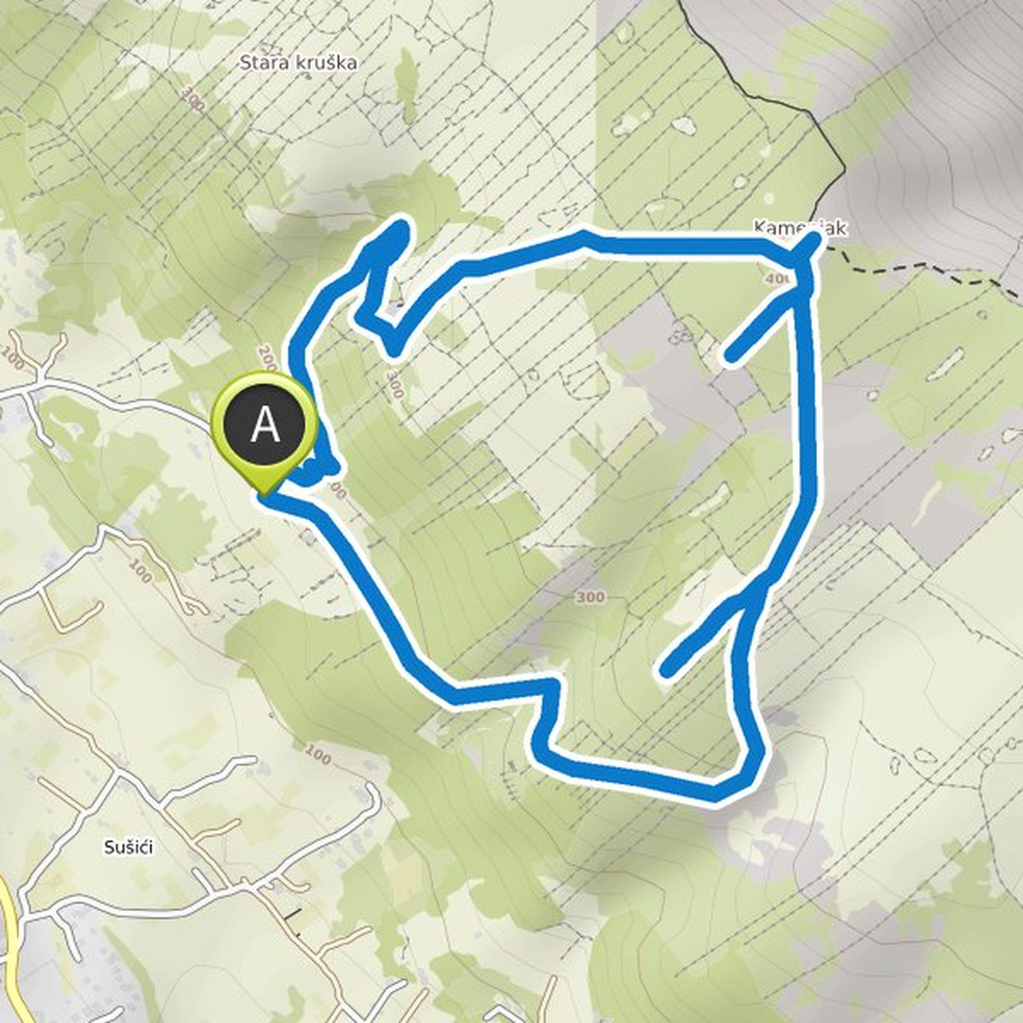
Timeline
Davor Grdic and Dea Anđelković planned a hike
about 18 hours ago
Time
Distance
Speed
Ascent
Descent
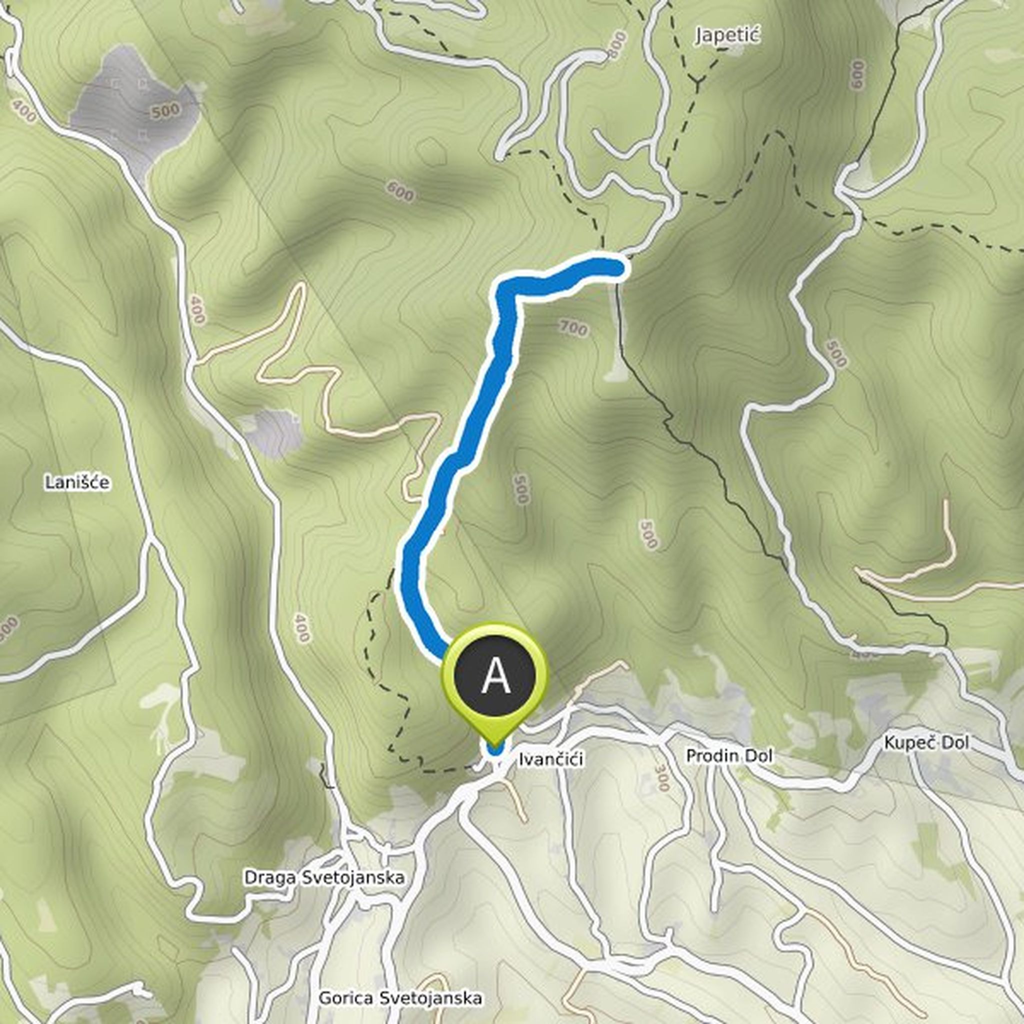
Davor Grdic and Dea Anđelković planned a hike
2 days ago
Time
Distance
Speed
Ascent
Descent
Davor Grdic and others planned a hike
September 20, 2025
Time
Distance
Speed
Ascent
Descent
Davor Grdic and Dea Anđelković planned a hike
September 20, 2025
Time
Distance
Speed
Ascent
Descent
Davor Grdic and others planned a hike
September 20, 2025
Time
Distance
Speed
Ascent
Descent
Davor Grdic and Dea Anđelković planned a hike
May 19, 2025
Time
Distance
Speed
Ascent
Descent
Davor Grdic and Dea Anđelković planned a hike
May 2, 2025
Time
Distance
Speed
Ascent
Descent
Davor Grdic and Dea Anđelković planned a hike
March 21, 2025
Time
Distance
Speed
Ascent
Descent
Davor Grdic and others planned a hike
March 21, 2025
Time
Distance
Speed
Ascent
Descent
Davor Grdic and Dea Anđelković planned a hike
March 6, 2025
Time
Distance
Speed
Ascent
Descent
Davor Grdic and Dea Anđelković planned a hike
March 6, 2025
Time
Distance
Speed
Ascent
Descent
Davor Grdic and Dea Anđelković planned a hike
August 4, 2021
Time
Distance
Speed
Ascent
Descent

David and Dea Anđelković planned a hike
January 12, 2020
Time
Distance
Speed
Ascent
Descent
Davor Grdic and Dea Anđelković planned a hike
January 11, 2020
Time
Distance
Speed
Ascent
Descent

May 5, 2025
Awesome hiking route. Quite technical and requires hiking equipment (a lot sharp stones on route). I would recommend taking 3l of water and sun protection. Additional switching route direction was great option for us as you are fresh for most technical part.