Timeline
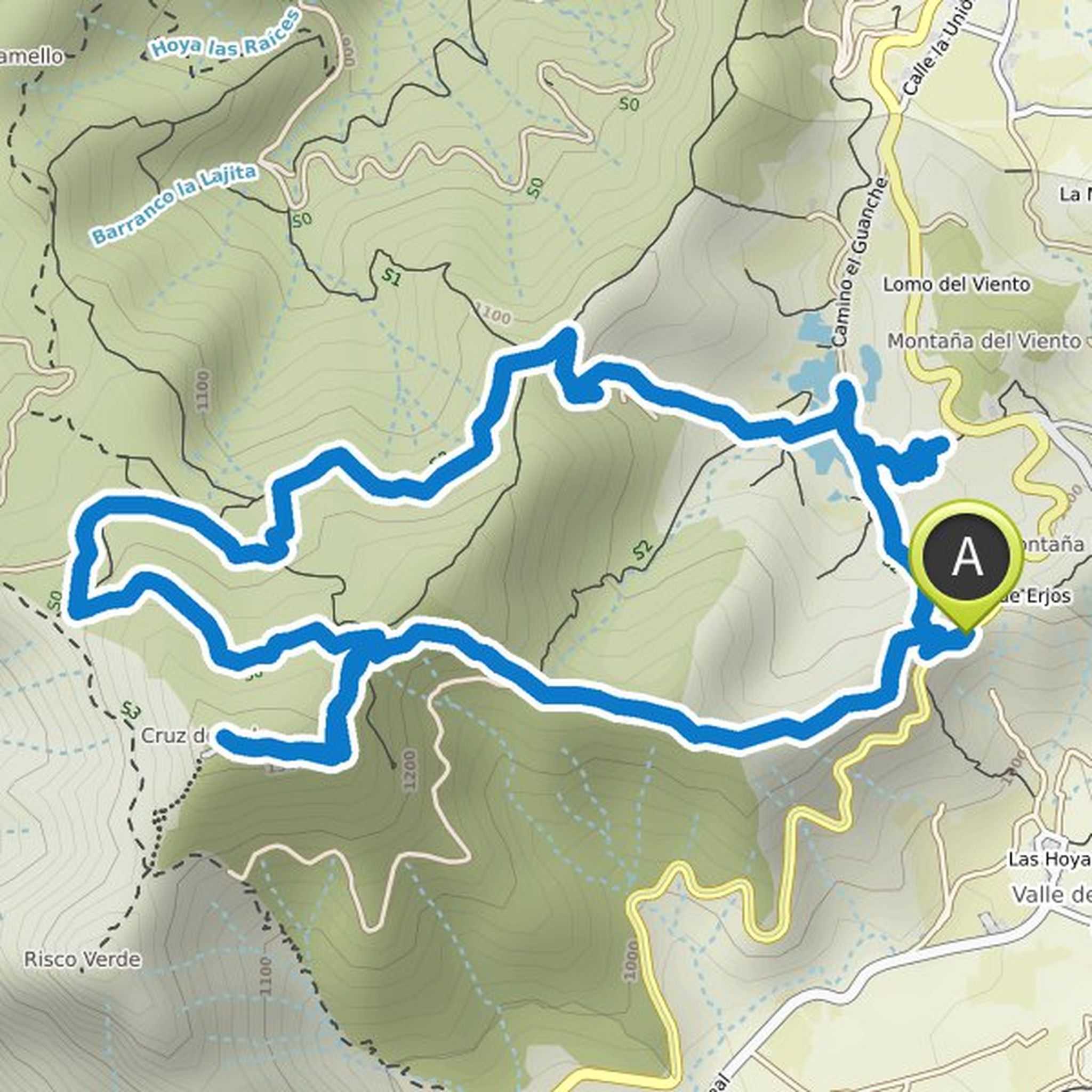
Wolfgang planned a hike
September 25, 2022
Time
Distance
Speed
Ascent
Descent
Wolfgang planned a hike
February 23, 2022
Time
Distance
Speed
Ascent
Descent
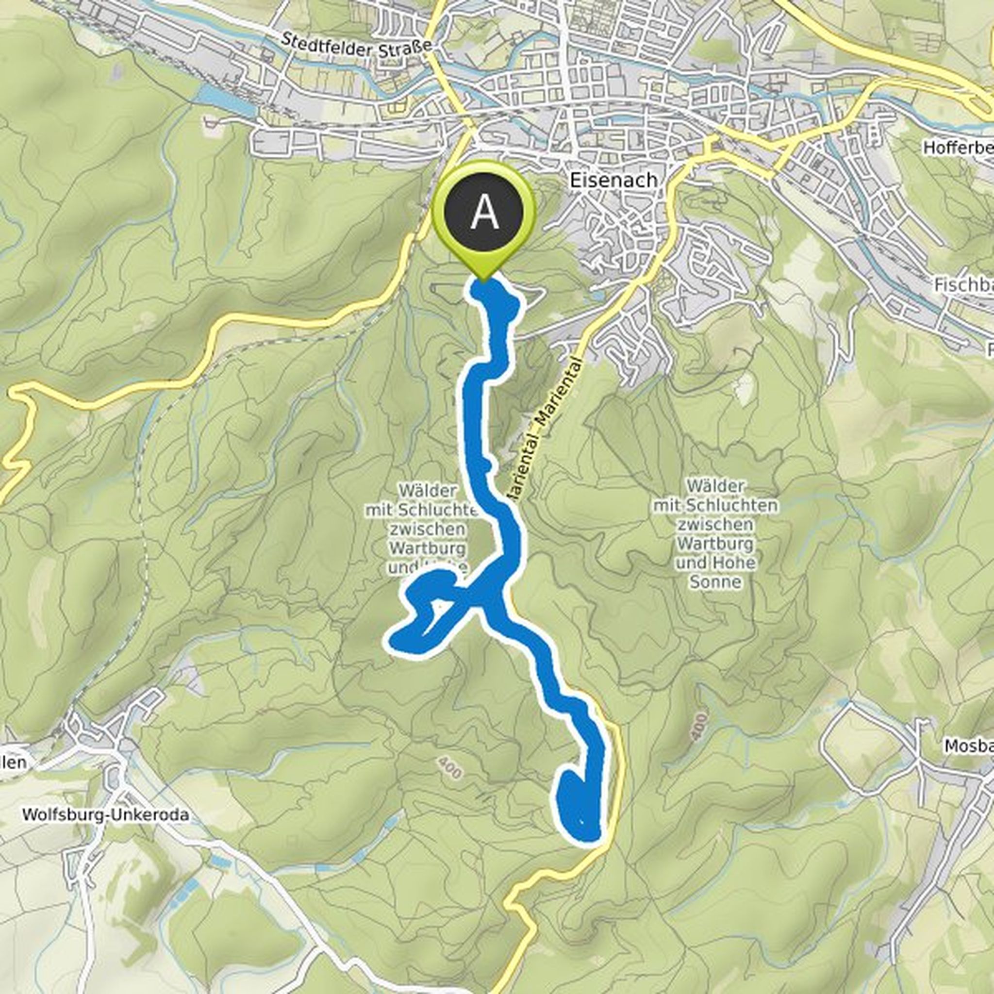
Wolfgang planned a hike
February 22, 2022
Time
Distance
Speed
Ascent
Descent
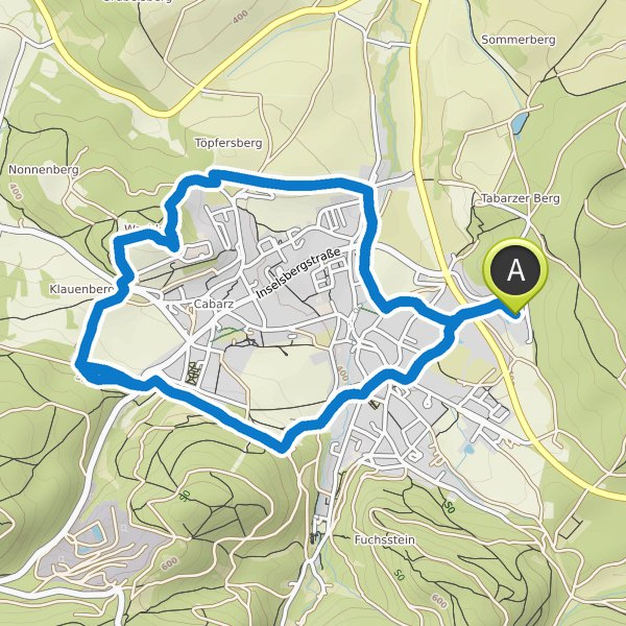
Wolfgang planned a hike
February 22, 2022
Time
Distance
Speed
Ascent
Descent
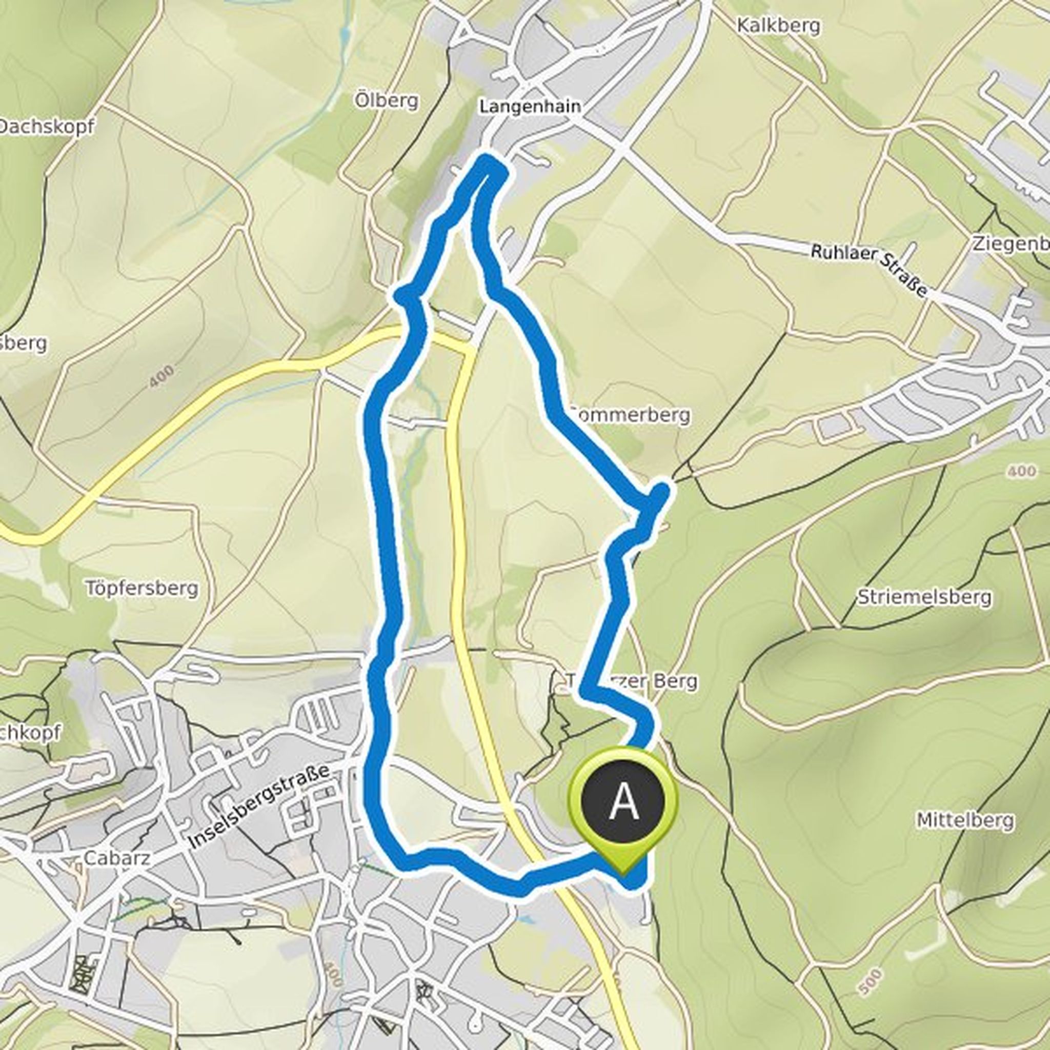
Wolfgang planned a hike
January 13, 2022
Time
Distance
Speed
Ascent
Descent
Wolfgang planned a hike
January 13, 2022
Time
Distance
Speed
Ascent
Descent
Wolfgang planned a hike
January 13, 2022
Time
Distance
Speed
Ascent
Descent
Wolfgang planned a hike
January 13, 2022
Time
Distance
Speed
Ascent
Descent
Wolfgang planned a hike
January 13, 2022
Time
Distance
Speed
Ascent
Descent
Wolfgang planned a hike
January 13, 2022
Time
Distance
Speed
Ascent
Descent
Wolfgang planned a hike
January 13, 2022
Time
Distance
Speed
Ascent
Descent
Wolfgang planned a hike
January 13, 2022
Time
Distance
Speed
Ascent
Descent
Wolfgang planned a hike
January 13, 2022
Time
Distance
Speed
Ascent
Descent
Wolfgang planned a hike
January 13, 2022
Time
Distance
Speed
Ascent
Descent
Wolfgang planned a hike
January 13, 2022
Time
Distance
Speed
Ascent
Descent