Timeline
Micha planned a hike
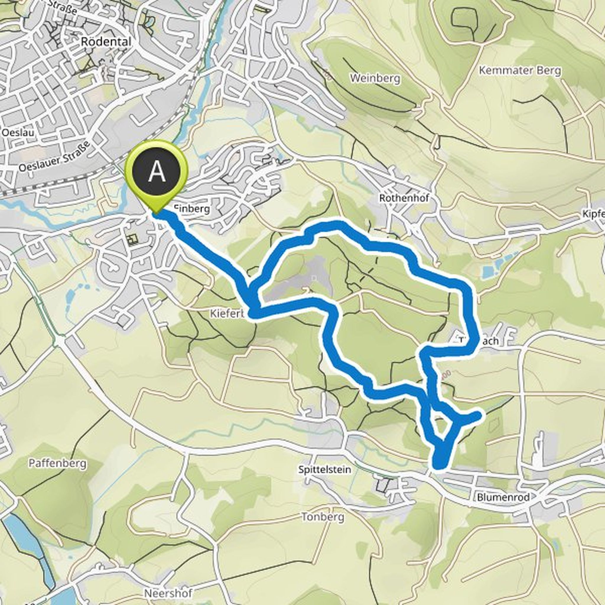
October 20, 2022
Time
Distance
Speed
Ascent
Descent
Micha planned a hike
October 20, 2022
Time
Distance
Speed
Ascent
Descent
Micha planned a hike
October 20, 2022
Time
Distance
Speed
Ascent
Descent
Micha planned a hike
October 6, 2022
Time
Distance
Speed
Ascent
Descent
Micha planned a hike
October 6, 2022
Time
Distance
Speed
Ascent
Descent
Micha planned a hike
October 6, 2022
Time
Distance
Speed
Ascent
Descent
Micha planned a hike
September 22, 2022
Time
Distance
Speed
Ascent
Descent
Micha planned a hike
September 9, 2022
Time
Distance
Speed
Ascent
Descent
Micha planned a hike
May 1, 2022
Time
Distance
Speed
Ascent
Descent
Micha planned a hike
May 1, 2022
Time
Distance
Speed
Ascent
Descent
Micha planned a mountain bike ride
April 30, 2022
Time
Distance
Speed
Ascent
Descent
Micha planned a hike
April 30, 2022
Time
Distance
Speed
Ascent
Descent
Micha planned a hike
March 24, 2022
Time
Distance
Speed
Ascent
Descent
Micha planned a hike
March 24, 2022
Time
Distance
Speed
Ascent
Descent
Micha planned a hike
March 19, 2022
Time
Distance
Speed
Ascent
Descent