Timeline
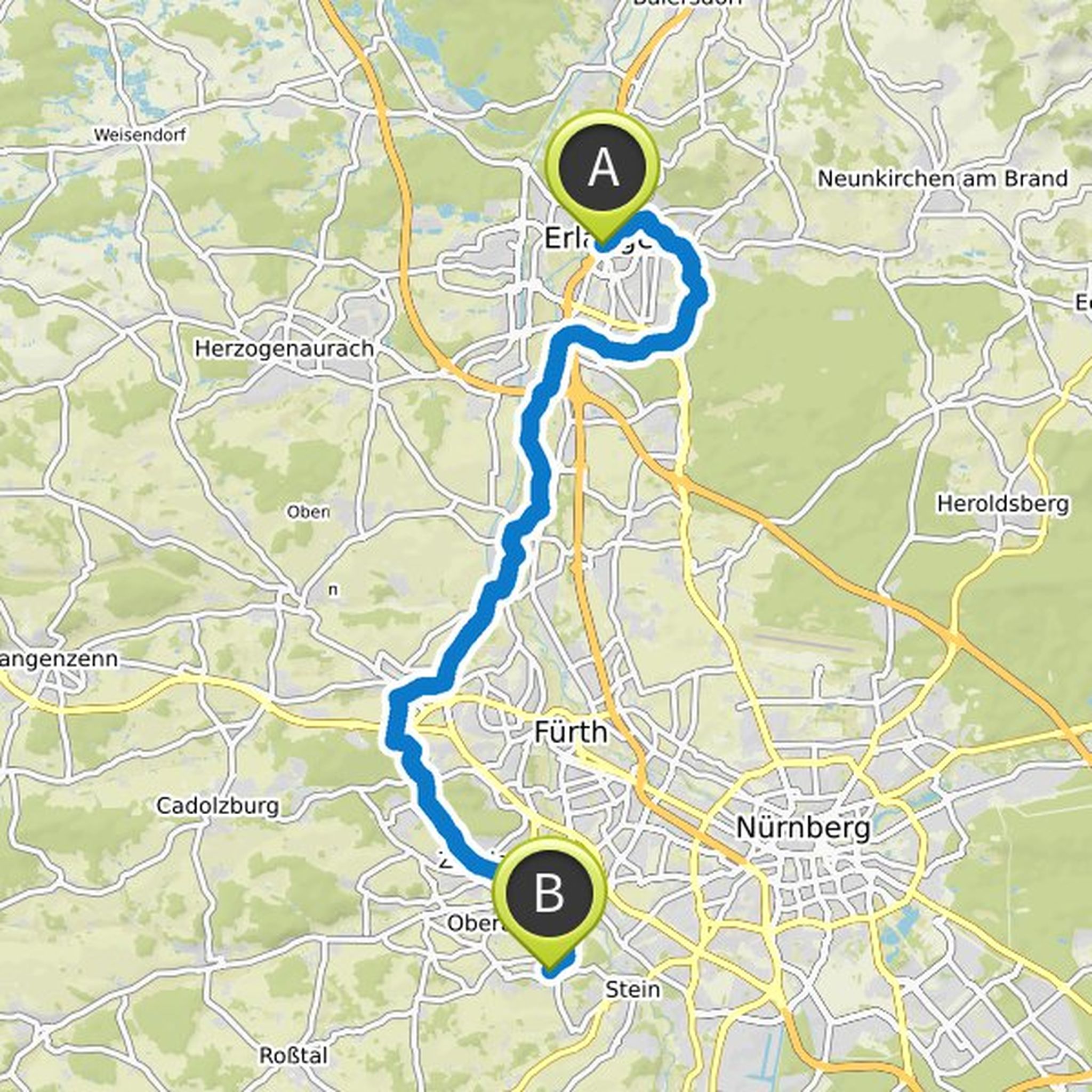
Andi planned a hike
June 3, 2026
Time
Distance
Speed
Ascent
Descent
Andi planned a hike
August 9, 2021
Time
Distance
Speed
Ascent
Descent
Andi planned a hike
August 9, 2021
Time
Distance
Speed
Ascent
Descent
Andi planned a hike
May 29, 2021
Time
Distance
Speed
Ascent
Descent
Andi planned a hike
May 29, 2021
Time
Distance
Speed
Ascent
Descent
Andi planned a hike
May 29, 2021
Time
Distance
Speed
Ascent
Descent
Andi planned a hike
May 29, 2021
Time
Distance
Speed
Ascent
Descent
Andi planned a hike
May 29, 2021
Time
Distance
Speed
Ascent
Descent
Andi planned a hike
May 29, 2021
Time
Distance
Speed
Ascent
Descent
Andi planned a hike
May 29, 2021
Time
Distance
Speed
Ascent
Descent
Andi planned an adventure
September 4, 2020
Time
Distance
Speed
Ascent
Descent
Andi planned an adventure
July 17, 2020
Time
Distance
Speed
Ascent
Descent
Andi planned an adventure
July 2, 2020
Time
Distance
Speed
Ascent
Descent

Andi planned an adventure
July 2, 2020
Time
Distance
Speed
Ascent
Descent