Timeline
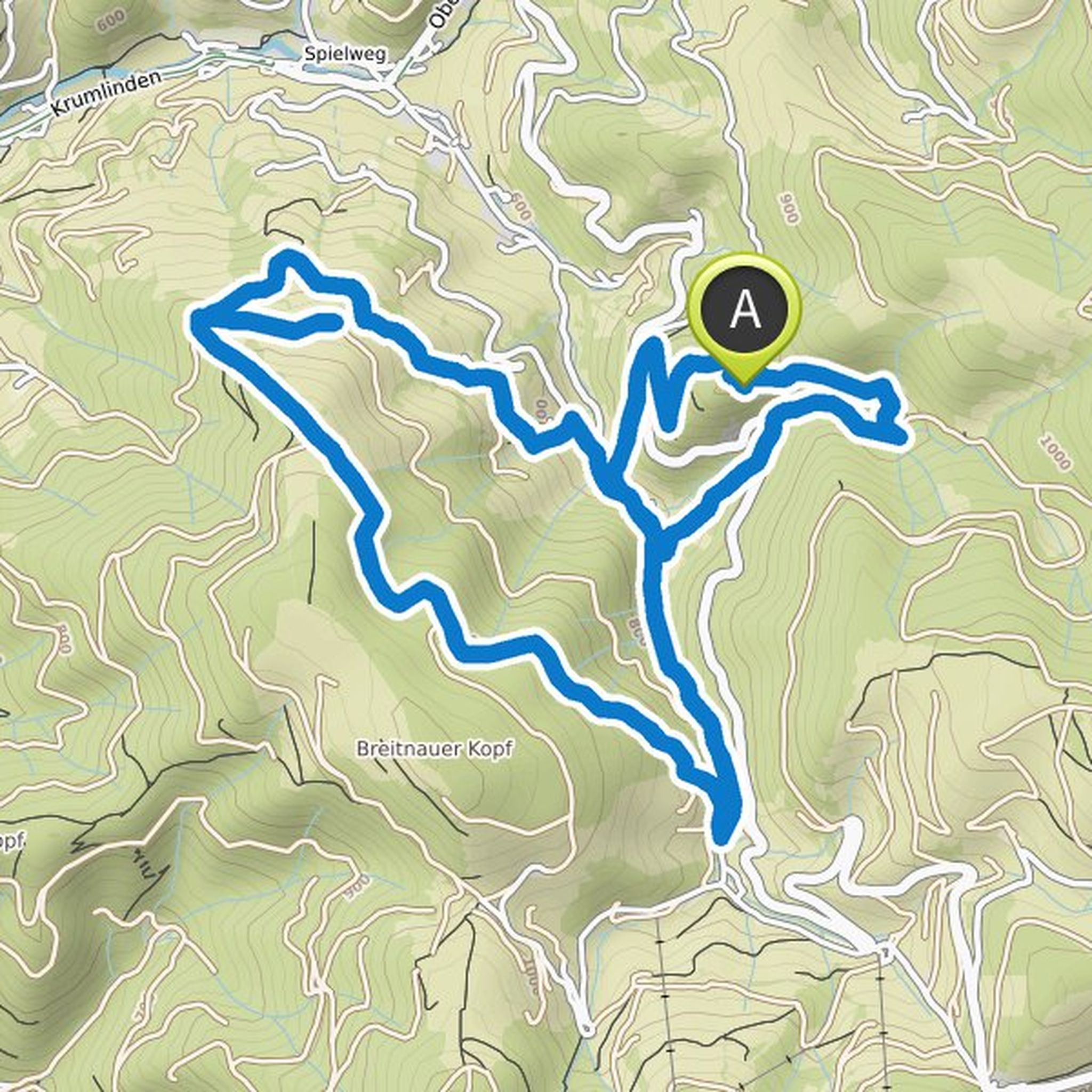
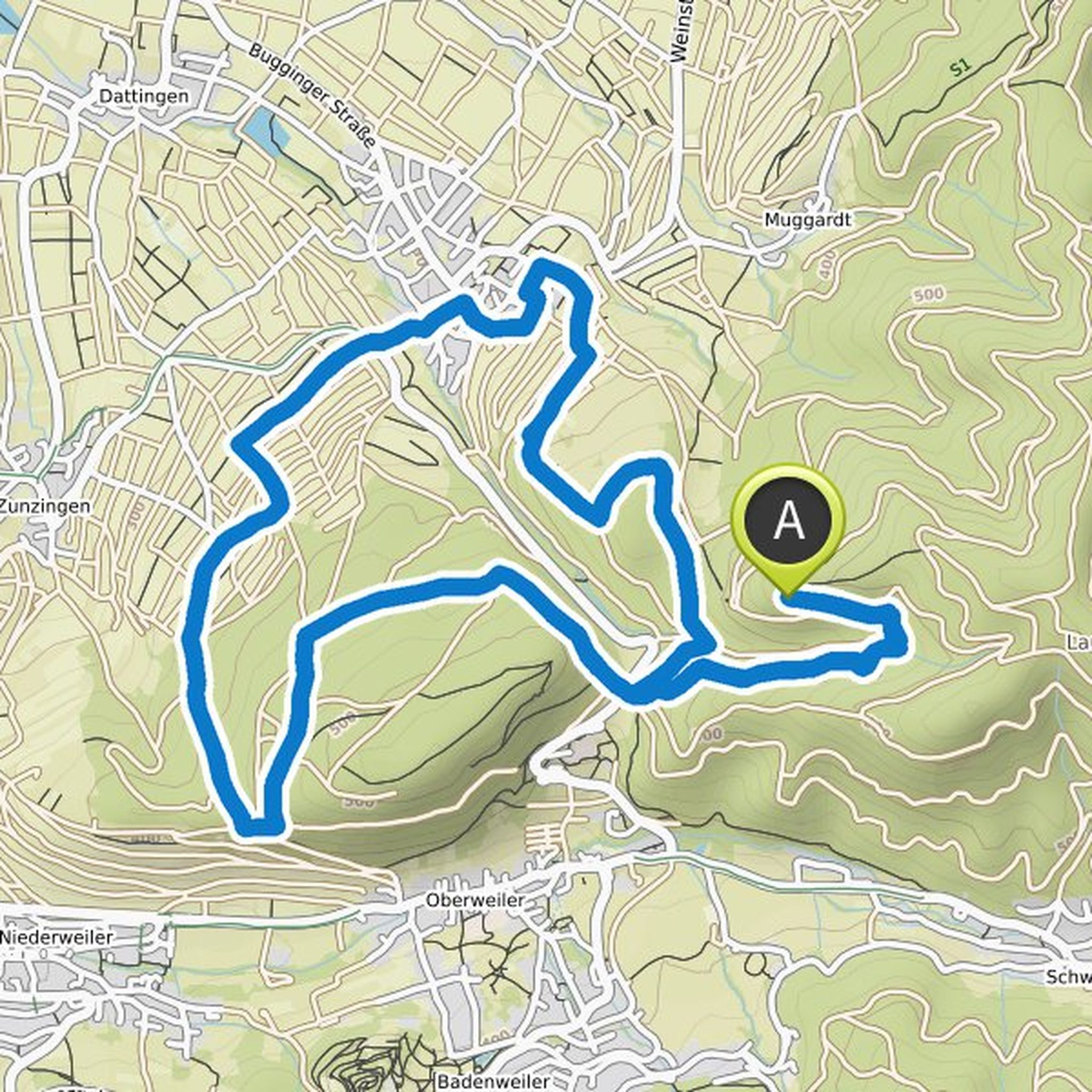
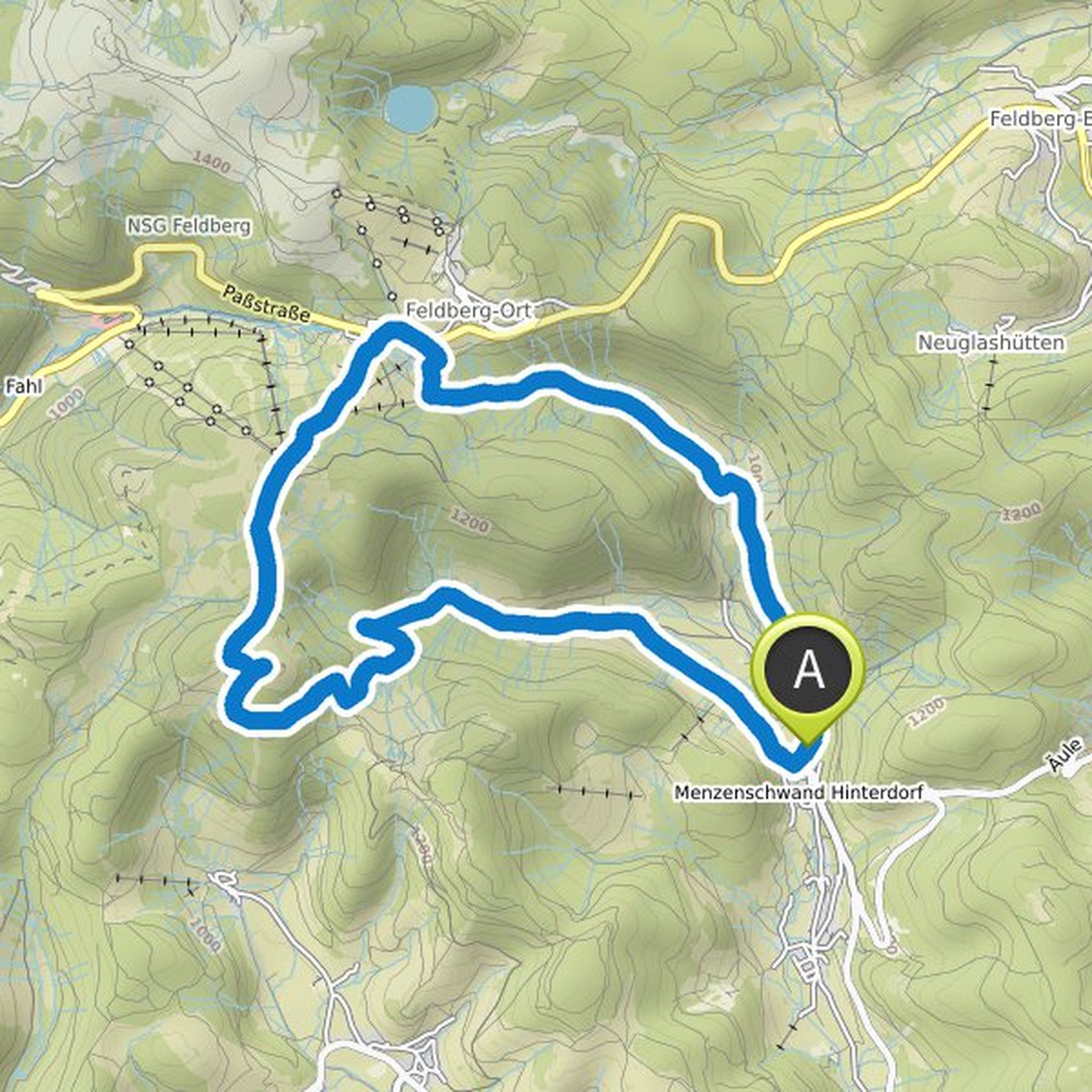
Thomas Neumann planned a hike
January 9, 2022
Time
Distance
Speed
Ascent
Descent
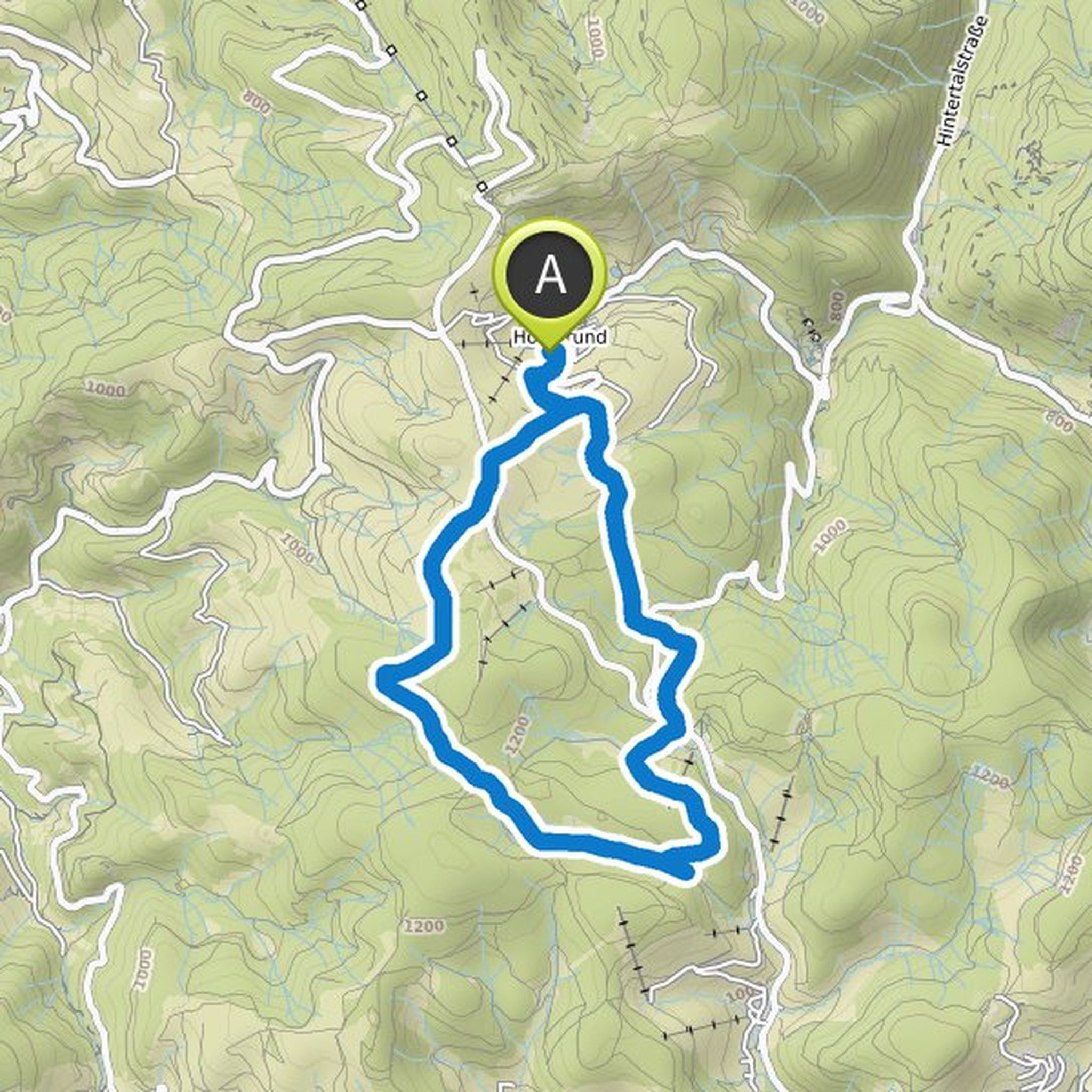
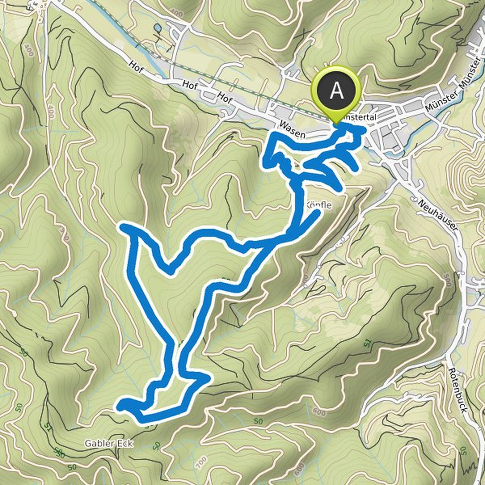
Thomas Neumann planned a hike
January 9, 2022
Time
Distance
Speed
Ascent
Descent
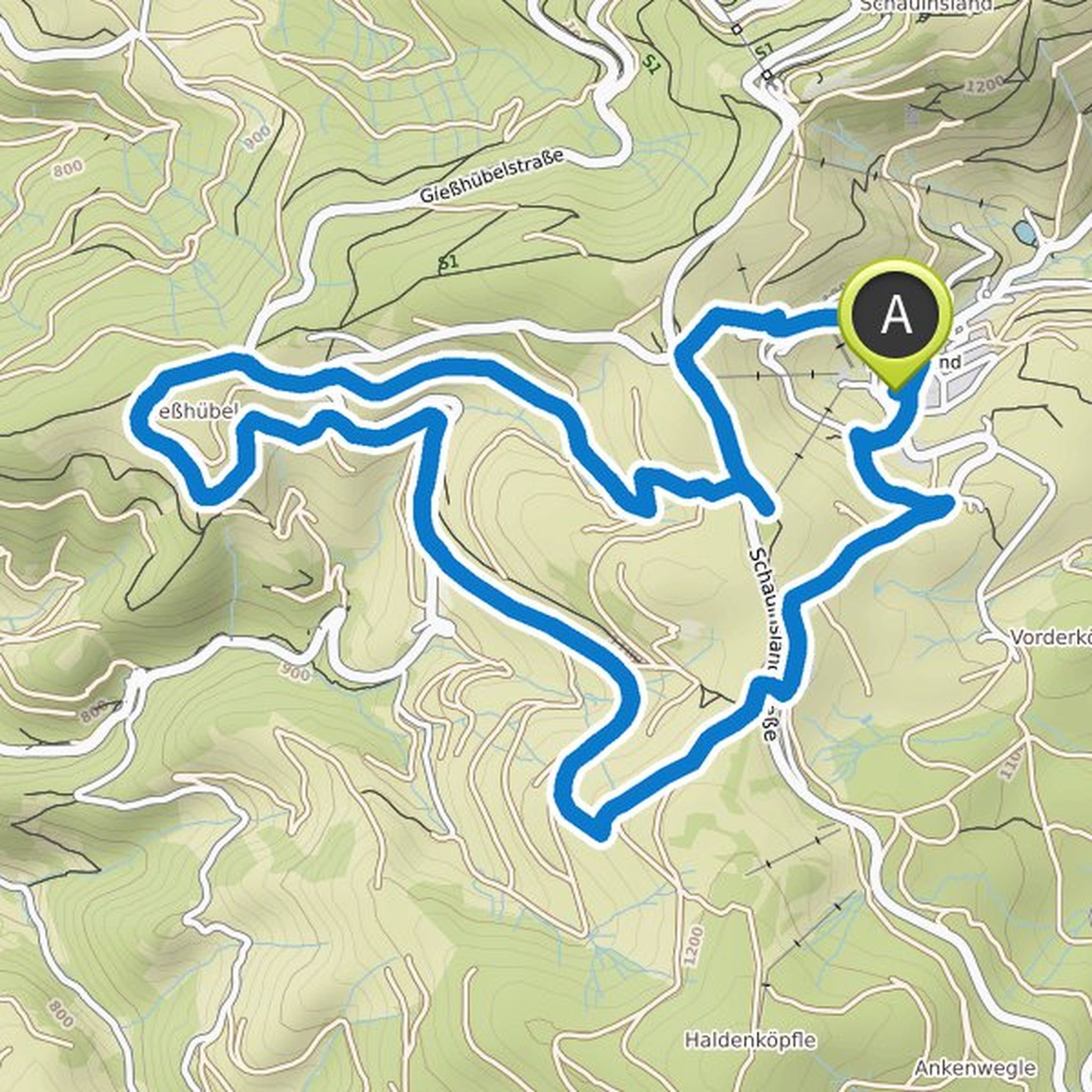
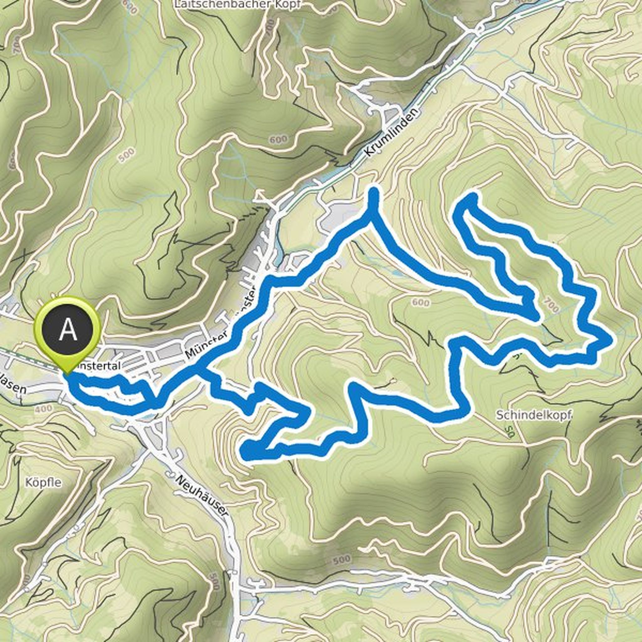
Thomas Neumann planned a hike
January 9, 2022
Time
Distance
Speed
Ascent
Descent
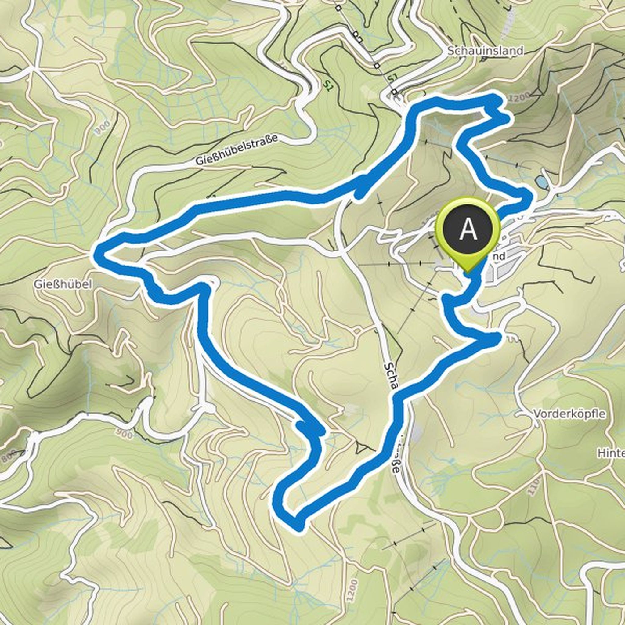
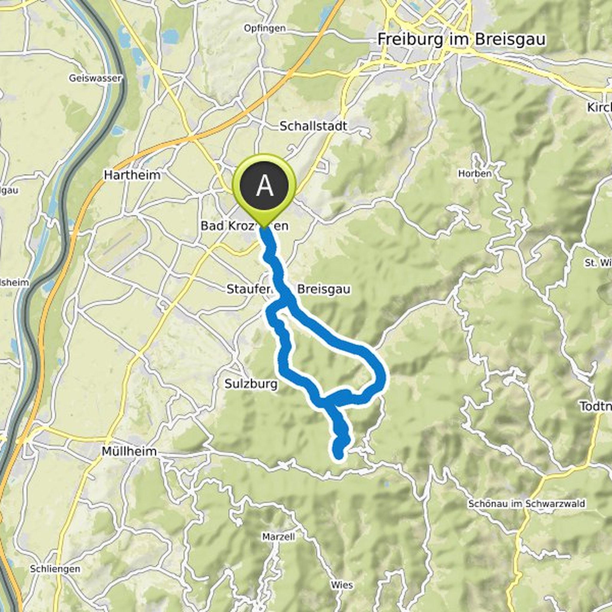
Thomas Neumann planned a hike
August 15, 2021
Time
Distance
Speed
Ascent
Descent
Thomas Neumann planned a mountain bike ride
August 15, 2021
Time
Distance
Speed
Ascent
Descent
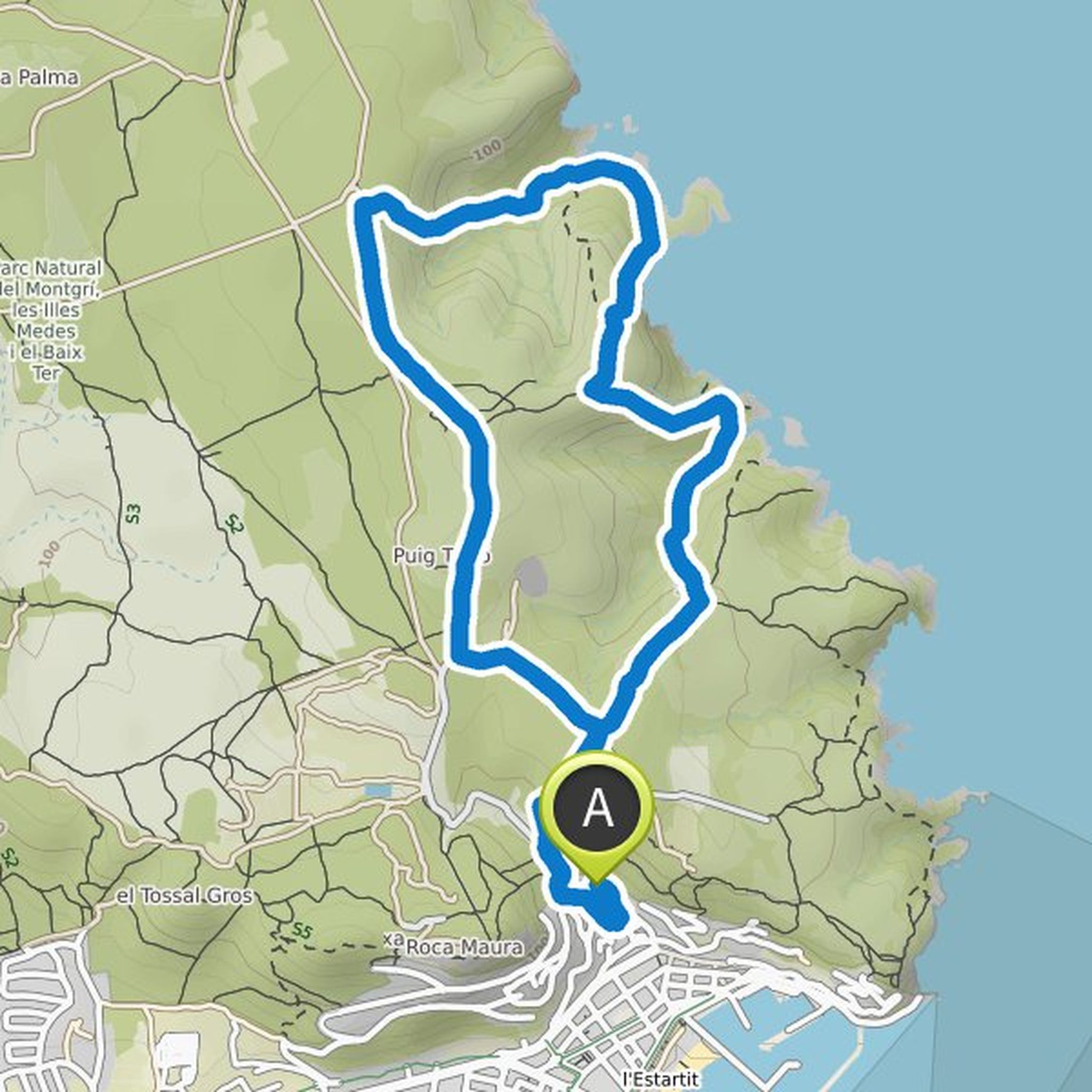
Thomas Neumann planned a hike
August 10, 2021
Time
Distance
Speed
Ascent
Descent
Thomas Neumann planned a hike
June 4, 2021
Time
Distance
Speed
Ascent
Descent
Thomas Neumann planned a hike
June 3, 2021
Time
Distance
Speed
Ascent
Descent
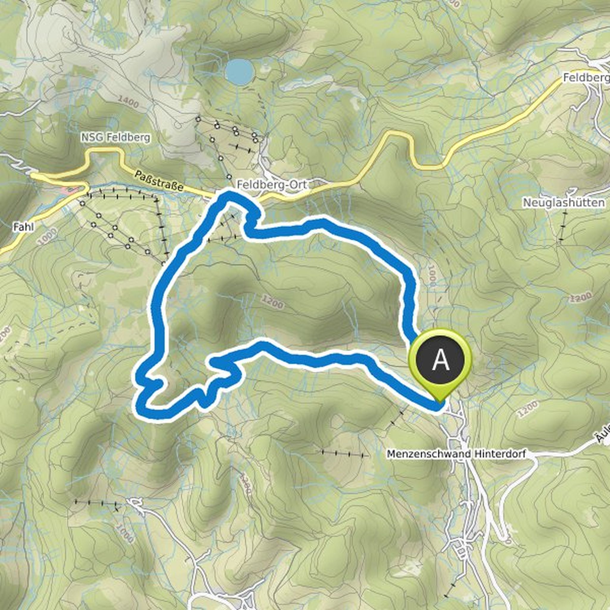
Thomas Neumann planned a hike
May 29, 2021
Time
Distance
Speed
Ascent
Descent
Thomas Neumann planned a hike
May 29, 2021
Time
Distance
Speed
Ascent
Descent
Thomas Neumann planned a hike
May 29, 2021
Time
Distance
Speed
Ascent
Descent