스토먼 최고의 러닝 경로
4.5
(1307)
17,962
달리기 하는 사람
626
러닝
스토먼에서 하이킹하며 슐레스비히-홀슈타인 구석 부분까지 살펴볼까요? 스토먼에 있는 모든 하이킹 및 워킹 경로 컬렉션 중 가장 멋진 하이킹 경로를 엄선하여 소개해드릴게요. 다른 하이커가 공유한 실제 팁과 사진을 살펴보고 후기를 읽으며 마음에 드는 스토먼 워킹 경로를 찾아보세요.
마지막 업데이트: 10월 17, 2026
4.5
(11)
97
달리기 하는 사람
보통 조깅. 좋은 체력 필요. 대부분 포장된 지면. 실력과 관계없이 누구나 갈 수 있음.
4.8
(36)
65
달리기 하는 사람
7.15km
00:48
20m
20m
보통 조깅. 좋은 체력 필요. 대부분 포장된 지면. 실력과 관계없이 누구나 갈 수 있음.

34
달리기 하는 사람
5.83km
00:38
20m
20m
보통 조깅. 좋은 체력 필요. 대부분 포장된 지면. 실력과 관계없이 누구나 갈 수 있음.
3.3
(3)
23
달리기 하는 사람
10.3km
01:06
30m
30m
보통 조깅. 좋은 체력 필요. 대부분 포장된 지면. 실력과 관계없이 누구나 갈 수 있음.
4.3
(4)
24
달리기 하는 사람
7.84km
00:49
20m
20m
보통 조깅. 좋은 체력 필요. 대부분 포장된 지면. 실력과 관계없이 누구나 갈 수 있음.
5.0
(1)
24
달리기 하는 사람
4.86km
00:31
10m
10m
초급용 러닝. 모든 체력 수준에 적합. 대부분 포장된 지면. 실력과 관계없이 누구나 갈 수 있음.
5.0
(17)
22
달리기 하는 사람
7.63km
00:51
30m
30m
보통 조깅. 좋은 체력 필요. 대부분 포장된 지면. 실력과 관계없이 누구나 갈 수 있음.
4.6
(5)
17
달리기 하는 사람
9.23km
01:00
20m
20m
보통 조깅. 좋은 체력 필요. 대부분 포장된 지면. 실력과 관계없이 누구나 갈 수 있음.
4.0
(1)
19
달리기 하는 사람
16.6km
01:46
90m
90m
어려운 조깅. 우수한 체력 필요. 대부분 포장된 지면. 실력과 관계없이 누구나 갈 수 있음.
5.0
(5)
27
달리기 하는 사람
보통 조깅. 좋은 체력 필요. 대부분 포장된 지면. 실력과 관계없이 누구나 갈 수 있음.
더 다양한 경로와 다른 탐험가들의 추천을 살펴보세요.
이미 komoot 계정이 있나요?
투어 추천은 다른 사람들이 komoot에서 완료한 수천 개의 활동을 바탕으로 구성되어 있습니다.
오늘 무료 계정으로 시작하세요
다음 모험이 기다리고 있어요.
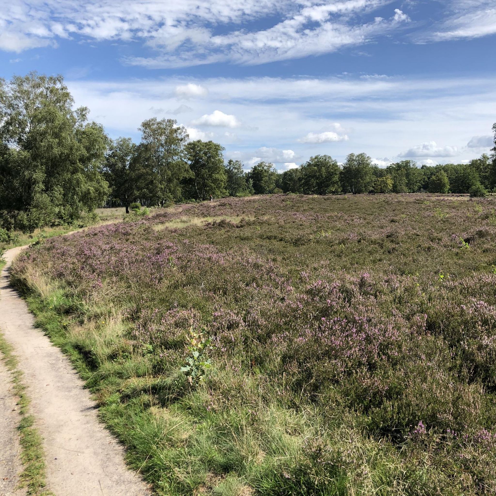
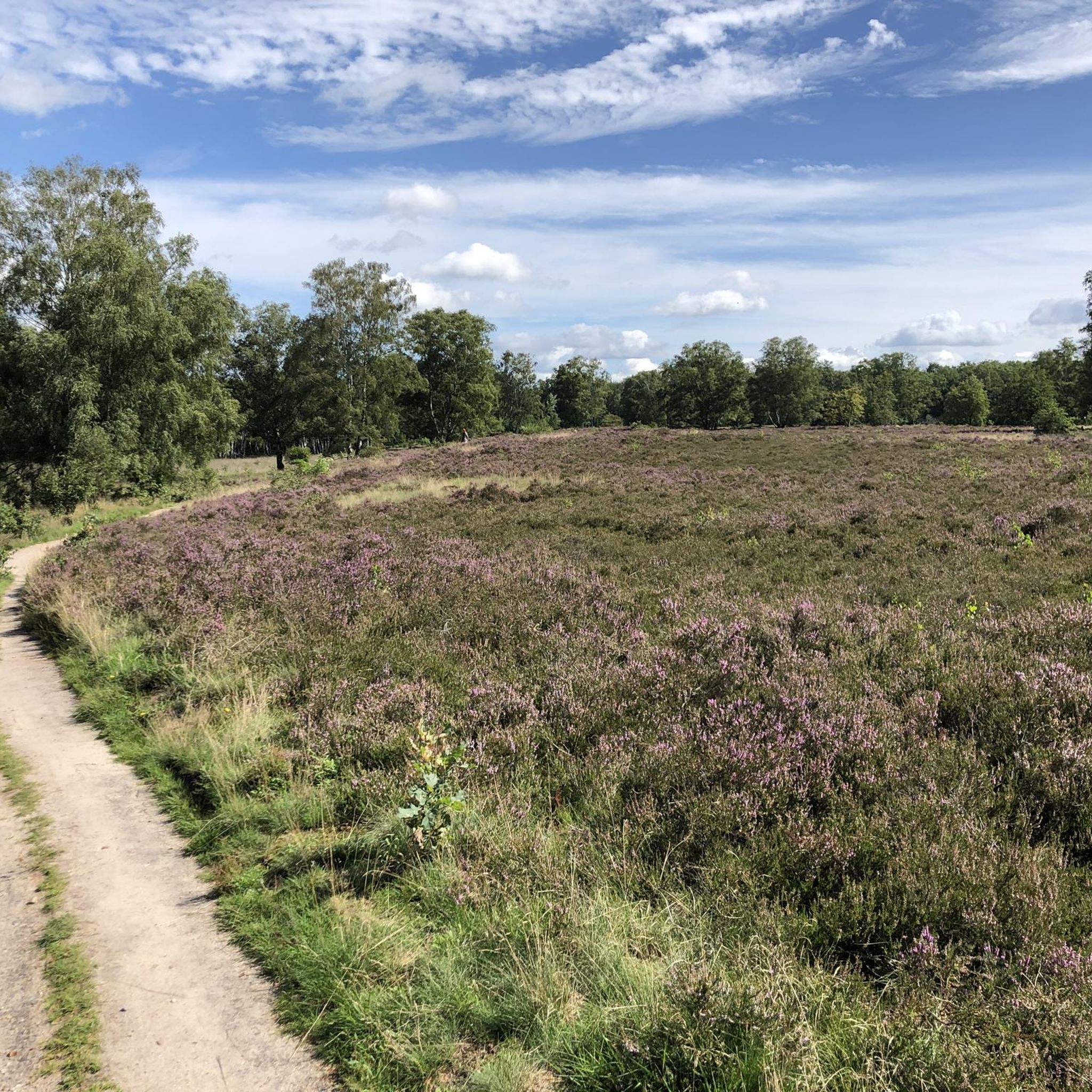
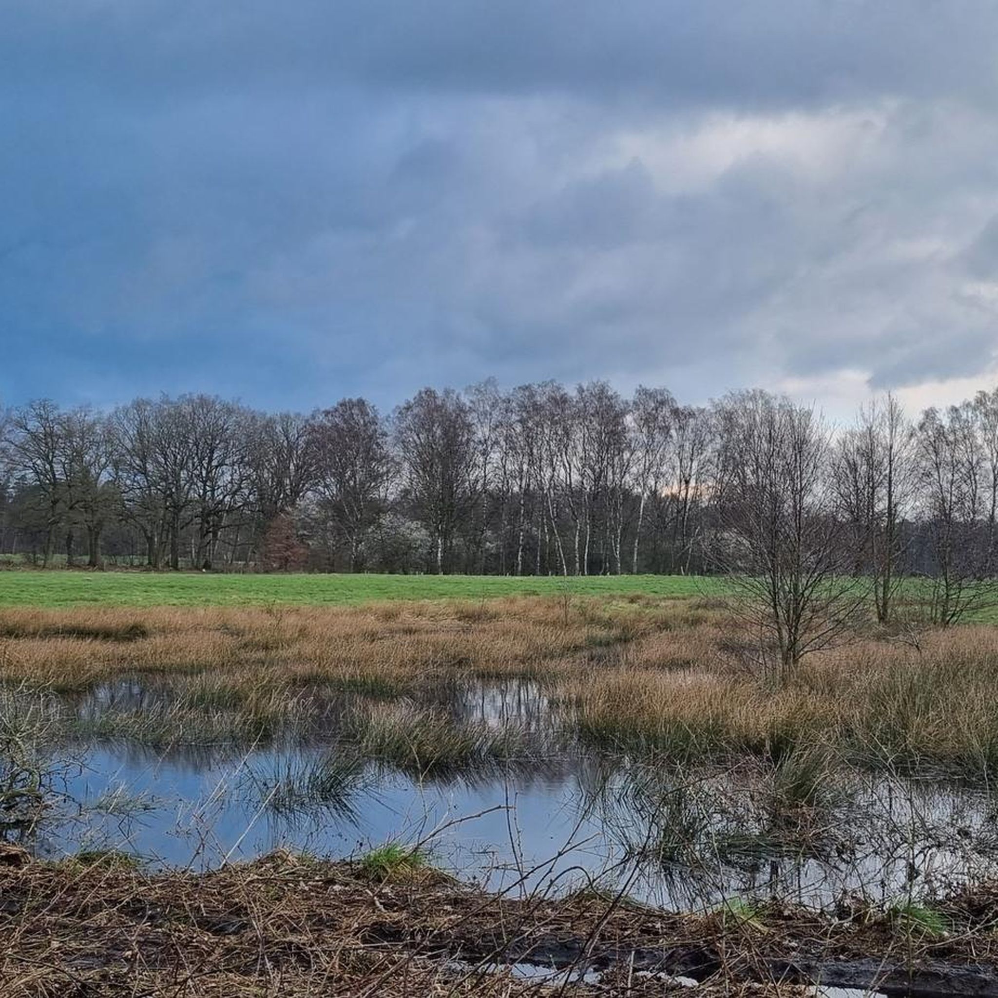
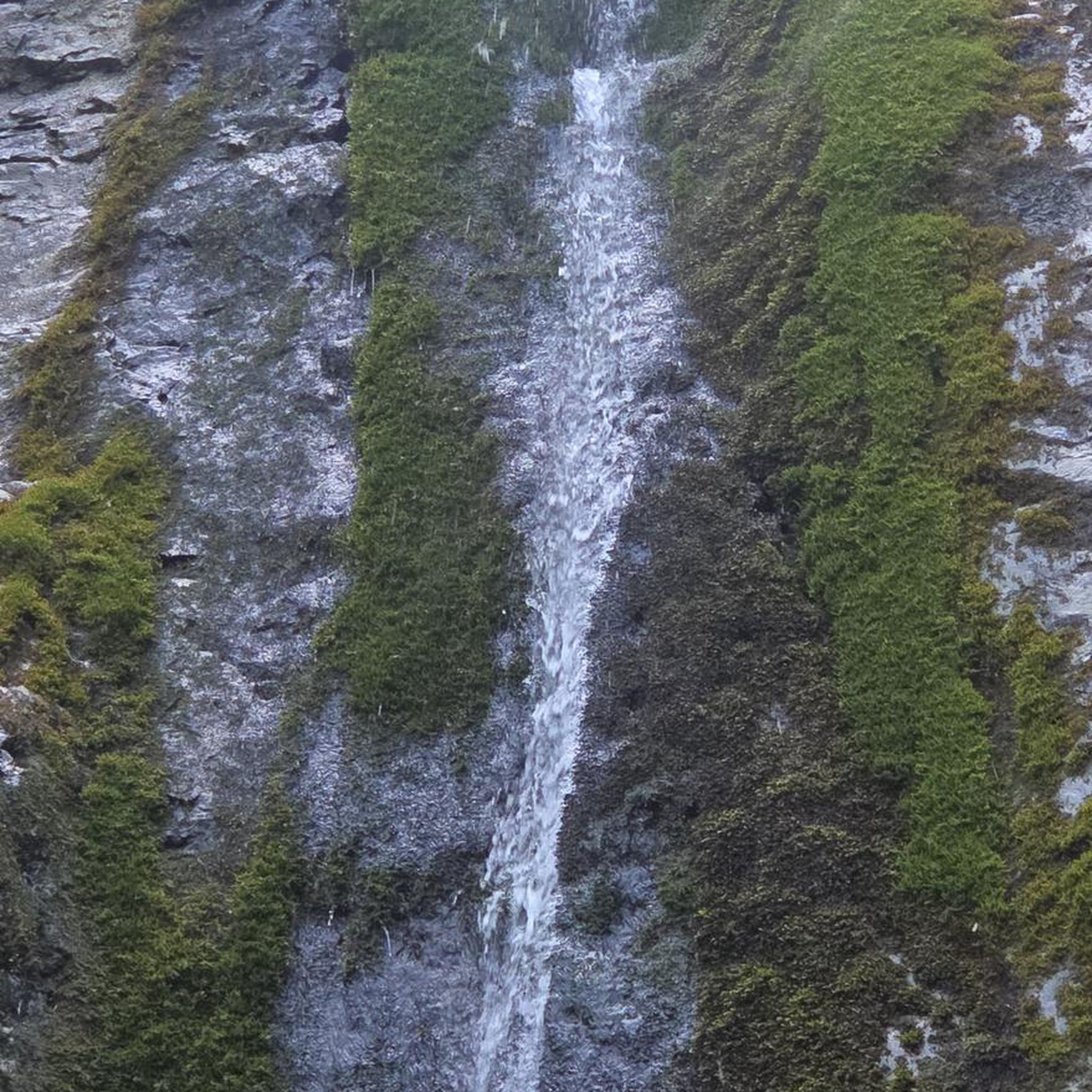
커뮤니티 팁


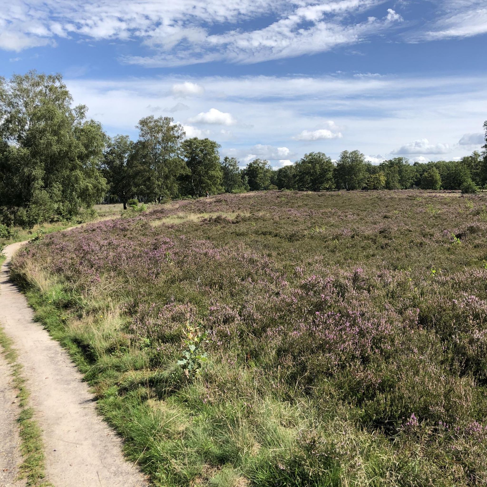
이 숲에서는 그래블 바이크를 잘 탈 수 있지만, 항상 사람들이 많습니다. 그러니 조심하시고 서로를 챙겨주세요. Quelltal은 아름답습니다. 이곳에서 Alster 강은 비교적 자연적이고 야생적인 흐름을 유지하고 있습니다.
1
0


Smile! That's a good tip, because we can't laugh enough these days! 😀
0
0
Price-performance ratio = Excellent! Definitely worth it ❤️🔥
2
0

The Kupferteich (Copper Pond) on the border of the Hamburg districts of Poppenbüttel and Lemsahl-Mellingstedt was originally a mill pond and served as a copper mill. It is easily circumnavigated by bike or on foot. It was created by damming the Mellingbek and Twelenbek rivers, which flow from the Wittmoor and join in front of the pond, to a height of approximately 900 meters. In the mill at the Kupferteich, a copper hammer was used to produce panels for roofs, ship floors, and boilers for sugar refineries. Remains of fish ponds can be found at the northern end of the Kupferteich. In the mid-19th century, the Kupferteich became a sawmill, later an oil mill, after which the facility fell into disuse. Due to its dilapidated condition, it was demolished in 1929. The Kupferteich is now an approximately 7.0-hectare fishing lake, and since 2019, it, including its shoreline, has been designated a specially protected biotope area under the Federal Nature Conservation Act. A golf course has stretched east and west of the Kupferteich since the 21st century. There is a dog walking area on the western shore of the pond. Access to the Kupferteich is via the 1.5 km long Kupferteichweg, a road that leads to a sandy path leading to the pond. https://de.wikipedia.org/wiki/Kupferteich_(Mellingbek)
3
1

Beautiful trails, please observe the signs. No Entry. Nature Conservation. Not all trails are accessible by car.
1
0
스토먼에서 가장 인기 있는 명소


더 살펴보기
다른 지역의 최고의 러닝 트레일 & 경로를 살펴보세요.
