모셋 최고의 러닝 경로
4.4
(26)
1,887
달리기 하는 사람
104
러닝
모셋에서 하이킹하며 프라데 구석 부분까지 살펴볼까요? 모셋에 있는 모든 하이킹 및 워킹 경로 컬렉션 중 가장 멋진 하이킹 경로를 엄선하여 소개해드릴게요. 다른 하이커가 공유한 실제 팁과 사진을 살펴보고 후기를 읽으며 마음에 드는 모셋 워킹 경로를 찾아보세요.
마지막 업데이트: 10월 11, 2026
19
달리기 하는 사람
8.86km
01:09
350m
350m
어려운 조깅. 우수한 체력 필요. 튼튼한 신발을 신고 미끄러지지 않게 조심해야 하며, 높은 산을 오른 경험이 있어야 함.
15
달리기 하는 사람
7.66km
00:53
180m
180m
보통 조깅. 좋은 체력 필요. 대부분 포장된 지면. 실력과 관계없이 누구나 갈 수 있음.

15
달리기 하는 사람
17.1km
02:37
930m
930m
어려운 조깅. 우수한 체력 필요. 대부분 포장된 지면. 실력과 관계없이 누구나 갈 수 있음.
4.5
(2)
11
달리기 하는 사람
12.3km
01:39
420m
420m
어려운 조깅. 우수한 체력 필요. 튼튼한 신발을 신고 미끄러지지 않게 조심해야 하며, 높은 산을 오른 경험이 있어야 함.
9
달리기 하는 사람
16.0km
01:58
530m
530m
어려운 조깅. 우수한 체력 필요. 대부분 포장된 지면. 실력과 관계없이 누구나 갈 수 있음.
더 다양한 경로와 다른 탐험가들의 추천을 살펴보세요.
이미 komoot 계정이 있나요?
투어 추천은 다른 사람들이 komoot에서 완료한 수천 개의 활동을 바탕으로 구성되어 있습니다.
오늘 무료 계정으로 시작하세요
다음 모험이 기다리고 있어요.
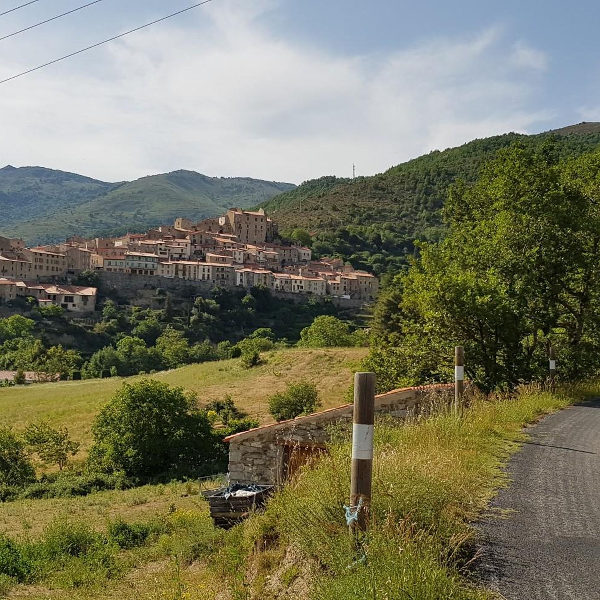
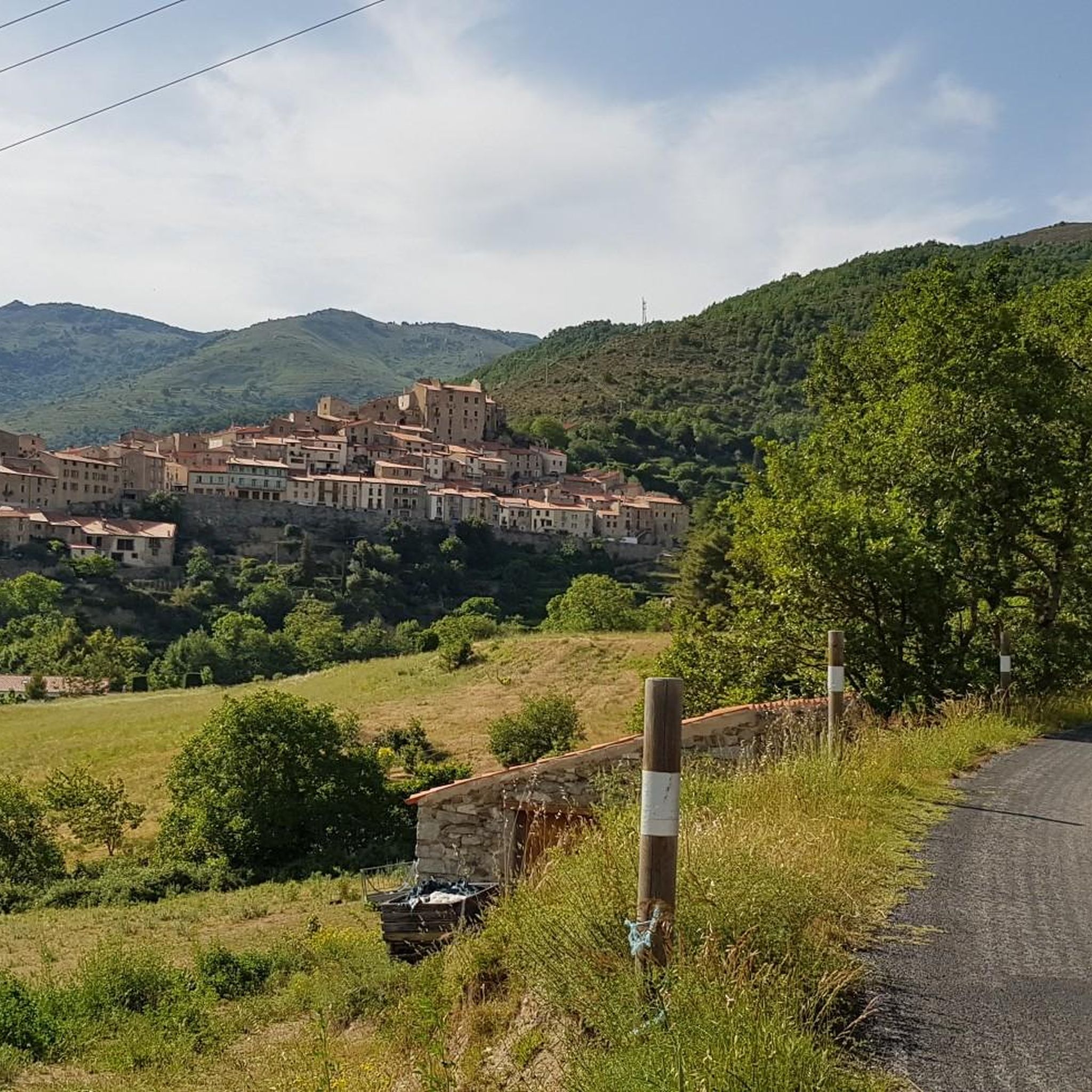

커뮤니티 팁

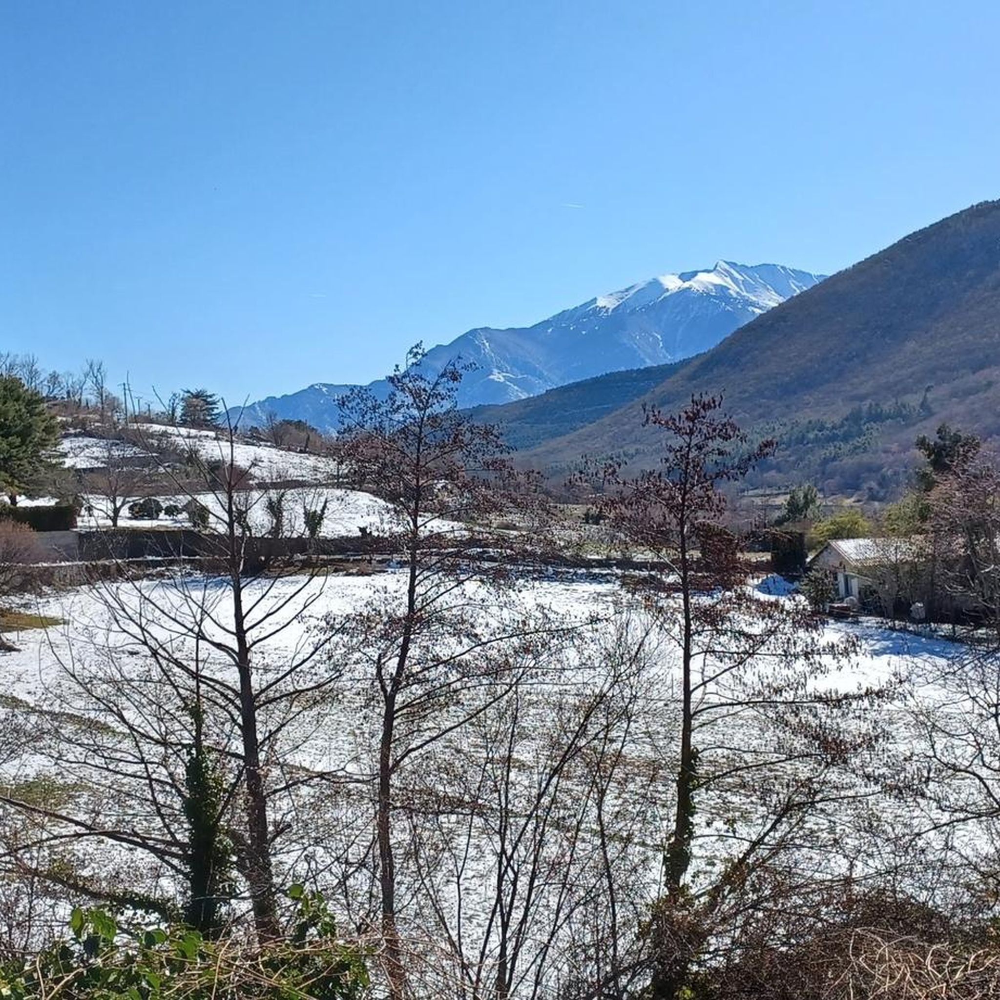
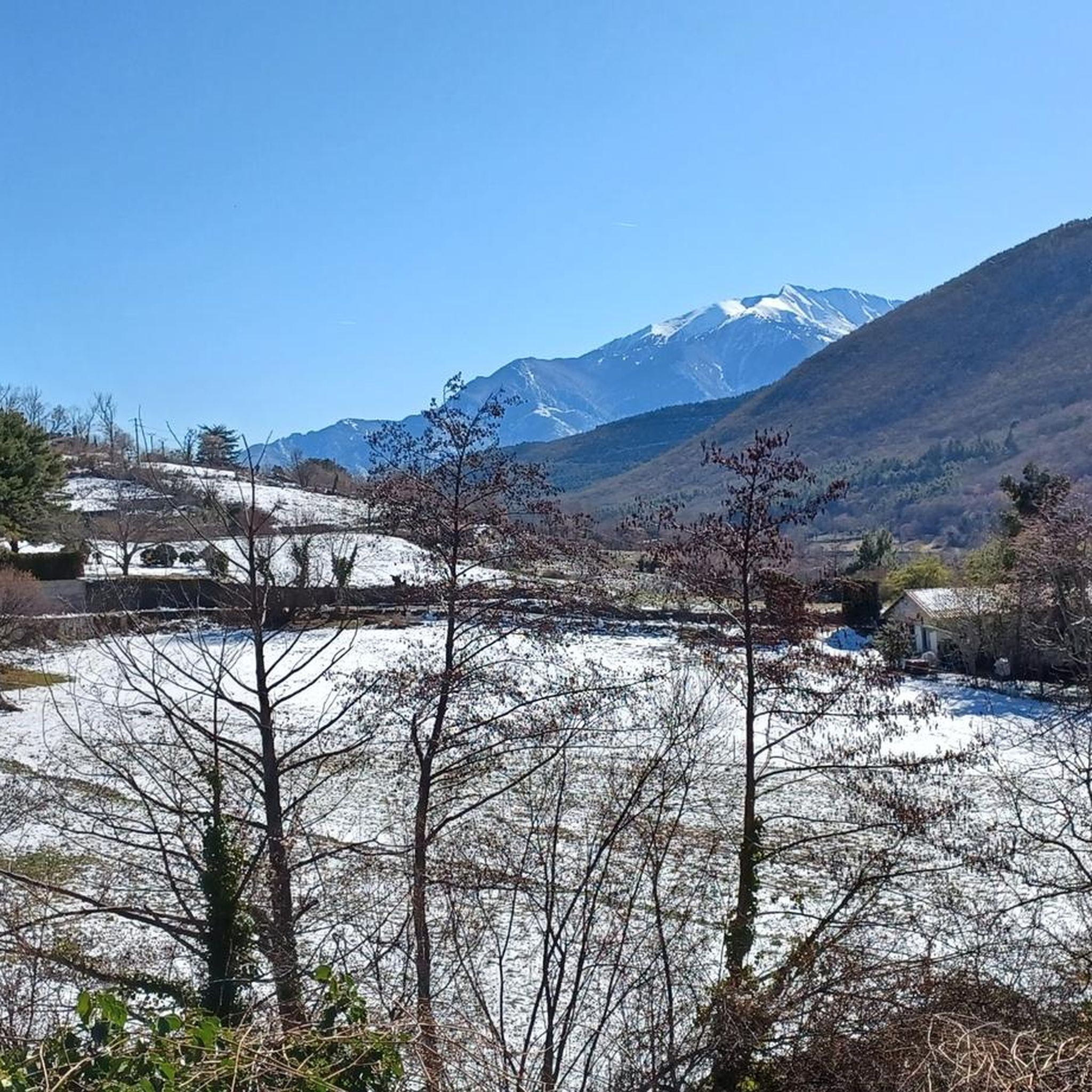
이곳에서 카탈루냐 피레네 산맥의 넓은 파노라마를 즐길 수 있습니다. 왼쪽으로는 Carcanet 생물 보호 구역 방향입니다. 오른쪽과 정면으로는 Madrès 봉우리가 있는 봉우리들 방향이며, 이 지역에서 가장 높은 산입니다.
0
0

The fort was built in 1681 on a rocky spur on the mountainside. It guarded the Têt Valley and, together with the ramparts of Villefranche, formed a formidable defensive complex. It stood 180 meters above the Têt, on the summit of Belloch Mountain, like a king. In peacetime, the fort could accommodate 50 to 100 garrison members.
0
0


The Oller refuge (not guarded) is located halfway up the Pic de Madrès from Odeillo. From this point, you will have privileged views over places such as Puyvalador and its lake, the old station and the Pic de Ginèvre area, the Llissa Cremada, etc. As for the shelter, it is not very big but it is very pleasant and well equipped. It has bunk beds for four people, a stove and firewood, some books, maps...
0
0
The Oller refuge (not guarded) is located halfway up the Pic de Madrès from Odeillo. From this point, you will have privileged views over places such as Puyvalador and its lake, the old station and the Pic de Ginèvre area, the Llissa Cremada, etc. As for the shelter, it is not very big but it is very pleasant and well equipped. It has bunk beds for four people, a stove and firewood, some books, maps...
1
0

Away from the tourist race mile, there are sheltered rest areas in Mauerbögem and under shady trees
2
0

The visit is worthwhile. You get a card with explanations in your native language and can read it during the tour. Rooms and figures are lovingly designed.
1
0

We tried to complete the 2h23 and 7.23km tour. The first part to the fort was nice but at the end of the tour, the path is impassable and marked as "Danger. forbidden to the public". There is a ravine and rock falls. This last part is very narrow and dangerous. The hike is also poorly marked. We lose the markings and part of the path is with a private individual so we had to find another path. We do not recommend this tour.
1
0
모셋 주변에서 가장 인기 있는 명소


더 살펴보기
다른 지역의 최고의 러닝 트레일 & 경로를 살펴보세요.
