코낫 최고의 러닝 경로
4.3
(41)
2,076
달리기 하는 사람
156
러닝
코낫에서 하이킹하며 프라데 구석 부분까지 살펴볼까요? 코낫에 있는 모든 하이킹 및 워킹 경로 컬렉션 중 가장 멋진 하이킹 경로를 엄선하여 소개해드릴게요. 다른 하이커가 공유한 실제 팁과 사진을 살펴보고 후기를 읽으며 마음에 드는 코낫 워킹 경로를 찾아보세요.
마지막 업데이트: 9월 19, 2026
15
달리기 하는 사람
7.66km
00:53
180m
180m
보통 조깅. 좋은 체력 필요. 대부분 포장된 지면. 실력과 관계없이 누구나 갈 수 있음.
7
달리기 하는 사람
12.4km
01:23
200m
200m
보통 조깅. 좋은 체력 필요. 대부분 포장된 지면. 실력과 관계없이 누구나 갈 수 있음.

5
달리기 하는 사람
어려운 조깅. 우수한 체력 필요. 대부분 포장된 지면. 실력과 관계없이 누구나 갈 수 있음.
3
달리기 하는 사람
23.4km
03:40
1,230m
1,230m
어려운 조깅. 우수한 체력 필요. 튼튼한 신발을 신고 미끄러지지 않게 조심해야 하며, 높은 산을 오른 경험이 있어야 함.
4
달리기 하는 사람
15.3km
02:04
540m
540m
어려운 조깅. 우수한 체력 필요. 대부분 포장된 지면. 실력과 관계없이 누구나 갈 수 있음.
더 다양한 경로와 다른 탐험가들의 추천을 살펴보세요.
이미 komoot 계정이 있나요?
투어 추천은 다른 사람들이 komoot에서 완료한 수천 개의 활동을 바탕으로 구성되어 있습니다.
오늘 무료 계정으로 시작하세요
다음 모험이 기다리고 있어요.
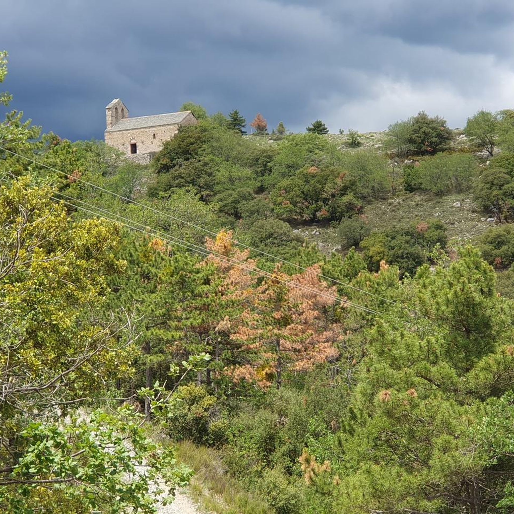
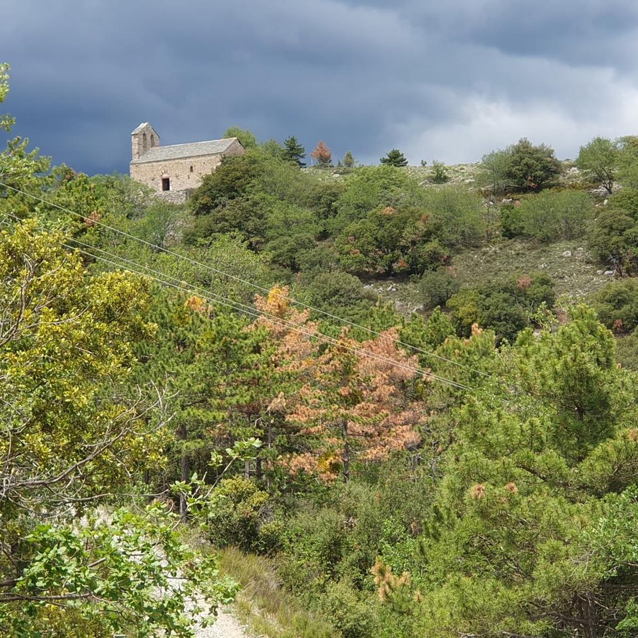

커뮤니티 팁

The fort was built in 1681 on a rocky spur on the mountainside. It guarded the Têt Valley and, together with the ramparts of Villefranche, formed a formidable defensive complex. It stood 180 meters above the Têt, on the summit of Belloch Mountain, like a king. In peacetime, the fort could accommodate 50 to 100 garrison members.
0
0


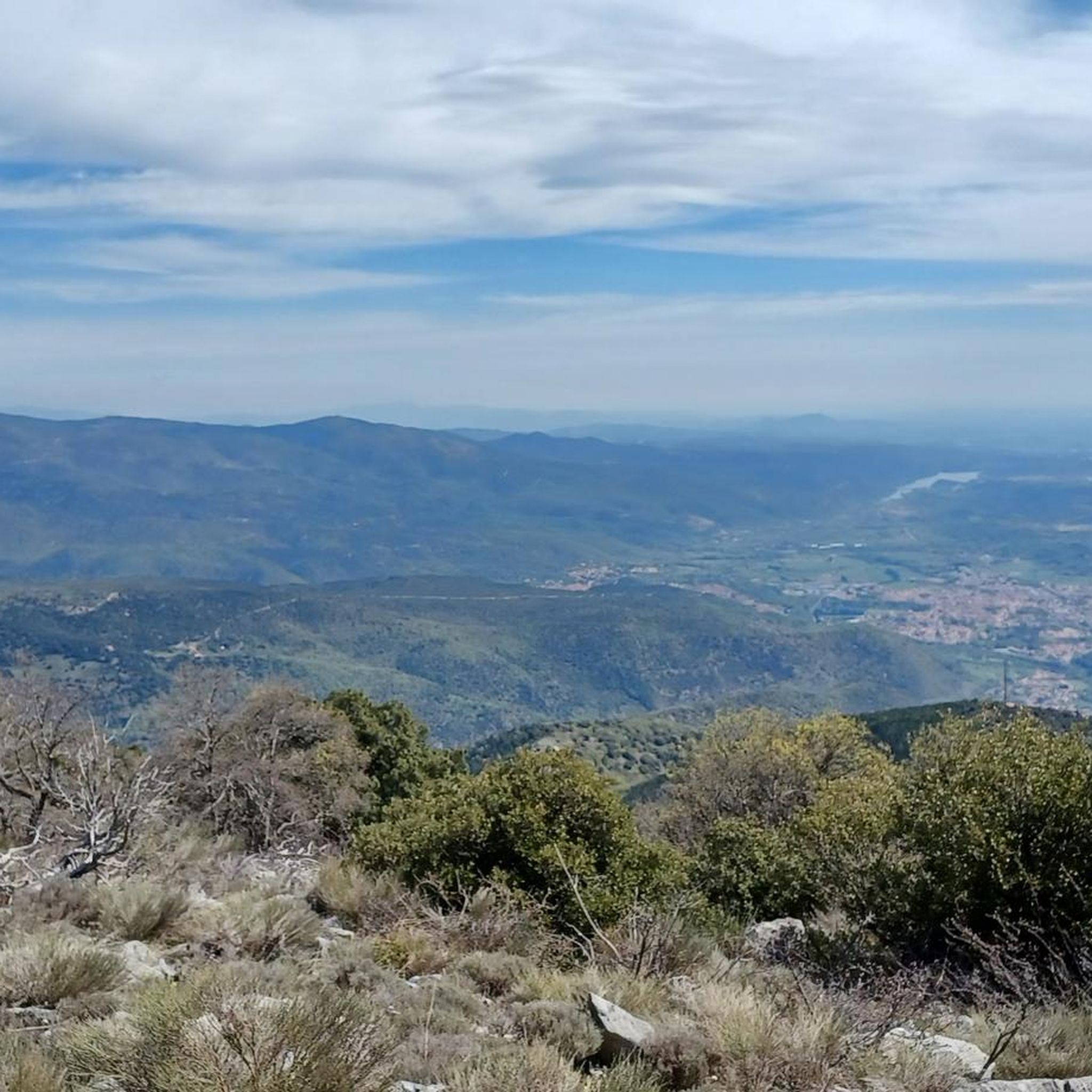
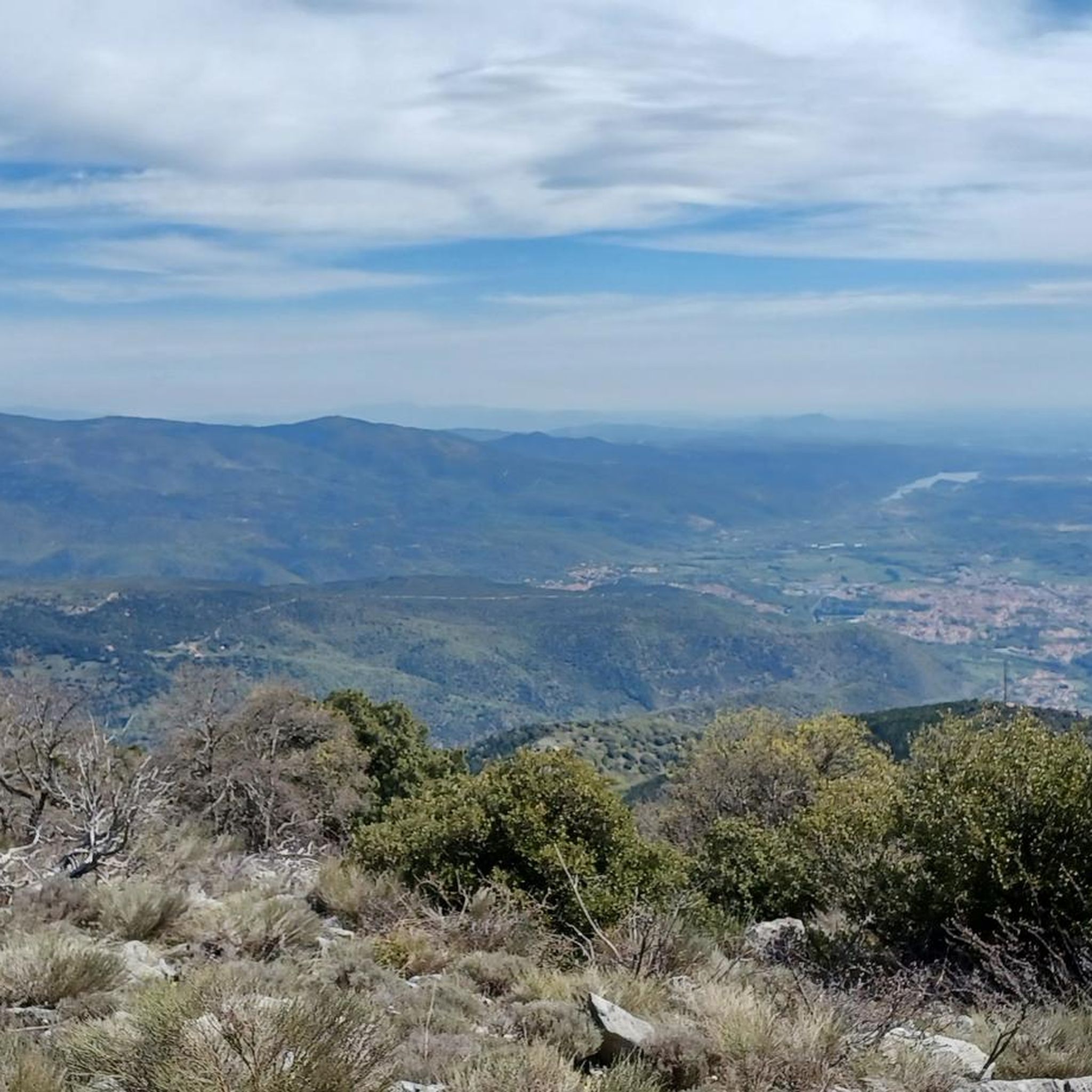
On the heights of Villefranche-de-Conflent and with Fort Liberia in the foreground, you can marvel at the panoramic views with the peaks, valleys and villages stretching out before you.
1
0

Really exhausting upstairs, but the way back is great - be careful, the lower piece is damp even in midsummer and the steps are slippery - safe shoes are therefore doubly mandatory 🩴👠⚠️
1
0
The way back is great - be careful, the last piece is damp even in midsummer and the steps are slippery - safe shoes are therefore doubly obligatory 🩴👠⚠️
1
0
Away from the tourist race mile, there are sheltered rest areas in Mauerbögem and under shady trees
2
0
코낫 주변에서 가장 인기 있는 명소


더 살펴보기
다른 지역의 최고의 러닝 트레일 & 경로를 살펴보세요.
