생소뷔르 최고의 라이딩 경로
4.4
(80)
2,004
자전거 타는 사람
114
라이딩
생소뷔르의 로드 사이클링 경로를 찾으시나요? 그렇다면 생소뷔르 로드 라이딩 컬렉션 중에서 가장 멋진 라이딩 장소를 아래에서 살펴보세요.
마지막 업데이트: 10월 9, 2026
4.7
(3)
126
자전거 타는 사람
65.8km
03:10
920m
920m
어려운 도로 자전거 타기. 우수한 체력 필요. 지면 대부분이 잘 포장되어 있고 라이딩하기 쉬움.
5.0
(2)
48
자전거 타는 사람
32.9km
01:35
440m
440m
보통 도로 자전거 타기. 좋은 체력 필요. 지면 대부분이 잘 포장되어 있고 라이딩하기 쉬움.

41
자전거 타는 사람
22.0km
01:12
320m
320m
보통 도로 자전거 타기. 좋은 체력 필요. 투어 중 라이딩하기 어려운 비포장 구간이 있을 수 있음.
5.0
(3)
40
자전거 타는 사람
36.5km
01:41
260m
260m
초급용 로드 라이딩. 모든 체력 수준에 적합. 지면 대부분이 잘 포장되어 있고 라이딩하기 쉬움.
16
자전거 타는 사람
57.4km
02:42
750m
750m
보통 도로 자전거 타기. 좋은 체력 필요. 지면 대부분이 잘 포장되어 있고 라이딩하기 쉬움.
더 다양한 경로와 다른 탐험가들의 추천을 살펴보세요.
이미 komoot 계정이 있나요?
투어 추천은 다른 사람들이 komoot에서 완료한 수천 개의 활동을 바탕으로 구성되어 있습니다.
오늘 무료 계정으로 시작하세요
다음 모험이 기다리고 있어요.

커뮤니티 팁


Beautiful hiking destination, there is also a cycling route
0
0

Beautiful climb and lovely view at the pass - Altitude 728m Restaurants (inns) at the pass
1
0

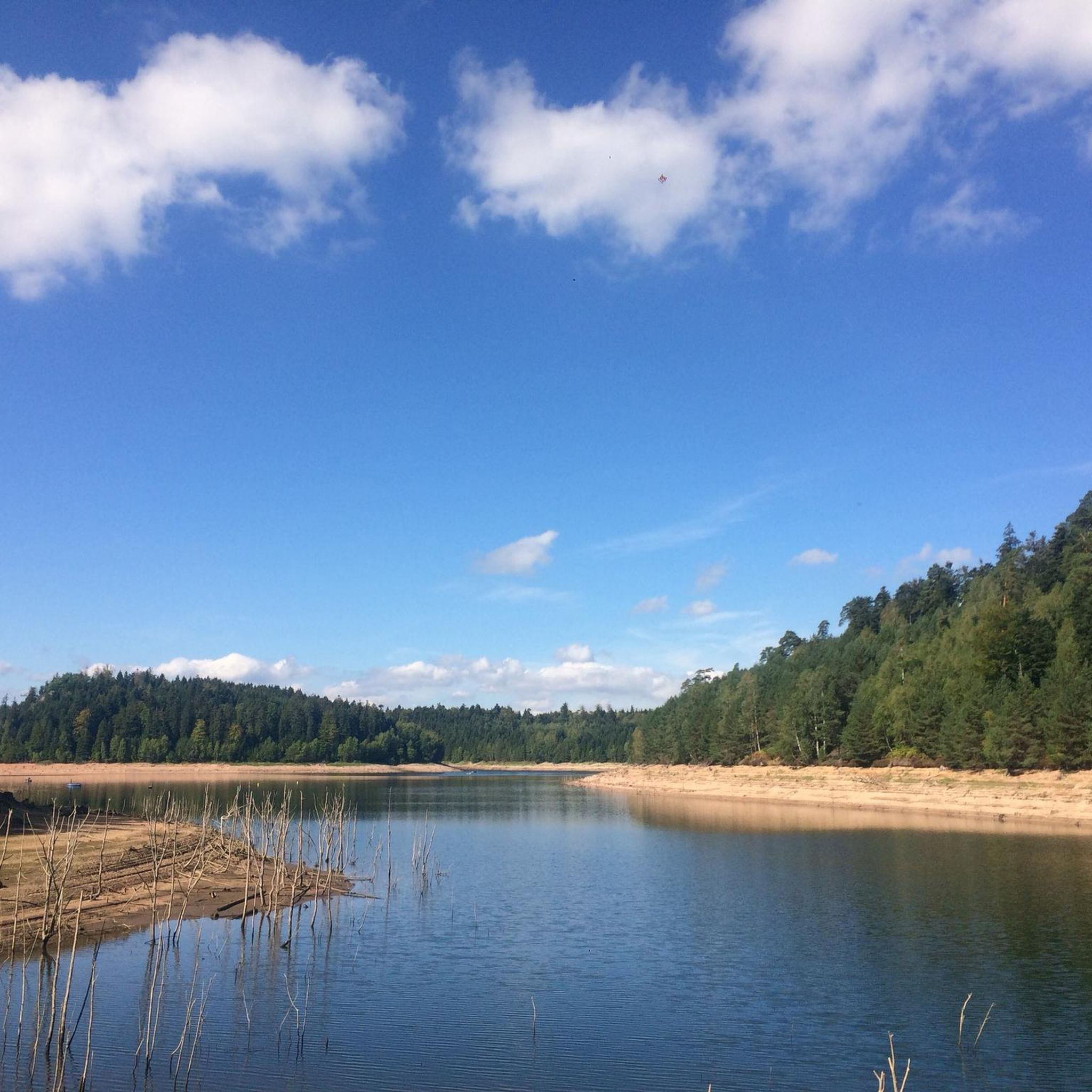
Situated in the heart of the Vosges, this dam, together with Lac de la Plaine, forms an important water reservoir. The dam was built to feed Lac de Pierre-Percée via an underground system. The climb up to it is gradual and rewards you with a view of the peaceful Lac de la Plaine. The road along the lake is ideal for a breather, with little traffic and lots of nature. Perfect for a short break or a photo opportunity during your ride.
9
0
"The giant Monument aux Morts de Badonviller, located next to the Église Saint-Martin, is an impressive memorial commemorating the village's inhabitants who died or went missing during the Great War (1914–1918), the Second World War, and the conflicts in Indochina (1946–1954) and Algeria (1954–1962).
6
0
This impressive dam, located in the Vosges, forms an artificial water reservoir together with the Lac de Pierre-Percée. The dam is 69 metres high and 330 metres long, built with a clay core and lined with volcanic rock. It plays an important role in water management and energy production via an underground water connection with the Lac de la Plaine. The surrounding area offers beautiful views and is ideal for hiking along rocky paths, forests and viewpoints over the lake.
7
0
Pierre-Percée is a small mountain village in the east of the Meurthe-et-Moselle department, on the edge of the Vosges Mountains. With fewer than 100 inhabitants, it is one of the smallest communes in the region. Situated on the edge of the Plaine Valley, the village is built at the foot of the ruins of the medieval Château de Pierre-Percée, which once belonged to the Counts of Salm. The village's name refers to a 33-meter-deep well carved into the rock beneath the castle. During the Thirty Years' War, the village, like the castle, was largely destroyed. In the 20th century, Pierre-Percée regained significance with the construction of the EDF reservoir and the creation of a recreation area, which today attracts tourists for hiking, water sports, and nature experiences.
10
0
생소뷔르 주변에서 가장 인기 있는 명소


더 살펴보기
다른 지역의 최고의 로드 사이클링 경로를 살펴보세요.
