20의 마실리 레 벅시가지 명소 & 주요 장소
마실리 레 벅시에는 둘러볼 만한 장소가 많답니다. 하이킹 또는 사이클링을 좋아한다면 마실리 레 벅시에 숨겨진 20
가지 보석을 만날 수 있을 거예요. 이 지역의 주요 명소를 살펴보면서 다음 모험을 계획해보세요.
마지막 업데이트: 10월 9, 2026
생-장구-르-나시오날
하이라이트 • 정착지
번역자 Google •
팁에 의해

Voie Verte Chalon–Mâcon
하이라이트 (구간) • 자전거 도로
번역자 Google •
팁에 의해

이런 장소를 발견하려면 지금 가입하세요
최고의 싱글 트랙, 봉우리 및 다양한 흥미로운 야외 장소에 대한 추천을 받아보세요.
생드니 드 보 전망대
하이라이트 • 기타
번역자 Google •
팁에 의해


오늘 무료 계정으로 시작하세요
다음 모험이 기다리고 있어요.
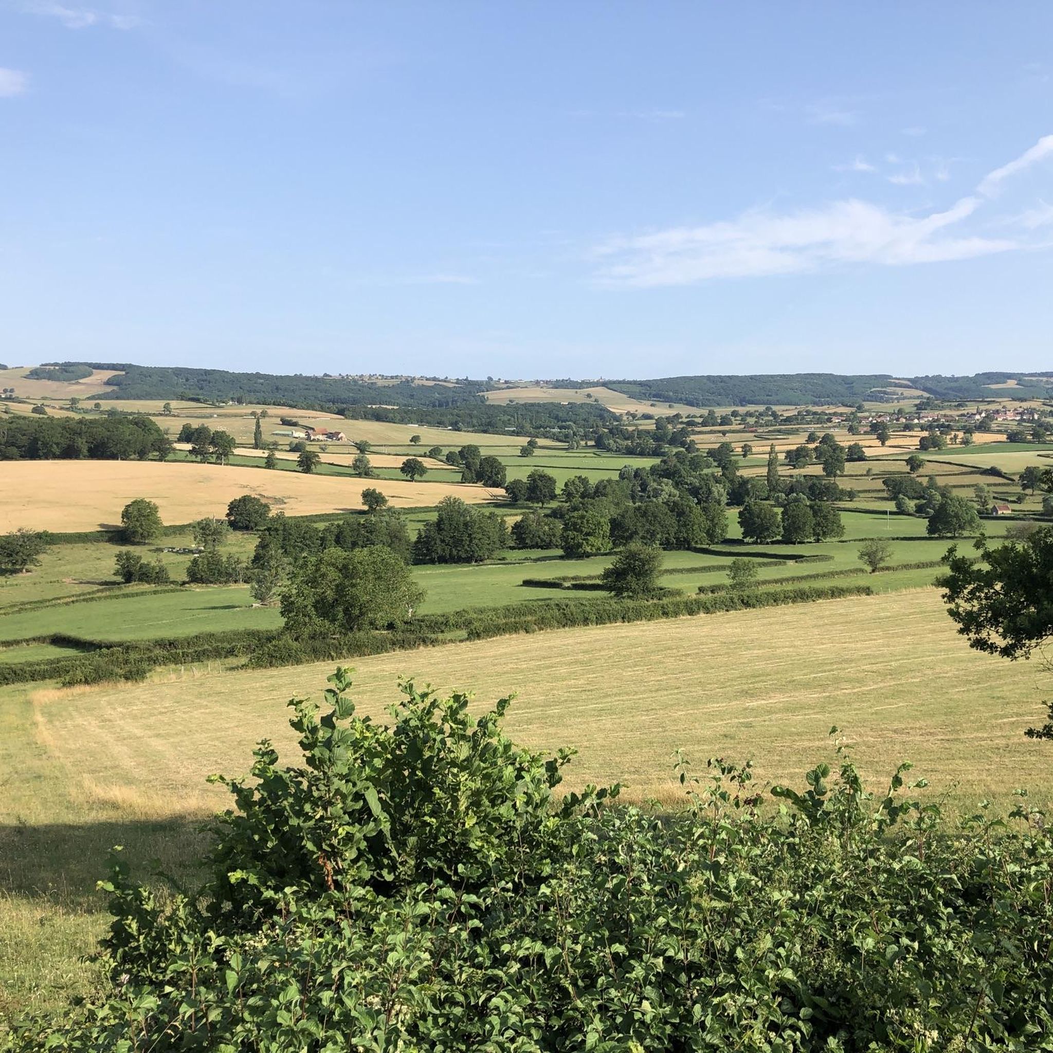
커뮤니티 팁

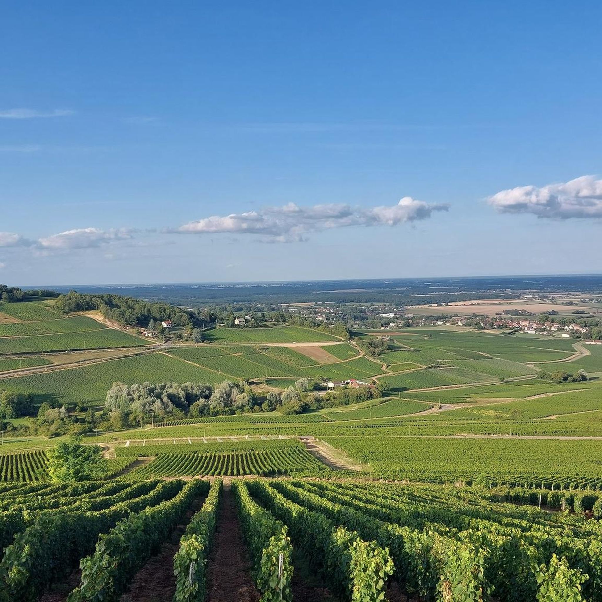
완전히 차량 통행이 없는 „녹색 길”은 샤롱쉬르손(Chalon-sur-Saône)에서 마콩(Mâcon)까지 약 70킬로미터에 걸쳐 이어집니다. 이 길은 그림 같은 포도밭(Côte Chalonnaise) 사이를 구불구불 이어지며, 생장-르-나시오날(Saint-Gengoux-le-National)과 같은 중세 마을, 역사적인 성, 로마네스크 건축물을 지나갑니다. 이 경로를 따라 천년 된 유명한 수도원이 있는 유서 깊은 도시 클뤼니(Cluny)를 지나게 됩니다. 클뤼니 근처에서는 유럽에서 가장 긴 1.6km 길이의 자전거 통행 가능 터널을 통과합니다(박쥐 보호를 위한 겨울철 폐쇄에 유의하십시오). 손 강(Saône)을 따라 평행하게 흐르는 보아 블루(Voie Bleue) 강변 경로와 함께 이 코스를 145km 길이의 멋진 순환 여행(Grande Boucle de Bourgogne du Sud)으로 결합할 수 있습니다.
0
0
크레니지(Crainseny)의 송수로(프랑스어: Viaduc de Crainseny)는 코트 샬로네즈(Côte Chalonnaise) 지역 남부에 있는 역사적인 철도 다리입니다. 이 송수로는 1882년에 건설되었습니다. 총 길이는 246미터이고, 약 23미터 높이에서 계곡을 가로지르며, 400미터 반경의 눈에 띄는 곡선을 이루고 있습니다. 벽돌로 쌓은 이 다리는 각각 12미터의 개방 폭을 가진 16개의 우아한 아치로 구성되어 있습니다. 원래 이 철로는 에티보-몽샤냉(Étienne-Montchanin) 노선이었으며 생-갱굴-르-나시오날(Saint-Gengoux-le-National)과 몽샤냉(Montchanin) 지역을 연결했습니다. 열차 운행은 1969년에 중단되었습니다.
0
0

A very beautiful piece of work, a testament to the local railway era.
1
0

This spot is interesting not only for the view that can be enjoyed. For here, the hiker or walker encounters not just a simple wayside cross, but a complete crucifixion group has been erected in this exposed location: the white body of the crucified Christ stands out clearly against the brown tone of the crossbeams. In front of it, three other figures surround the incarnate Son of God. Both the cross and these figures stand individually on a rocky pedestal, probably made of granite. According to the biblical accounts of the execution of Jesus of Nazareth, the viewer can recognize Mary, the mother of Jesus, and the beloved disciple John, who, according to the gospel text, persevered beneath the cross. Directly opposite the cross is the third figure, depicted kneeling.
2
0

Superb little town, all shops and services.
2
0

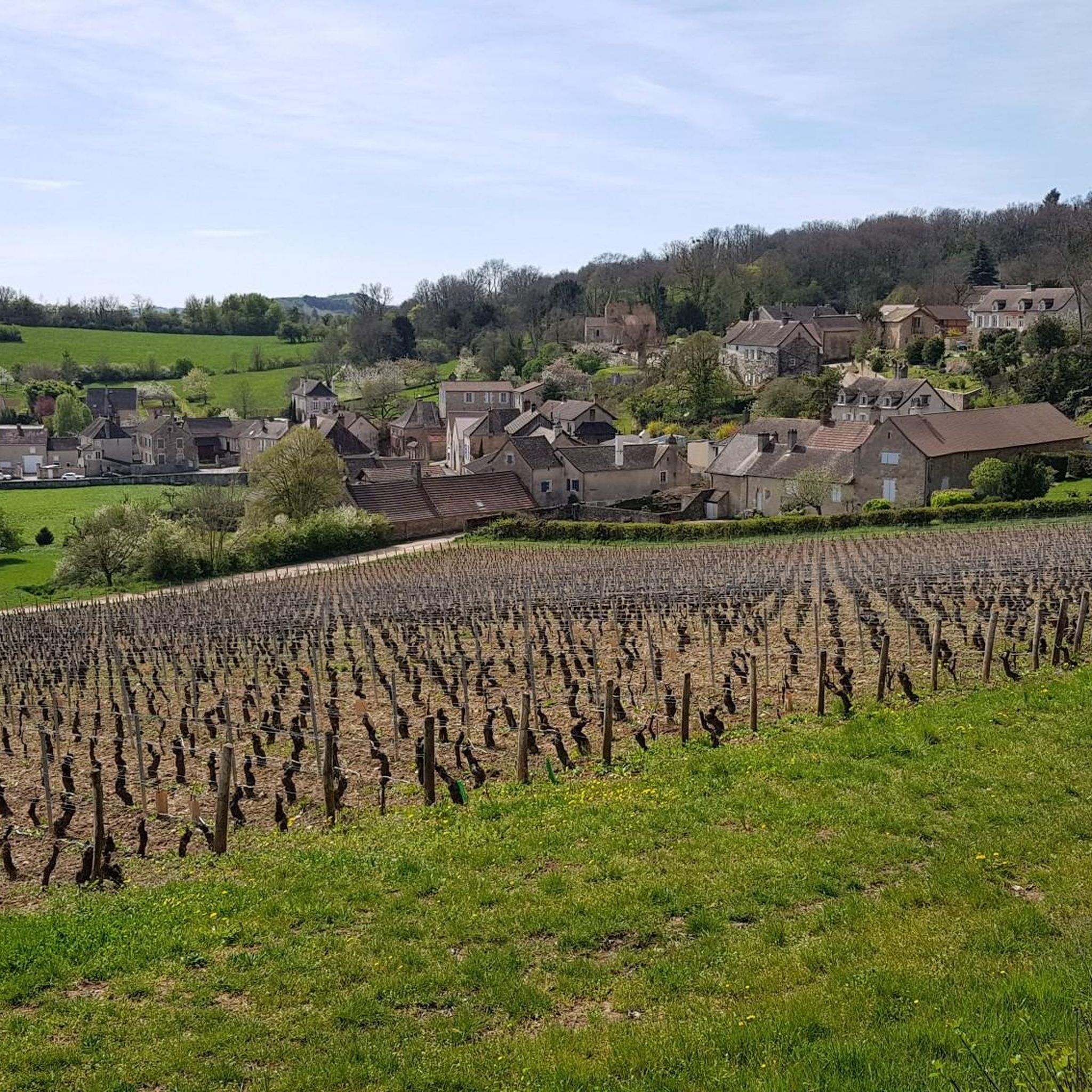
Saint-Gengoux-le-National owes its medieval town to the dual supervision exercised by the Abbey of Cluny and by King Louis VII from the 12th century. Walking through the streets of this city is a real pleasure, it has managed to preserve its urban, architectural and landscape heritage.
3
0

Very beautiful church with a magnificent interior in the middle of a beautiful small medieval village
2
0

The Crainseny viaduct, 246 m long, with a curve radius of 400 m, 16 arches and an opening of 12 m, is undoubtedly the most imposing structure on the South Chalonnaise Coast. The old railway line crossed it and the viaduct linked St-Gengoux to Montchanin crossing the Crainseny valley until 1969. Built in 1882, its height is approximately 23 m.
2
0


더 살펴보기
찾고 있는 하이라이트를 아직 못 찾으셨나요? 다른 지역의 주요 명소 가이드를 확인해보세요:
