물랭 최고의 라이딩 경로
4.4
(19)
655
자전거 타는 사람
95
라이딩
사이클링 주변의 몰랭은 완만하게 구불거리는 언덕과 강 계곡으로 특징지어지는 다양한 풍경을 제공합니다. 이 지역은 알리에 강(Allier River)을 중심으로 하며, 강둑을 따라 그리고 광활한 범람원 초원을 가로지르는 그림 같은 경로를 제공합니다. 사이클리스트는 농경지, 고대 트롱세 숲(Forêt de Tronçais), 보주 부르봉네(Bocage Bourbonnais)의 울타리 밭을 통과할 수 있습니다. 지형은 일반적으로 완만한 경사를 특징으로 하여 다양한 기술 수준에 적합합니다.
몰랭 주변 최고의 사이클링 경로
- 가장 인기 있는 사이클링 경로는 몰랭과 알리에 강둑 – 비버 길을 통한 루프로, 약 1시간 15분이 소요되는 쉬운 12.3마일(19.8km)…
마지막 업데이트: 8월 29, 2026
5.0
(1)
194
자전거 타는 사람
26.5km
01:20
320m
320m
보통 도로 자전거 타기. 좋은 체력 필요. 투어 중 라이딩하기 어려운 비포장 구간이 있을 수 있음.
12
자전거 타는 사람
45.9km
02:17
540m
540m
보통 도로 자전거 타기. 좋은 체력 필요. 지면 대부분이 잘 포장되어 있고 라이딩하기 쉬움.

무료 회원 가입
15
자전거 타는 사람
42.1km
02:07
560m
560m
보통 도로 자전거 타기. 좋은 체력 필요. 투어 중 라이딩하기 어려운 비포장 구간이 있을 수 있음.
9
자전거 타는 사람
61.5km
02:49
590m
590m
보통 도로 자전거 타기. 좋은 체력 필요. 투어 중 라이딩하기 어려운 비포장 구간이 있을 수 있음.
4.8
(4)
14
자전거 타는 사람
54.1km
02:14
320m
320m
보통 도로 자전거 타기. 좋은 체력 필요. 지면 대부분이 잘 포장되어 있고 라이딩하기 쉬움.
더 다양한 경로와 다른 탐험가들의 추천을 살펴보세요.
무료 회원 가입
이미 komoot 계정이 있나요?
투어 추천은 다른 사람들이 komoot에서 완료한 수천 개의 활동을 바탕으로 구성되어 있습니다.
오늘 무료 계정으로 시작하세요
다음 모험이 기다리고 있어요.
로그인 또는 가입하기
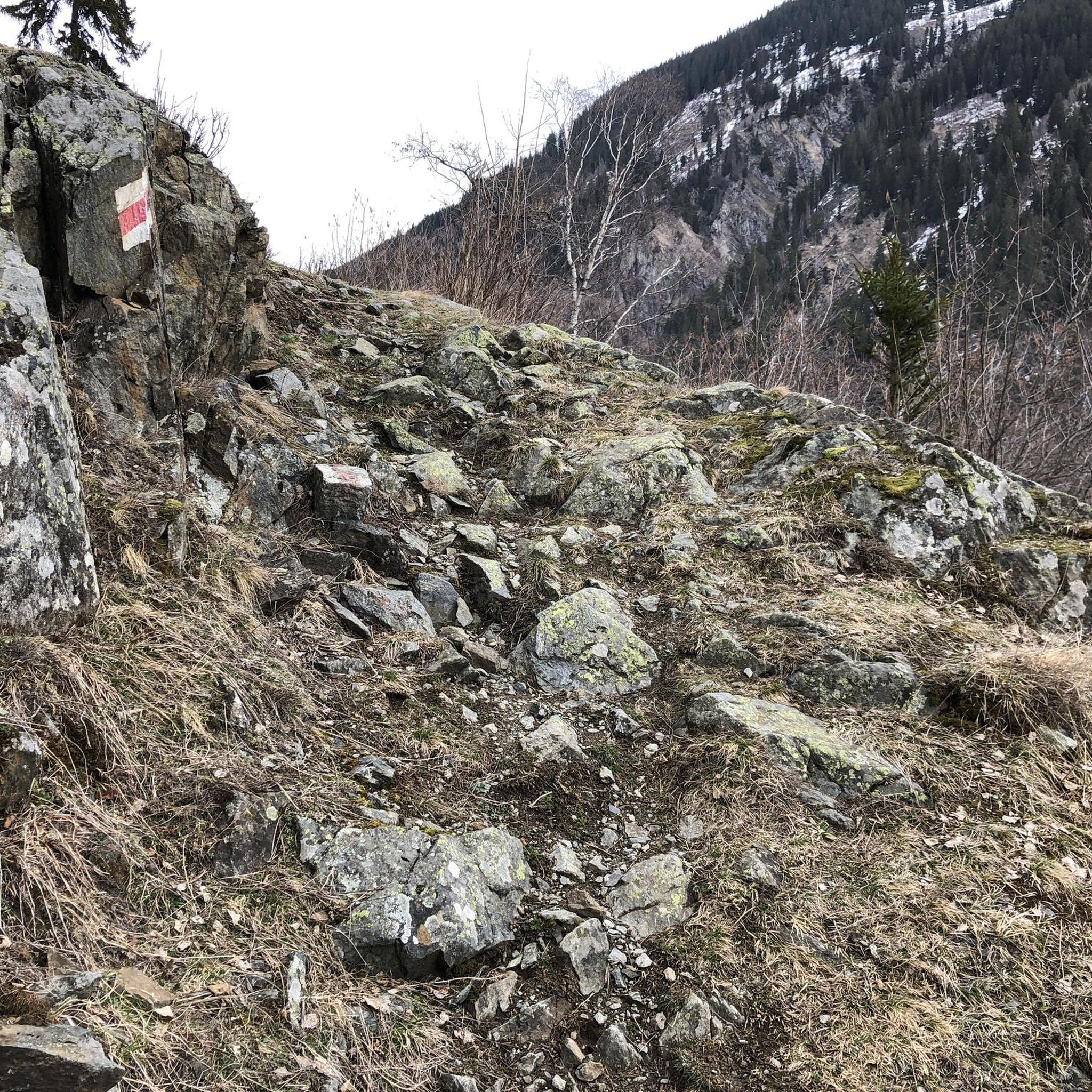
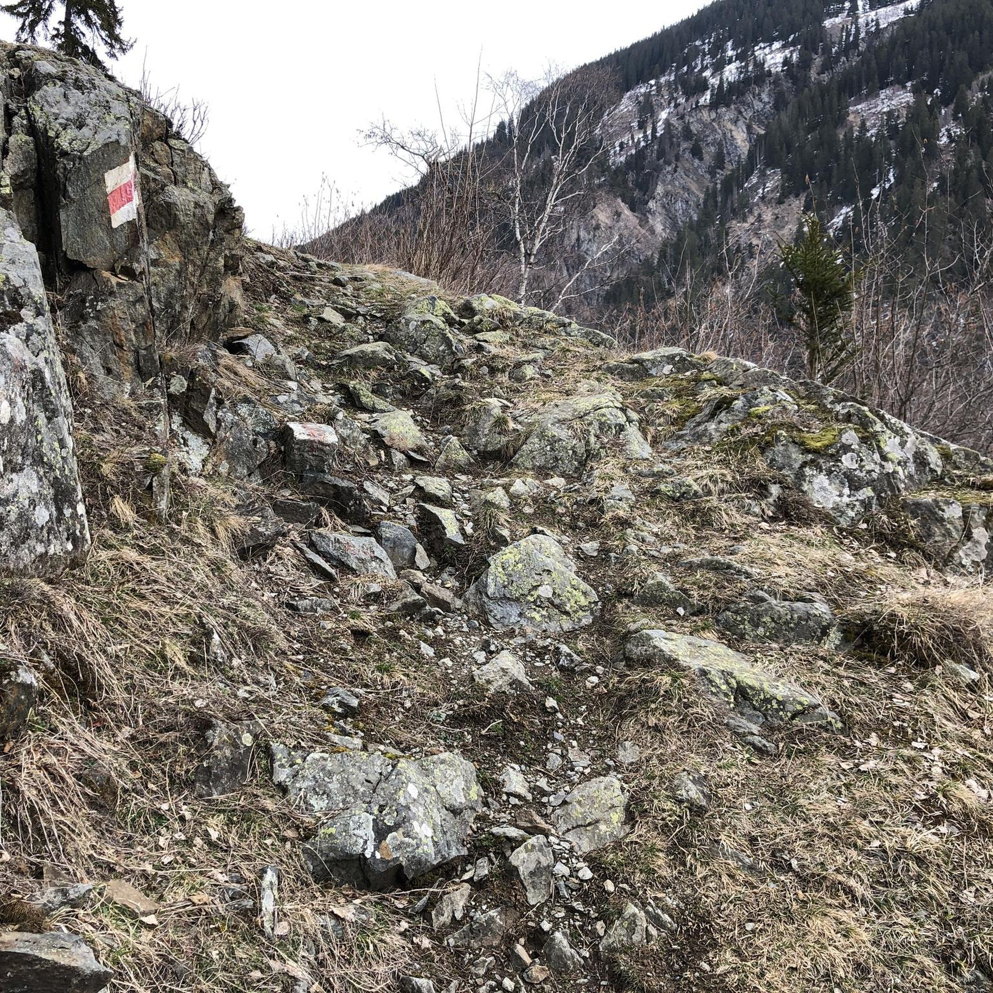
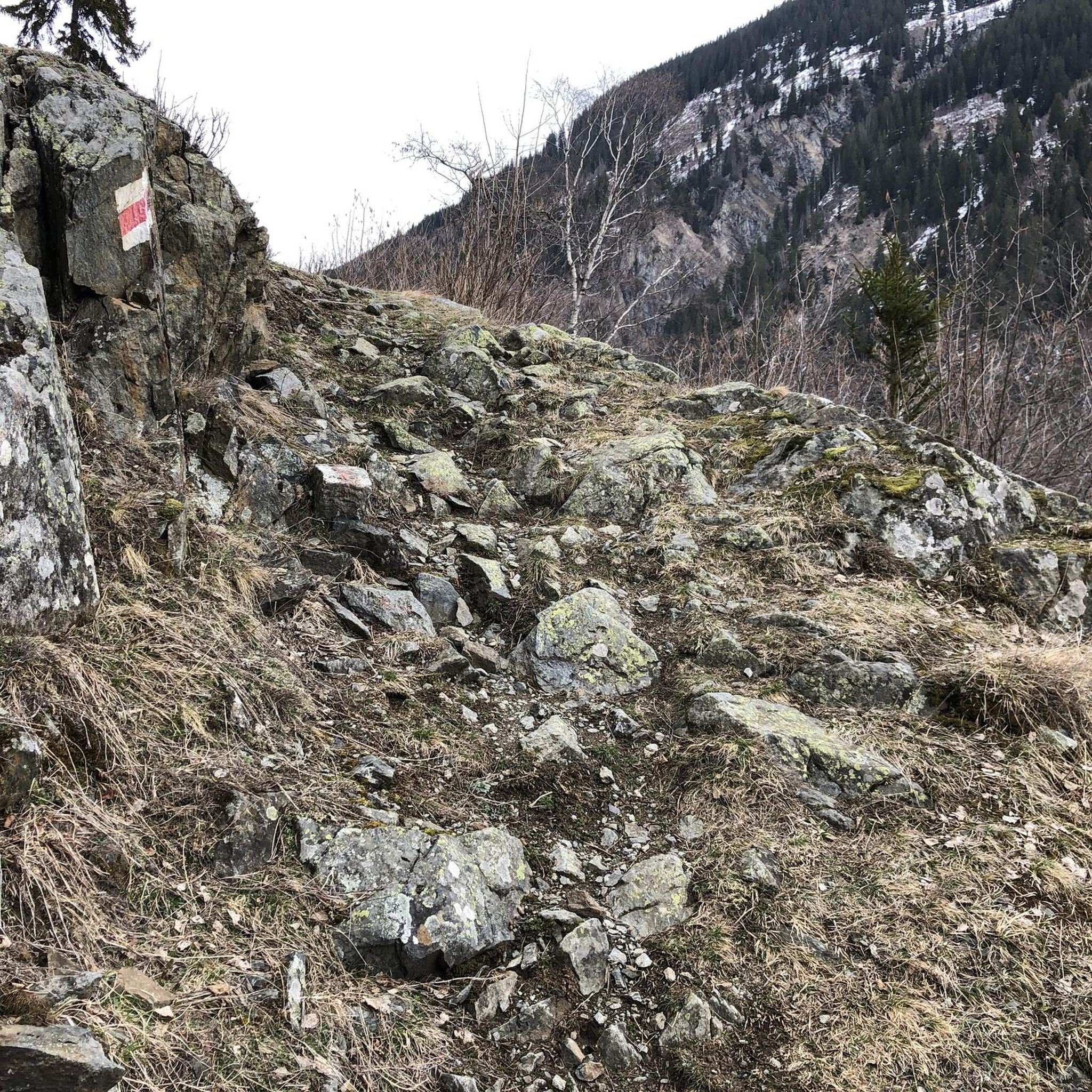

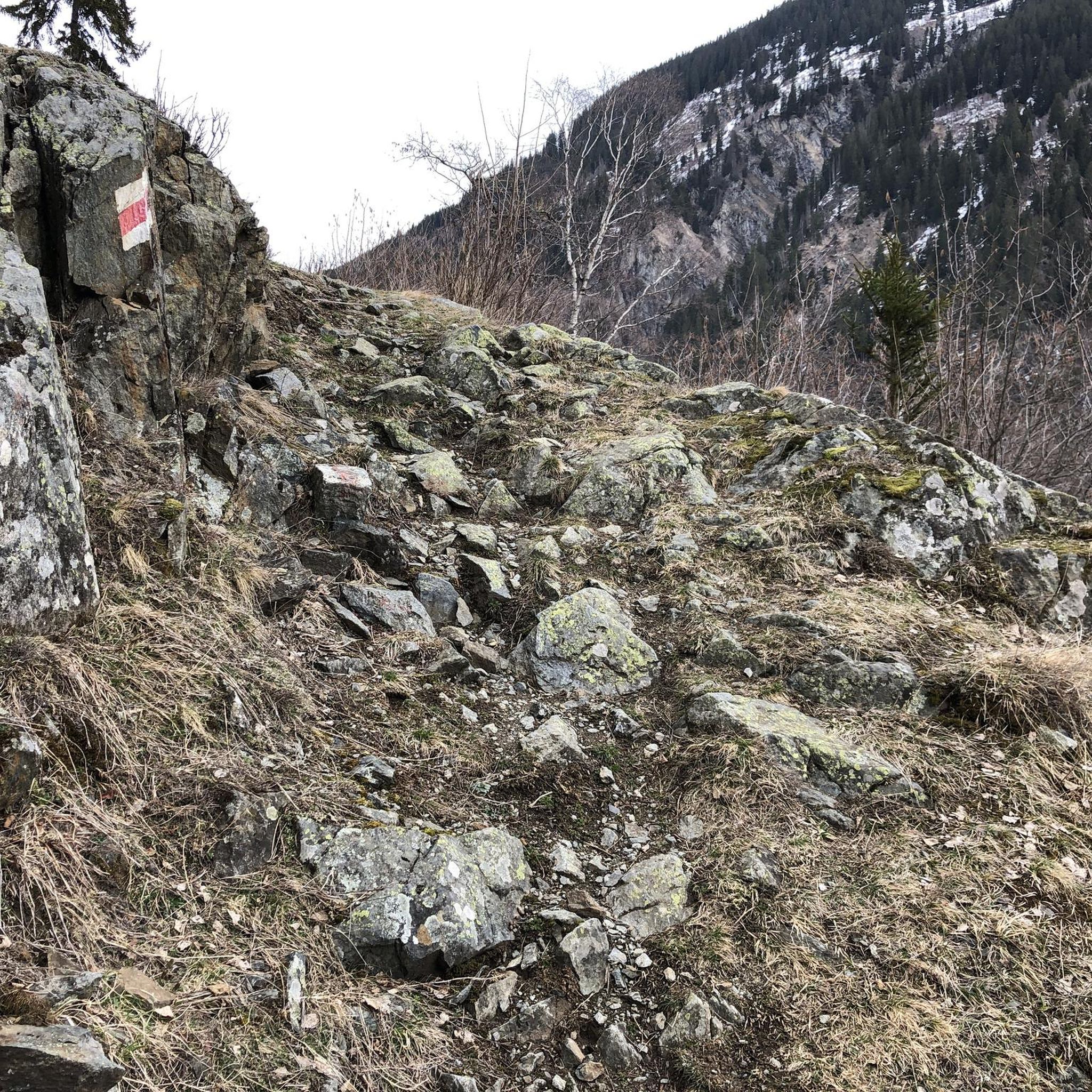
커뮤니티 팁

1914년, 농촌 마을 Ailles는 약 340헥타르에 걸쳐 있었으며, 그중 1/3은 숲이었습니다. 61채의 집이 Saint-Martin 교회 주변에 모여 있었습니다. 인구는 감소했습니다. 1901년 인구 조사에서는 147명이었지만, 1911년에는 118명에 불과했습니다. Craonne 전투를 기념하기 위해 1814년 3월 7일에 멋진 느릅나무가 심어졌습니다. 1세기 후, 프랑스와 독일의 포탄이 마을을 지도에서 지워버렸을 때, 이 나무는 새로운 전장의 증인이 되었습니다...
1
0
숲 한가운데 숨겨져 나타나는 이 시토회 수도원은 1134년 클레르보의 베르나르에 의해 설립되었으며 신기루처럼 보입니다. 그 장엄한 폐허는 격동의 과거를 증언합니다. 백년 전쟁, 프랑스 혁명, 제1차 세계 대전까지 수도원은 상당한 파괴를 겪었습니다. 1960년대에는 덤불에 뒤덮여 잊혀졌습니다. 코르투아 신부가 이끄는 고고학 발굴 그룹 "소르스" 덕분에 이곳은 부활을 경험했습니다.
1
0


An Art Deco church, particularly representative of the revival of sacred art in the 1920s. A masterpiece among the churches of the Reconstruction period, visitors will be captivated by the frescoes, mosaics, stained-glass windows and superb bell tower supported by angels. Built between 1928 and 1932 under the direction of architect Paul-Albert Müller, the church is both modern and back to basics. The use of reinforced concrete, a material already used by some architects before the war, is combined with early Christian symbols such as the fish or the pelican
0
0

During the First World War, Cerny-en-Laonnois was a strategic point along the Chemin des Dames, a ridge fiercely contested by French and German troops. In September 1914, the village was taken by the Germans, who used it as a defensive post. They dug deep underground networks in the limestone, which served as shelters and munitions stores. In the spring of 1917, the area became the scene of the Nivelle Offensive, a large-scale French attack that resulted in heavy losses and eventually led to mutinies within the French army. Cerny-en-Laonnois was completely destroyed by artillery fire and fighting. After the war, the village was rebuilt a little further south. Today, the military cemeteries, the memorial chapel and the “Lanterne des Morts” bear witness to the immense human suffering that took place here.
6
0

A remarkable remnant of what was once a large and important abbey. Caesar, Napoleon and German troops are said to have passed through this area during the First World War.
3
0

Very few trains per day but by anticipating the time of the journey it is playable
0
0
물랭 주변에서 가장 인기 있는 명소


더 살펴보기
다른 지역의 최고의 로드 사이클링 경로를 살펴보세요.
