베렌슈타인 최고의 등산 경로
4.3
(3)
22
등산객
6
하이킹
베렌슈타인에서 하이킹하며 에르츠게비르그스크라이스 구석 부분까지 살펴볼까요? 베렌슈타인에 있는 모든 하이킹 및 워킹 경로 컬렉션 중 가장 멋진 하이킹 경로를 엄선하여 소개해드릴게요. 다른 하이커가 공유한 실제 팁과 사진을 살펴보고 후기를 읽으며 마음에 드는 베렌슈타인 워킹 경로를 찾아보세요.
마지막 업데이트: 10월 11, 2026
5.0
(1)
9
등산객
10.1km
03:48
630m
630m
보통 등산 코스. 좋은 체력 필요. 대부분 갈 수 있는 길. 미끄러지지 않게 조심해야 함.
14.6km
04:42
560m
570m
보통 등산 코스. 좋은 체력 필요. 대부분 갈 수 있는 길. 미끄러지지 않게 조심해야 함.

5.0
(1)
1
등산객
15.2km
04:33
460m
460m
보통 등산 코스. 좋은 체력 필요. 실력과 관계없이 누구나 쉽게 갈 수 있는 길.
8.62km
02:40
300m
300m
보통 등산 코스. 좋은 체력 필요. 대부분 갈 수 있는 길. 미끄러지지 않게 조심해야 함.
3.0
(1)
6
등산객
12.2km
04:18
720m
720m
보통 등산 코스. 좋은 체력 필요. 실력과 관계없이 누구나 쉽게 갈 수 있는 길.
투어 추천은 다른 사람들이 komoot에서 완료한 수천 개의 활동을 바탕으로 구성되어 있습니다.
오늘 무료 계정으로 시작하세요
다음 모험이 기다리고 있어요.
베렌슈타인 주변 인기 장소



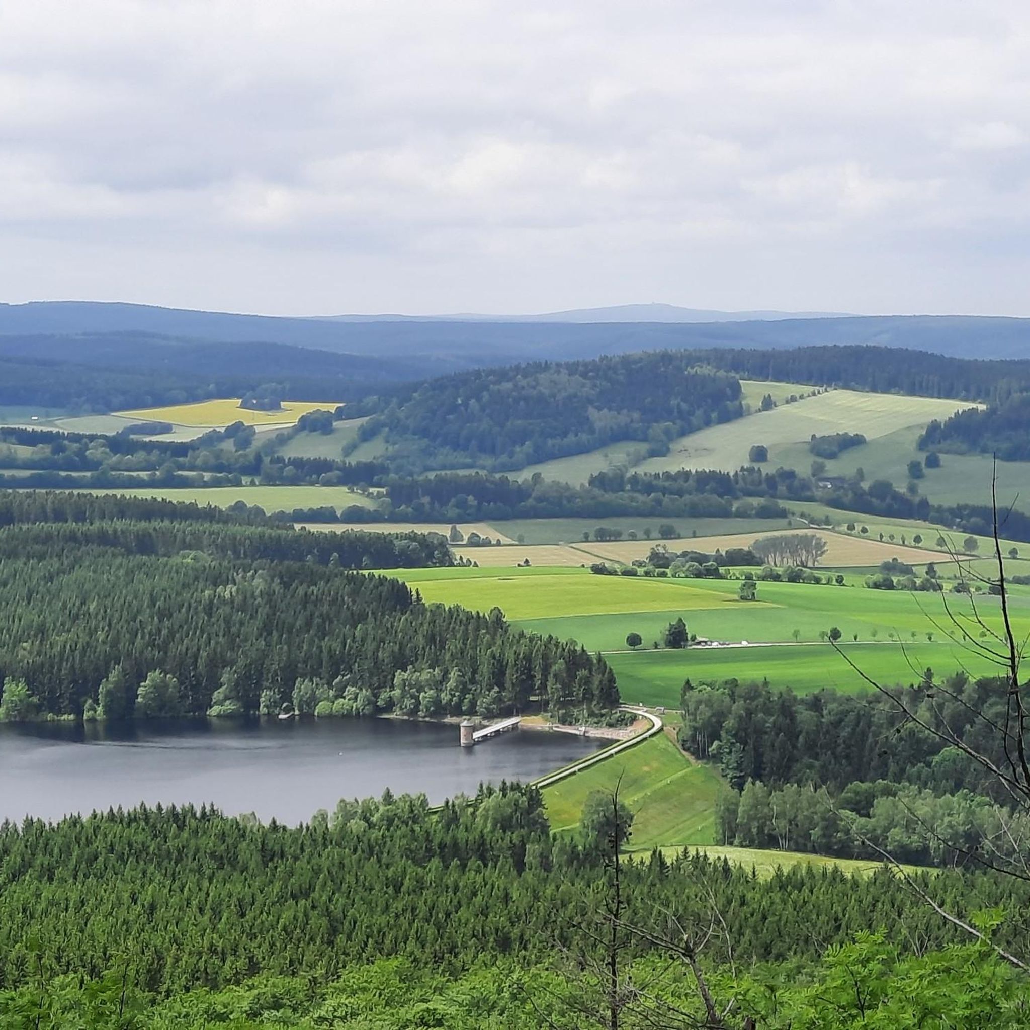
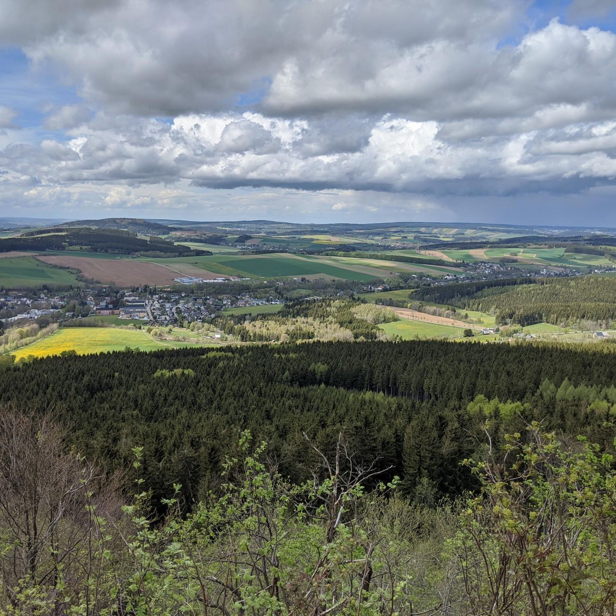
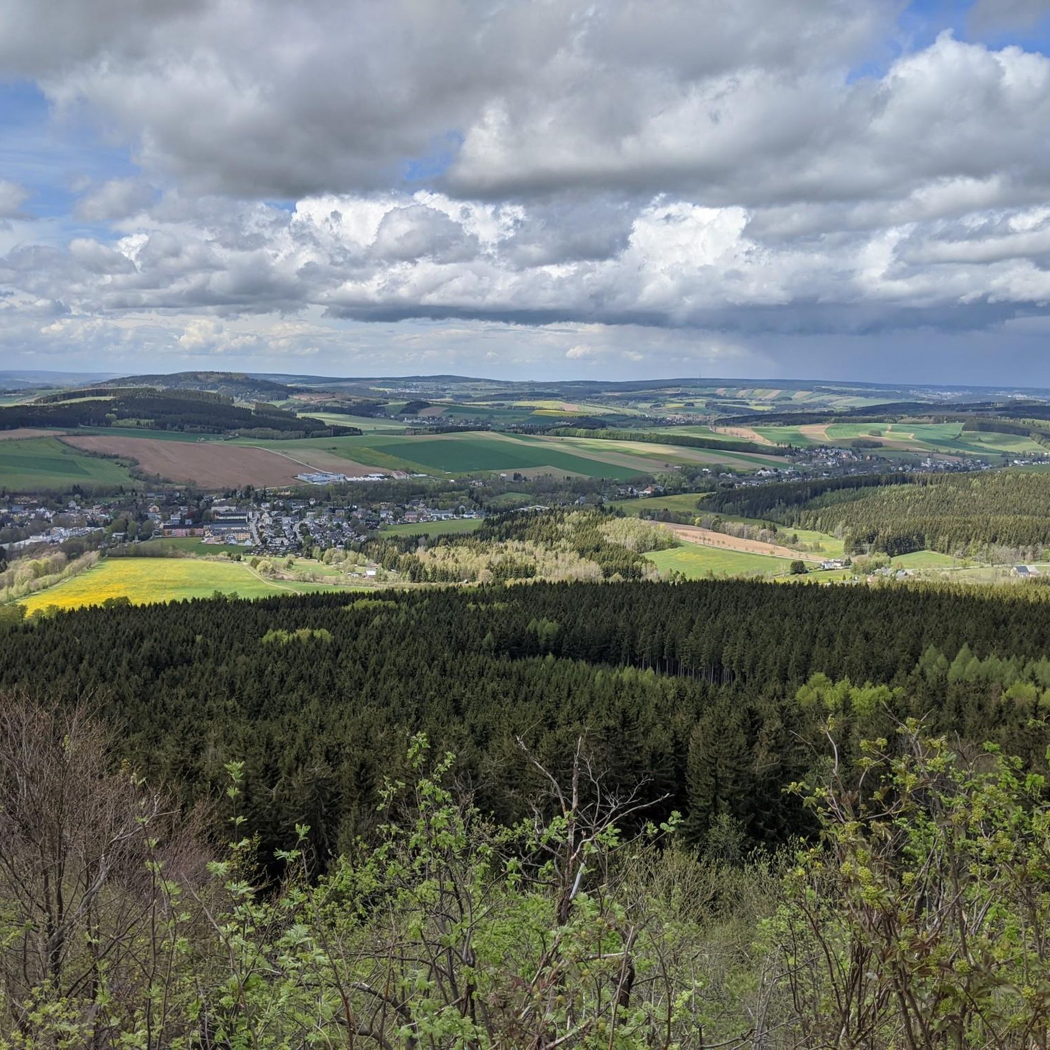
베렌슈타인 주변의 다른 모험


커뮤니티 팁


Gottesgaber Torfmoor 교육용 트레일은 Božídarské rašeliniště 자연 보호 구역의 국제적으로 중요한 습지를 통과합니다. 길의 상당 부분은 나무 널빤지 위로 이어집니다. 이는 방문객의 안전을 위한 것이지만, 무엇보다도 민감한 습지와 희귀한 동식물 종을 보호하기 위함입니다. 길을 따라 12개의 정보판이 습지의 자연, 과거의 이탄 채굴, 지질학, 그리고 전형적인 동식물에 대한 정보를 제공합니다.
1
0


여름과 겨울 모두 아름다운 지역입니다. 도보, 자전거 또는 스키로도 좋습니다.
0
1

The Fichtelberg near Oberwiesenthal in the Erzgebirge district is, at 1214.79 m above sea level, the highest mountain in Saxony. It was also the highest mountain in East Germany (GDR). Together with the nearby Klínovec (Keilberg; 1243.7 m above sea level) on the Czech side, it forms the most important winter sports center in the Erzgebirge. Source and further information: https://de.m.wikipedia.org/wiki/Fichtelberg_(Erzgebirge)
3
0

The Klínovec ski area is the largest ski area in the Ore Mountains. Its highest point is the summit of Klínovec (Keilberg) at 1,244 meters. Skiing has been taking place here since the early 20th century. The first lift was built in the 1960s, and a snowmaking system was added in 1998. In 2005, a triple chairlift was built on the "Dámská" slope on the north face. The ski area offers winter sports enthusiasts two black slopes, four red slopes, five blue slopes, and several connecting slopes.
17
1
This column testifies that the Fichtelberg was one of 158 stations of the "Central European Triangulation" in 1864. During the Royal Saxon Triangulation, the land in Saxony was surveyed between 1862 and 1890, and a trigonometric grid was created at the same time, which was intended to serve as the basis for accurate maps.
16
1
The Traktor Oberwiesenthal sports club's luge track has been out of use for 35 years. Founded in 1955, the club was dissolved in 1990, and its successor, the Oberwiesenthaler SV 1990, saw itself as its successor. The naturally iced luge track, constructed from concrete elements and opened in the winter of 1969/1970 for the GDR luge training center, has been deteriorating since 1990 and is overgrown with vegetation. However, you can still walk the entire 1,100-meter-long track with its 18 curves and admire the buildings that enrich this lost place, such as the scoring booths and observation bridge. At the first Olympic luge competitions in Innsbruck in 1964, SC Traktor athletes dominated the field. Ortrun Enderlein and Ilse Geisler won gold and silver medals in the women's race, and Thomas Köhler and Klaus-Michael Bonsack won silver in the men's race.
17
2
베렌슈타인 주변에서 가장 인기 있는 명소


더 살펴보기
다른 지역의 최고의 산악 하이킹 & 경로를 살펴보세요.
