투르나보 최고의 러닝 경로
4.5
(102)
7,455
달리기 하는 사람
215
러닝
투르나보에서 하이킹하며 샤를빌-메지에르 구석 부분까지 살펴볼까요? 투르나보에 있는 모든 하이킹 및 워킹 경로 컬렉션 중 가장 멋진 하이킹 경로를 엄선하여 소개해드릴게요. 다른 하이커가 공유한 실제 팁과 사진을 살펴보고 후기를 읽으며 마음에 드는 투르나보 워킹 경로를 찾아보세요.
마지막 업데이트: 10월 16, 2026
4.3
(6)
65
달리기 하는 사람
10.6km
01:07
90m
90m
보통 조깅. 좋은 체력 필요. 대부분 포장된 지면. 실력과 관계없이 누구나 갈 수 있음.
32
달리기 하는 사람
10.8km
01:08
90m
90m
보통 조깅. 좋은 체력 필요. 대부분 포장된 지면. 실력과 관계없이 누구나 갈 수 있음.

18
달리기 하는 사람
6.35km
00:40
50m
50m
보통 조깅. 좋은 체력 필요. 대부분 포장된 지면. 실력과 관계없이 누구나 갈 수 있음.
5.0
(1)
15
달리기 하는 사람
5.27km
00:35
40m
40m
보통 조깅. 좋은 체력 필요. 대부분 포장된 지면. 실력과 관계없이 누구나 갈 수 있음.
17
달리기 하는 사람
9.96km
01:02
50m
50m
보통 조깅. 좋은 체력 필요. 대부분 포장된 지면. 실력과 관계없이 누구나 갈 수 있음.
더 다양한 경로와 다른 탐험가들의 추천을 살펴보세요.
이미 komoot 계정이 있나요?
투어 추천은 다른 사람들이 komoot에서 완료한 수천 개의 활동을 바탕으로 구성되어 있습니다.
오늘 무료 계정으로 시작하세요
다음 모험이 기다리고 있어요.
커뮤니티 팁

Unspoiled nature; beautiful grassland next to water. Watch out for mosquitoes in autumn!
0
0

We just completed the hike, which is magnificent. Physical but superb. 14.7 km and 490 km of elevation gain. A little info: The Naux footbridge is closed due to severe corrosion. Probably for quite some time, unfortunately. It's impossible to cross. We must continue to the Thilay bridge.
0
0


The footbridge is closed due to damage to the structure
0
0

Despite its name, it is more of a washhouse set up in a small cave than a fountain. A pleasant stop in the Tournavaux forest.
0
0

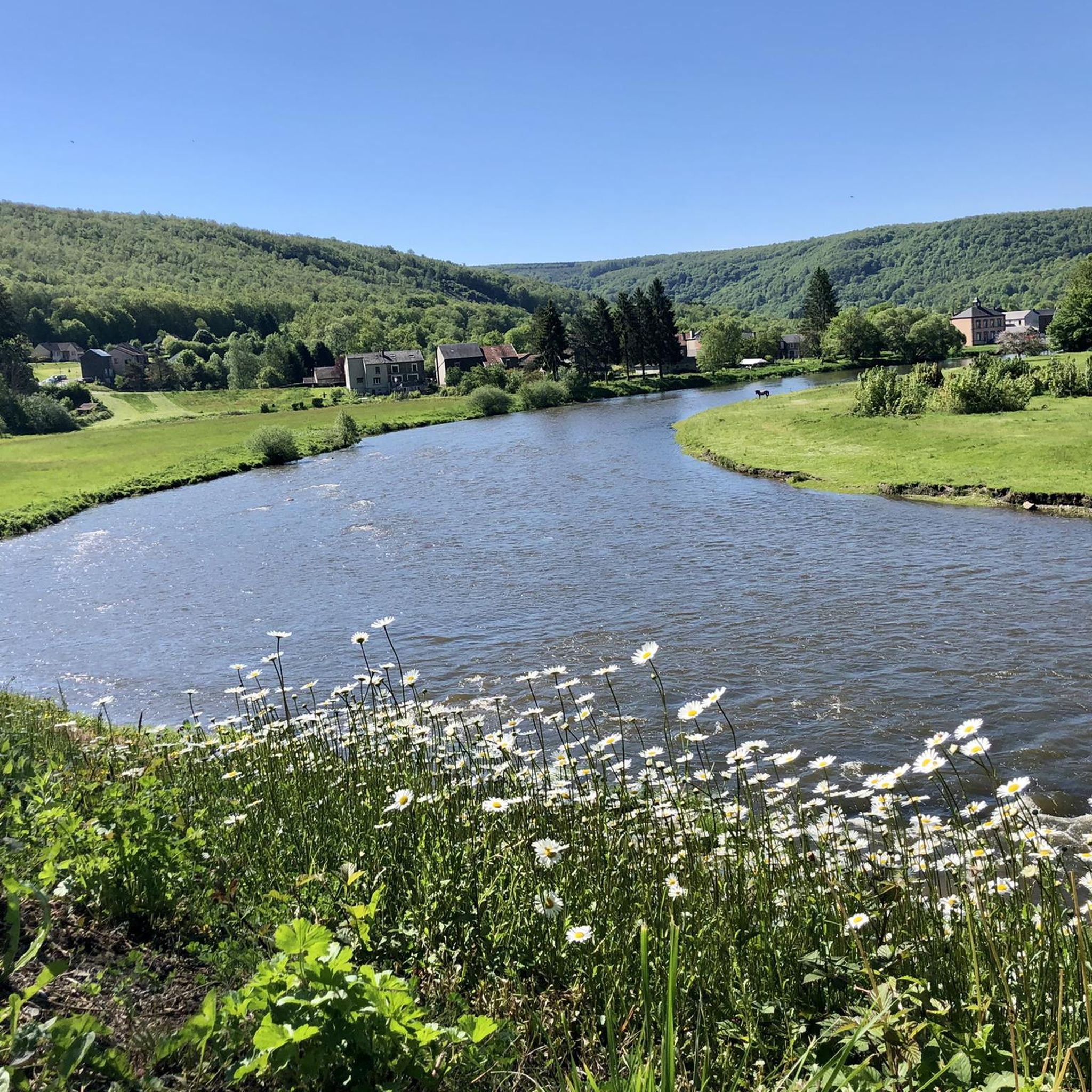
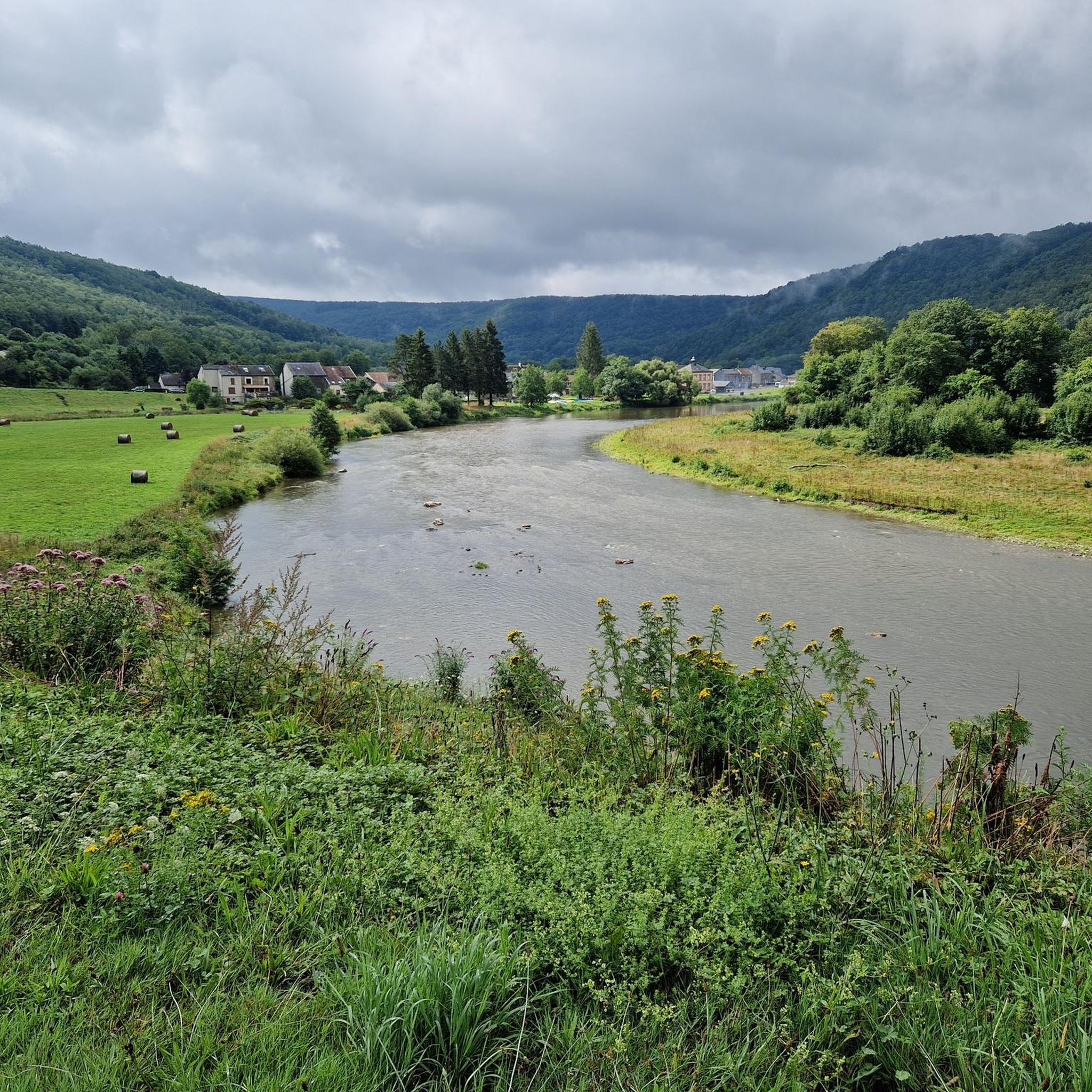
The village of Haulmé, nestled in the green hills of the Ardennes, is a quiet village surrounded by dense forests and rolling meadows. Here you will discover its charming stone houses and narrow, winding streets. As you explore, you will discover the Semois River meandering through the valley, adding to the natural beauty of the area.
2
0


20 km of cycle path between Monthermé and Les Hautes-Rivières on the old P’tit Train de la Semoy route.
0
0
투르나보 주변에서 가장 인기 있는 명소


더 살펴보기
다른 지역의 최고의 러닝 트레일 & 경로를 살펴보세요.
