반타 최고의 워킹 & 하이킹 경로
4.6
(122)
1,957
등산객
97
하이킹
정확한 경로를 찾는 것이 때로는 어렵지만 반타에서 하이킹을 하면 다양한 경치를 마음껏 감상할 수 있답니다. 반타에서 가장 멋진 하이킹과 워킹 중에서 마음에 드는 활동을 시작해보세요.
마지막 업데이트: 8월 27, 2026
4.6
(26)
261
등산객
5.03km
01:22
70m
70m
초급용 하이킹. 모든 체력 수준에 적합. 실력과 관계없이 누구나 쉽게 갈 수 있는 길.
4.9
(7)
109
등산객
3.23km
00:50
20m
20m
초급용 하이킹. 모든 체력 수준에 적합. 실력과 관계없이 누구나 쉽게 갈 수 있는 길.

무료 회원 가입
52
등산객
10.6km
02:42
30m
30m
보통 하이킹. 좋은 체력 필요. 실력과 관계없이 누구나 쉽게 갈 수 있는 길.
39
등산객
5.12km
01:21
40m
40m
초급용 하이킹. 모든 체력 수준에 적합. 실력과 관계없이 누구나 쉽게 갈 수 있는 길.
29
등산객
3.58km
00:54
10m
10m
초급용 하이킹. 모든 체력 수준에 적합. 실력과 관계없이 누구나 쉽게 갈 수 있는 길.
더 다양한 경로와 다른 탐험가들의 추천을 살펴보세요.
무료 회원 가입
이미 komoot 계정이 있나요?
투어 추천은 다른 사람들이 komoot에서 완료한 수천 개의 활동을 바탕으로 구성되어 있습니다.
오늘 무료 계정으로 시작하세요
다음 모험이 기다리고 있어요.
로그인 또는 가입하기



커뮤니티 팁

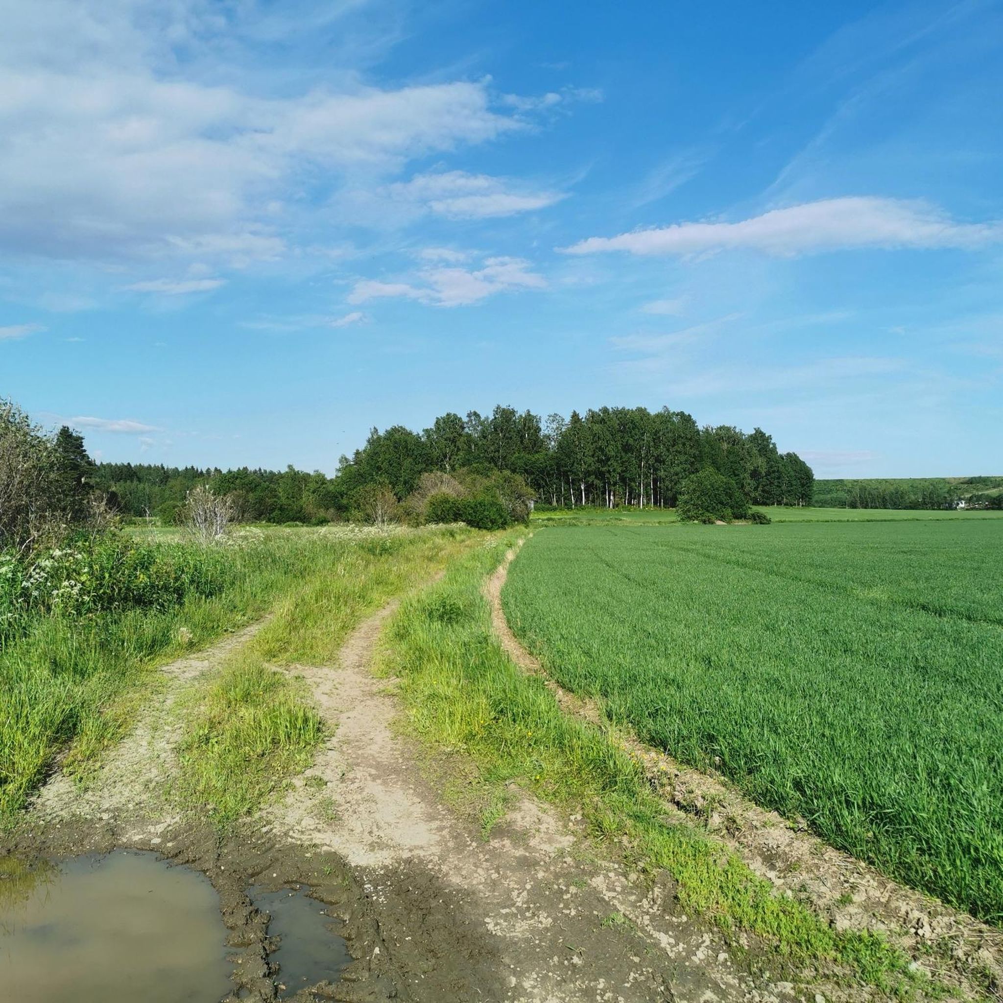
The views up and down the Keravanjoki River here are super beautiful, and this is a great riverside path to hike or cycle on. It is a real serene and tranquil setting and perfect if you are with your family.
0
0

A mountain hut belonging to the Keimolan Kaiku sports club in Vantaa, Finland, which serves as a center for cross-country skiing and other outdoor activities. It is not open to the general public but can be reserved through the club and is part of a cross-country skiing training center.
0
0

Högberget is a particularly panoramic part of the Sipoonkorpi National Park. You can ascend above the trees to its rocky apex and survey the surrounding landscape. The paths here make for great trail runs, with quite a few undulations but nothing too challenging.
0
0

Very nice route walked of about 5 km. (The white/green signs) route goes over rocks and tree stumps and therefore not suitable for someone who is not very mobile. Along the way you will come across a picnic spot. Enjoy this beautiful route!
0
0

Another well-equipped picnic area! Here, you will find a fire pit, shelters, a firewood storage area, a toilet, and several tables.
2
0
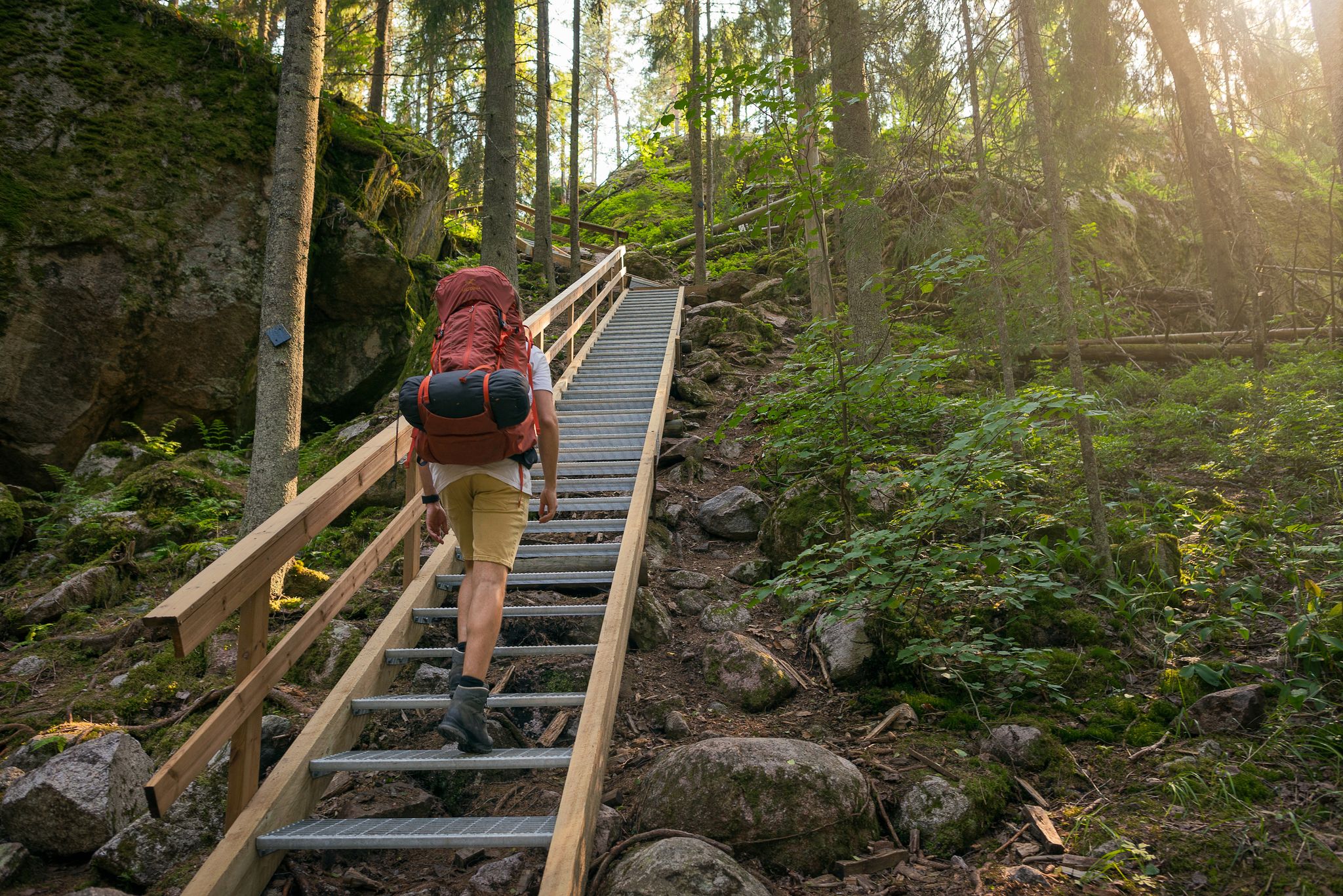
If you are on the Kalkinpolttaja Trail, a wooden staircase will make your journey easier. It will guide you over the round rocks, ensuring a safe ascent or descent, depending on the direction you take on the circular hike.
2
0

Heureka is a science center located in Tikkurila, Vantaa and is a popular destination for families in particular. The building itself is an architectural sight, even if only seen from outside. The outdoor rock gallery in front of Heureka can be freely visited, featuring a variety of nice rock samples from Finland.
0
0

Winding paths with punchy climbs - best direction is counterclockwise to avoid having too many sharp, blind turns right after a descent.
2
0
반타 주변에서 가장 인기 있는 명소


더 살펴보기
다른 지역의 최고의 하이킹를 살펴보세요.
