힐에서 가장 멋진 20개의 호수
힐에서 가장 멋진 호수를 방문하고 싶나요? 호숫가의 고요한 분위기를 느끼거나 날씨가 따뜻한 날 호수에 발을 살짝 담글 수 있다면 얼마나 좋을까요? Komoot 커뮤니티가 추천한 힐의 주요 호수를 아래에서 살펴보고, 다음 모험 때 직접 찾아가보세요!
마지막 업데이트: 10월 17, 2026

Stevol-plas 배수용 디딤돌
하이라이트 • 다리
번역문 보기
팁에 의해

이런 장소를 발견하려면 지금 가입하세요
최고의 싱글 트랙, 봉우리 및 다양한 흥미로운 야외 장소에 대한 추천을 받아보세요.

몰렌플라스와 홈페쉐 물레방앗간
하이라이트 • 호수
번역문 보기
팁에 의해
무료로 가입하여 힐 주변의 더 많은 호수를 발견하세요.
이미 komoot 계정이 있나요?
오늘 무료 계정으로 시작하세요
다음 모험이 기다리고 있어요.


커뮤니티 팁

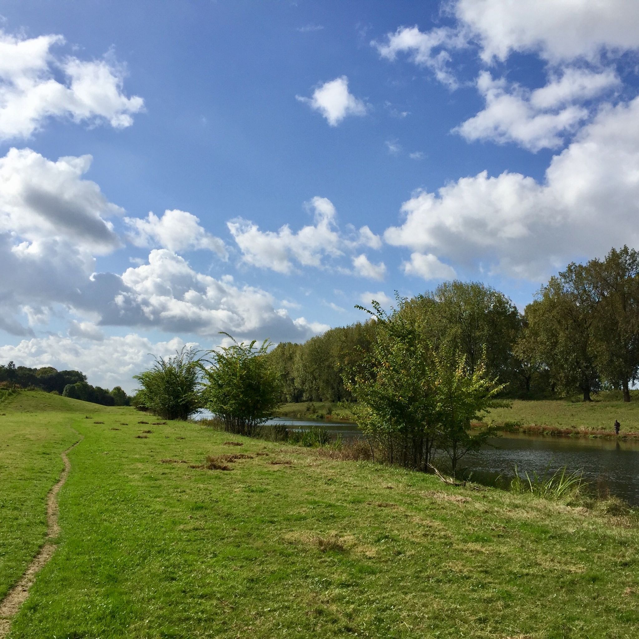
"Trittsteinbrücke"는 물을 가로질러 특별한 통행을 가능하게 하는 큰 돌 블록들로 이루어져 있습니다. 개별적인 디딤돌은 작은 물줄기를 한 걸음씩 건너며 주변 환경을 독특한 관점에서 경험하도록 초대합니다.
16
1
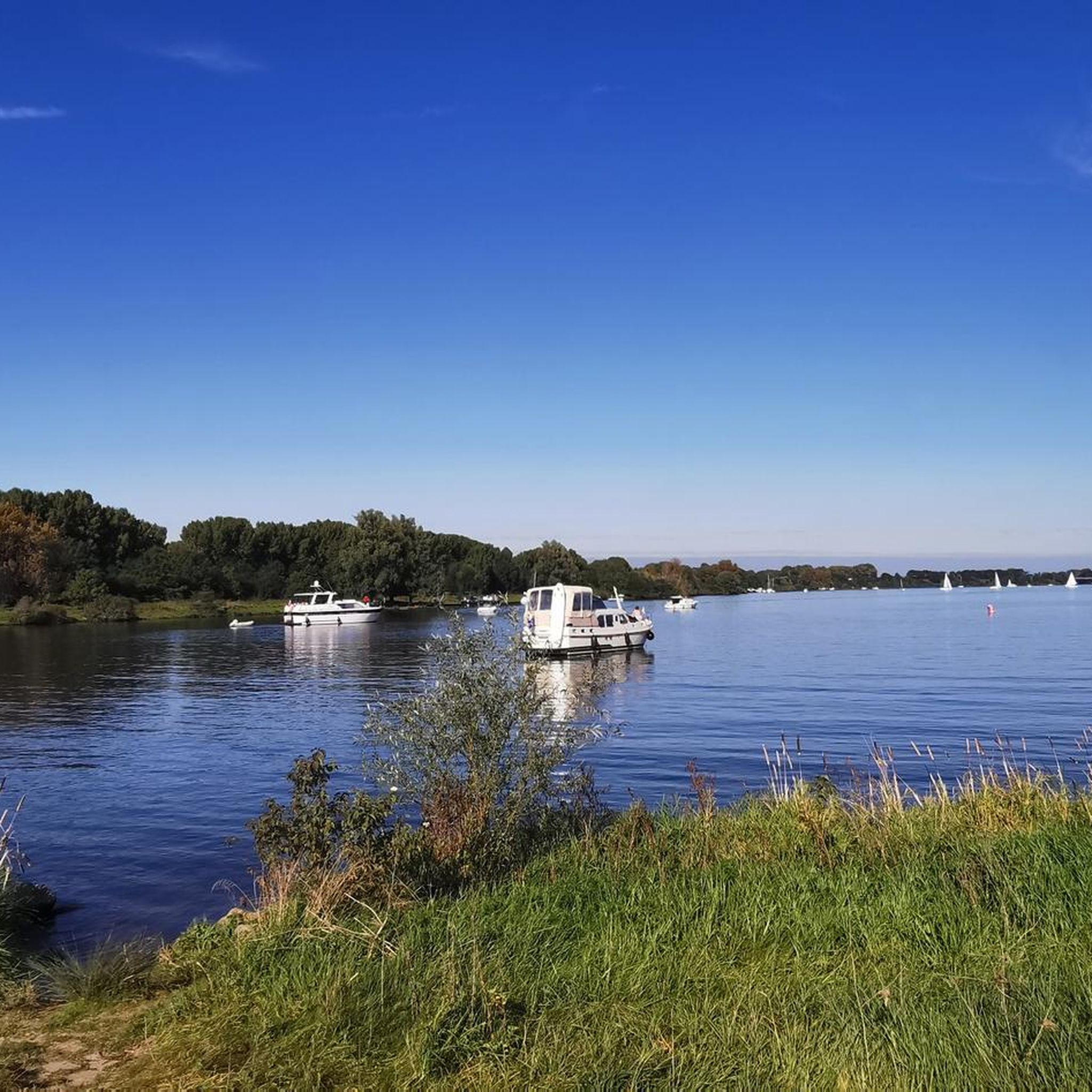
몰렌플라스는 오늘날 목가적인 자연 및 휴양 호수로 사용되는 옛 마스강 팔입니다. 호숫가에서 멀지 않은 곳에 1722년에 림뷔르흐에서 가장 높은 터빈 풍차로 지어진 훔페슈 풍차가 솟아 있습니다. 호수와 풍차는 함께 풍경을 형성하며 이 지역에서 가장 잘 알려진 명소 중 하나입니다.
36
0

The Molenplas premium hiking trail runs around the Mühlensee lake. At just over five kilometers, it's the shortest of the "Wasser.Wander.Welt" premium hiking trails, which are characterized by excellent signage and a wonderful natural experience. I'll show you what awaits you along the way: 👉 https://www.netreisetagebuch.de/premium-wanderweg-molenplas/
4
0

A great hike that I would happily recommend, also because of the many animals along the way.
4
0

This circular hiking trail begins at the Hompe windmill, which has been used as a grain and oil mill since 1722 and leads around the Molenplas (Mill Lake). Two-thousand-year-old trees, salvaged during gravel mining, now stand here as prehistoric monuments. A rich birdlife and plants typical of wetlands offer a very special natural experience. Free-roaming Galloway cattle and a herd of Konik horses graze the area. A dam made of boulders serves as stepping stones between two lakes (there is also a bypass if the water level is too high). Source: https://www.wa-wa-we.eu/de/wanderwege-details/molenplas.html
6
0

The Molenplas (Mill Lake) hiking trail starts at the Hompesche Windmill. 😃👌 https://www.wa-wa-we.eu/de/wanderwege-details/molenplas.html
4
0

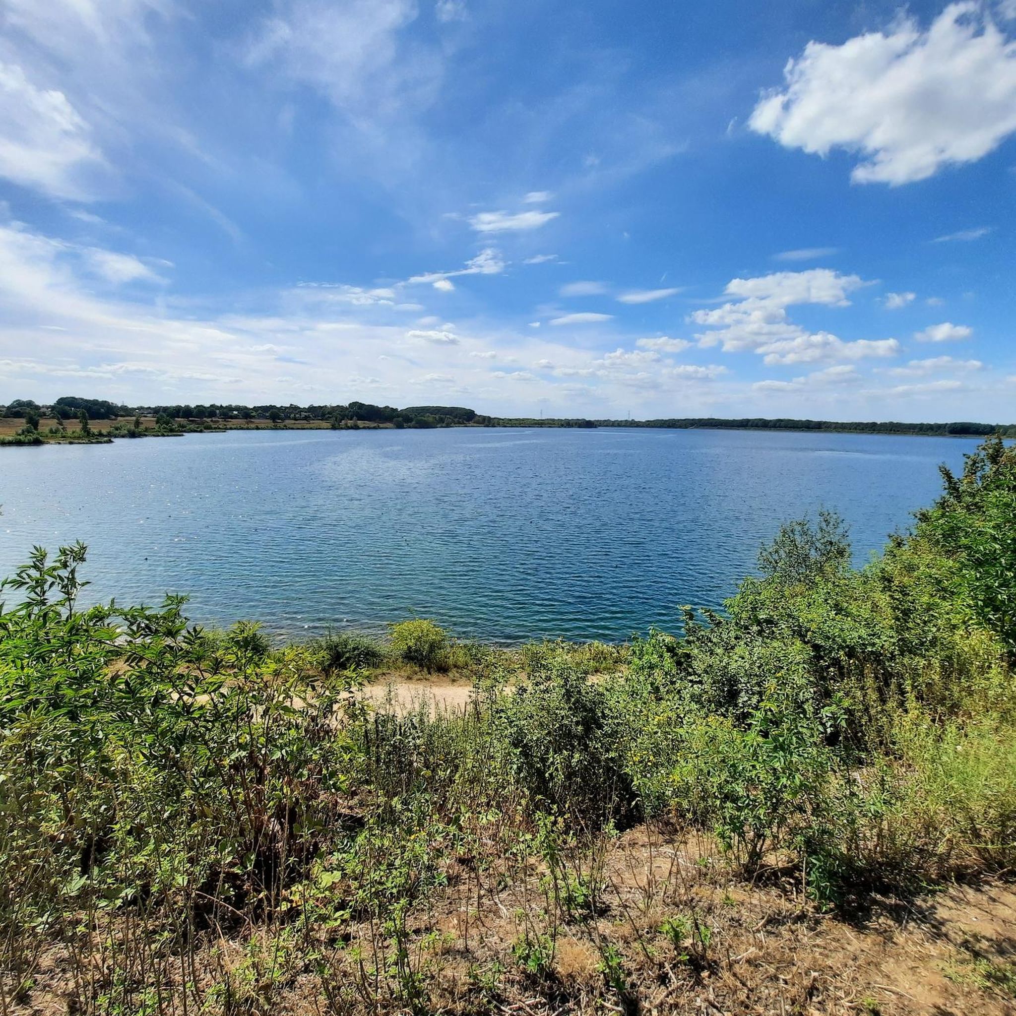
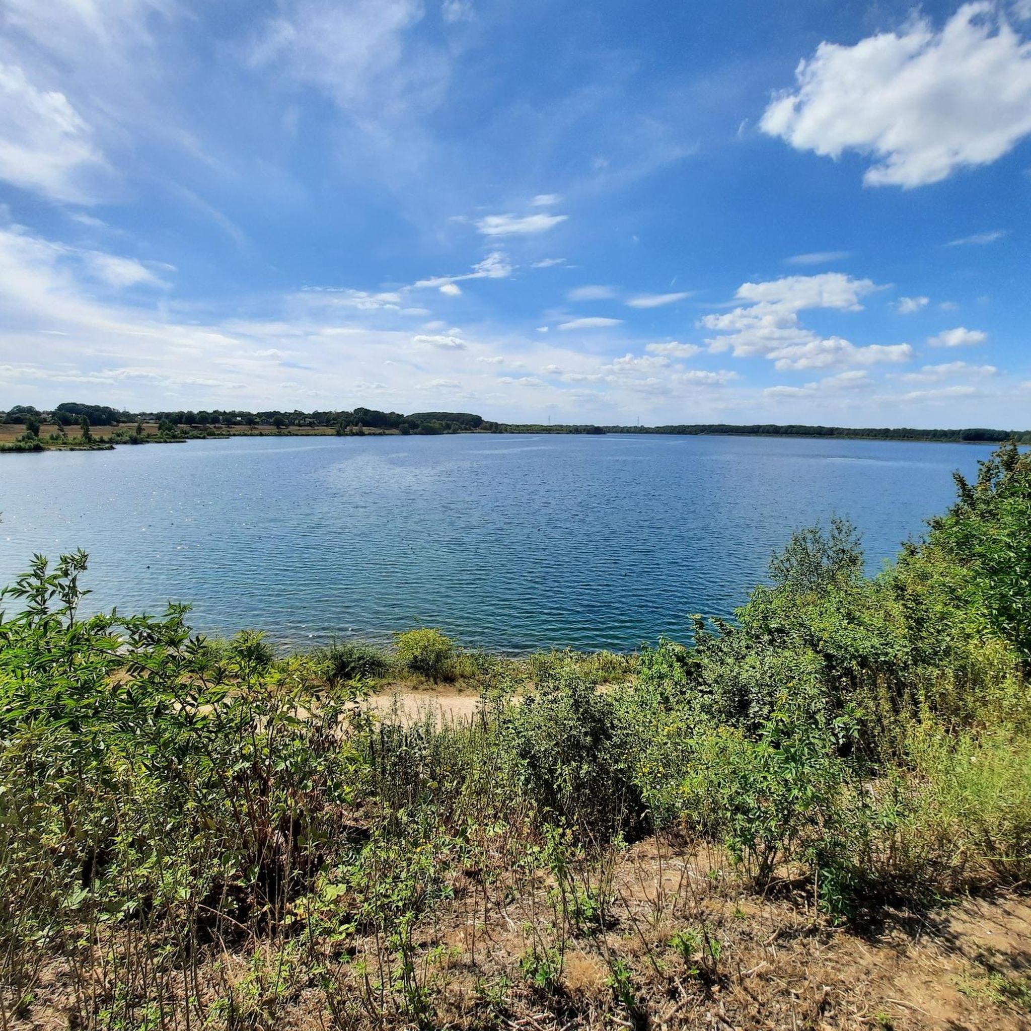
The Oolderplas is a former quarry lake with a depth of up to 37 metres.
2
1

The very large lake has a maximum depth of 32 meters and has hardly any aquatic plants. The lake is a wintering area for water birds: Red-backed diver, red-throated diver and cormorant are observed there.
5
0
힐 주변에서 가장 인기 있는 명소


더 살펴보기
힐 주변에서 완벽한 호수를 아직 못 찾으셨나요? 이 지역의 가이드를 확인하여 더 아름다운 장소를 찾아보세요.
