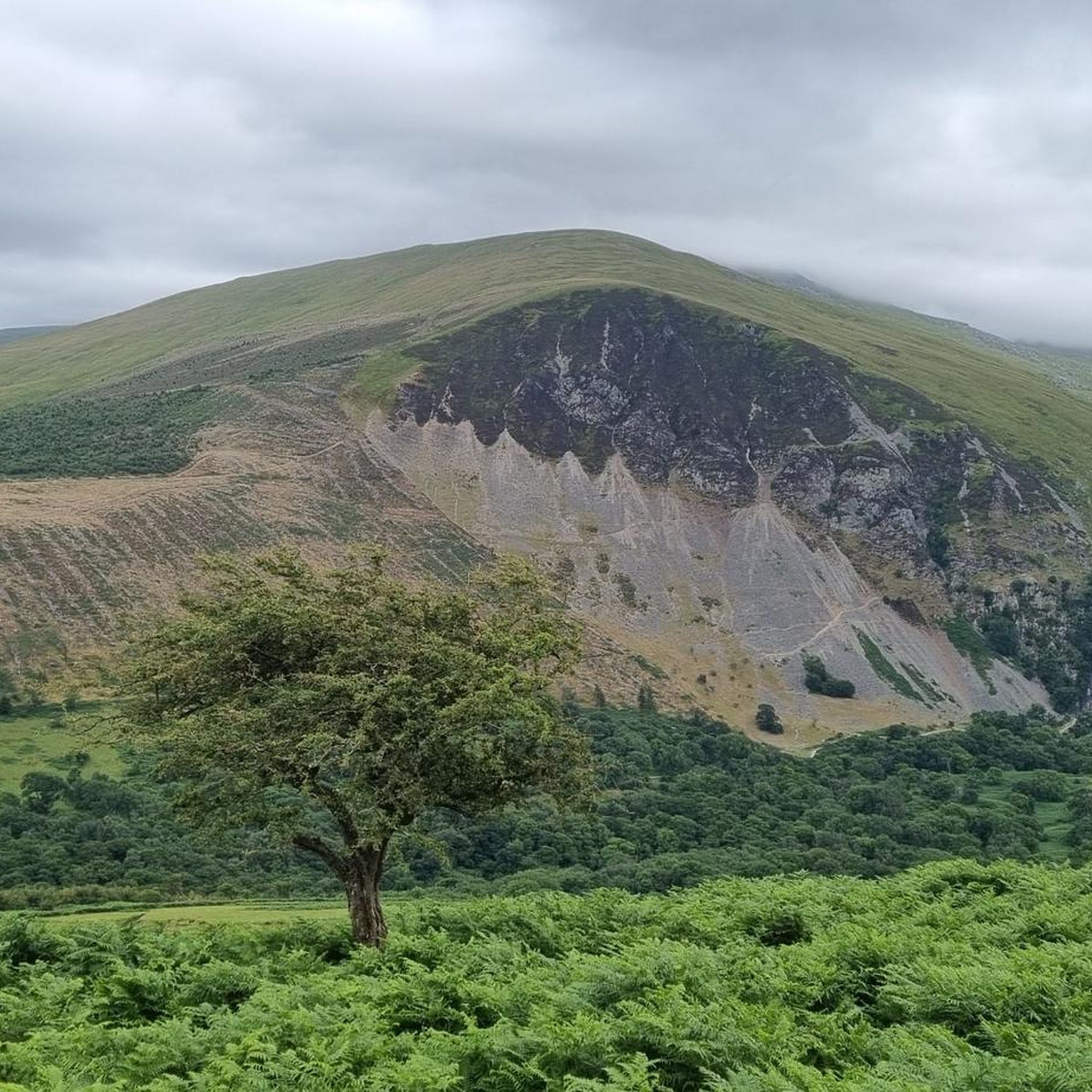
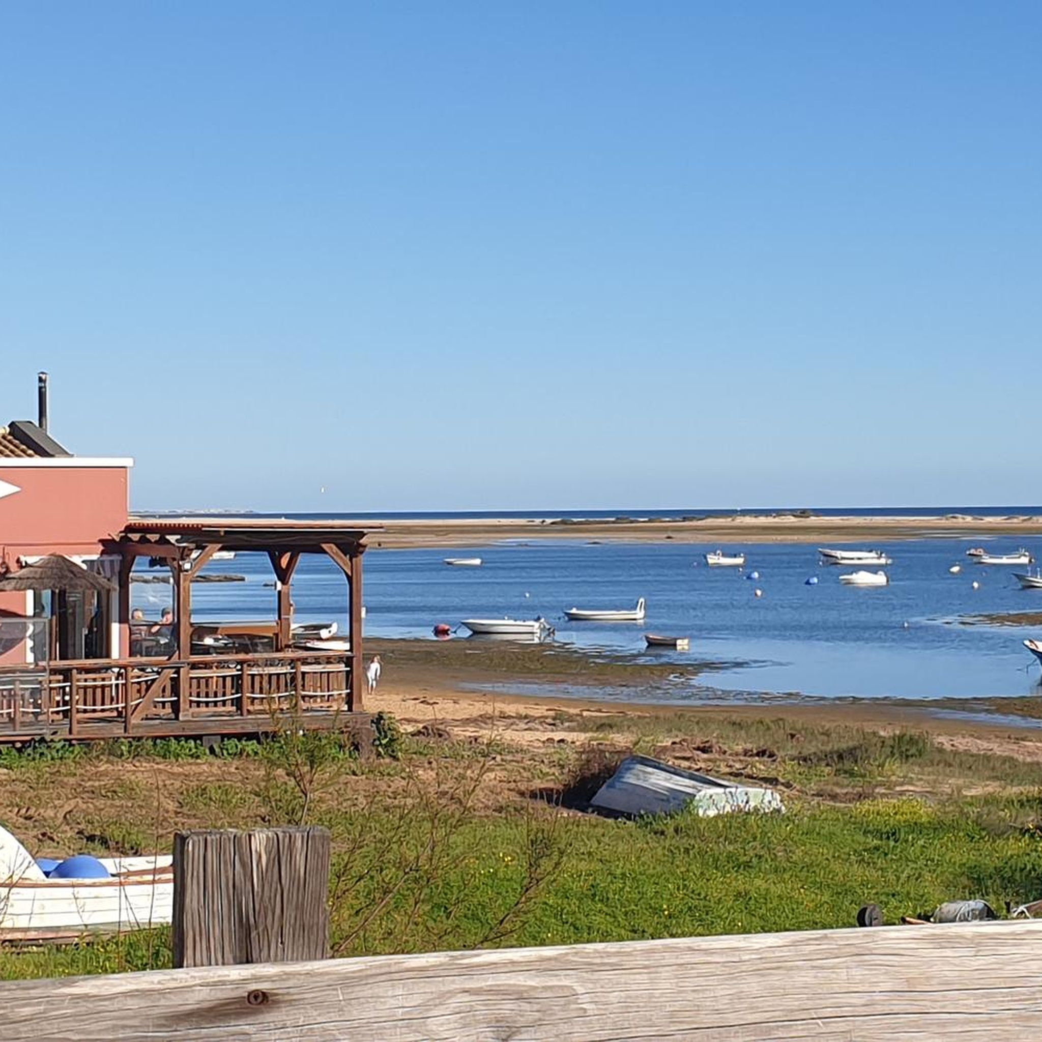
경로플래너기능업데이트
App
로그인 또는 가입
앱 다운로드
로그인 또는 가입
경로
러닝 트레일
영국
웨일즈
노스 웨일즈
귀네드

에이버 커뮤니티

에이버 커뮤니티 최고의 러닝 경로

4.8

(29)

1,558

달리기 하는 사람

19

러닝

에이버 커뮤니티에서 하이킹하며 귀네드 구석 부분까지 살펴볼까요? 에이버 커뮤니티에 있는 모든 하이킹 및 워킹 경로 컬렉션 중 가장 멋진 하이킹 경로를 엄선하여 소개해드릴게요. 다른 하이커가 공유한 실제 팁과 사진을 살펴보고 후기를 읽으며 마음에 드는 에이버 커뮤니티 워킹 경로를 찾아보세요.

마지막 업데이트: 10월 25, 2026

4.6

(7)

116

달리기 하는 사람

#1.

Abergwyngregyn에서 출발하는 Aber Falls 산책로 – 아버 폭포 순환 코스

7.71km

00:58

240m

240m

보통 조깅. 좋은 체력 필요. 대부분 포장된 노면.

기기에서 길안내휴대폰으로 전송
저장
보통

어려운 조깅. 우수한 체력 필요. 대부분 포장된 노면.

어려움
guide_signup
저희가 komoot 모바일 앱로 길을 안내해 드리겠습니다.
무료 komoot 계정로 끝없는 야외 모험을 손쉽게 찾고, 맞춤 설정하며 길안내할 수 있어요.
무료 회원 가입
보통

어려운 조깅. 우수한 체력 필요. 대부분 포장된 노면.

어려움

어려운 조깅. 우수한 체력 필요. 대부분 포장된 노면.

어려움
무료 회원 가입 후 에이버 커뮤니티 주변 러닝 경로를 15개 더 확인하세요

더 다양한 경로와 다른 탐험가들의 추천을 살펴보세요.

무료 회원 가입

이미 komoot 계정이 있나요?

투어 추천은 다른 사람들이 komoot에서 완료한 수천 개의 활동을 바탕으로 구성되어 있습니다.

오늘 무료 계정으로 시작하세요

다음 모험이 기다리고 있어요.
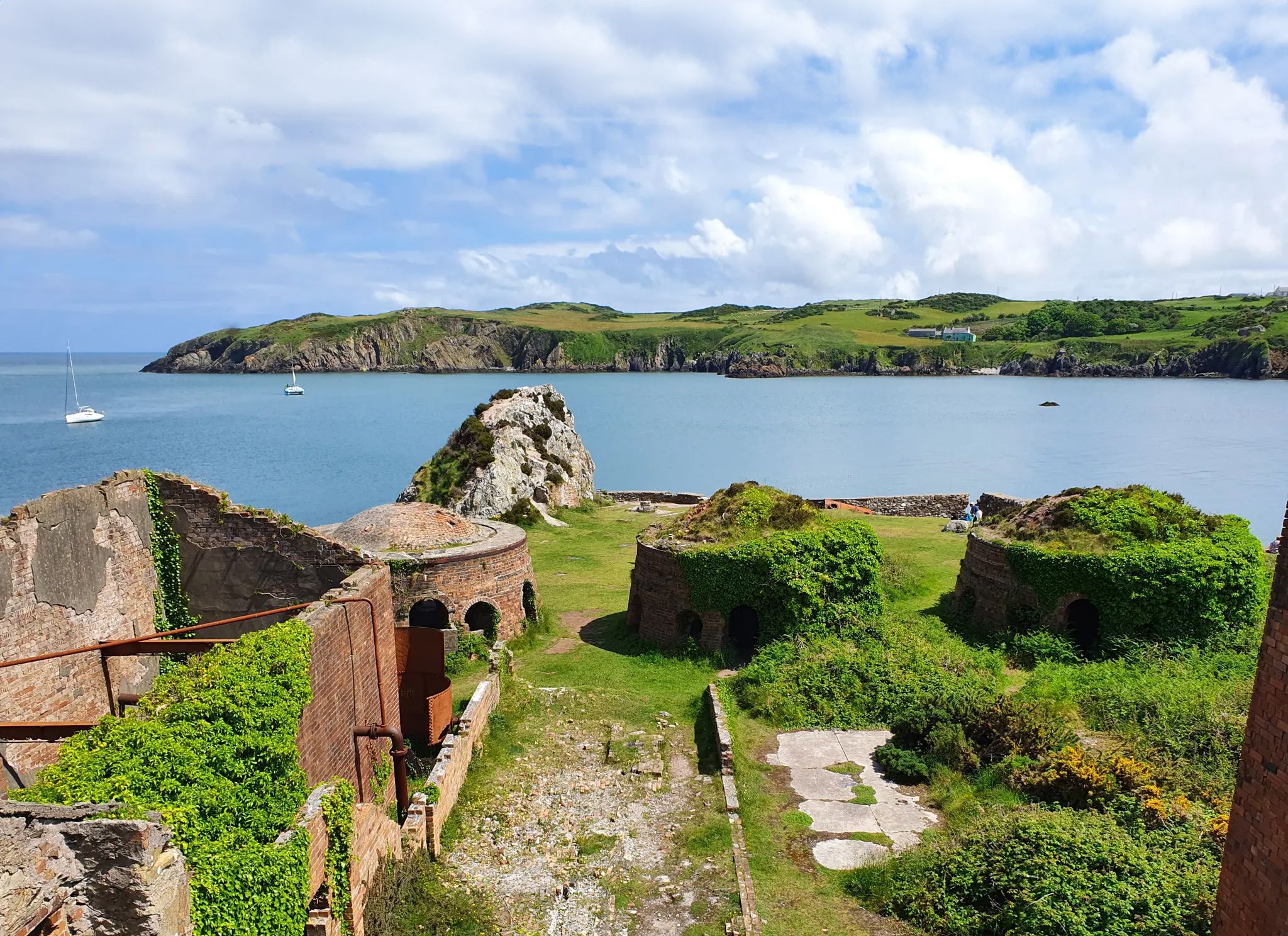
로그인 또는 가입하기

에이버 커뮤니티 주변 인기 장소

위에서 아래까지 발로 웨일스 탐험 - O Fon i Fynwy

북부 에리리(스노우도니아)의 거친 매력

에이버 커뮤니티 하이킹

에이버 커뮤니티 사이클링

에이버 커뮤니티 로드 사이클링 경로

에이버 커뮤니티 MTB 트레일

에이버 커뮤니티 등산

에이버 커뮤니티 주변의 다른 모험

위에서 아래까지 발로 웨일스 탐험 - O Fon i Fynwy

하이킹 컬렉션 에 의해

komoot

커뮤니티 팁

Anne
6월 5, 2026, View of Traeth Lafan

7.3km 지점부터 이 길은 추천하지 않습니다!

번역: Google•

1

0

A very fine mountain that is the high point of the Carneddau range. These mountains are high, remote and so much quieter than the Glyderau or Snowdon. Fabulous walking country.

0

0

Clive G
10월 27, 2025, Foel Fras Summit

Fine remote summit that feels a long way from anywhere.

0

0

A very welcome shelter in bad weather on what is a high, exposed and remote mountain in the Carneddau.

0

0

Clive G
10월 14, 2025, Carnedd Llewelyn

Carnedd Llewelyn is high and relatively remote, so walks there are quite a serious undertaking.

1

0

The Carneddau are high and remote, and this shelter is very welcome when the weather is bad.

0

0

MCW73
9월 25, 2025, Aber Castle Mound

The village of Abergwyngregyn (often shortened to Aber) is on the north coast of Wales, a few miles east of Bangor. The Mound: Pen-y-Mwd is a substantial, steep-sided, sub-circular earthwork. It is a classic Motte, which is the high mound of a motte-and-bailey castle. It measures roughly 22 feet (6.7 meters) high. Motte and Bailey: Traces of a surrounding ditch and a potential Bailey (the outer defensive enclosure) to the south-east have been identified. The motte itself has never been excavated.

1

0

tomstarkey
4월 13, 2025, Drum Summit

Approaching from the north it is a slog on the bike but nothing technical. With the right gearing and fitness it's all rideable if you're happy to take your time and plod.

0

0

에이버 커뮤니티 주변에서 가장 인기 있는 경로

에이버 커뮤니티 하이킹

에이버 커뮤니티 주변에서 가장 인기 있는 명소

Places to see

Store rating

komoot 모바일 앱으로 영감을 받아보세요

무료 komoot 계정로 끝없는 야외 모험을 손쉽게 찾고, 맞춤 설정하며 길안내할 수 있어요.

또는

지금 komoot에 가입하세요
Store rating

더 살펴보기

다른 지역의 최고의 러닝 트레일 & 경로를 살펴보세요.

스노도니아Llanberis린 페리스베드저러트Llŷn AONB (AHNE Llŷn)LlandygaiLlanllechid린 이드월린 파단린 리도TrawsfynyddAberdaronRhinog 국립 자연 보호 구역MawddwyBetws GarmonYr Eifl National Nature ReservePistyll린 크웰린Dyfi ForestBangorCoed TyglasY FelinheliGanllwydPorthmadogMorfa Harlech National Nature Reserve남녀공학Llanfihangel-Y-PennantNefynLlanenganYnys Enlli National Nature ReserveLlanrug베데스다 커뮤니티BuanCors Geirch National Nature ReservePentirLlanfairLlangywerLlanaelhaearnLlanuwchllyn린 난틀 우차프ArthogCaernarfonPenrhyndeudraethBryn-CrugLlanycil린 아레닉 포어LlanystumdwyCricciethTywyn발라 호수LlanddeiniolenLlanbedrog린 씨엠 바이찬DolbenmaenLlandwrogPwllheliCorris남녀공학 아베라트로LlanbedrLlannor코드 린 y 가네드DolgellauTalsarnauLlanfrothenBrithdir And LlanfachrethLlanegrynHarlechWaunfawrMaentwrog린 트라우스피니드LlanelltydLlanllyfniBalaClynnogPennalBarmouthTudweiliogCors Gyfelog National Nature Reserve타니그리시아우 저수지축제 커뮤니티애버도비 커뮤니티LlandderfelLlanwndaBontnewyddDyffryn ArdudwyLlangelyninBotwnnog

근처 어드벤처 가이드

Llanllechid 즐길거리

background

새로운 정복을 위한 준비를 하세요

무료로 가입하기
탐험하기
경로경로 플래너기능바우처 사용하이킹MTB 트레일로드 사이클링 경로바이크패킹사이트맵
앱 다운로드
소셜 미디어에서 팔로우하기

© komoot GmbH

개인 정보 보호 정책