괴리스리드 최고의 등산 경로
4.8
(141)
987
등산객
40
하이킹
괴리스리드에서 하이킹하며 오스탈가우 구석 부분까지 살펴볼까요? 괴리스리드에 있는 모든 하이킹 및 워킹 경로 컬렉션 중 가장 멋진 하이킹 경로를 엄선하여 소개해드릴게요. 다른 하이커가 공유한 실제 팁과 사진을 살펴보고 후기를 읽으며 마음에 드는 괴리스리드 워킹 경로를 찾아보세요.
마지막 업데이트: 9월 8, 2026
4.8
(22)
93
등산객
12.9km
05:10
760m
760m
어려운 등산 코스. 우수한 체력 필요. 대부분 갈 수 있는 길. 미끄러지지 않게 조심해야 함.
5.0
(1)
77
등산객
7.34km
02:54
550m
550m
보통 등산 코스. 좋은 체력 필요. 실력과 관계없이 누구나 쉽게 갈 수 있는 길.

5.0
(4)
18
등산객
19.9km
07:49
1,150m
1,150m
어려운 등산 코스. 우수한 체력 필요. 대부분 갈 수 있는 길. 미끄러지지 않게 조심해야 함.
5.0
(1)
22
등산객
15.0km
05:33
790m
790m
어려운 등산 코스. 우수한 체력 필요. 대부분 갈 수 있는 길. 미끄러지지 않게 조심해야 함.
4.0
(1)
23
등산객
12.1km
05:03
790m
790m
어려운 등산 코스. 우수한 체력 필요. 대부분 갈 수 있는 길. 미끄러지지 않게 조심해야 함.
더 다양한 경로와 다른 탐험가들의 추천을 살펴보세요.
이미 komoot 계정이 있나요?
투어 추천은 다른 사람들이 komoot에서 완료한 수천 개의 활동을 바탕으로 구성되어 있습니다.
오늘 무료 계정으로 시작하세요
다음 모험이 기다리고 있어요.
괴리스리드 주변 인기 장소
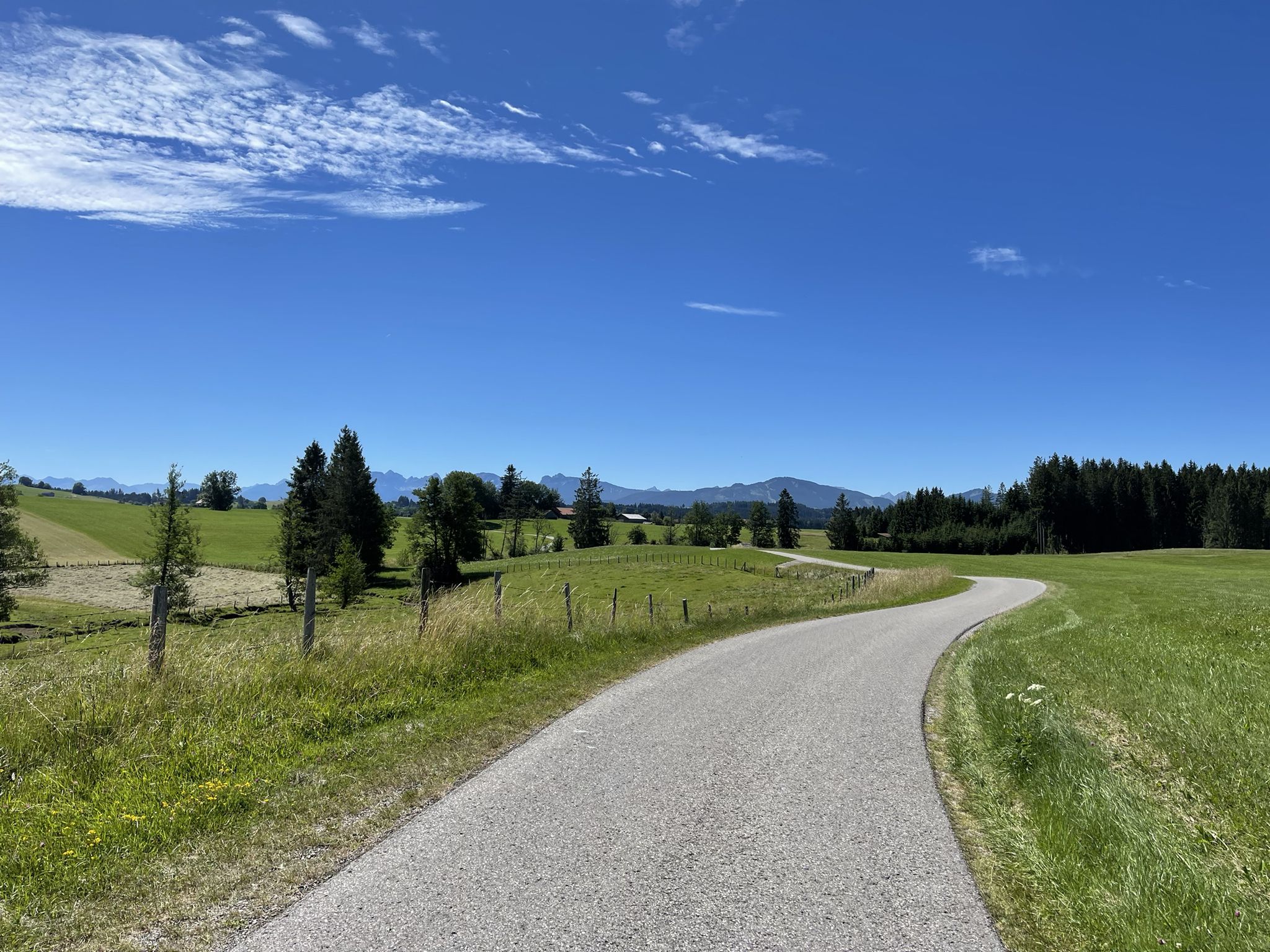
아우크스부르크에서 알고이 알프스까지의 도보 여행
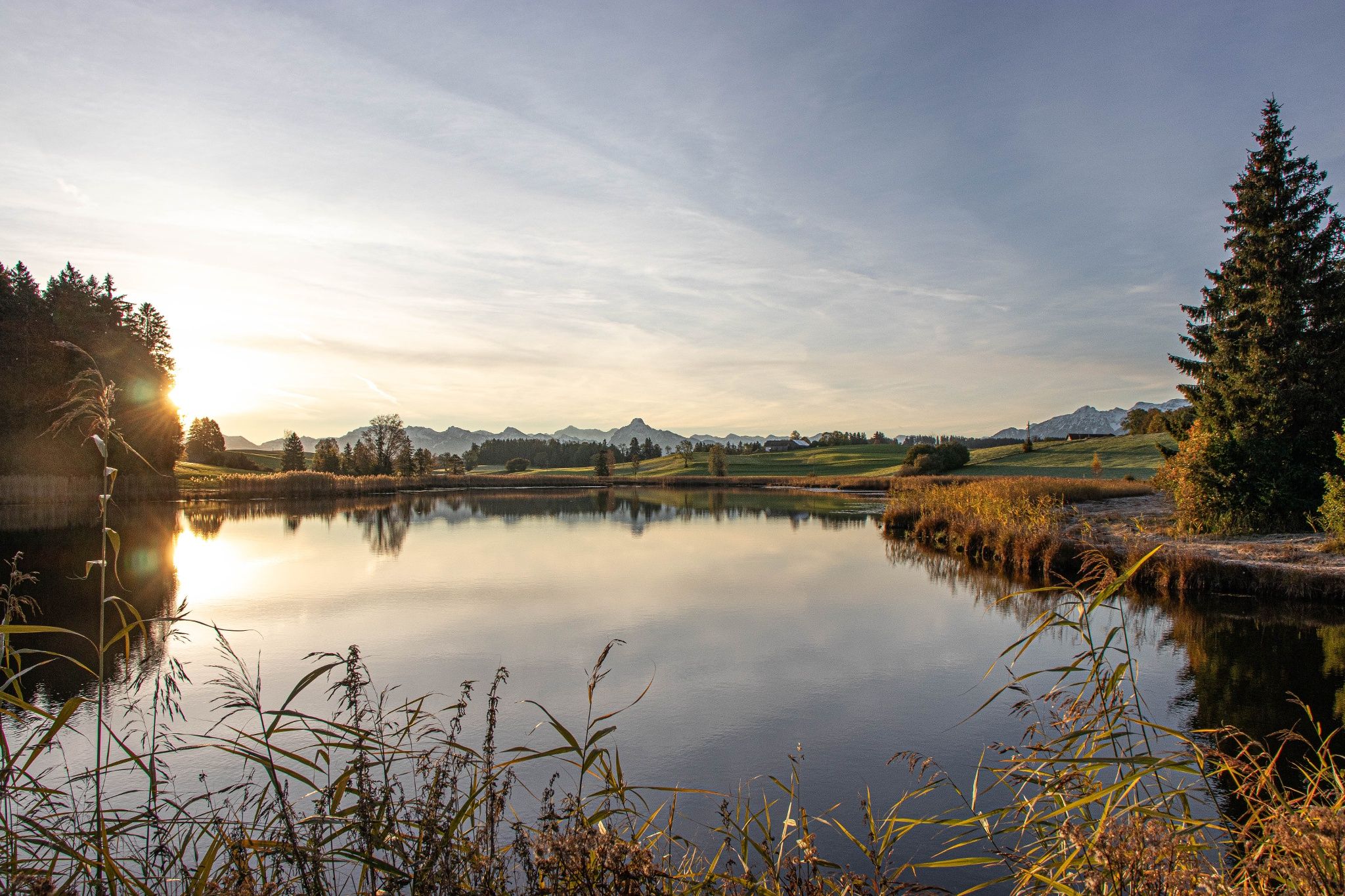
Hike with the Alps in view – discovery Tours in Germany’s Ostallgäu
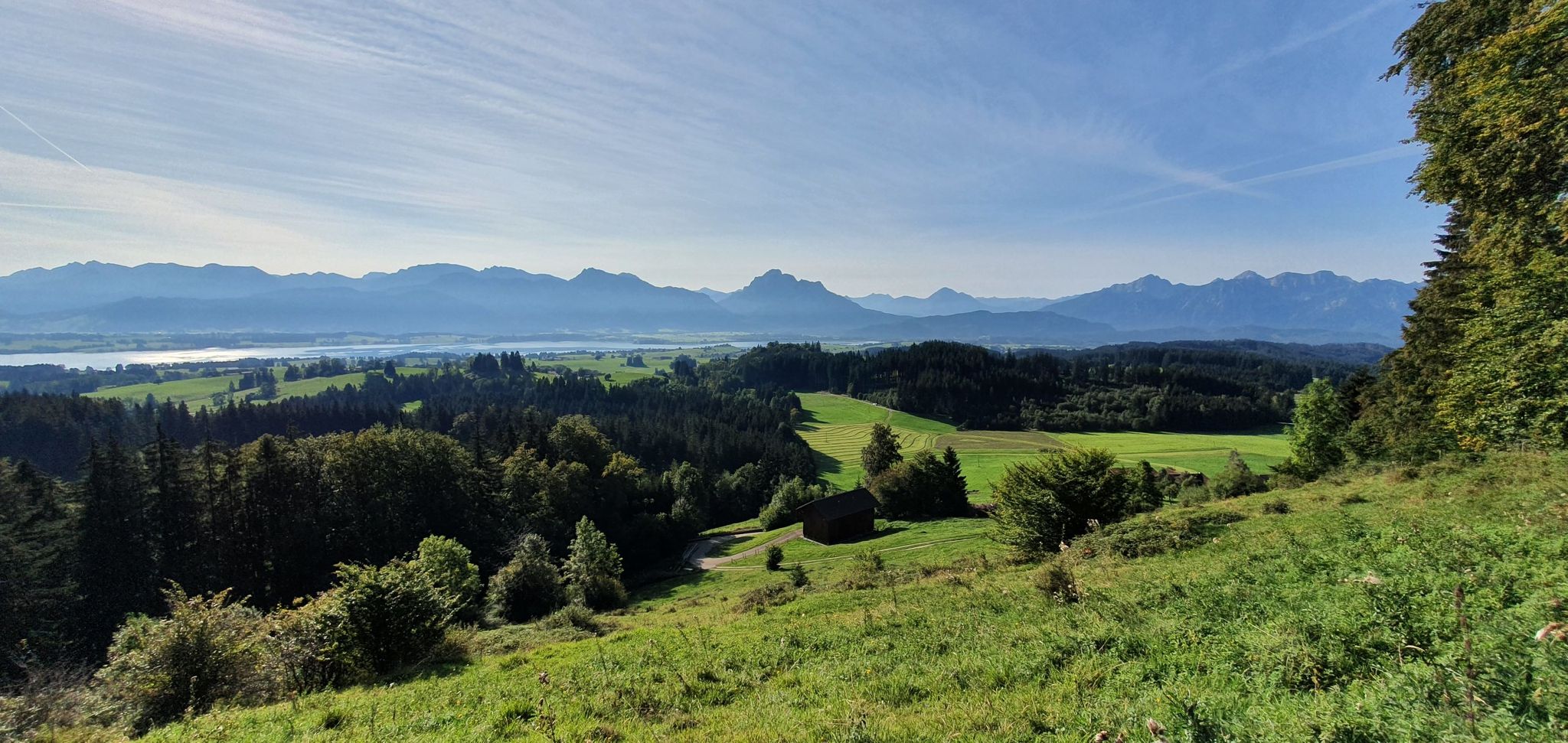
커텐 업, 자연 영화 상영 중! — 독일 오스트알고이의 Logenplatz 루트
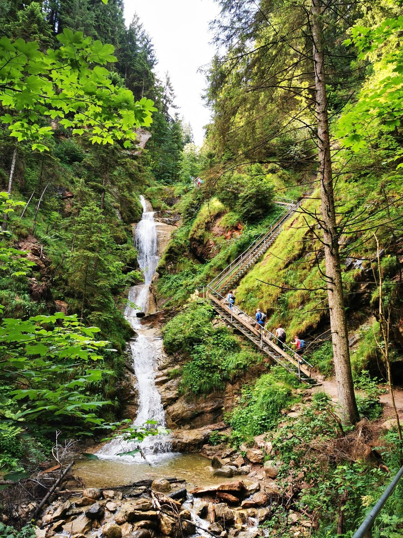
알프스 호수를 발견하세요 - 바이어 루트 - 알고이 하이킹 트릴로지
알프스 기슭의 메도우 워커스 루트 - 알고이 하이킹 트릴로지
Historic landscapes, palaces & castles – cycling in the Schlosspark in Allgäu
괴리스리드 사이클링
괴리스리드 하이킹
괴리스리드 MTB 트레일
괴리스리드 로드 사이클링 경로


커뮤니티 팁


The summit cross is located on the rocky section of the Alpspitz. From here, there is a wonderful view. On the back of the cross is a beautiful plaque depicting Mary with Child. On the front, there is a container with the summit register. Today, on my way down to the west, I even spotted some chamois below the Alpspitz.
5
0

Great spot to enjoy the view - but only when there are no pedestrians there!
0
0

Alpspitz(1575m)는 Edelsberg의 부봉입니다. 이곳은 Allgäu 알프스의 북동쪽 가장자리에 있으며 알프스 가장자리에 바로 접해 있습니다. Alpspitz의 중요한 계곡 마을로는 북쪽에 위치한 Nesselwang(이곳의 영토에 속함), 동쪽의 Pfronten, 남서쪽의 Jungholz가 있습니다. 서쪽으로 2km 떨어진 곳에는 독립된 Reuterwanne(1539m)가 있습니다. 정상은 임도와 등산로를 통해 쉽게 오를 수 있습니다. 가장 빠르고 짧은 접근 경로는 북쪽에서 Alpspitzbahn Nesselwang의 산악역을 통하는 것입니다. 이 역은 정상에서 75m 아래의 안장에 위치해 있습니다. 다른 경로로는 예를 들어 Burg Nesselburg의 폐허나 Maria Trost 순례 성당을 통하는 방법이 있습니다. 정상에는 나무 십자가가 있습니다. Quelle: https://de.wikipedia.org/wiki/Alpspitz_(Allg%C3%A4uer_Alpen)
1
0
The Baroque Maria Trost Church and its adjoining youth hostel are located above the town of Nesselwang in a uniquely beautiful forest clearing at an altitude of 1,123 meters. The church and hostel are only accessible on foot, a 45-minute climb (by car only with a special permit or toll). From the Zinkenbichel Chapel in the center of Nesselwang, you can ascend the scenic Maria Trost Avenue, then the wildly romantic Calvary Trail with its fourteen Stations of the Cross, or take the longer, less strenuous hike. Source: https://www.bja-augsburg.de/Jugendhaeuser/Unsere-Jugendhaeuser/Bergheim-Maria-Trost-Nesselwang
1
0
The alpine hut, idyllically situated amidst the alpine meadows on the Edelsberg, is open from June to the beginning of September (only open on weekends - the hut remains closed in case of persistent rain). At 1,495 meters, the alpine shepherd cares for the free-roaming "Schumpen" (young cattle) – as the Allgäu people call them. From the beginning of September, they return to their farmers' stables well-fed and healthy. Until then, the Allgäu young cattle have had ample opportunity to graze on the diverse grasses of the alpine meadows. In addition to the unique mountain panorama, there is a delicious snack and refreshing drinks. At the Dinserhütte, the Nöß family not only ensures the well-being of the young cattle, but also welcomes hikers and mountain bikers. Source: https://www.pfronten.de/aktiv/berghuetten/dinserhuette/#regdl=kategorien
2
0
순례 교회 마리아 트로스트는 시장 마을 네셀방에 바이에른 슈바벤에서 가장 중요한 순례지 중 하나를 가지고 있습니다. 바로크 양식의 성모 순례지는 해발 1123m의 숲 속 공터에 있으며, 네셀방의 침켄비흘 예배당에서 마리아 트로스트 알레를 거쳐 칼바리 산길을 따라 45분이면 갈 수 있는 산 정상으로 마을과 연결됩니다. Quelle: https://www.pg-pfronten-nesselwang.de/pfarreien/pfarrei-nesselwang/wallfahrtskirche-maria-trost/
1
0
The AlpspitzKICK is a highlight in the Allgäu region. It not only offers fantastic views of the Alpine foothills, but the spectacular zipline at the Alpspitzbahn cable car in Nesselwang is something for those with a strong sense of stability: It descends a total of 1.2 kilometers in two sections on a cable. Speeds of up to 120 kilometers per hour are reached. The start is at the mountain station at approximately 1,500 meters, very close to the summit of the Alpspitze.
2
0
괴리스리드 주변에서 가장 인기 있는 명소


더 살펴보기
다른 지역의 최고의 산악 하이킹 & 경로를 살펴보세요.
