슈발텐바이허 최고의 등산 경로
4.7
(334)
2,013
등산객
49
하이킹
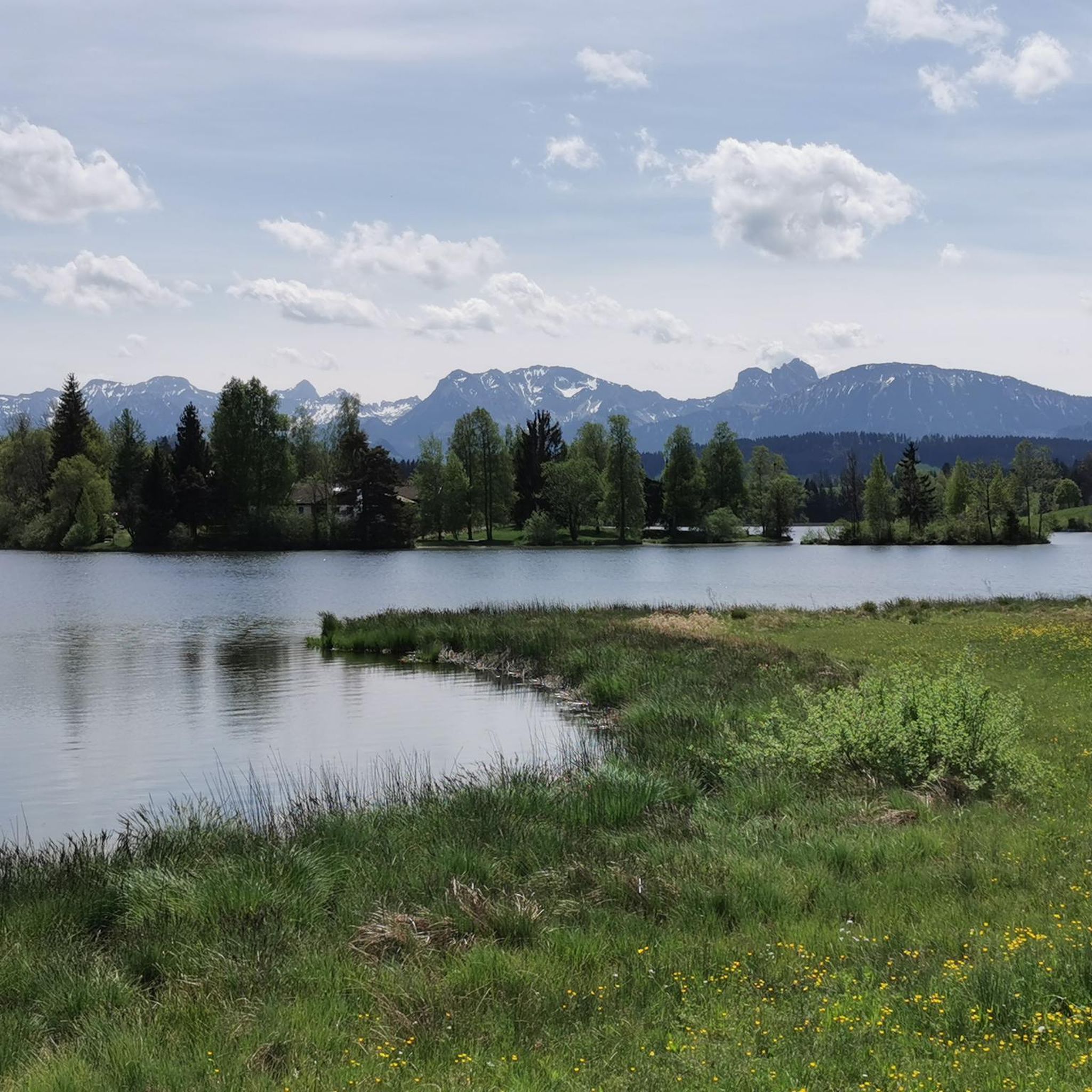
슈발텐바이허에서 하이킹하며 오스탈가우 구석 부분까지 살펴볼까요? 슈발텐바이허에 있는 모든 하이킹 및 워킹 경로 컬렉션 중 가장 멋진 하이킹 경로를 엄선하여 소개해드릴게요. 다른 하이커가 공유한 실제 팁과 사진을 살펴보고 후기를 읽으며 마음에 드는 슈발텐바이허 워킹 경로를 찾아보세요.
마지막 업데이트: 10월 5, 2026
4.9
(16)
109
등산객
9.42km
03:09
470m
470m
보통 등산 코스. 좋은 체력 필요. 대부분 갈 수 있는 길. 미끄러지지 않게 조심해야 함.
4.9
(9)
66
등산객
4.90km
02:24
420m
420m
보통 등산 코스. 좋은 체력 필요. 대부분 갈 수 있는 길. 미끄러지지 않게 조심해야 함.

4.7
(15)
49
등산객
13.2km
04:40
730m
730m
보통 등산 코스. 좋은 체력 필요. 대부분 갈 수 있는 길. 미끄러지지 않게 조심해야 함.
5.0
(5)
46
등산객
10.7km
04:18
710m
710m
보통 등산 코스. 좋은 체력 필요. 대부분 갈 수 있는 길. 미끄러지지 않게 조심해야 함.
5.0
(1)
24
등산객
7.19km
03:14
560m
560m
보통 등산 코스. 좋은 체력 필요. 대부분 갈 수 있는 길. 미끄러지지 않게 조심해야 함.
더 다양한 경로와 다른 탐험가들의 추천을 살펴보세요.
이미 komoot 계정이 있나요?
투어 추천은 다른 사람들이 komoot에서 완료한 수천 개의 활동을 바탕으로 구성되어 있습니다.
오늘 무료 계정으로 시작하세요
다음 모험이 기다리고 있어요.
커뮤니티 팁


정상 십자가는 Kappeler Alp에서 불과 몇 미터 떨어져 있습니다. 거기서 멋진 전망을 볼 수 있습니다. 그곳에서 휴식을 취할 수도 있습니다. Kappeler Alp에서는 맛있는 음식으로 기운을 차릴 수 있으며 넓은 테라스에서 경치를 즐길 수 있습니다.
4
0

The AlpspitzKICK is a highlight in the Allgäu region. It not only offers fantastic views of the Alpine foothills, but the spectacular zipline at the Alpspitzbahn cable car in Nesselwang is something for those with a strong sense of stability: It descends a total of 1.2 kilometers in two sections on a cable. Speeds of up to 120 kilometers per hour are reached. The start is at the mountain station at approximately 1,500 meters, very close to the summit of the Alpspitze.
2
0

Simply fantastic when visibility is good
9
0
The view is simply fantastic
10
0

A very cozy and rustic hut that is vegetarian-run! The food and service are always excellent! Open until 6pm in the winter, and longer in groups if you register!
2
0

Nice resting point just before the Alpspitz
0
0

Right next to the mountain station you will find the AlpspitzKick TakOff Tower, Germany's longest zipline at 1.2 km in two sections. A few meters further on you will find the Böck sports center, where you can have a good rest or spend the night in the lodge. Hiking trails from here lead up to the Alpspitze and the neighboring Edelsberg, as well as numerous trails into the valley to Nesselwang, but also towards Jungholz and Grüntensee, for example. The view extends into the valley towards Nesselwang and Ostallgäu, to Neuschwanstein Castle, Weissensee and Forggensee, towards Vils and Reutte in the Lechtal and to Breitenberg and Aggenstein, among others. A head for heights is only necessary when using the AlpspitzKick.
2
0
슈발텐바이허 주변에서 가장 인기 있는 명소


더 살펴보기
다른 지역의 최고의 산악 하이킹 & 경로를 살펴보세요.
