다뉴브 리스 최고의 러닝 경로
4.3
(411)
8,102
달리기 하는 사람
881
러닝
다뉴브 리스에서 하이킹하며 알트뮐탈 구석 부분까지 살펴볼까요? 다뉴브 리스에 있는 모든 하이킹 및 워킹 경로 컬렉션 중 가장 멋진 하이킹 경로를 엄선하여 소개해드릴게요. 다른 하이커가 공유한 실제 팁과 사진을 살펴보고 후기를 읽으며 마음에 드는 다뉴브 리스 워킹 경로를 찾아보세요.
마지막 업데이트: 10월 18, 2026
4.2
(23)
398
달리기 하는 사람
6.26km
00:39
30m
30m
보통 조깅. 좋은 체력 필요. 대부분 포장된 노면.
4.5
(4)
223
달리기 하는 사람
9.81km
01:01
50m
50m
보통 조깅. 좋은 체력 필요. 대부분 포장된 노면.

4.2
(17)
166
달리기 하는 사람
4.92km
00:31
20m
20m
초급용 러닝. 대부분 포장된 노면.
3.5
(2)
108
달리기 하는 사람
13.2km
01:25
150m
150m
보통 조깅. 좋은 체력 필요. 대부분 포장된 노면.
3.5
(2)
101
달리기 하는 사람
11.7km
01:14
140m
140m
보통 조깅. 좋은 체력 필요. 대부분 포장된 노면.
102
달리기 하는 사람
13.7km
01:33
210m
210m
보통 조깅. 좋은 체력 필요. 대부분 포장된 노면.
92
달리기 하는 사람
8.40km
00:54
130m
130m
보통 조깅. 좋은 체력 필요. 대부분 포장된 노면.
4.0
(3)
78
달리기 하는 사람
6.50km
00:40
20m
20m
보통 조깅. 좋은 체력 필요. 대부분 포장된 노면.
67
달리기 하는 사람
11.1km
01:12
130m
130m
보통 조깅. 좋은 체력 필요. 대부분 포장된 노면.
3.0
(1)
71
달리기 하는 사람
9.57km
01:00
40m
40m
보통 조깅. 좋은 체력 필요. 대부분 포장된 노면.
더 다양한 경로와 다른 탐험가들의 추천을 살펴보세요.
이미 komoot 계정이 있나요?
투어 추천은 다른 사람들이 komoot에서 완료한 수천 개의 활동을 바탕으로 구성되어 있습니다.
오늘 무료 계정으로 시작하세요
다음 모험이 기다리고 있어요.
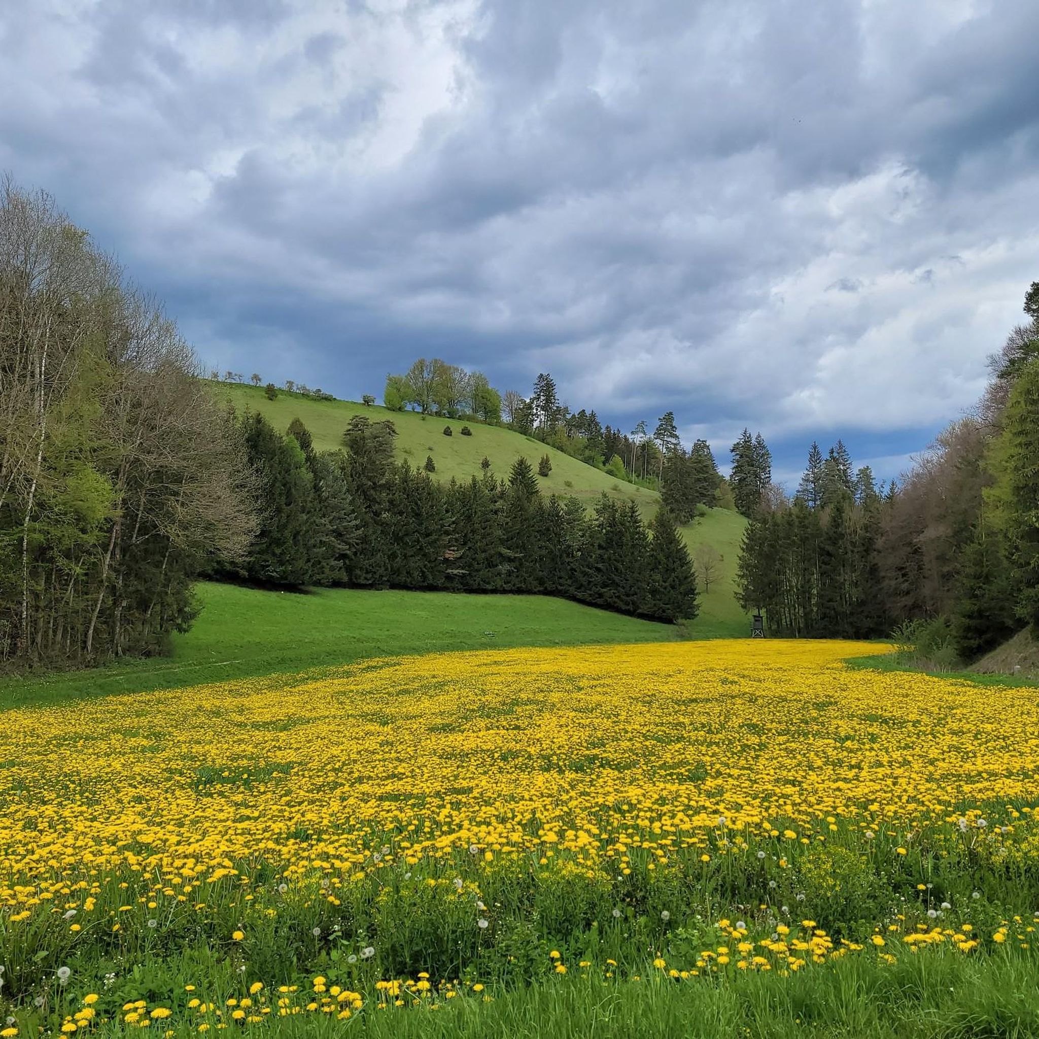

다뉴브 리스의 다른 모험


커뮤니티 팁

Donauwörth는 발견할 것이 꽤 있는 매우 멋진 작은 마을입니다.
3
0

The local history museum in Donauwörth is located in one of the oldest parts of the town. It is housed in the red house on Ried Island. The Härpfer family, who have been connected to the town's fishing history since 1434, once lived here. The museum displays religious folk art, crafts, and offers deep insights into the town's cultural history.
1
0

The Holy Cross Monastery in Donauwörth is a former Benedictine abbey. The monastery, dedicated to the Holy Cross, was founded around 1040 by Mangold I of Werd as a Benedictine convent. The founding gift was a fragment of the True Cross, which Mangold received in Constantinople as an envoy of the Holy Roman Emperor. At the beginning of the 12th century, the nunnery was replaced by a Benedictine monastery for men and relocated to the western edge of the town, its highest point within the city walls. After the buildings were damaged during the Thirty Years' War, the west wing of the monastery was rebuilt starting in 1680. The south and east wings were constructed between 1696 and 1700 by Valerian Brenner, incorporating the medieval cloister. Following the War of the Spanish Succession, Abbot Amandus Röls commissioned the construction of a new church. During the Rococo period (1770/1780), the buildings were remodeled and expanded several times. Joseph Schmuzer was the architect of the abbey church. Franz Schmuzer created the stucco work in the church in 1719 and the high altar in 1729. The frescoes in the chancel, which were usually painted there, were executed as oil paintings by Jacob Carl Stauder in 1720. The abbey was dissolved on January 15, 1803, as part of the secularization process. As a consequence of the Final Recess of the Imperial Deputation, the abbey's movable and immovable property was transferred to the Prince of Oettingen-Wallerstein as compensation for his losses of lands on the left bank of the Rhine, particularly the Lordship of Dagstuhl in the Hinterpfalz region. The abbey church remained as the parish church of the Holy Cross and as a pilgrimage church. At the beginning of the War of the Fifth Coalition (1809), Napoleon Bonaparte resided for several days in the prelature of the dissolved monastery, as evidenced by the "Napoleon Room" still located there today. From there, he even issued the first order of the day of the campaign, which would prove extremely favorable for him with the Peace of Schönbrunn, the culmination and turning point of his power on the European continent. Meanwhile, he had the former monastery church repurposed as a stable. The last abbot of the monastery was Cölestin Königsdorfer (1756–1840). The archive of the secularized Holy Cross Monastery (Donauwörth) is located in Harburg. In 1877, the educator Ludwig Auer acquired the monastery buildings. ...... Source: https://de.wikipedia.org/wiki/Kloster_Heilig_Kreuz_(Donauw%C3%B6rth)
1
0

Approximately 120 steps lead to the top... and offer a great view over Wemding at the very top.
2
0
Wörnitz Bridge - Wörnitz Footbridge - Wooden bridge with a view of the Holy Cross Monastery ⛪ - Wörnitz 🌊 - Donauwörth - Donau-Ries District
0
0
The Wörnitz is a left and northern tributary of the Danube in Bavaria, approximately 132 km long. The name is recorded as "Werinza" in the 11th century, and as "Warinza" in the 12th century. There are two theories regarding the origin of this name. In 1950, the onomastician Joseph Schnetz traced the name back to the Indo-European root *ver, meaning "to turn" or "to twist," to which the participle ending -entia was added. According to this theory, Wörnitz means "the winding one." Onomastician Wolf-Armin von Reitzenstein, however, the name derives from the Indo-European root *u̯er, meaning "water," from which it was derived by adding a -nt suffix. Albrecht Greule, on the other hand, sees a connection with the Indo-European words *h2u̯er- "to be moist" or *h2u̯erh1- "to wet." *h2u̯er- The river gave its name to several places: Wörnitz, Wörnitzhofen, Wörnitzostheim, and Wörnitzstein. The Wörnitz originates from a spring in Schillingsfürst on the Franconian Heights and flows from there fairly steadily in a southerly to easterly direction. Initially, it flows south through the municipality of Wörnitz through a meadow valley bordered by wooded hills, receiving the Ampfrach and Zwergwörnitz streams from the right along this stretch. At river kilometer 115.62, near the village of Reichenbach in Feuchtwangen, a gauge measures the flow rate. From the medieval town of Dinkelsbühl, a southeasterly section begins, leading to the edge of the Nördlinger Ries crater, where many of its tributaries feed ponds, sometimes in close succession. Now flowing more easterly, it first reaches Wilburgstetten, where the Rotach River flows into it from the west. Initially, it flows more easterly, through Wilburgstetten, where it is joined by the Rotach River, again from the west. ... ..... Source: https://de.wikipedia.org/wiki/W%C3%B6rnitz
0
0

뇌르틀링겐의 발딩거 토르는 5개의 역사적인 도시 성문 중 하나로, 1376년에 처음 언급되었습니다. 뷔르츠부르크와 프랑크푸르트암마인의 방향으로 가는 도로를 보호했으며 중세 도시 성벽의 일부였습니다. 외곽 요새는 1406년에 벤체슬라우스 마이스터에 의해 완성되었고, 1430년에는 석공 콘라트 슈텐글린의 지휘 아래 재건축이 이루어졌습니다. 원래 성문 구조는 베르거 토르와 유사했습니다. 거의 정사각형의 외곽 요새를 갖춘 직사각형의 주 성문 건물입니다. 탑은 5층이었고 포대와 텐트 지붕이 있는 둥근 상부 구조를 가지고 있었습니다. 30년 전쟁 중에 성문이 손상되었고, 1703년에는 불충분한 수리 때문에 탑이 예기치 않게 붕괴되었습니다. 이 사고로 5명이 사망했습니다.
8
0


찾고 계신 것을 찾지 못하셨나요?
다뉴브 리스에서 더 많은 러닝 트레일 & 경로를 확인하고 목적지에서 완벽한 경로를 찾아보세요.
더 살펴보기
다른 지역의 최고의 러닝 트레일 & 경로를 살펴보세요.
