플라이슈방겐 최고의 러닝 경로
4.6
(287)
2,695
달리기 하는 사람
255
러닝
플라이슈방겐 주변의 조깅 코스는 독일 바덴뷔르템베르크의 다양한 풍경을 가로지릅니다. 이 지역은 프룽거-부르크바일러 리드와 같은 광활한 습지 및 수변 지역이 특징이며, 잘 정비된 길과 아름다운 경치를 제공합니다. 러너들은 숲과 탁 트인 들판을 통과하는 다양한 지형도 찾을 수 있어 다채로운 경험을 선사합니다. 이 지역에는 호수와 완만한 오르막과 같은 자연 지형이 포함되어 있어 그림 같은 조깅 환경을 조성합니다.
플라이슈방겐 주변 최고의 조깅 코스
- 가장 인기 있는 조깅 코스는 빌헬름스도르프 출발 러닝 루프로, 5.5마일(8.8km) 길이이며 57분이 소요됩니다. 이 코스는 프룽거-부르크바일러 리드 근처의 다양한…
마지막 업데이트: 10월 21, 2026
10
달리기 하는 사람
6.36km
00:40
50m
50m
보통 조깅. 좋은 체력 필요. 대부분 포장된 노면.
8
달리기 하는 사람
6.11km
00:38
50m
50m
보통 조깅. 좋은 체력 필요. 대부분 포장된 노면.

5
달리기 하는 사람
7.44km
00:47
50m
50m
보통 조깅. 좋은 체력 필요. 대부분 포장된 노면.
9
달리기 하는 사람
19.9km
02:07
50m
50m
어려운 조깅. 우수한 체력 필요. 대부분 포장된 노면.
7
달리기 하는 사람
3.92km
00:26
20m
20m
초급용 러닝. 대부분 포장된 노면.
더 다양한 경로와 다른 탐험가들의 추천을 살펴보세요.
이미 komoot 계정이 있나요?
투어 추천은 다른 사람들이 komoot에서 완료한 수천 개의 활동을 바탕으로 구성되어 있습니다.
오늘 무료 계정으로 시작하세요
다음 모험이 기다리고 있어요.
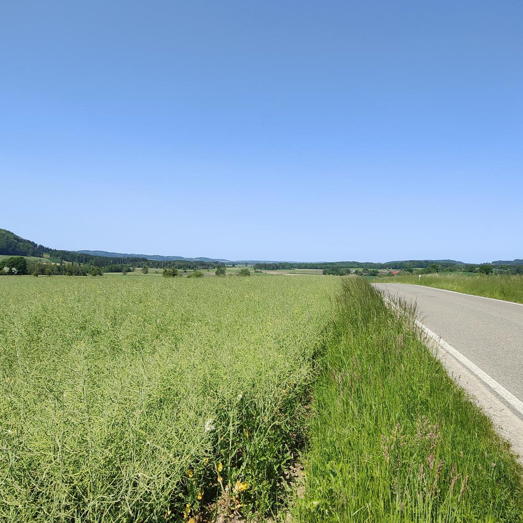
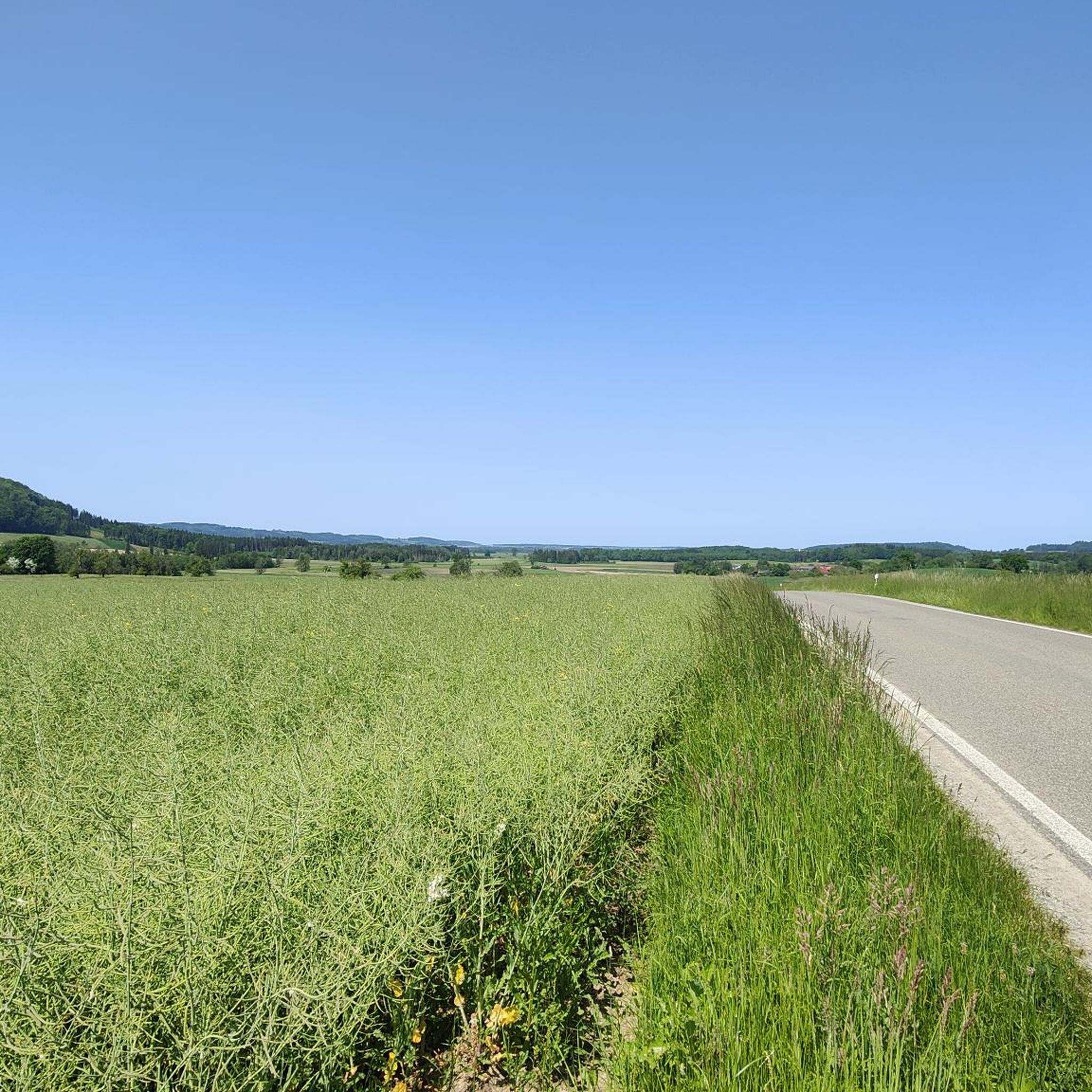
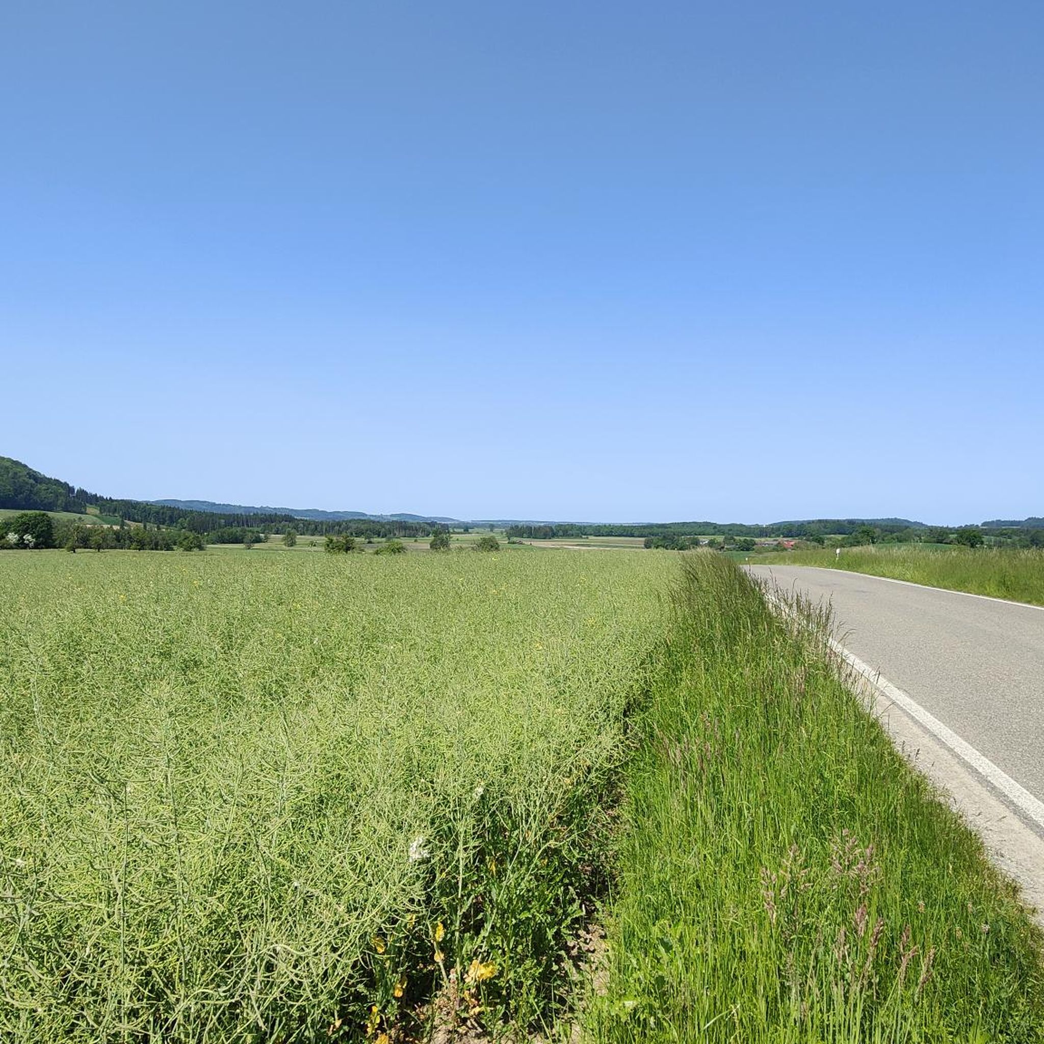
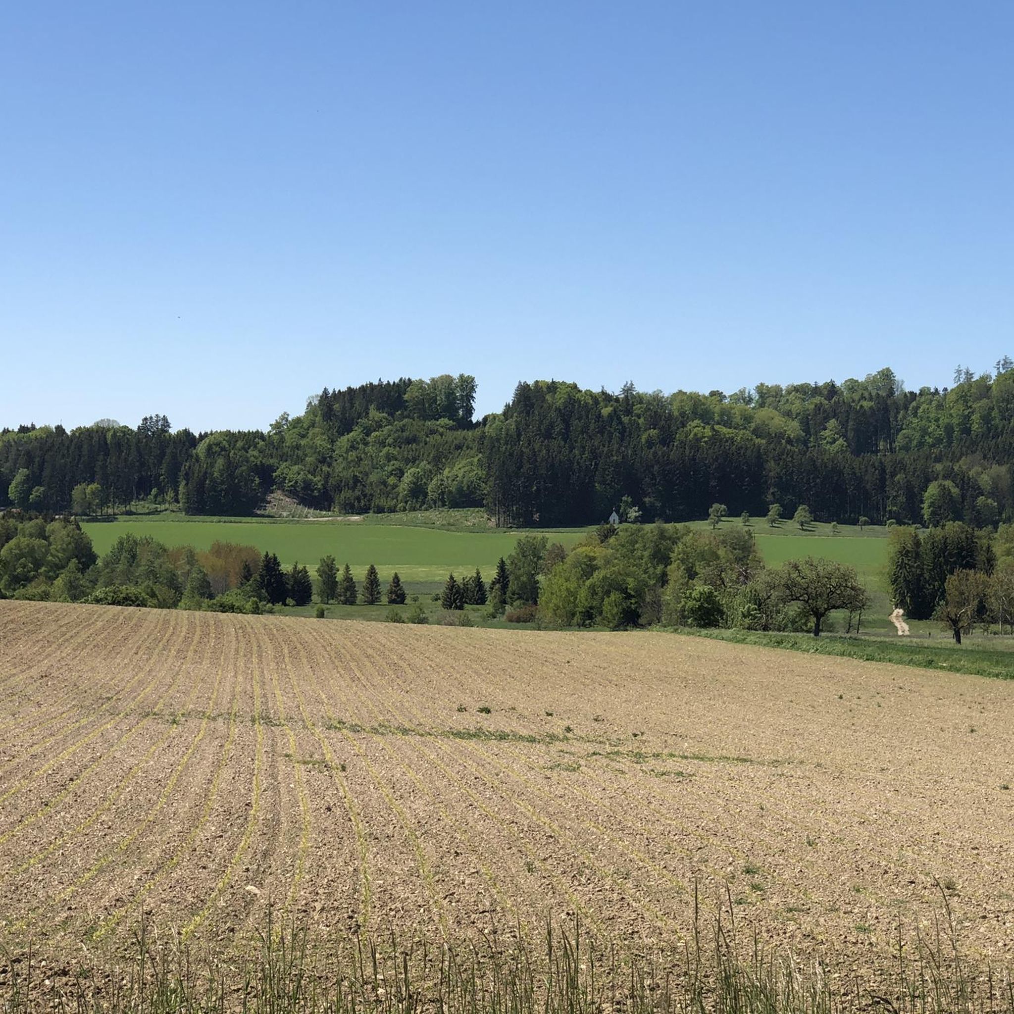
커뮤니티 팁

정말 아름다운 자연의 한 조각입니다.
0
0


The Pfrunger-Burgweiler Ried (formerly Pfrunger Ried), with its 2,600 hectares, is the second largest contiguous moorland in southwest Germany after the Federsee. The Ried lies at an average elevation of 610 m above sea level in the districts of Ravensburg and Sigmaringen, near the municipalities of Wilhelmsdorf and Ostrach. It is surrounded by Tertiary molasse uplands, which reach their highest elevations at Rinkenburg (718 m above sea level) and Höchsten (837.8 m above sea level). Only small parts of the moorland, which once covered almost 3,000 hectares, have survived. Almost 2,000 hectares have been converted to grassland, and about 400 hectares are planted with birch and black alder trees. 120 hectares of water bodies were created by peat cutting; thus, the lowland and intermediate moor areas in particular have disappeared, with only a few remnants. However, the raised bogs have been largely preserved and cover an area of almost 150 hectares. The Pfrunger-Burgweiler Ried Nature Reserve has existed since 1980, covering an area of 780 hectares. It is intensively managed both scientifically and through experiential education and is accessible to visitors via several nature trails. Today's bog area is the remnant of a post-glacial lake that gradually filled with sediment and mineral deposits after the melting of the Rhine glacier, thus partially silting up. This gave rise to fens and, in some places, raised bogs above them. These areas were characterized by depth and wetness and were unsuitable for permanent human settlement. However, mineral infiltration also led to the formation of permanent islands on which the first permanent human settlements emerged. The core of the area, however, remained uninhabited and was considered uncultivable, inferior land. Source: https://de.wikipedia.org/wiki/Pfrunger-Burgweiler_Ried
3
0

From the almost 39 meter high Bannwaldturm you have a sensational panorama over the large moorland area of the Pfrunger-Burgweiler Ried nature reserve. Highly recommended, don't be put off by the 219 steps.
5
1

It's just soooo beautiful ❤️ you feel directly connected to nature 🏞️
0
0

The Pfungener Ried is particularly interesting for its animals and plants. I've been there several times.
3
0
플라이슈방겐 주변에서 가장 인기 있는 명소


더 살펴보기
다른 지역의 최고의 러닝 트레일 & 경로를 살펴보세요.
