12의 드럼보이가지 명소 & 주요 장소
드럼보이에는 둘러볼 만한 장소가 많답니다. 하이킹 또는 사이클링을 좋아한다면 드럼보이에 숨겨진 12
가지 보석을 만날 수 있을 거예요. 이 지역의 주요 명소를 살펴보면서 다음 모험을 계획해보세요.
마지막 업데이트: 10월 16, 2026

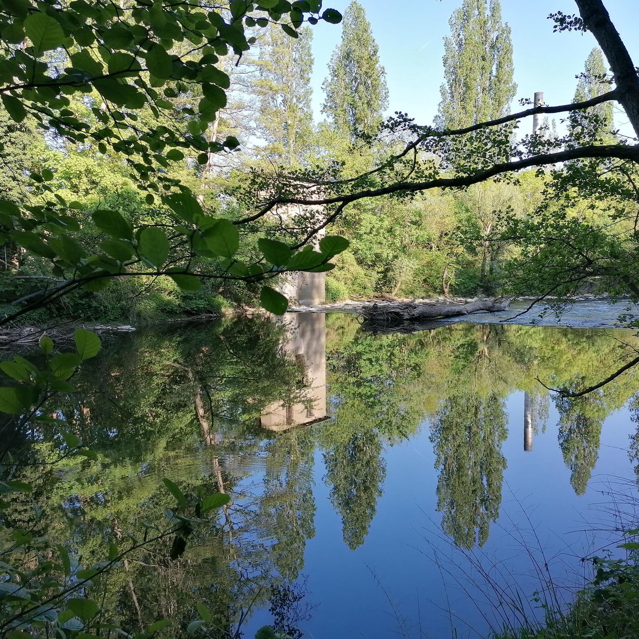
Lower Lough MacNean
하이라이트 • 자연
팁에 의해

이런 장소를 발견하려면 지금 가입하세요
최고의 싱글 트랙, 봉우리 및 다양한 흥미로운 야외 장소에 대한 추천을 받아보세요.
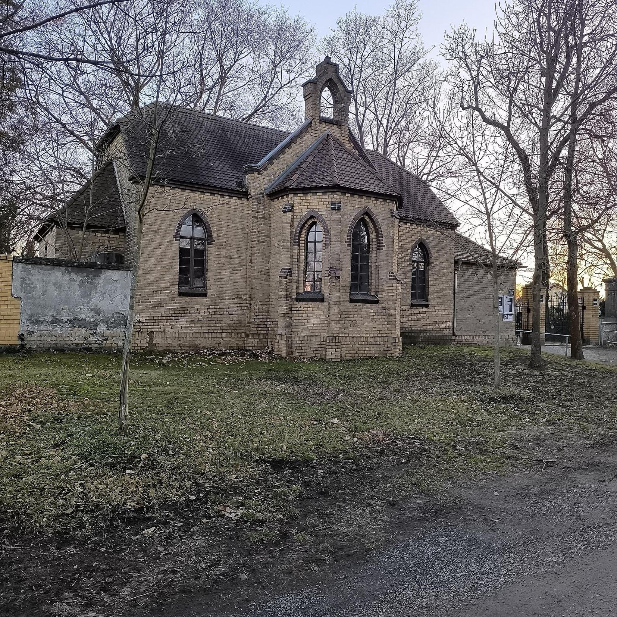
킬라데아스 수도원 교회와 초기 기독교 석조물
하이라이트 • 기념물
팁에 의해

폴나골럼 동굴과 폭포
하이라이트 • 동굴
팁에 의해

데버니시 수도원 유적지
하이라이트 • 기념물
팁에 의해
무료로 가입하여 드럼보이 주변의 더 많은 명소를 발견하세요.
이미 komoot 계정이 있나요?
오늘 무료 계정으로 시작하세요
다음 모험이 기다리고 있어요.


커뮤니티 팁

Would not regard the Sligo Road from Enniskillen to Belcoo as a cycle friendly road. Extremely poor surface for considerable stretches, very bendy in places too. I live in Enniskillen; have cycled it but would avoid it if at all possible. Cycling via Five Points , on Swanlinbar Road; then via old rail line from old Letterbreen railway station towards Lough MacNean ; or take road from Five Points towards Gortatole is a far more pleasant and safer option.
2
0

"continual slur on Irish caving" It's actually only a few hundred metres is accessible and it's total length is thought to be 2km. No where near the longest cave in Ireland. Consider a trip in only if well equipped with a good light and helmet. Alternatively/also consider visiting McKenzies back lounge just down the road. A much drier watering hole. ;)
1
0

In the graveyard are several interesting stones, probably the most noted one is known as the Bishops stone, this odd shaped stone has been altered and reused several times, originally thought to have been a carved figure similar to those on nearby White Island. Another stone with a lot of history is the large slab standing west of the bishops stone, one side of the stone bears at least twelve cup-shaped hollows, see image above right, which suggest this maybe a multiple bullaun stone/cup marked stone that has been reused as an early Christian cross slab, as on the obverse face is a Greek cross in a circle with a bifurcated stem. Situated south of the bullaun stone is a holed stone, as the image shows this stone is half embedded in the ground. Immediately to the West of the holed stone is a broken 1.2 metre high stone pillar. This stone may have been damaged. http://www.megalithicireland.com/Killadeas.htm
1
0
Devenish Monastic Site is generally considered to be the most important of Lough Erne's many island church settlements. Devenish was founded in the 6th century by St Molaise. It was raided by Vikings in 837 and burned in 1157, but in the Middle Ages flourished as the site of a parish church and St Mary's Augustinian Priory. There are extensive low earthworks on the hillside, but the earliest buildings are St Molaise's House (a very small church) and the fine round tower close by, both with striking Romanesque decorations from the 12th century. Teampull Mór, the lower church, dates from the early 13th century and has a beautifully moulded south window. It was extended to the east in about 1300, while later additions include a residential wing to the north and the Maguire Chapel to the south, with 17th century heraldic slabs. St Mary's Augustinian Priory on the hilltop dates from the middle 15th and early 16th centuries, with church, tower and small north cloister. In its graveyard stands an unusual, intricately-carved cross of the middle 15th century. - https://en.wikipedia.org/wiki/Devenish_Island - https://web.archive.org/web/20120224043140/http://www.culturenorthernireland.org/article.aspx?art_id=746
0
0
In the graveyard are several interesting stones, probably the most noted one is known as the Bishops stone, this odd shaped stone has been altered and reused several times, originally thought to have been a carved figure similar to those on nearby White Island. Another stone with a lot of history is the large slab standing west of the bishops stone, one side of the stone bears at least twelve cup-shaped hollows, see image above right, which suggest this maybe a multiple bullaun stone/cup marked stone that has been reused as an early Christian cross slab, as on the obverse face is a Greek cross in a circle with a bifurcated stem. Situated south of the bullaun stone is a holed stone, as the image shows this stone is half embedded in the ground. Immediately to the West of the holed stone is a broken 1.2 metre high stone pillar. This stone may have been damaged. http://www.megalithicireland.com/Killadeas.htm
0
0

The magnificent Enniskillen Castle is situated in the heart of Enniskillen on the banks of the River Erne. The castle was founded in the 15th century by Hugh 'The Hospitable' Maguire and belonged to the Maguire family for centuries. Between 2007 and 2013 a massive refurbishment took place so that the castle could be opened to the public. Today you can explore the castle grounds and learn about this landmarks rich history.
1
0
Pollnagollum Cave (meaning Hole of the Dove) is the longest cave system in Ireland. The cave system is complex and fascinating and is fed by a tumbling waterfall that topples off a limestone cliff. Watch your stepping here as rocks can be unstable and slippery, and don't forget your camera for some awesome shots.
3
0

Fairly accessible but not wheelchair accessible. Would be very careful with small children as well
4
0
드럼보이 주변에서 가장 인기 있는 경로


더 살펴보기
찾고 있는 하이라이트를 아직 못 찾으셨나요? 다른 지역의 주요 명소 가이드를 확인해보세요:
