장크트 안톤 임 몬타폰 최고의 등산 경로
4.8
(242)
1,914
등산객
80
하이킹
장크트 안톤 임 몬타폰에서 하이킹하며 몬타폰 구석 부분까지 살펴볼까요? 장크트 안톤 임 몬타폰에 있는 모든 하이킹 및 워킹 경로 컬렉션 중 가장 멋진 하이킹 경로를 엄선하여 소개해드릴게요. 다른 하이커가 공유한 실제 팁과 사진을 살펴보고 후기를 읽으며 마음에 드는 장크트 안톤 임 몬타폰 워킹 경로를 찾아보세요.
마지막 업데이트: 10월 10, 2026
4.8
(13)
126
등산객
13.2km
04:45
720m
720m
어려운 등산 코스. 좋은 체력 필요. 튼튼한 신발을 신고 미끄러지지 않게 조심해야 하며, 높은 산을 오른 경험이 있어야 함.
4.7
(22)
147
등산객
2.40km
01:25
260m
260m
어려운 등산 코스. 모든 체력 수준에 적합. 튼튼한 신발을 신고 미끄러지지 않게 조심해야 하며, 높은 산을 오른 경험이 있어야 함.

4.5
(6)
41
등산객
12.1km
06:50
1,150m
1,150m
어려운 등산 코스. 우수한 체력 필요. 튼튼한 신발을 신고 미끄러지지 않게 조심해야 하며, 높은 산을 오른 경험이 있어야 함.
4.0
(1)
15
등산객
11.7km
05:19
920m
920m
어려운 등산 코스. 우수한 체력 필요. 대부분 갈 수 있는 길. 미끄러지지 않게 조심해야 함.
5.0
(1)
15
등산객
10.1km
04:22
750m
750m
보통 등산 코스. 좋은 체력 필요. 대부분 갈 수 있는 길. 미끄러지지 않게 조심해야 함.
더 다양한 경로와 다른 탐험가들의 추천을 살펴보세요.
이미 komoot 계정이 있나요?
투어 추천은 다른 사람들이 komoot에서 완료한 수천 개의 활동을 바탕으로 구성되어 있습니다.
오늘 무료 계정으로 시작하세요
다음 모험이 기다리고 있어요.
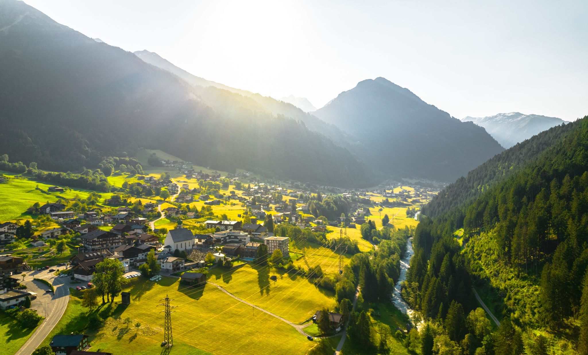
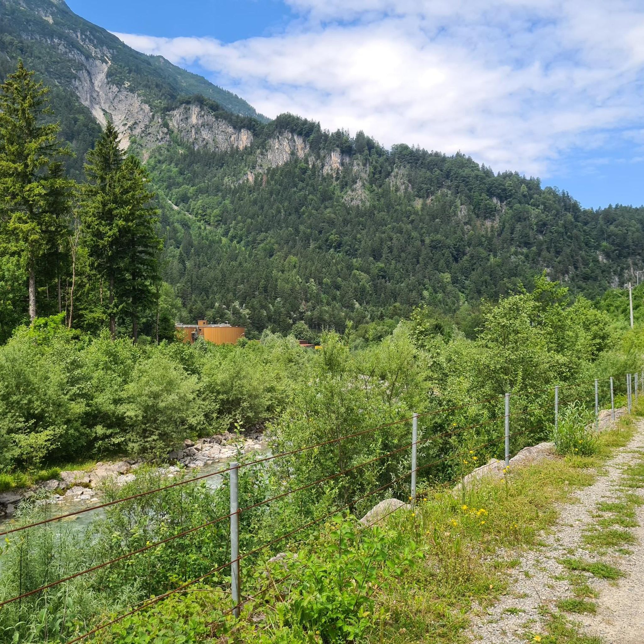
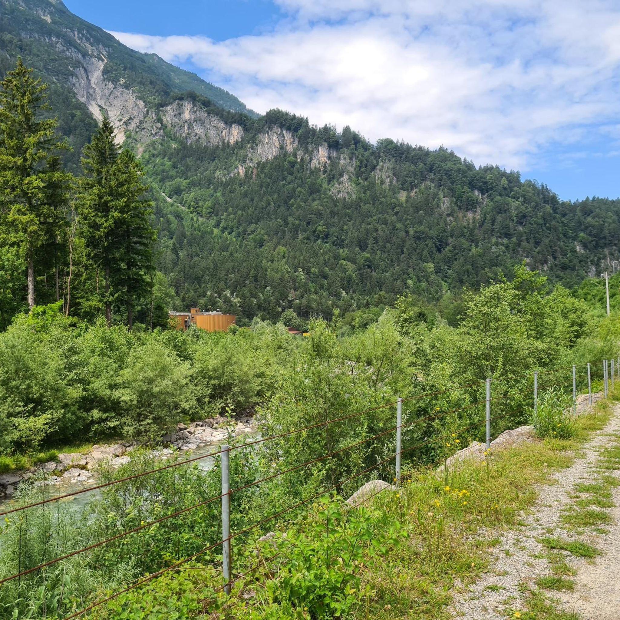
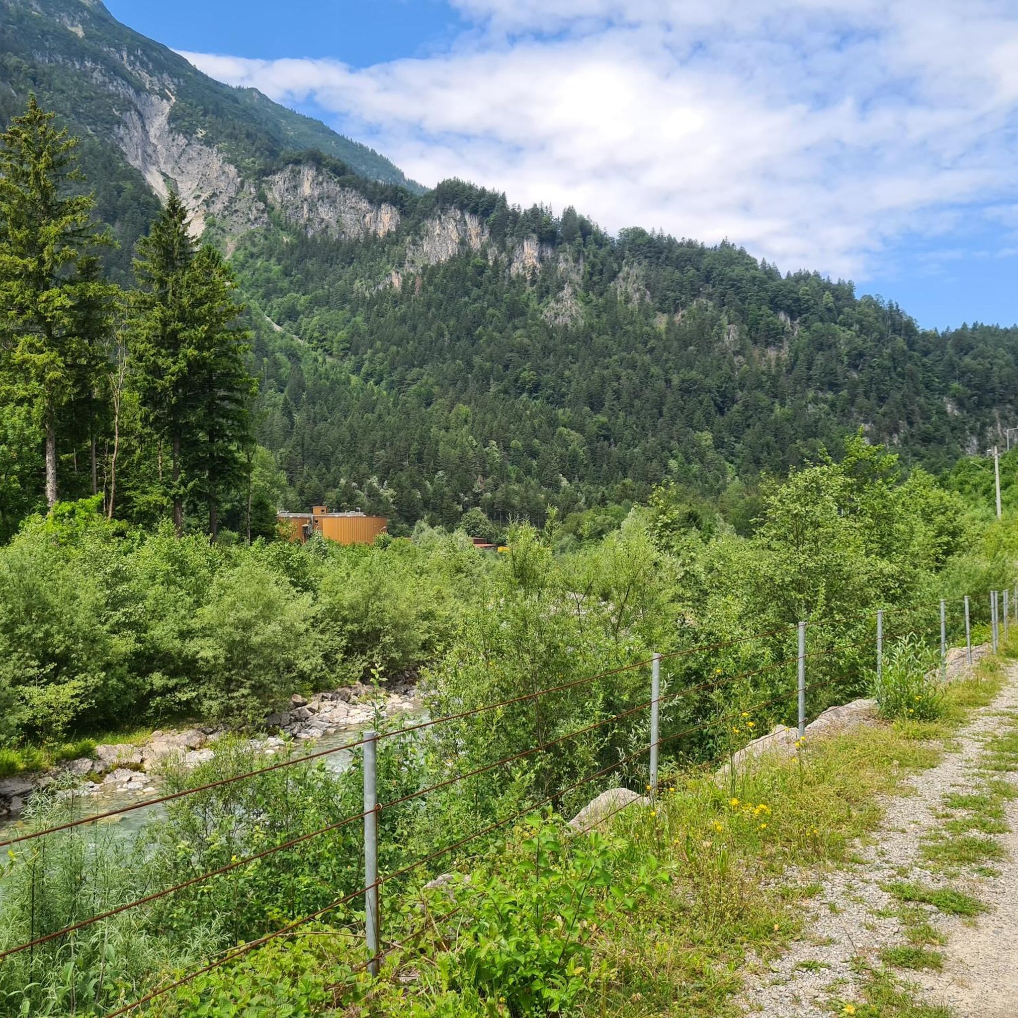
장크트 안톤 임 몬타폰 주변의 다른 모험

커뮤니티 팁

인기 있는 하이킹 코스인 Gauertaler AlpkulTour에는 13개의 나무 조각품이 몬타폰의 문화 경관을 가로질러 이어집니다. 이곳의 13번 정류장인 '게비어바움(Geweihbaum, 뿔나무)'은 사냥과 알프스 농업 간의 밀접하지만 항상 순탄하지만은 않았던 관계를 보여줍니다. 여기서 사용되는 낙하된 뿔은 사냥꾼들이 수집하며 이를 위해 동물을 사냥하지 않는다는 점에서 '사냥꾼과 수집가'라는 명칭은 또 다른 연관성을 만듭니다. 또 다른 나무와 같은 구조물이 만들어졌습니다. 하지만 나무의 왕관은 현지 사냥꾼들이 모두 수집한 뿔(총 무게 약 150kg)로 이루어져 있습니다. https://kfm.at/alpkultour/poi-13-geweihbaum/
1
0
Secluded location, with a beautiful chapel and a great alpine inn. Today easily accessible via a wide gravel road and with a taxi shuttle service from the Bergerhof.
1
0
A nice opportunity for a stopover at 1,883 meters, about an hour from the Rellseck mountain inn. The path is partly muddy even in summer, as it leads through a marshy depression.
1
0

If you want to see the high mountains of the Montafon from one place, this is the place for you. Sulzfluh, the 3 Towers, Saulakopf, Schesaplana, and Zimba are all lined up before you.
1
0

The ascent/descent is quite challenging, and the warning before starting the climb should not be taken lightly. A head for heights and surefootedness are required. The panorama at the summit cross is fantastic, however.
2
0


It is not without reason that SAC T6 involves a lot of climbing, and in the last part a climb on a steep ridge. No fear of heights is NECESSARY and ropes may also be useful
2
0

After a strenuous climb, you can either sit under the cross in the sun or in the shade of the trees. You have a wonderful view of the famous three towers, Drusenfluh to the right and Sulzfluh to the left. To the right of the three towers, a huge mountain rises from far away, that is the schesaplana.
1
0
장크트 안톤 임 몬타폰 주변에서 가장 인기 있는 명소


더 살펴보기
다른 지역의 최고의 산악 하이킹 & 경로를 살펴보세요.
