축제 커뮤니티 최고의 워킹 & 하이킹 경로
4.5
(4646)
41,685
등산객
77
하이킹
Komoot에 등록된 축제 커뮤니티 내 트레일 및 경로 컬렉션 중에서 하이킹과 워킹을 가장 멋지게 즐길 수 있는 곳을 알려드릴게요. 아래에서 각 경로의 상세 정보를 모두 확인한 후, 축제 커뮤니티 속 자연에서 즐거운 시간을 누려보세요.
마지막 업데이트: 8월 30, 2026
4.6
(77)
401
등산객
10.3km
03:30
540m
540m
보통 하이킹. 좋은 체력 필요. 실력과 관계없이 누구나 쉽게 갈 수 있는 길.
4.1
(26)
57
등산객
4.98km
01:20
50m
60m
Hike the easy 3.1-mile Tanygrisiau reservoir loop in Snowdonia National Park, offering views of the reservoir and industrial heritage.

무료 회원 가입
4.3
(3)
19
등산객
17.7km
05:26
630m
630m
Hike the difficult 11.0-mile Ysgafell Wen ridge loop in Snowdonia National Park, featuring rugged terrain and panoramic lake views.
4.5
(47)
210
등산객
10.5km
03:30
480m
480m
보통 하이킹. 좋은 체력 필요. 실력과 관계없이 누구나 쉽게 갈 수 있는 길.
4.6
(35)
177
등산객
8.59km
02:55
430m
430m
보통 하이킹. 좋은 체력 필요. 실력과 관계없이 누구나 쉽게 갈 수 있는 길.
더 다양한 경로와 다른 탐험가들의 추천을 살펴보세요.
무료 회원 가입
이미 komoot 계정이 있나요?
투어 추천은 다른 사람들이 komoot에서 완료한 수천 개의 활동을 바탕으로 구성되어 있습니다.
오늘 무료 계정으로 시작하세요
다음 모험이 기다리고 있어요.
로그인 또는 가입하기

축제 커뮤니티 주변의 다른 모험


커뮤니티 팁

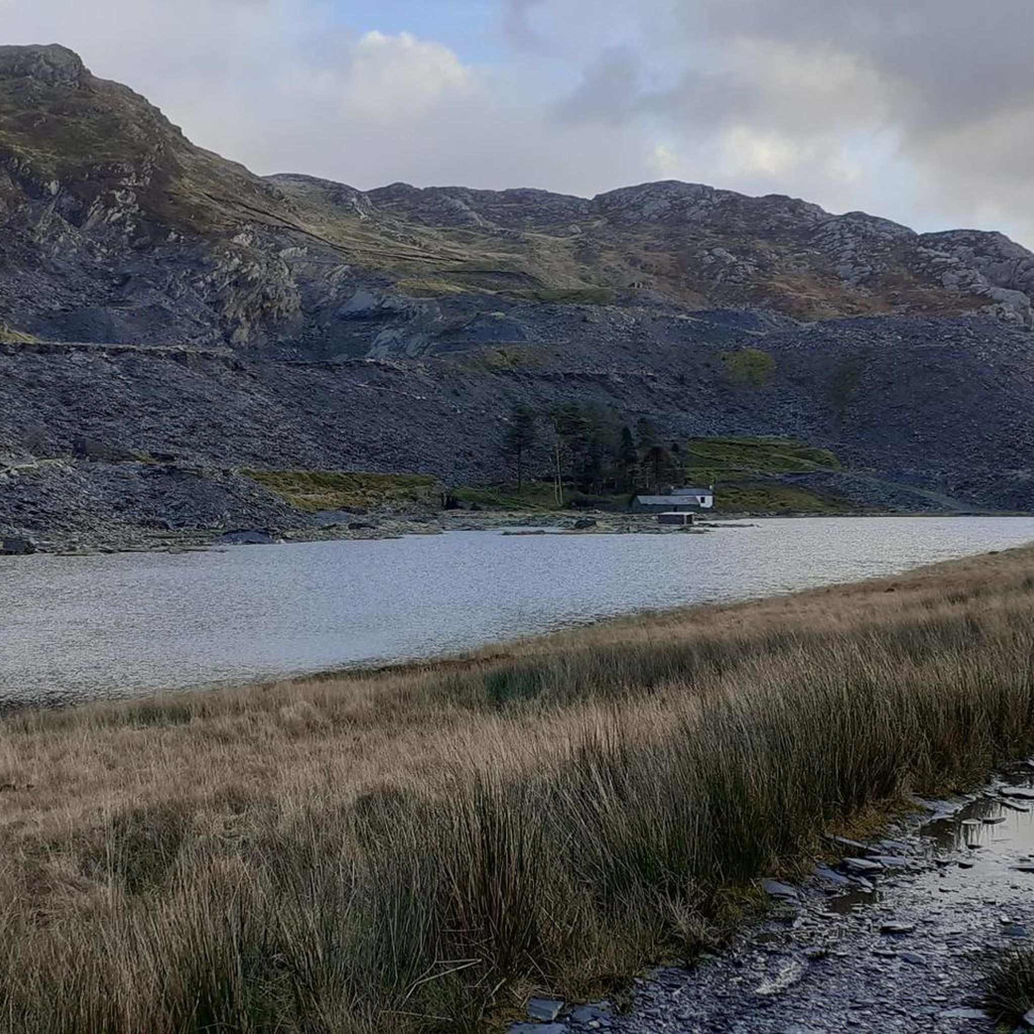
Cwmorthin Slate Quarry는 Tan y Grisiau 위의 마법 같은 산업 계곡으로, 거대한 작업물과 폐허로 웨일스의 산업 유산을 강조하는 인상적인 지역입니다. 1810년에서 1939년 사이에 운영되었으며 광범위한 궤도와 기계로 서비스되던 5개의 다른 지하층이 있었습니다. 슬레이트 공장과 같은 많은 지상 건물은 여전히 볼 수 있습니다. 사진작가라면 이른 여름 빛이나 추운 겨울 안개 속에서 이곳을 방문해야 합니다.
0
0
해발 676미터(2218피트)의 Moel Druman은 Moelwyns 지역의 영국 지정 Nuttall 봉우리입니다. Allt-fawr의 부속 봉우리입니다. 일반적인 하이킹 코스는 A470 도로의 Crimea Pass에서 시작됩니다. 이 코스는 풀밭 능선, 암석 지대, 때로는 길이 없는 지형이 혼합된 멋진 전망을 제공합니다. 이 하이킹은 보통 인근의 Allt Fawr 및 Ysgafell Wen 봉우리를 함께 오릅니다.
0
0
Ysgafell Wen North Top(해발 669미터/2,195피트)은 이곳 Moelwyns에 있는 영국의 지정된 너탈(Nuttall)입니다. Llynnau'r Cwn 근처의 Ysgafell Wen 주봉에서 바로 북쪽에 위치한 이곳은 스노던 산맥, Moel Siabod, 해안의 극적인 전망을 제공하는 바위가 많고 한적한 봉우리입니다. 이곳은 외딴 지역이며 습지가 될 수 있지만, 경치는 그럴 만한 가치가 있습니다.
0
0

The long abandoned Barracks and Mill buildings of Rhosydd Quarry in the Moelwyn mountains of North Wales on a changeable day last September. A break in the heavy cloud allowed a burst of sunlight through that lit up the shiny slate rubble to make it look a bit like water. The dark buildings stood out against the lower slopes of Foel Ddu.
0
0
The flat topped summit can be difficult in mist, hard to find the very top, and also to navigate off to find the route to Moelwyn Fach - you have to double back, and then descend to the right.
0
1
The spartan barracks at Rhosydd, a hard place to live and work, not far from the summit of a mountain.
0
0

Car park gets full up top so park sensibly park close to next car gives more space for others. Don’t park in front of gate as this is used by farmer Go Below and mountain/cave rescue. More parking available at bottom of hill.
0
0

Slate was mined here above and below ground from about 1830. The remote location proved difficult, and a series of financial troubles hampered the quarry. It shut during WW1 and reopened afterwards until finally closing in 1948. At it's peak, this was the second-largest underground slate mine in North Wales. Today you can explore the spoil and some of the old machinery.
0
0
축제 커뮤니티 주변에서 가장 인기 있는 명소


더 살펴보기
다른 지역의 최고의 하이킹를 살펴보세요.
