경로

플래너

기능

업데이트

App

로그인 또는 가입

앱 다운로드

로그인 또는 가입

경로
하이킹
영국
웨일즈
노스 웨일즈

귀네드

귀네드 최고의 워킹 & 하이킹 경로

4.6

(12511)

119,242

등산객

1,979

하이킹

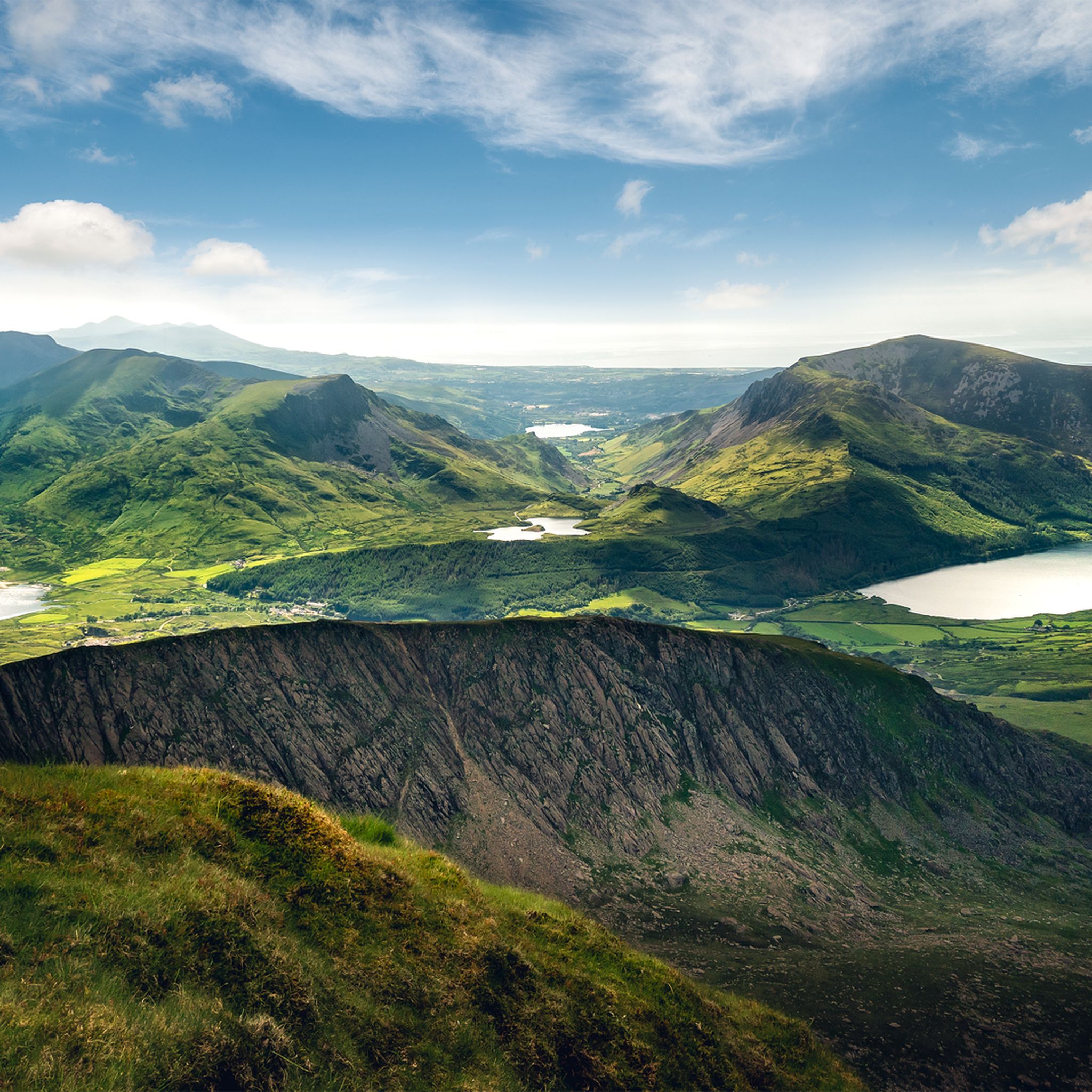
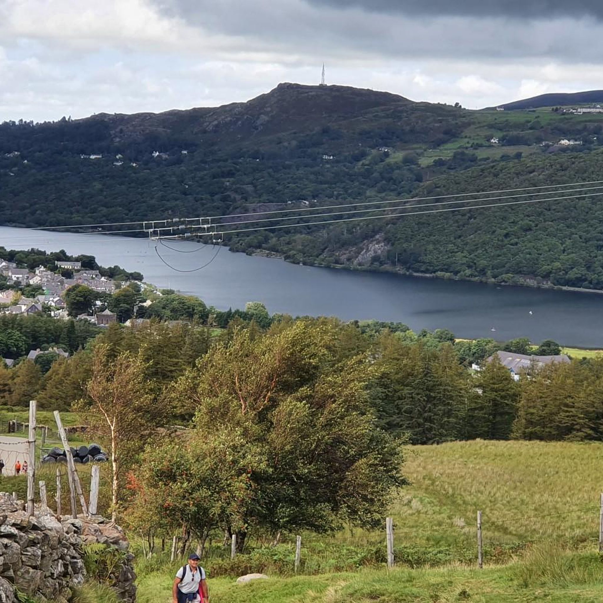
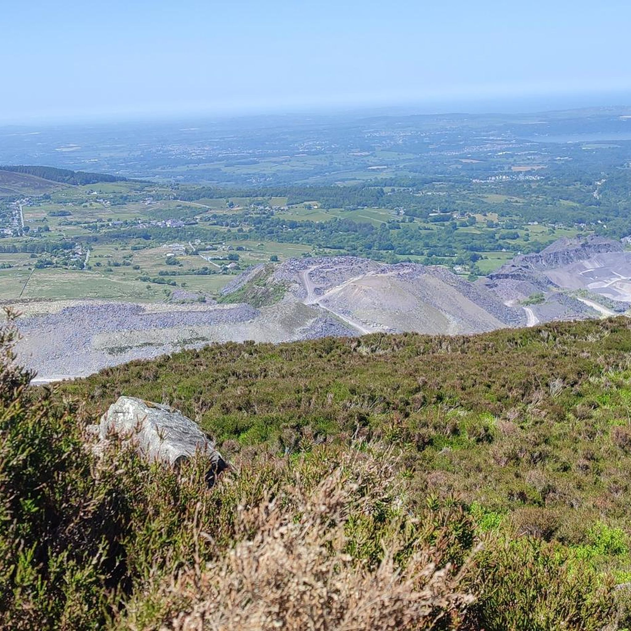
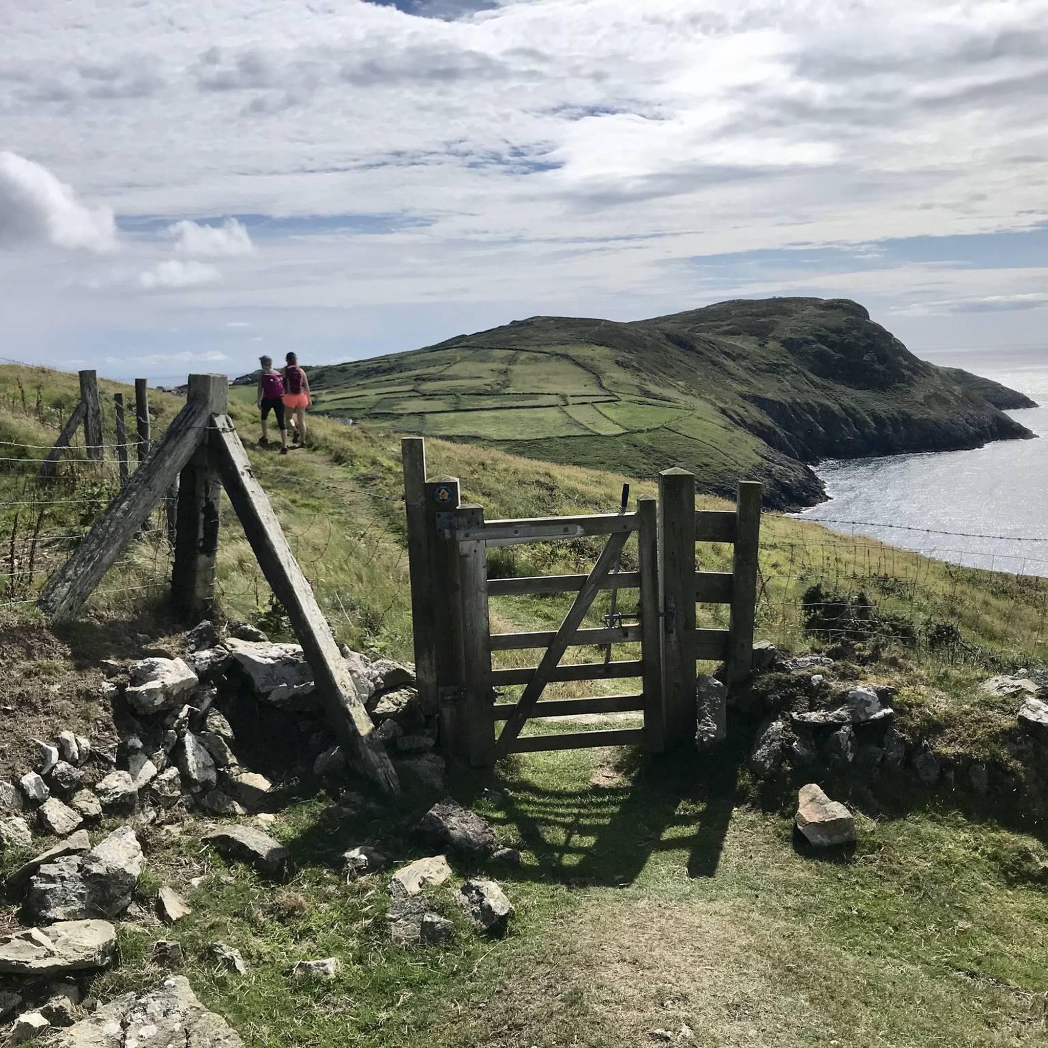
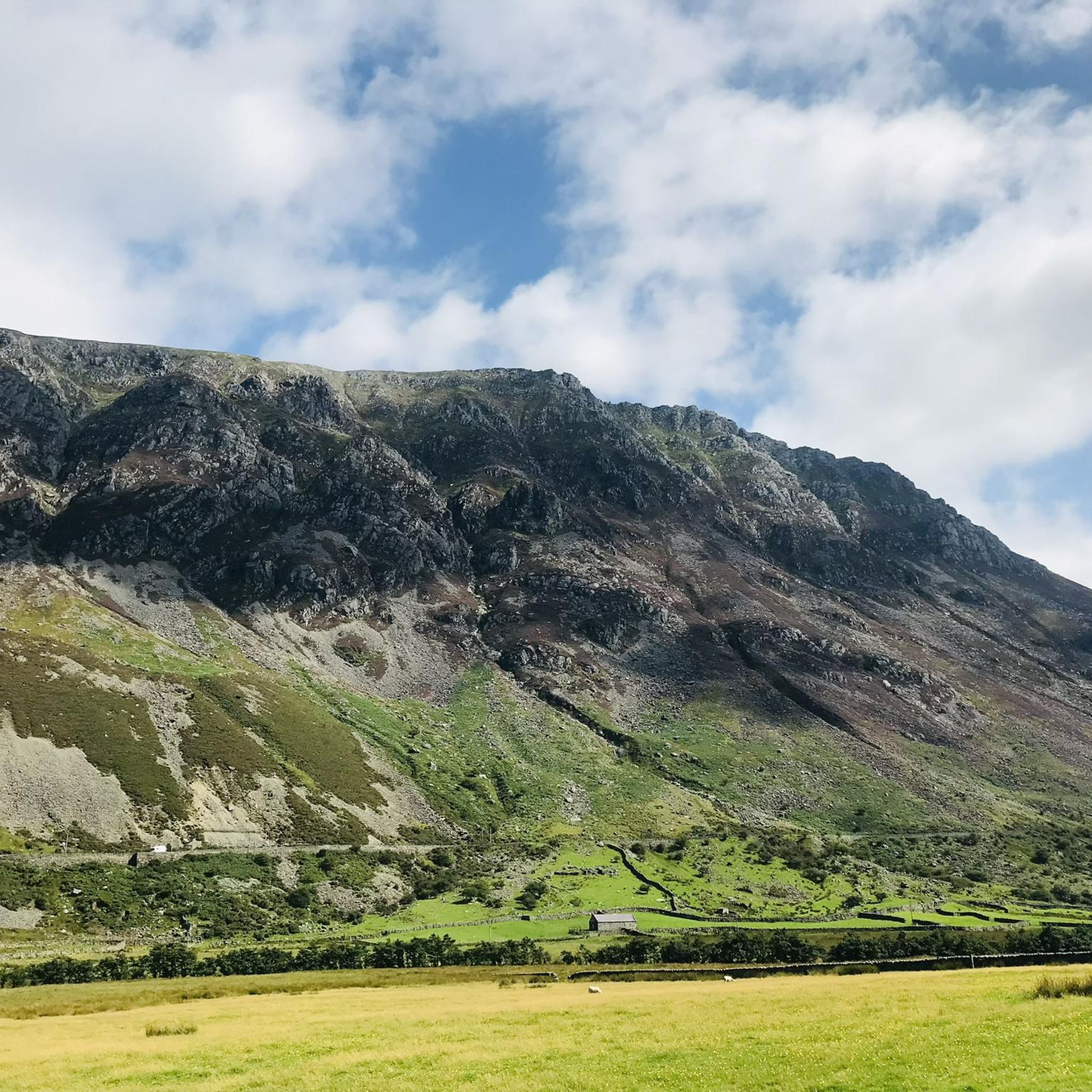
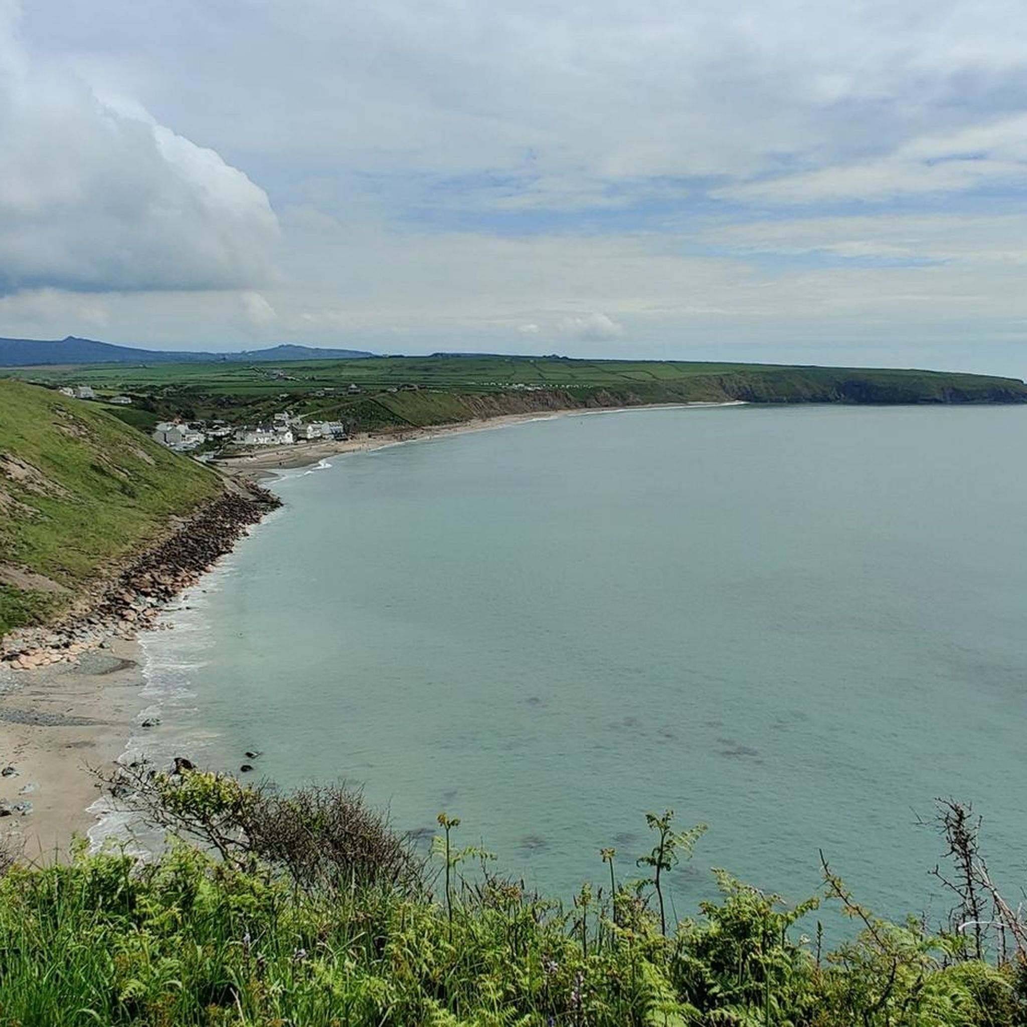
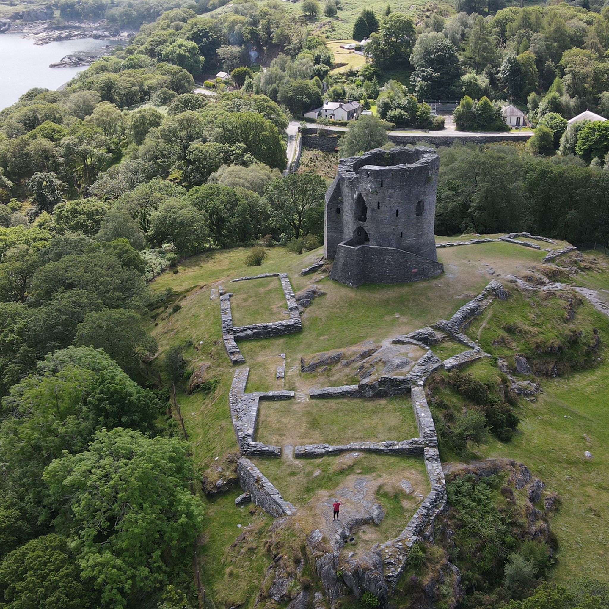
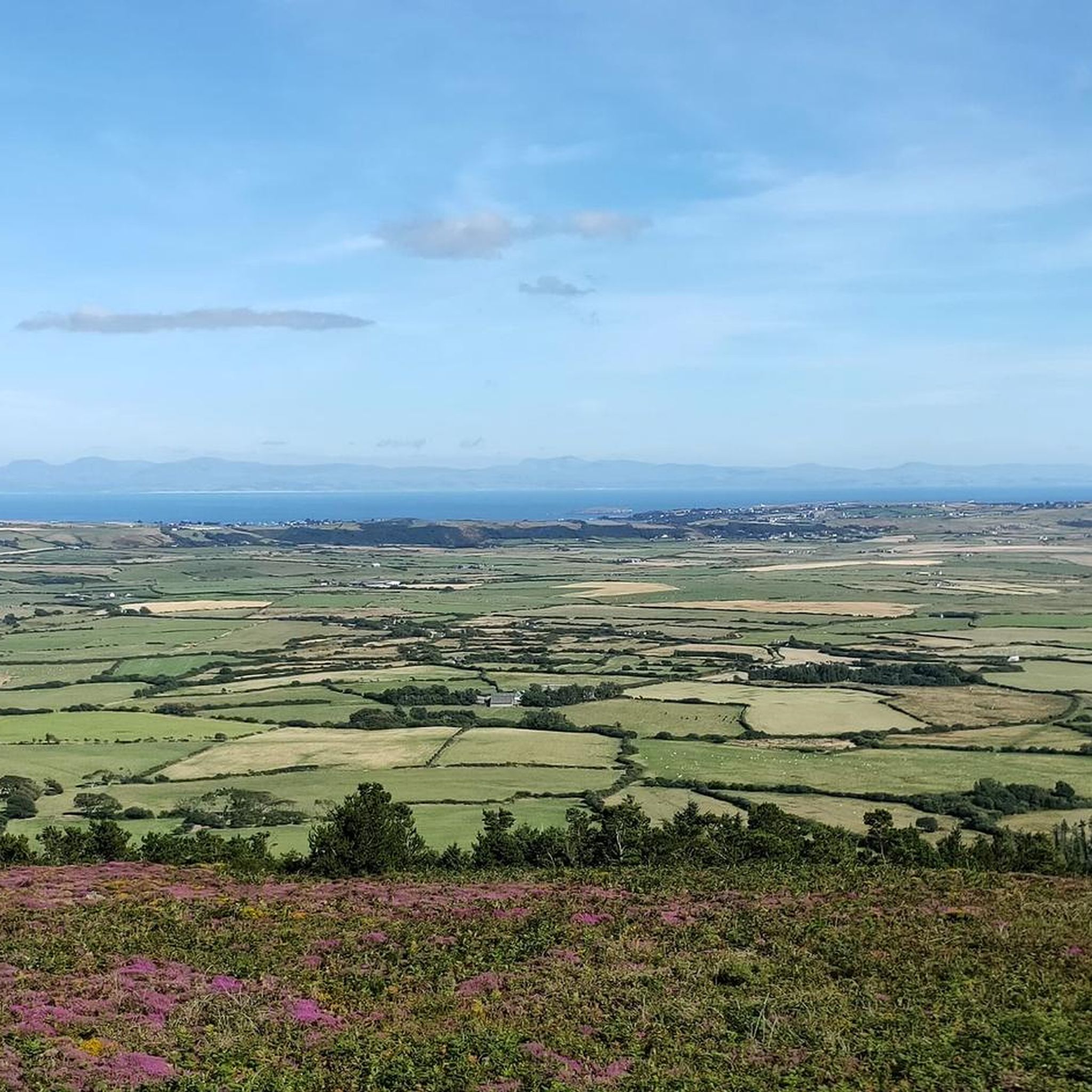
귀네드에서 하이킹하며 노스 웨일즈 구석 부분까지 살펴볼까요? 귀네드에 있는 모든 하이킹 및 워킹 경로 컬렉션 중 가장 멋진 하이킹 경로를 엄선하여 소개해드릴게요. 다른 하이커가 공유한 실제 팁과 사진을 살펴보고 후기를 읽으며 마음에 드는 귀네드 워킹 경로를 찾아보세요.

마지막 업데이트: 7월 7, 2026

4.8

(904)

9,216

등산객

#1.

Pyg Track & Miners Track 루프 Yr Wyddfa / Snowdon에서 Pen y Pass — Parc Cenedlaethol Eryri / Snowdonia National Park

12.3km

04:56

680m

690m

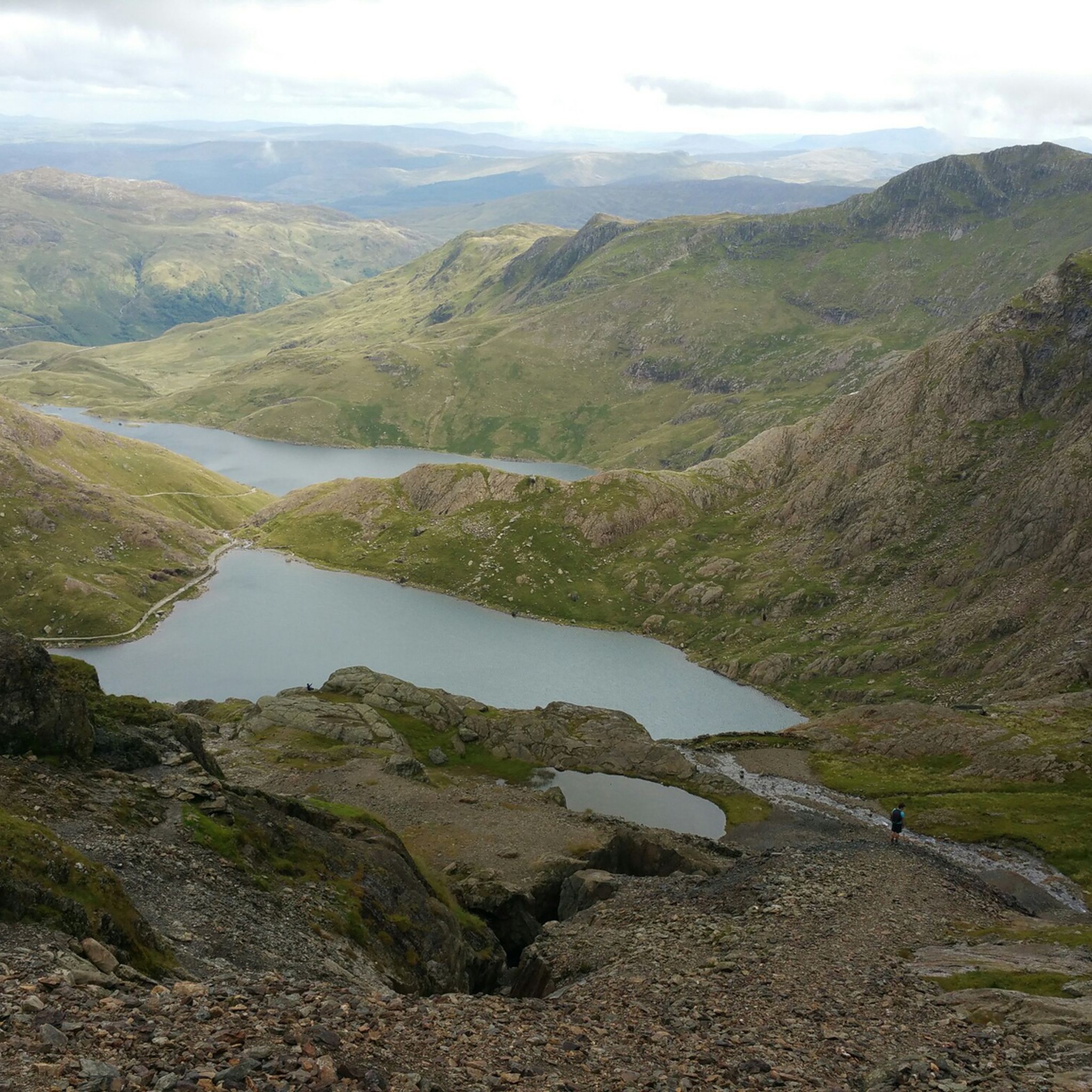
Embark on the Snowdon via Pyg and Miners' Track Loop, a moderate hiking route that takes you to the summit of Yr Wyddfa. This 7.7 miles (12.3 km) journey involves a significant ascent of 2245 feet (684 metres), typically completed in about 4 hours and 56 minutes. As you climb the Pyg Track, you'll experience dramatic mountain scenery, with views opening up towards Llanberis Pass and the imposing cliffs of Y Lliwedd. The return via the Miners' Track offers a different perspective, tracing the shores of Llyn Llydaw and Llyn Glaslyn, providing a varied and engaging experience.

Your adventure begins at Pen-y-Pass, a high starting point that helps reduce the overall vertical climb to Snowdon's summit. Be aware that parking here is very limited and often requires advance booking, particularly during busy periods. It's highly recommended to explore public transport options to reach the trailhead, ensuring a smoother start to your hike. Both the Pyg and Miners' Tracks are rated as strenuous by the National Park Authority, so come prepared with a good level of fitness and essential navigation skills for a safe and enjoyable outing.

This popular circular trail offers more than just a summit experience; it's a journey through the rich history of Eryri / Snowdonia National Park. The Miners' Track, in particular, follows the historic routes once used by quarrymen, passing old mining structures and a notable stone causeway across Llyn Llydaw. This blend of natural beauty and industrial heritage makes the route a distinctive way to explore Snowdon's majestic landscape.

기기에서 길안내

휴대폰으로 전송

저장

보통

The Cadair Idris loop on the Minffordd path offers a challenging hike, covering 6.5 miles (10.5 km) with a significant elevation gain of 2776 feet (846 metres). You can expect to spend around 5 hours and 8 minutes on this difficult route. It begins with a steep climb through the wooded gorge of Nant Cadair, where you will see impressive waterfalls. The path then opens up, circling the dramatic glacial lake of Llyn Cau, nestled beneath towering cliffs. As you ascend towards the summit, Penygadair, you'll get glimpses of the peak and eventually be rewarded with panoramic views across southern Snowdonia and the coast.

This difficult route requires a good level of fitness due to its consistent steepness. While the path is generally easy to follow, some sections are very steep and can be tricky, with loose rocks underfoot. Be prepared for a demanding hike, and note that navigation skills are essential for certain parts of the trail. Always check local conditions before you go.

The Minffordd path is celebrated as one of the most picturesque routes up Cadair Idris, offering diverse landscapes from ancient woodlands to expansive mountain vistas. Cadair Idris, meaning "Idris's Chair," is steeped in Welsh mythology; legends say anyone spending a night on the peak will wake up a poet or a "madman." This trail also provides a less crowded experience compared to other peaks in northern Snowdonia, making its challenging ascent even more rewarding.

어려움
guide_signup
저희가 komoot 모바일 앱로 길을 안내해 드리겠습니다.
무료 komoot 계정로 끝없는 야외 모험을 손쉽게 찾고, 맞춤 설정하며 길안내할 수 있어요.

무료 회원 가입

Embark on a difficult 8.2-mile (13.3 km) loop up Snowdon via the Watkin Path, starting from Nant Gwynant. This route offers a significant challenge with 3212 feet (979 metres) of elevation gain, typically taking around 5 hours and 21 minutes to complete. You will begin by winding through ancient woodlands and past the Rhaeadrau Waterfalls, before the path opens up to reveal impressive mountain views and eventually leads to a tough uphill scree climb towards the summit, offering vistas of Snowdon's South Ridge and Yr Aran.

Planning your hike requires good fitness, sturdy shoes, and sure-footedness, especially for the upper sections where the terrain becomes loose, rocky, and very steep. The path starts at a low elevation, giving it the greatest total ascent of all Snowdon routes. In winter, this challenging part demands extreme care and appropriate equipment like micro-spikes or crampons, as the path can lose definition and navigation becomes difficult in poor weather.

The Watkin Path holds historical importance as Britain's first designated footpath, opened in 1892 by Prime Minister William Gladstone, whose speech from Gladstone Rock is a notable detail along the way. This trail is often quieter than other routes, providing a more serene experience, and offers a greater variety of natural scenery, from woodlands to open mountain. You will also pass Bwlch y Saethau, a pass steeped in legend, believed to be where King Arthur fought his treacherous son Mordred.

어려움

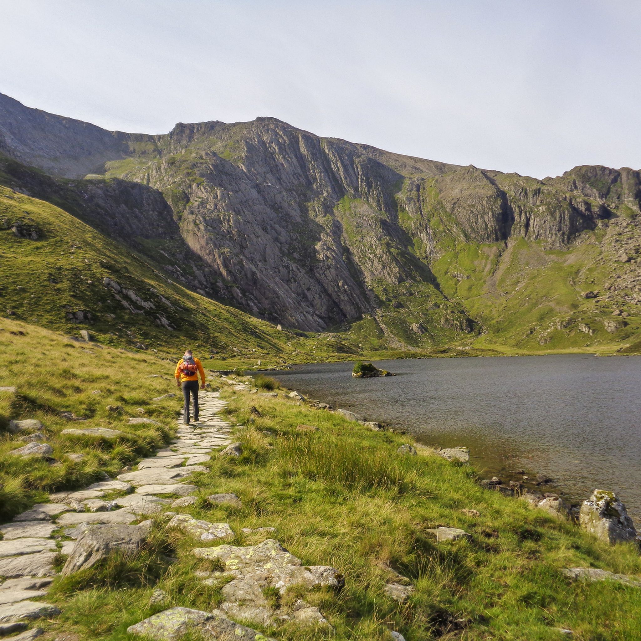
Embark on the Llyn Idwal loop from Ogwen Cottage, an easy 3.0-mile (4.8 km) hike that takes about 1 hour and 32 minutes to complete, with an elevation gain of 658 feet (201 metres). You will experience a dramatic glacial landscape with rugged, rocky terrain and uneven paths. The trail offers spectacular views of the crystal-clear Llyn Idwal, nestled within Cwm Idwal, and is framed by towering peaks like Tryfan and Glyder Fawr. Keep an eye out for the prominent Idwal Slabs, popular with rock climbers, and cascading streams along the way.

Starting from Ogwen Cottage, this route is generally accessible for most fitness levels, providing a mountain experience without excessive physical effort. However, some sections are moderately strenuous with steep, rough mountain paths, especially as you gain height towards the southern end of the lake. Due to the stony and sometimes boggy ground, sturdy hiking boots are essential for sure-footedness, particularly after rain. The path is not suitable for wheelchairs or pushchairs.

This area is home to Cwm Idwal National Nature Reserve, Wales' first, renowned for its impressive ice-sculpted landscape and unique plant life. The crater-like Cwm Idwal is a result of significant geological activity, making it one of the best places to observe glacial aftermath in the National Park; Charles Darwin even conducted scientific work here. You can also see iconic features like the

초급

4.8

(129)

1,561

등산객

어려운 하이킹. 우수한 체력 필요. 대부분 갈 수 있는 길. 미끄러지지 않게 조심해야 함.

어려움

The Snowdon Horseshoe is a difficult hiking route that promises epic mountain scenery and panoramic views across Eryri / Snowdonia National Park. This circular trail covers 7.7 miles (12.4 km) and involves a significant 2853 feet (870 metres) of elevation gain, typically taking around 5 hours and 50 minutes to complete. As you navigate the route, you will experience the vast Cwm Dyli, with the dark waters of Llyn Llydaw visible far below. You'll also traverse iconic sections like the Crib Goch Ridge, a true knife-edge scramble, before summiting four major peaks, including Snowdon Summit (Yr Wyddfa) and Y Lliwedd. Prepare for expansive vistas across the rugged peaks of Snowdonia on this challenging adventure.

Before you set out, be aware that this route is extremely challenging and demands a strong head for heights, good physical fitness, and prior scrambling experience. It is crucial to avoid the Snowdon Horseshoe in poor weather, high winds, or icy conditions, as these can make the route dangerous. The trailhead at Pen y Pass is a popular starting point, but parking often requires advance booking, so plan your visit carefully to secure your spot. Always check local conditions and forecasts before attempting this demanding hike.

This iconic route is renowned for its dramatic landscape, wrapping around the vast Cwm Dyli and offering a unique perspective of the region's geology. It stands out in Snowdonia for its combination of high peaks and exposed ridge walking, making it a true test of mountain skills. The trail's distinct character, with its challenging scrambles and breathtaking vistas, sets it apart as a premier mountaineering experience in the park. It's a journey that connects you deeply with the rugged beauty and ancient history of Eryri.

어려움

Embark on the Y Garn to Glyder Fach loop for a challenging hike through Snowdonia National Park's dramatic terrain. This moderate route covers 5.6 miles (9.0 km) with a significant elevation gain of 2785 feet (849 metres), typically taking around 4 hours and 21 minutes to complete. You will navigate rocky paths, scree sections, and bouldery ascents, experiencing the

보통

Embark on an easy 2.6-mile (4.2 km) hike around Llyn Idwal, a crystal-clear lake nestled within the dramatic glacial landscape of Eryri (Snowdonia) National Park. This loop, which you can complete in about 1 hour and 11 minutes with an elevation gain of 312 feet (95 metres), offers breathtaking views of ice-sculpted Cwm Idwal and towering peaks like Tryfan. While the path is generally stony and clear, be prepared for sections that can be rugged, rocky, or slippery, especially as you pass under Devil's Kitchen, an area known for its huge boulders.

Starting from Ogwen Cottage, the trail is easily accessible, making it suitable for most skill levels. The cottage itself provides convenient amenities, including a car park, information, and refreshments, ensuring a smooth start and finish to your adventure. Although the loop itself avoids significant climbing, some sections leading up to the lake involve steeper, rough mountain paths, so wear appropriate footwear and be ready for varied terrain.

This trail offers a unique opportunity to experience a dramatic mountainous environment without excessive physical effort. Cwm Idwal holds the distinction of being Wales' oldest National Nature Reserve, showcasing a unique ice-sculpted valley and world-famous rock formations like the Idwal Slabs. The combination of the serene Llyn Idwal and the imposing surrounding peaks makes this a distinctive and memorable walk within the national park.

초급

Embark on a challenging yet rewarding hike through the dramatic glacial landscape of Cwm Idwal and up Y Garn, starting from Ogwen Cottage. This moderate to hard loop covers 4.6 miles (7.3 km) with a significant elevation gain of 1985 feet (605 metres), typically taking around 3 hours and 6 minutes to complete. You will navigate varied terrain, from stone-surfaced paths around tranquil Llyn Idwal to rough, steep ground and scrambling sections through the iconic Devil's Kitchen, all while surrounded by high crags and breathtaking panoramic views across Snowdonia from Y Garn's summit.

Before you set out, be prepared for demanding conditions; good walking boots are essential due to uneven and potentially slippery surfaces, especially after rain. The trail is exposed, so you should be ready for changing weather and have some mountain experience. The ascent to Y Garn, particularly via Devil's Kitchen, requires sure-footedness and a good level of fitness, as it involves sustained steep climbs and descents. Always check the weather forecast before heading out to ensure a safe and enjoyable experience.

This area holds immense geological and ecological significance, with Cwm Idwal being Wales' first designated National Nature Reserve. It showcases spectacular glacial landforms and unique geology, which even Charles Darwin studied in 1842. The route is also home to rare Arctic and alpine plants, adding to its biodiversity. Y Garn, the tenth highest mountain in Wales, offers some of the best views in Snowdonia and is often a quieter alternative to other popular peaks, providing a memorable connection to the region's natural history and beauty.

보통

Embark on the challenging Rhyd Ddu and Snowdon Ranger Paths Loop, a difficult hiking route that spans 11.0 miles (17.8 km) through Snowdonia National Park. You will ascend a significant 3493 feet (1064 metres) in elevation, offering a rewarding workout with continuous mountain vistas. Expect to spend around 6 hours and 27 minutes completing this demanding circuit, where the rugged terrain and expansive views define the experience.

Before you set out, be aware that this is a strenuous hike requiring good fitness and navigational skills. The Rhyd Ddu Path, in particular, features rocky, very steep sections and an exposed, narrow ridge over Bwlch Main, so a good head for heights is essential. Parking is conveniently available at the Rhyd Ddu car park, which also provides facilities like toilets and a nearby pub for post-hike refreshments. Plan to start early to allow ample time for completion.

This loop offers a distinct perspective of Yr Wyddfa (Snowdon) compared to its more frequented ascents, providing a sense of solitude. As you climb the Rhyd Ddu Path, you will be treated to striking views towards Moel Hebog and the Nantlle Ridge. The Llechog ridge further enhances the experience with expansive vistas across Cwm Clogwyn, leading to the panoramic views from Snowdon Summit itself before your descent on the Snowdon Ranger Path.

어려움
무료 회원 가입 후 귀네드 하이킹 경로를 1,970개 더 확인하세요

더 다양한 경로와 다른 탐험가들의 추천을 살펴보세요.

무료 회원 가입

이미 komoot 계정이 있나요?

투어 추천은 다른 사람들이 komoot에서 완료한 수천 개의 활동을 바탕으로 구성되어 있습니다.

오늘 무료 계정으로 시작하세요

다음 모험이 기다리고 있어요.
로그인 또는 가입하기

귀네드 주변 인기 장소

스노도니아 하이킹

베드저러트 하이킹

Llanberis 하이킹

Llanllechid 하이킹

Llŷn AONB (AHNE Llŷn) 하이킹

Llandygai 하이킹

Aberdaron 하이킹

린 페리스 하이킹

린 이드월 하이킹

Betws Garmon 하이킹

귀네드의 다른 모험

에리리의 산악한 심장을 거쳐 - 스노우도니아 방법

하이킹 컬렉션 에 의해

Alex Foxfield

커뮤니티 팁

Dominiek Van Dooren
5월 11, 2026, Penygadair Summit, Cadair Idris

전설에 따르면 카더는 이드리스 가우르라는 거인의 이름을 따서 명명되었습니다. '카데어 이드리스'는 영어로 '이드리스의 의자'를 의미하며, '카더'는 고대 요새를 의미할 수도 있습니다. 이 장소는 카데어 대신 카더 이드리스로 알려져 있지만 두 이름 모두 사용됩니다. 가장 유명한 지역 전설은 산에서 밤을 보내면 미치거나 시인이 된다는 것입니다. (Visit Wales)

번역: Google

6

0

노력할 가치가 있습니다. 정상에서는 모든 방향으로 멋진 전망을 즐길 수 있습니다. 사진으로는 담을 수 없습니다.

번역: Google

6

0

Craig Cwm Amarch는 멋진 Llyn Cau 호수를 둘러싸고 있는 Craig Cau 주변의 짧고 좁은 능선으로 Cadair Idris와 분리됩니다.

번역: Google

7

0

Clive G
3월 25, 2026, Idwal Gorge

이 지역이 한때 석탄 채굴이 활발했던 곳임을 상기시켜 주는 곳으로, 옛 슬레이트 레벨의 일부입니다. 이곳은 Cwm Idwal 높은 곳에 있는 데블스 키친이 아닙니다.

번역: Google

0

0

Clive G
2월 19, 2026, Gladstone Rock

Where Gladstone gave his Justice for Wales speech.

0

0

The Devil’s Kitchen, known in Welsh as Twll Du ("Black Hole"), is a massive, dark crack in the basaltic cliffs of Clogwyn y Geifr, towering over the southern end of Llyn Idwal. Why the Name? It earned its English nickname because of the plumes of mist or steam that frequently rise from the chasm. To early observers, this looked like smoke rising from a chimney, leading to the legend that the Devil was busy cooking inside. The Experience The Path: A steep, rocky "staircase" of boulders leads you from the lake shore up toward the Kitchen. It is a strenuous climb that requires sure-footedness, as the ancient rock is often wet and slippery. The Scenery: As you ascend, you pass the Devil’s Appendix (the waterfall mentioned earlier) and gain incredible views back over the Cwm Idwal "amphitheatre." Geology: The area is a world-class geological site. You can see the Idwal Syncline here—a dramatic U-shaped fold in the rock layers caused by tectonic pressure millions of years ago. Botanical Rarety: The humid, sheltered environment of the Kitchen is one of the few places in the UK where rare arctic-alpine plants, like the Snowdon Lily, have survived since the last Ice Age. Once you reach the top of the Kitchen, the landscape flattens out into a high plateau containing the small, eerie lake of Llyn y Cŵn.

0

0

Rhaeadr Idwal is the scenic waterfall formed as the outflow of Llyn Idwal tumbles toward the Ogwen Valley. Cascading over ancient volcanic rock, it is a highlight of the approach path from Ogwen Cottage. Nearby, the Devil’s Appendix plunges 93 meters down the cliffs of Twll Du, making it the tallest single-drop waterfall in Wales. These falls are most dramatic after heavy rain or when frozen into spectacular ice columns in winter.

0

0

Llyn Idwal is a stunning glacial lake nestled in the Glyderau mountains of Eryri (Snowdonia), North Wales. Designated as Wales’ first National Nature Reserve, its dramatic landscape was famously studied by Charles Darwin to prove glacial action. Legend says the lake is named after a drowned prince and that birds refuse to fly over its crystal-clear waters.

0

0

귀네드에서 가장 인기 있는 경로

귀네드 가족 하이킹

귀네드에서 가장 인기 있는 명소

Places to see

Store rating

komoot 모바일 앱으로 영감을 받아보세요

무료 komoot 계정로 끝없는 야외 모험을 손쉽게 찾고, 맞춤 설정하며 길안내할 수 있어요.

또는

지금 komoot에 가입하세요

Store rating

찾고 계신 것을 찾지 못하셨나요?

귀네드에서 더 많은 하이킹를 확인하고 목적지에서 완벽한 경로를 찾아보세요.

발라 호수린 난틀 우차프린 이드월린 아레닉 포어Yr Eifl National Nature Reserve축제 커뮤니티Y FelinheliClynnogBangor에이버 커뮤니티린 크웰린Dolgellau베데스다 커뮤니티남녀공학 아베라트로BontnewyddAberdaronBrithdir And LlanfachrethBuanDyffryn ArdudwyLlanbedrogLlandderfelLlanelltydPorthmadogDyfi Forest애버도비 커뮤니티린 씨엠 바이찬Cors Geirch National Nature ReserveYnys Enlli National Nature ReserveCorrisTywynLlangelyninDolbenmaenLlanllechidArthogLlanddeiniolenHarlechLlanbedrBalaCaernarfonCricciethTudweiliogLlanberisRhinog 국립 자연 보호 구역LlandygaiLlanllyfniLlanrug베드저러트타니그리시아우 저수지BotwnnogBryn-CrugLlanfairLlanfihangel-Y-PennantLlanfrothenLlanwndaMawddwyPennalTrawsfynyddLlanuwchllynLlanycilLlandwrog남녀공학GanllwydLlanenganLlanystumdwyBetws GarmonPentirBarmouth코드 린 y 가네드PistyllWaunfawrLlanegrynTalsarnauLlanaelhaearnNefynMaentwrogPwllheliLlannorPenrhyndeudraeth린 리도린 페리스스노도니아Morfa Harlech National Nature Reserve린 트라우스피니드린 파단Coed TyglasLlŷn AONB (AHNE Llŷn)Cors Gyfelog National Nature ReserveLlangywer

더 살펴보기

다른 지역의 최고의 하이킹를 살펴보세요.

다른 탐험 장소

근처 어드벤처 가이드

Talsarnau 즐길거리

background

새로운 정복을 위한 준비를 하세요

무료로 가입하기

탐험하기
경로경로 플래너기능하이킹MTB 트레일로드 사이클링 경로바이크패킹사이트맵
앱 다운로드
소셜 미디어에서 팔로우하기

© komoot GmbH

개인 정보 보호 정책