필닝 앤 세번 비치 최고의 워킹 & 하이킹 경로
4.5
(1121)
11,850
등산객
452
하이킹
Komoot에 등록된 필닝 앤 세번 비치 내 트레일 및 경로 컬렉션 중에서 하이킹과 워킹을 가장 멋지게 즐길 수 있는 곳을 알려드릴게요. 아래에서 각 경로의 상세 정보를 모두 확인한 후, 필닝 앤 세번 비치 속 자연에서 즐거운 시간을 누려보세요.
마지막 업데이트: 10월 22, 2026
4.2
(6)
158
등산객
4.44km
01:08
10m
10m
초급용 하이킹. 쉽게 걸을 수 있는 길.
4.8
(5)
127
등산객
3.75km
00:57
10m
10m
초급용 하이킹. 쉽게 걸을 수 있는 길.

4.7
(3)
57
등산객
9.88km
02:30
20m
20m
보통 하이킹. 좋은 체력 필요. 쉽게 걸을 수 있는 길.
4.8
(5)
12
등산객
7.22km
01:49
10m
10m
초급용 하이킹. 쉽게 걸을 수 있는 길.
5.0
(1)
23
등산객
2.67km
00:41
10m
10m
초급용 하이킹. 쉽게 걸을 수 있는 길.
더 다양한 경로와 다른 탐험가들의 추천을 살펴보세요.
이미 komoot 계정이 있나요?
투어 추천은 다른 사람들이 komoot에서 완료한 수천 개의 활동을 바탕으로 구성되어 있습니다.
오늘 무료 계정으로 시작하세요
다음 모험이 기다리고 있어요.

필닝 앤 세번 비치 주변의 다른 모험

커뮤니티 팁

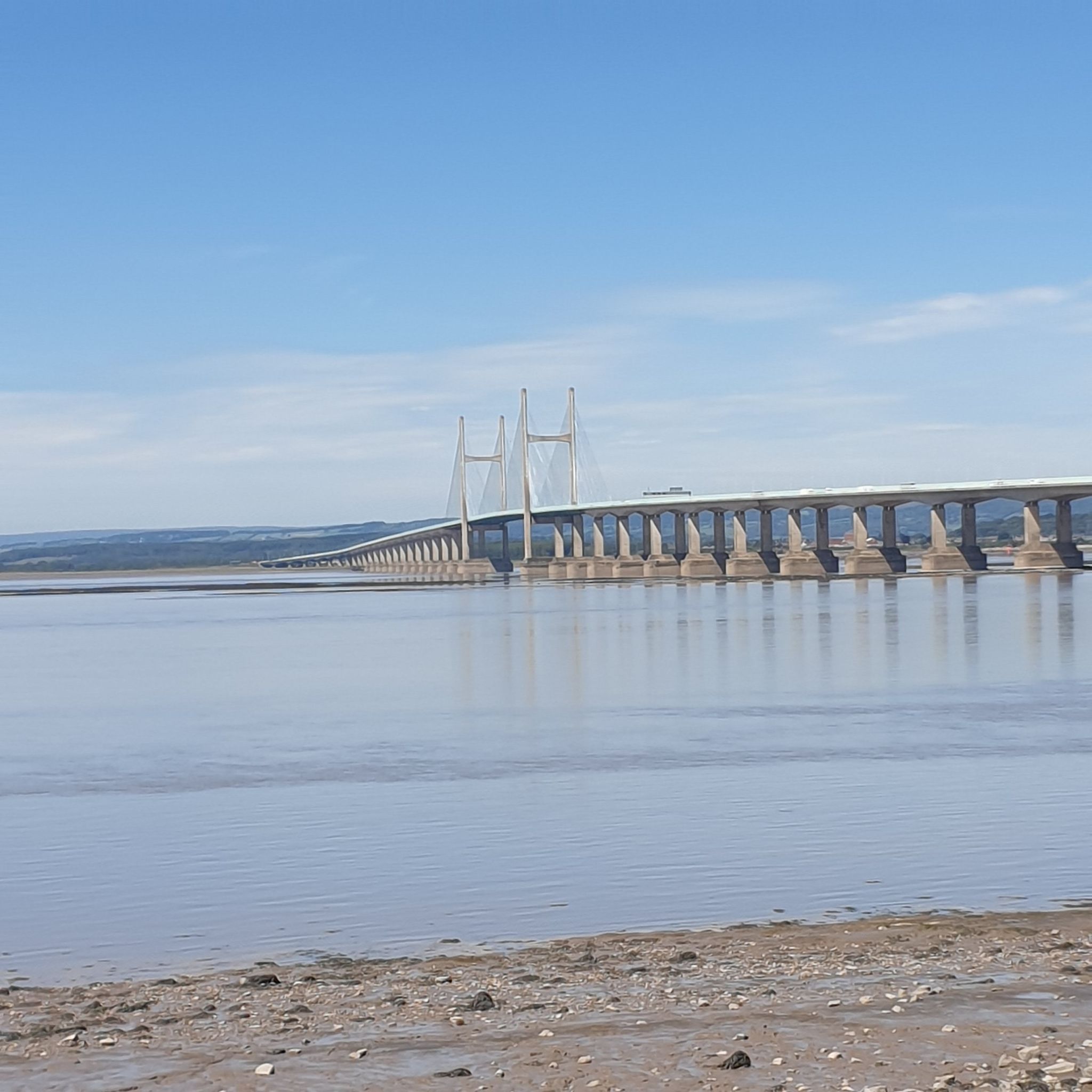
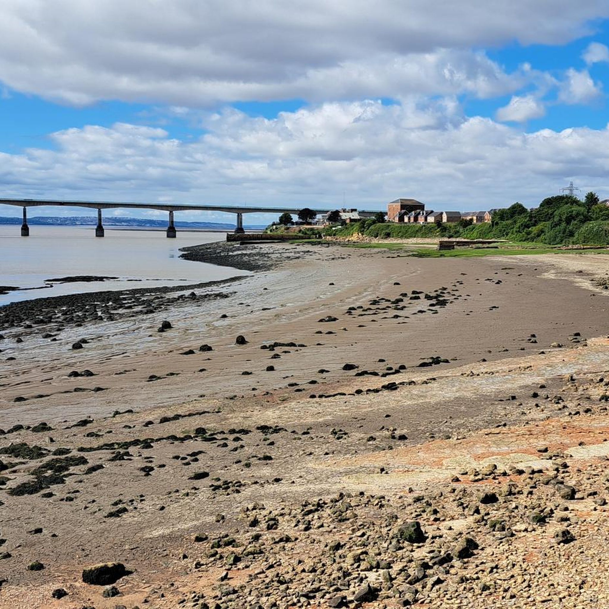
Great views of the Severn crossing and what a structure it is
0
0

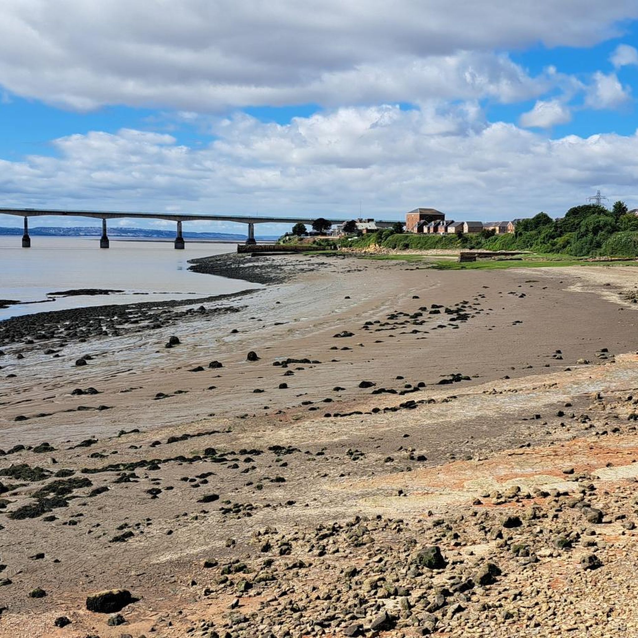
A windswept stopping point for migratory birds, the area is much-loved by residents, birdwatchers, walkers and cyclists and offers incredible views north to the second Severn Crossing and south to the Avonmouth docks – Bristol's maritime portal to the rest of the world.
2
0
The Second Severn Crossing , officially named the Prince of Wales Bridge since July 2018, is the M4 motorway bridge over the River Severn between England and Wales, opened in 1996 to supplement the traffic capacity of the Severn Bridge built in 1966. The bridge is operated by England's National Highways.
2
0
Severn Beach is a village on the Severn Estuary in South Gloucestershire, England. The eastern portal of the Severn Tunnel is on the outskirts of the village. The Severn footpath – on the sea wall – is part of the Severn Way that leads from Gloucester, Slimbridge and the Second Severn Crossing. Extensive sea defences have been constructed and this provides a popular walkway along its length. Originally, the Severn Way finished at Severn Beach, but it has been extended to Bristol.
2
0


Be aware this isn’t a cycle way - it’s a public footpath which is paved for Environment Agency vehicles who have access for maintenance. Lots of the footpath (the England Coast Path now) crosses private land, so you need permission from each landowner. The footpath is used by many dog walkers, elderly, disabled, so any accident and you are liable. Routes 4 and 41 are nearby and great rides - please use those instead or walk the section on the seafront. If cycling groups persist on promoting this route it’s likely that barriers could be added. We want this resource to be safe for all permitted users. Thanks.
0
0
The section from Severn Beach to New Passage on the paved England Coast Path might look tempting to ride, but it is a public footpath only used lots by the elderly, wheelchair users, unleashed dogs, fishermen and young children. Beware as I've hears reports that some locals will you give a lot of grief for riding this section, plus your insurance is void too if you cause an accident... I live nearby and suggest sticking to Route 4, or just enjoy the walk. The bit of Route 4 near Old Passage remains because of sea defence works (reopening late 2022 we're told) but there are nice back roads through Olveston to Aust or Route 41 through Ingst if you plan on crossing the M48 bridge to Chepstow and the more serious hills, beautiful Welsh scenery beyond.
1
0

The Prince of Wales Bridge was opened in 1996 by His Royal Highness, 30 years after the original Severn Bridge was opened by his mother, Queen Elizabeth II. Upon its completion, the M4 was diverted to cross the modernised bridge. The bridge is divided into three sections: a 25-span viaduct on the English side that is 6,900 feet (2,103 m) long; a 24-span viaduct on the Welsh side that is 6,814 feet (2,077 m); and the actual bridge, a 3,110 foot (948 m) structure with a 121 foot (37 m) clearance. The total length is 3.2 miles (5.2 km).
1
0
필닝 앤 세번 비치 주변에서 가장 인기 있는 명소


더 살펴보기
다른 지역의 최고의 하이킹를 살펴보세요.
