안라스 최고의 러닝 경로
4.4
(28)
1,026
달리기 하는 사람
48
러닝
안라스에서 하이킹하며 이스트 티롤 구석 부분까지 살펴볼까요? 안라스에 있는 모든 하이킹 및 워킹 경로 컬렉션 중 가장 멋진 하이킹 경로를 엄선하여 소개해드릴게요. 다른 하이커가 공유한 실제 팁과 사진을 살펴보고 후기를 읽으며 마음에 드는 안라스 워킹 경로를 찾아보세요.
마지막 업데이트: 10월 11, 2026
4.0
(4)
47
달리기 하는 사람
7.34km
00:51
200m
200m
보통 조깅. 좋은 체력 필요. 대부분 포장된 지면. 실력과 관계없이 누구나 갈 수 있음.
32
달리기 하는 사람
15.7km
02:34
960m
960m
어려운 조깅. 우수한 체력 필요. 대부분 포장된 지면. 실력과 관계없이 누구나 갈 수 있음.

34
달리기 하는 사람
21.5km
02:18
210m
210m
어려운 조깅. 우수한 체력 필요. 대부분 포장된 지면. 실력과 관계없이 누구나 갈 수 있음.
4.0
(1)
14
달리기 하는 사람
8.58km
01:05
270m
270m
보통 조깅. 좋은 체력 필요. 대부분 포장된 지면. 실력과 관계없이 누구나 갈 수 있음.
3.0
(1)
12
달리기 하는 사람
10.5km
01:55
840m
840m
어려운 조깅. 우수한 체력 필요. 튼튼한 신발을 신고 미끄러지지 않게 조심해야 하며, 높은 산을 오른 경험이 있어야 함.
더 다양한 경로와 다른 탐험가들의 추천을 살펴보세요.
이미 komoot 계정이 있나요?
투어 추천은 다른 사람들이 komoot에서 완료한 수천 개의 활동을 바탕으로 구성되어 있습니다.
오늘 무료 계정으로 시작하세요
다음 모험이 기다리고 있어요.
안라스 주변 인기 장소

커뮤니티 팁


Very nice cycle path with a great panorama of the mountains.
0
0

...a great region, not just for mountain biking! 🚵 There are many well-developed bike paths and trails!
3
0

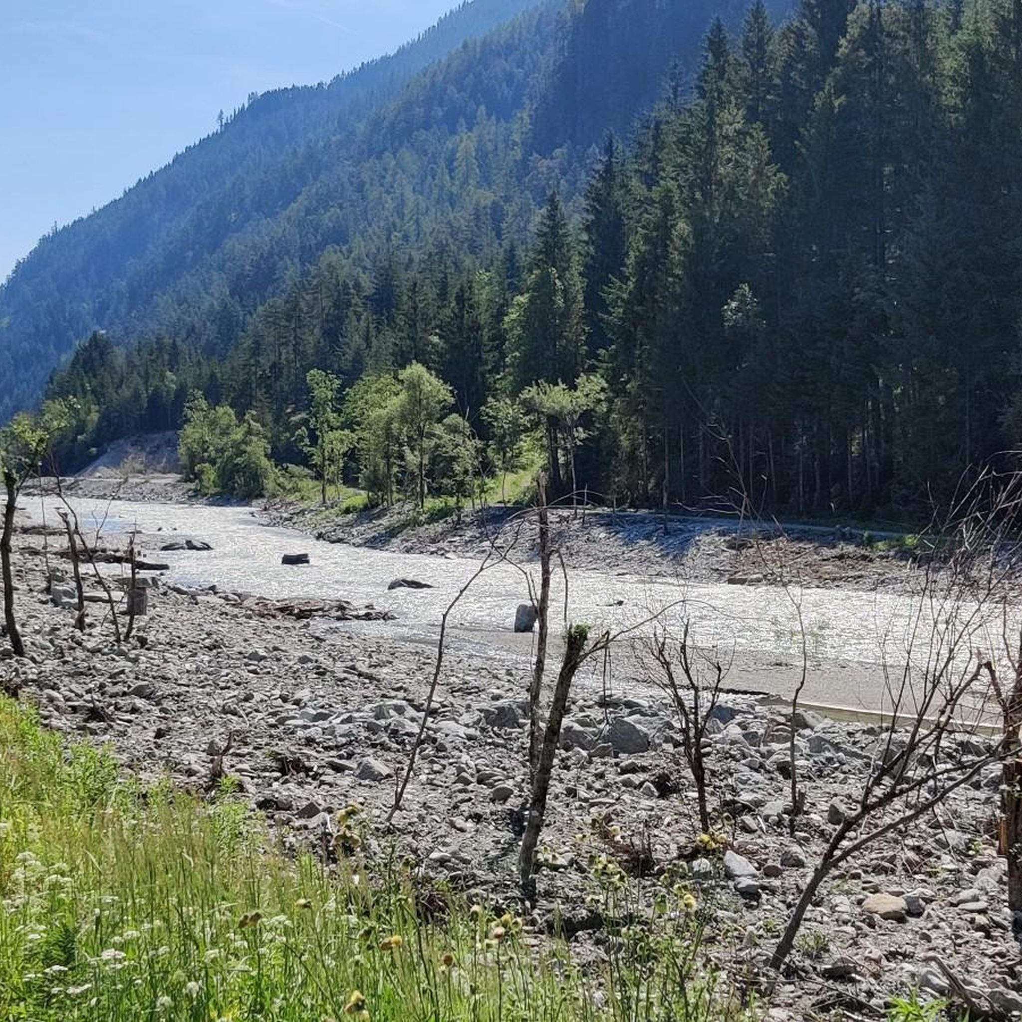
The Drava (less commonly Drave; Italian, Slovenian, and Croatian Drava, Hungarian Dráva) is a tributary of the Danube that rises in South Tyrol, Italy, then flows through East Tyrol and Carinthia (Austria), as well as Lower Styria (Slovenia), Croatia, and Hungary. With a length of 749 km and an average discharge of 670 m³/s, it is the fourth-longest tributary of the Danube after the Tisza, Prut, and Sava. Source: https://de.wikipedia.org/wiki/Drau
3
0

A very easy and flat hike. The landscape is very varied. Highly recommended!
0
0

The Golzentip is a peak that is easy to reach and this time it was even nicer because we had it to ourselves.
0
0


더 살펴보기
다른 지역의 최고의 러닝 트레일 & 경로를 살펴보세요.
