윈디슈가르스텐 최고의 MTB 라이딩 경로
4.6
(213)
1,158
자전거 타는 사람
27
라이딩
윈디슈가르스텐에서 산악자전거 라이딩을 하면 다양한 경치를 감상할 수 있어요. 어디서 출발해야 할지 모르겠다고요? 지금부터 윈디슈가르스텐 최고의 MTB 경로를 찾을 수 있도록 가장 멋진 라이딩 장소를 소개해드릴게요!
마지막 업데이트: 10월 8, 2026
4.4
(56)
211
자전거 타는 사람
53.3km
03:45
820m
820m
보통 산악 자전거 타기. 좋은 체력 필요. 실력과 관계없이 누구나 갈 수 있음.
4.5
(26)
141
자전거 타는 사람
29.4km
02:37
770m
770m
보통 산악 자전거 타기. 좋은 체력 필요. 뛰어난 라이딩 실력이 필요함.

4.7
(20)
113
자전거 타는 사람
42.4km
04:19
1,470m
1,470m
어려운 산악 자전거 타기. 우수한 체력 필요. 뛰어난 라이딩 실력이 필요함.
4.3
(10)
59
자전거 타는 사람
33.2km
03:14
960m
960m
어려운 산악 자전거 타기. 우수한 체력 필요. 뛰어난 라이딩 실력이 필요함. 투어 중 자전거를 끌고 가야 하는 구간이 있을 수 있음.
5.0
(9)
39
자전거 타는 사람
35.4km
02:32
530m
530m
보통 산악 자전거 타기. 좋은 체력 필요. 뛰어난 라이딩 실력이 필요함.
더 다양한 경로와 다른 탐험가들의 추천을 살펴보세요.
이미 komoot 계정이 있나요?
투어 추천은 다른 사람들이 komoot에서 완료한 수천 개의 활동을 바탕으로 구성되어 있습니다.
오늘 무료 계정으로 시작하세요
다음 모험이 기다리고 있어요.
윈디슈가르스텐 주변 인기 장소
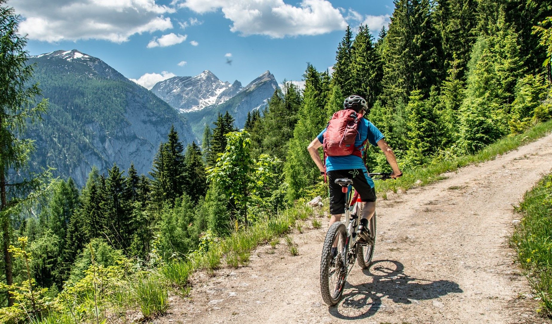
Trans 국립공원 루트를 통해 Kalkalpen
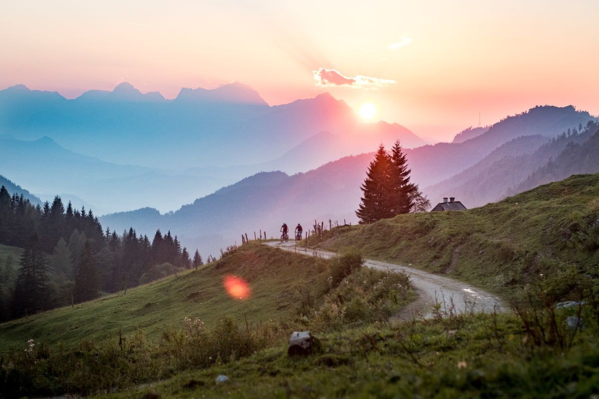
Fun and flow – best MTB trails in Upper Austria
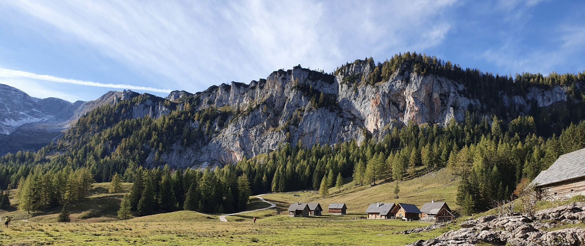
거대한 바위와 알프스 풀밭 - 오스트리아의 칼칼펜 트레일을 발견하세요
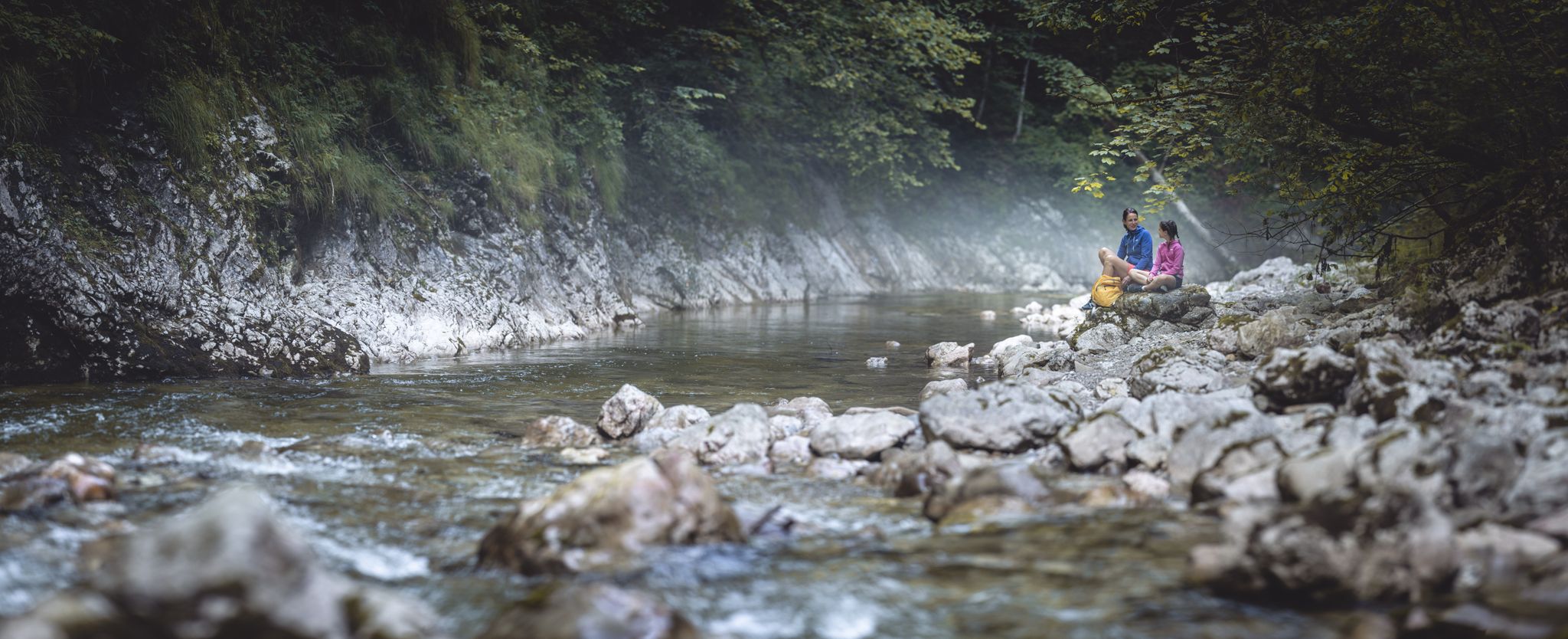
칼칼펜 국립공원 발견하기
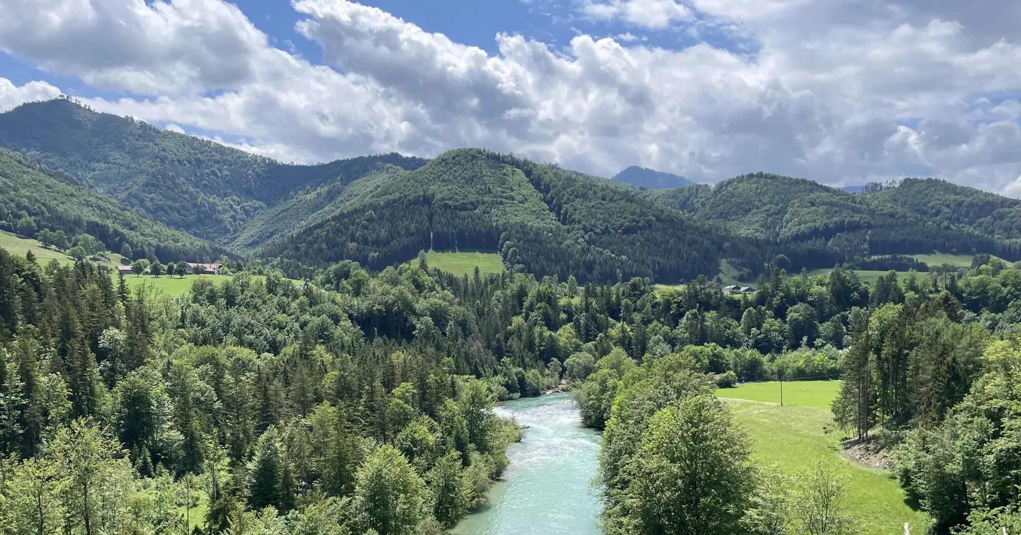
푸르한 물과 푸른 숲 - 스테이르탈 자전거 길
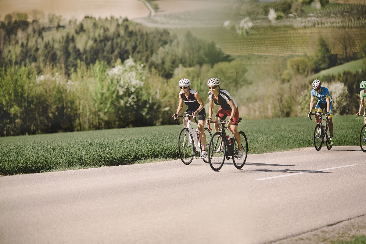
Fourteen Wadlbeißer – best road cycling routes in Upper Austria
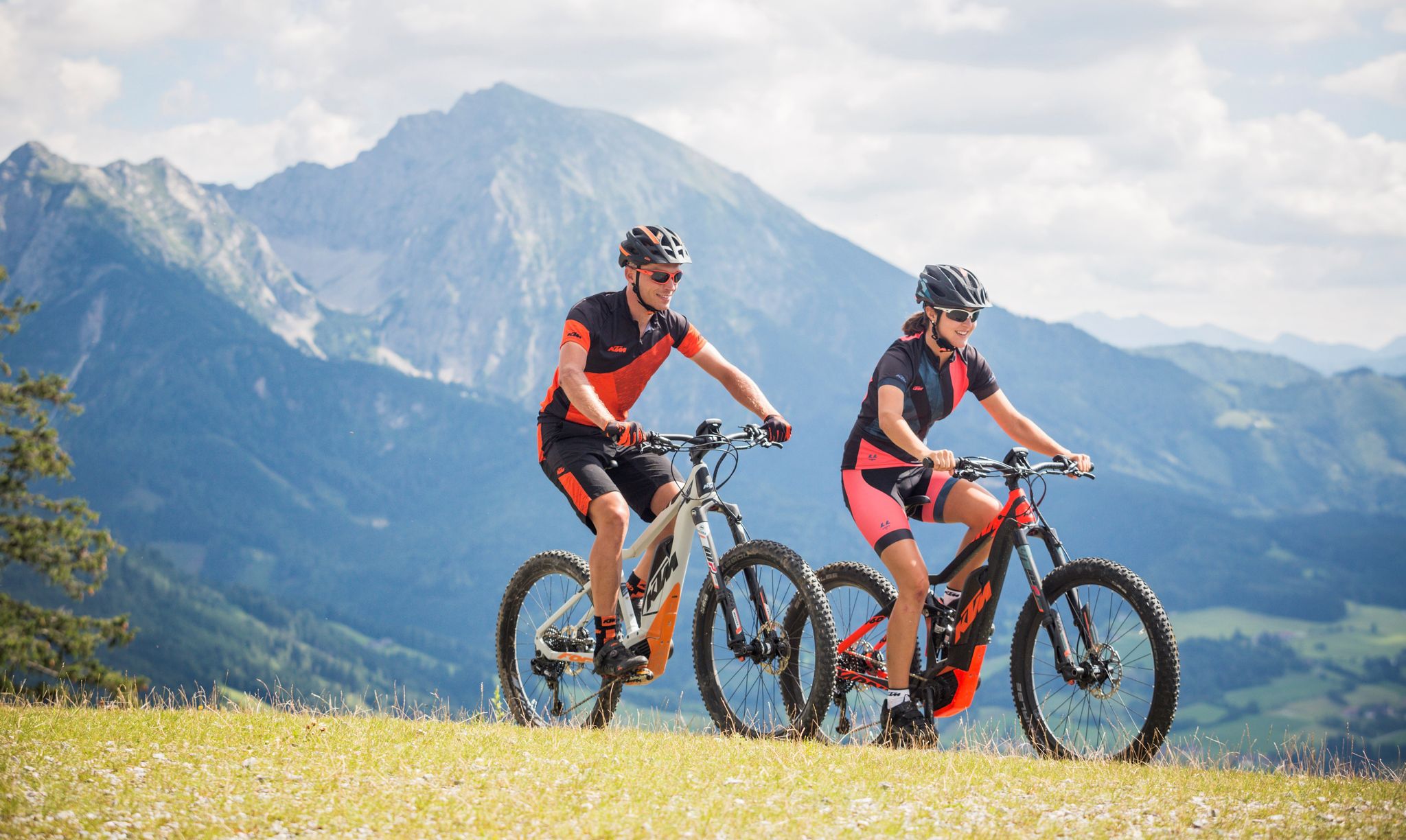
Where biker hearts beat faster — the Limestone Alps in Pyhrn-Priel
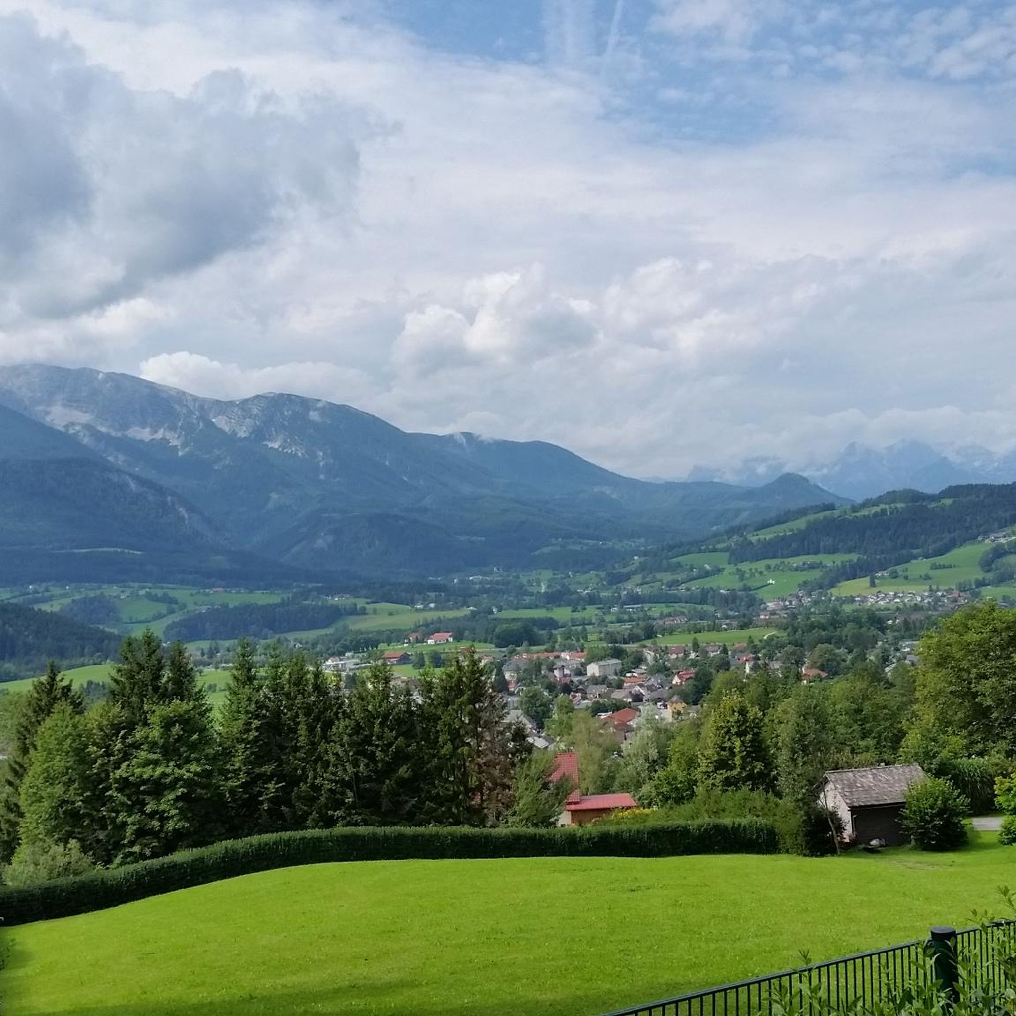
윈디슈가르스텐 하이킹
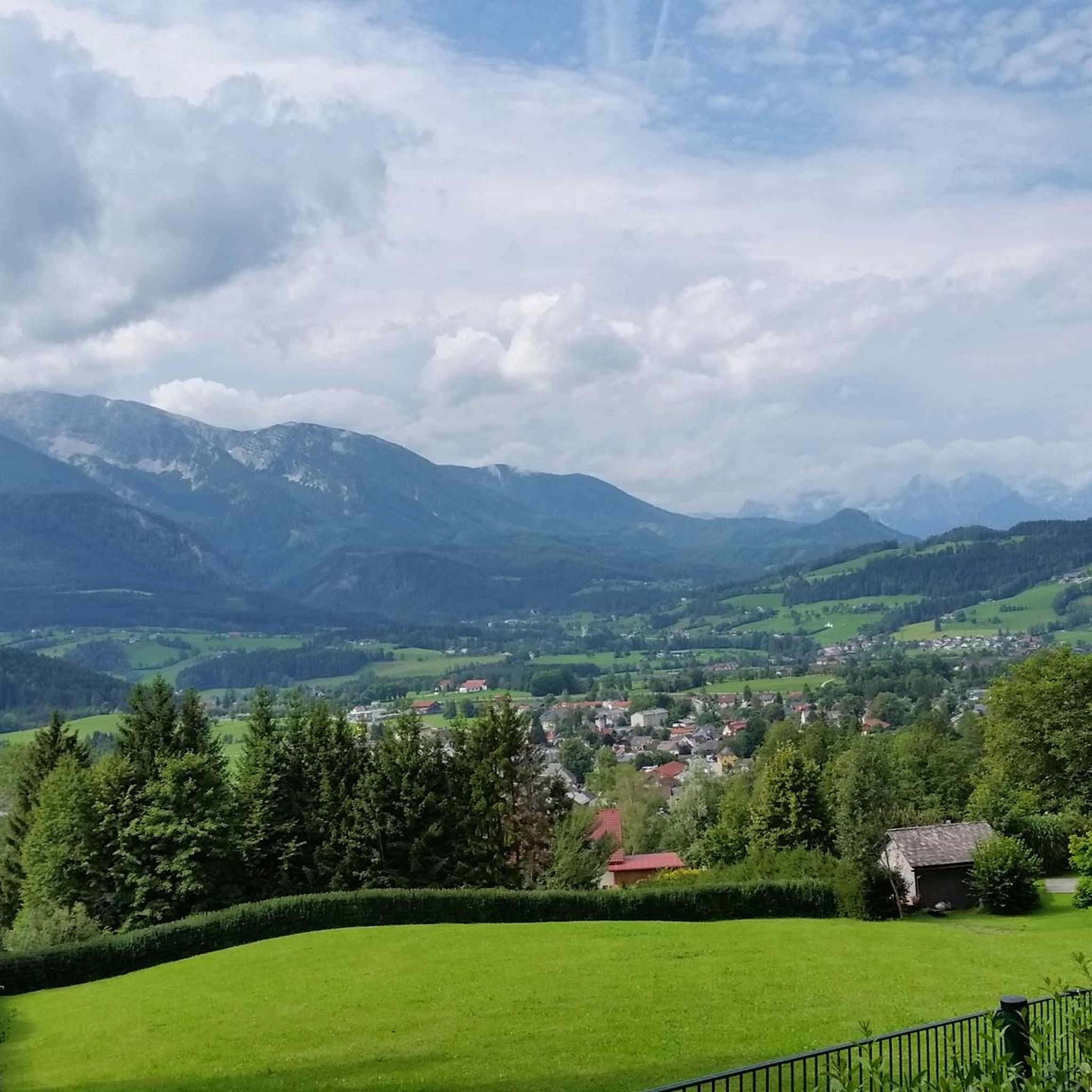
윈디슈가르스텐 사이클링
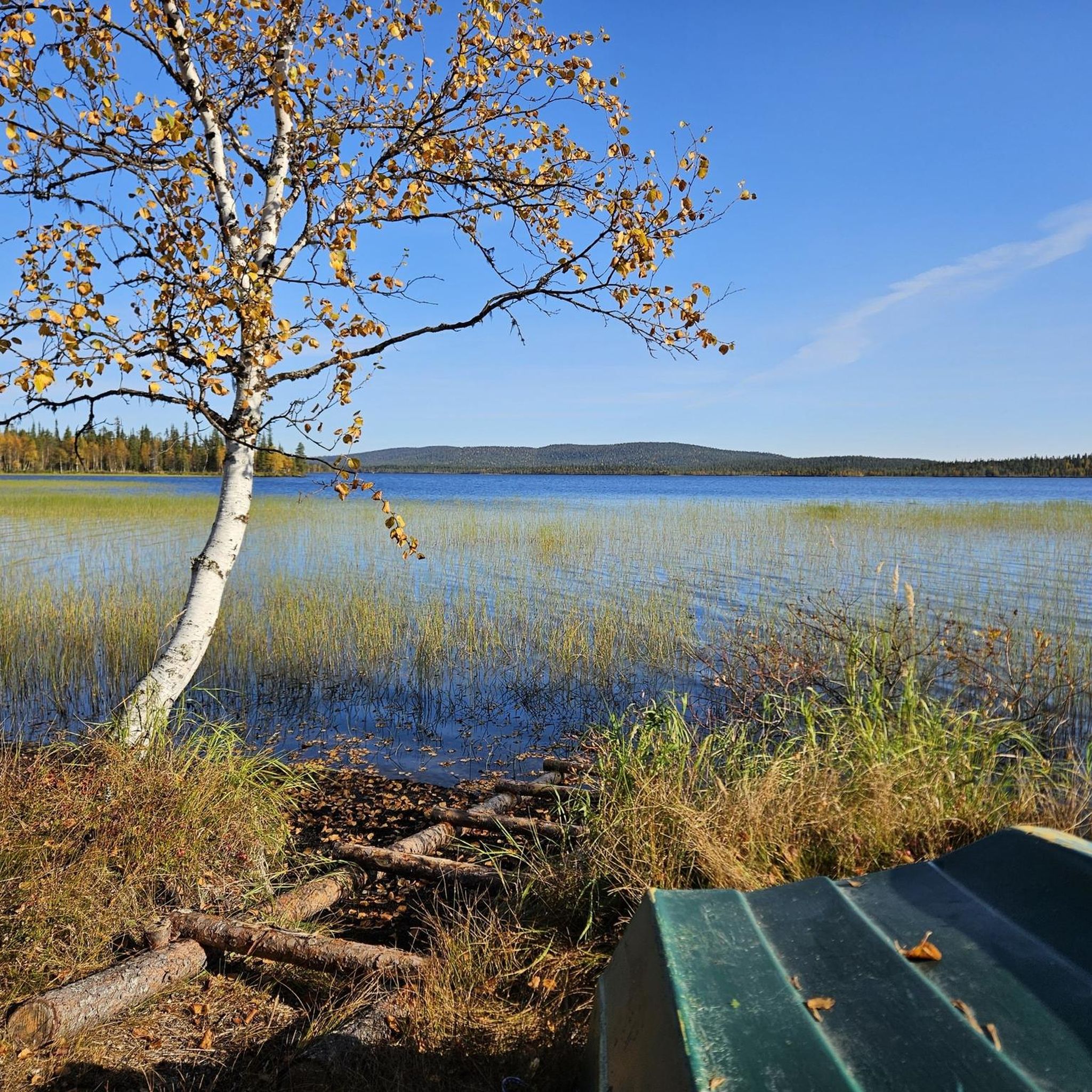
윈디슈가르스텐 등산
윈디슈가르스텐 주변의 다른 모험


커뮤니티 팁

이곳에서는 수정처럼 맑고 상쾌한 Steyr 강물이 바로 시설로 흘러 들어옵니다.
1
0
호수의 특징은 수정처럼 맑고 청록색을 띤 물이며, 이곳에서 스피츠마우어(2,446m)와 그로서 프리엘(2,515m)의 인상적인 봉우리를 볼 수 있습니다.
1
0

빈디슈가르스텐 기차역은 마을 중심부에서 약 400미터 떨어져 있습니다! 기차역에는 난방이 되는 대합실, 화장실, 티켓 판매기, 지붕이 있는 자전거 보관 시설이 있습니다.
1
0

아름답고 매우 잘 관리된 역사적인 마을 중심지입니다. 필요한 모든 것이 갖춰져 있으며, 몇 개의 상점, 레스토랑, 카페가 있습니다.
1
0


Very friendly service and delicious food. Ideal for a short break before or after visiting the Dr. Vogelsang Gorge 🫵😉
0
0

The **Kalkalpen National Park Cycle Route (R31)** is a beautiful bike tour that leads through the impressive landscape of the Kalkalpen National Park. Here are some interesting aspects of this cycle route: 1. **Route**: - You start in **St. Pankraz** and cycle through the idyllic **Rettenbach Valley** to **Windischgarsten**. - Along the way, you pass through **Roßleithen**, giving you the opportunity to enjoy the picturesque scenery. 2. **Length and Duration**: - The entire route is **53.3 km** and takes approximately **3 hours and 31 minutes** to complete, depending on your fitness level and breaks. 3. **Landscape**: - The cycle route leads through a **diverse landscape**, ranging from the Alpine foothills to the mountains of the **Pyhrn-Priel Region**. - You can enjoy the breathtaking views of the surrounding mountains and valleys. 4. **Difficulty**: - The cycle path is considered a **challenging bike tour**, so good physical condition is recommended. 5. **Activities**: - In addition to cycling, you can also explore nature, hike, or simply enjoy the peace and beauty of the surroundings. The Kalkalpen National Park Cycle Path is therefore an ideal destination for cyclists and nature lovers who want to enjoy the stunning scenery and fresh air.
0
0
The **Assumption of Mary Collegiate and Parish Church** in **Spital am Pyhrn** is an impressive religious building with a rich history. Here are some interesting facts about the church: 1. **History**: - The church is dedicated to the **Assumption of Mary** and was originally a Gothic church that was remodeled over the centuries. - It was built in the **16th century** as part of the collegiate chapter and has experienced a varied history, including the dissolution of the chapter by Emperor Franz II/I. 2. **Architecture**: - The church features **Baroque** elements, visible in the design of the façade and the interior. - Particularly noteworthy are the ornate altars and the impressive ceiling frescoes, which underline the spiritual atmosphere of the place. 3. **Location**: - Spital am Pyhrn is located at an elevation of **640 m** in the **Traunviertel** district, providing a picturesque backdrop for the church. 4. **Services**: - The parish church offers regular **services**, including: - **Sundays and Public Holidays**: **9:00 a.m.** - **Fridays and Saturdays**: **7:00 p.m.** - Additional services are held on special occasions, such as the high feasts of Easter. 5. **Parish Life**: - The church plays a central role in the spiritual life of the community and is a venue for various events and festivals. The Collegiate and Parish Church of the Assumption of Mary is a fascinating example of the connection between history, art, and spirituality in Spital am Pyhrn.
1
0
윈디슈가르스텐 주변에서 가장 인기 있는 명소


더 살펴보기
다른 지역의 최고의 MTB 트레일를 살펴보세요.
