화이트힐 최고의 워킹 & 하이킹 경로
4.6
(1416)
10,977
등산객
28
하이킹
Komoot에 등록된 화이트힐 내 트레일 및 경로 컬렉션 중에서 하이킹과 워킹을 가장 멋지게 즐길 수 있는 곳을 알려드릴게요. 아래에서 각 경로의 상세 정보를 모두 확인한 후, 화이트힐 속 자연에서 즐거운 시간을 누려보세요.
마지막 업데이트: 10월 10, 2026
4.4
(7)
48
등산객
10.5km
02:43
60m
60m
보통 하이킹. 좋은 체력 필요. 실력과 관계없이 누구나 쉽게 갈 수 있는 길.
3
등산객
7.92km
02:04
50m
60m
보통 하이킹. 좋은 체력 필요. 대부분 갈 수 있는 길. 미끄러지지 않게 조심해야 함.

33
등산객
6.00km
01:33
30m
30m
초급용 하이킹. 모든 체력 수준에 적합. 실력과 관계없이 누구나 쉽게 갈 수 있는 길.
11
등산객
6.94km
01:48
40m
40m
초급용 하이킹. 모든 체력 수준에 적합. 실력과 관계없이 누구나 쉽게 갈 수 있는 길.
4
등산객
9.69km
02:30
40m
40m
보통 하이킹. 좋은 체력 필요. 실력과 관계없이 누구나 쉽게 갈 수 있는 길.
더 다양한 경로와 다른 탐험가들의 추천을 살펴보세요.
이미 komoot 계정이 있나요?
투어 추천은 다른 사람들이 komoot에서 완료한 수천 개의 활동을 바탕으로 구성되어 있습니다.
오늘 무료 계정으로 시작하세요
다음 모험이 기다리고 있어요.

커뮤니티 팁

Can either remain on the peri track (flat, open) or join the Shipwright's way (narrower path, wooded and pretty). Both reasonably flat
0
0
Easy flatish peri track, gravelled all the way round and open public access
0
0

Good place to stop for coffee and cake… or sausage roll
0
0


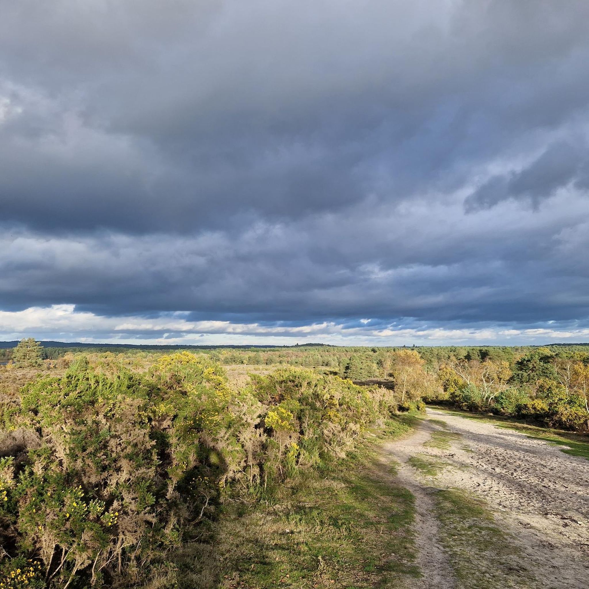
This large area of heathland and woodland has public footpaths to follow from the hamlet of Conford in the north eastern part of the site. It is a significant area with a diversity of habitats supporting twelve known native species of reptiles and amphibians. Scenery includes oak-birch woodland, conifer plantations, open sandy heaths, and rough grazed pastures. There's lots of interesting plants and flowers to look out for. Also keep your eyes peeled for birds such as Dartford warbler and European nightjar. N.B The Woolmer Forest perimeter trail is a popular route. However this area is the outer ring of an active Ministry of Defence (MOD) Range Area and it is illegal and dangerous to enter when the red flags are flying. Please adhere to any closure signs. If in any doubt then contact Longmoor Ranges by phone on 01420 483405.
0
0
There is a very good compact gravel/dirt track that skirts around the 10km perimeter of Woolmer Ranges/Woolmer Forest. The area is a Ministry of Defence (MOD) training area. The track is open to the public but the MOD area is fenced off.
3
0
This large area of heathland and woodland has public footpaths to follow from the hamlet of Conford in the north eastern part of the site. It is a significant area with a diversity of habitats supporting twelve known native species of reptiles and amphibians. Scenery includes oak-birch woodland, conifer plantations, open sandy heaths, and rough grazed pastures. There's lots of interesting plants and flowers to look out for. Also keep your eyes peeled for birds such as Dartford warbler and European nightjar. N.B The Woolmer Forest perimeter trail is a popular route. However this area is the outer ring of an active Ministry of Defence (MOD) Range Area and it is illegal and dangerous to enter when the red flags are flying. Please adhere to any closure signs. If in any doubt then contact Longmoor Ranges by phone on 01420 483405.
1
0

Broxhead Common is situated just outside Bordon in Hampshire. It is a designated Site of Special Scientific Interest, consisting of 42 hectares of dry heathland and secondary birch/oak woodland. It is an ideal spot to explore, with a diverse range of wildlife and some wonderful views across the surrounding countryside
1
0
화이트힐 주변에서 가장 인기 있는 명소


더 살펴보기
다른 지역의 최고의 하이킹를 살펴보세요.
