올브룩과 노스 보야트에서 가장 멋진 7개의 산 정상
올브룩과 노스 보야트의 산 정상에 오르면 이 지역의 아름다운 모습을 제대로 구경할 수 있어요. 다만, 7
곳이나 되는 산 정상 중에서 어떤 곳을 가야 할 지 고민된다는 게 문제죠. 올브룩과 노스 보야트에서 가장 멋진 산 정상을 살펴본 후에 마음에 드는 산 정상을 다음 모험 계획에 추가해보세요.
마지막 업데이트: 9월 14, 2026
세인트 캐서린스 힐
하이라이트 • 역사적 장소
팁에 의해

세인트 캐서린스 힐
하이라이트 • 전망대
팁에 의해

이런 장소를 발견하려면 지금 가입하세요
최고의 싱글 트랙, 봉우리 및 다양한 흥미로운 야외 장소에 대한 추천을 받아보세요.
윈체스터 로드 자전거길 오버 헛 힐
하이라이트 (구간) • 트레일
Traffic-free and …
팁에 의해

파얼리 마운트 기념비
하이라이트 • 기념물
팁에 의해

오늘 무료 계정으로 시작하세요
다음 모험이 기다리고 있어요.
커뮤니티 팁

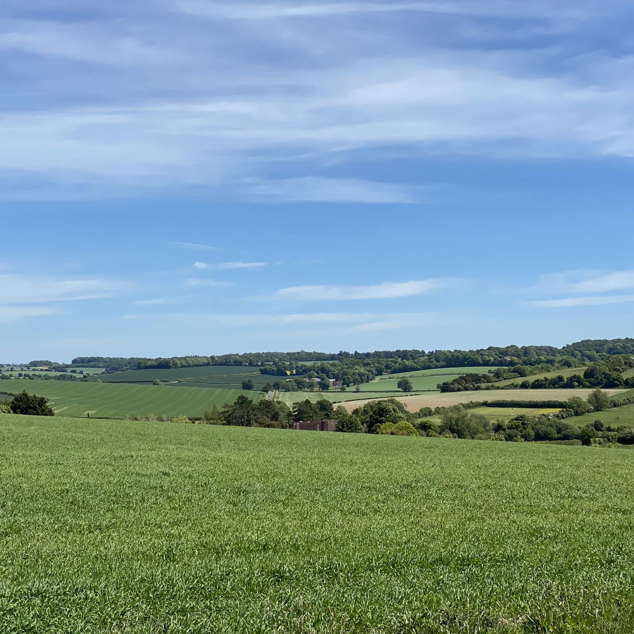
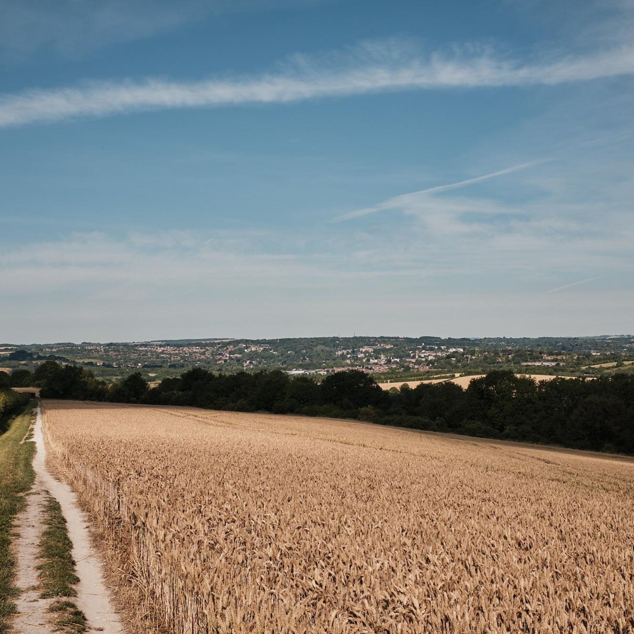
St Catherine's Hill is a prominent chalk downland hill on the outskirts of Winchester, notable for its layered historical and ecological importance. Now a biological Site of Special Scientific Interest (SSSI) managed as a nature reserve, its summit is ringed by the impressive earthworks of a univallate Iron Age hillfort dating back over 2,000 years. The top is marked by a distinctive copse of beech trees, known as 'The Clump', which contains the scant ruins of the 12th-century St Catherine's Chapel, while the hillside features a turf-cut labyrinth known as the Miz-Maze; the entire site provides spectacular views over the city, the Itchen Valley, and supports a rich variety of wildflowers and butterflies, including the protected Chalkhill Blue.
1
0
St Catherine's Hill is a prominent chalk downland hill on the outskirts of Winchester, notable for its layered historical and ecological importance. Now a biological Site of Special Scientific Interest (SSSI) managed as a nature reserve, its summit is ringed by the impressive earthworks of a univallate Iron Age hillfort dating back over 2,000 years. The top is marked by a distinctive copse of beech trees, known as 'The Clump', which contains the scant ruins of the 12th-century St Catherine's Chapel, while the hillside features a turf-cut labyrinth known as the Miz-Maze; the entire site provides spectacular views over the city, the Itchen Valley, and supports a rich variety of wildflowers and butterflies, including the protected Chalkhill Blue.
1
0


Beautiful spot to watch the sunrise and look down at the city lights in the distance. Great route up with steps from the south west side of the hill
2
0
The pathway up is unclear from this point. Note however that there is an easy to follow route up with mostly steps on the south west side of the hill
2
0

A super cool but heart thumping 220ft climb up St Catherine’s Hill’s wooden stairs reveals show-stopping views of Winchester city as well as the Itchen Valley and the downland it nestles in. At the summit are the earthworks of an Iron Age fort, buried ruins of the Norman chapel that gives the site its name, and a copse of beech trees. In the summer you’ll be able to hear the cackle of a woodpeckers, spy buzzards and kestrels. It is such a great place to run or walk to.
1
0

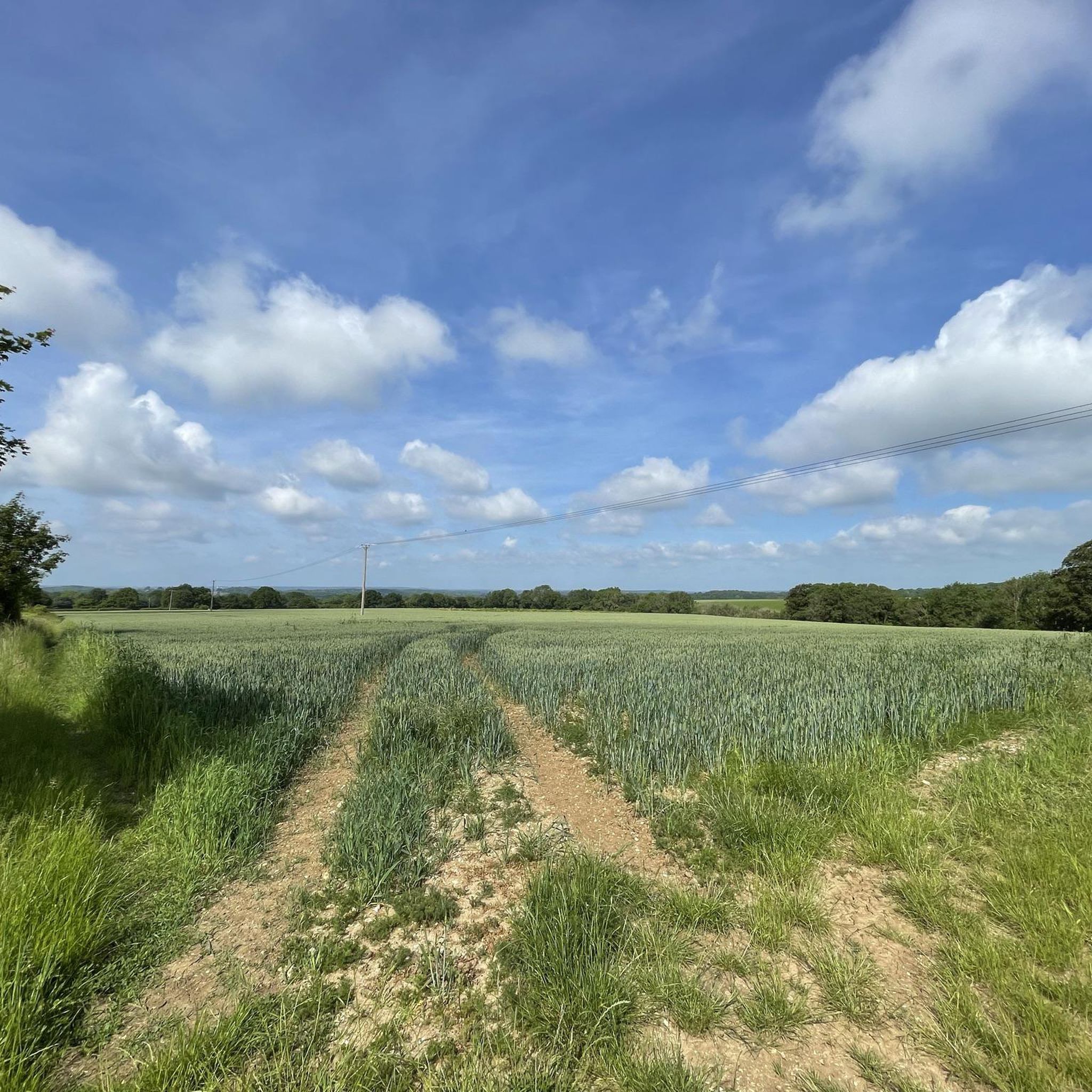
Set within a rolling landscape of downland and woodland, the summit of Farley Mount is one of the highest points in the county of Hampshire. The monument was erected in honour of a horse, named "Beware Chalk Pit", which carried its owner to a racing victory in 1734, a year after having fallen into a chalk pit whilst out fox-hunting. The hill is It is locally famous for being the subject of a folk song, 'On Farley Mount'.
0
1

The view from the top is worth the climb. Look out for the turf maze at the top!
2
0
올브룩과 노스 보야트 주변에서 가장 인기 있는 명소


더 살펴보기
이 가이드를 통해 올브룩과 노스 보야트 주변의 더 놀라운 정상들을 확인해보세요:
