아놀드스타인 최고의 등산 경로
4.7
(171)
1,406
등산객
36
하이킹
아놀드스타인에서 하이킹하며 빌라흐 구석 부분까지 살펴볼까요? 아놀드스타인에 있는 모든 하이킹 및 워킹 경로 컬렉션 중 가장 멋진 하이킹 경로를 엄선하여 소개해드릴게요. 다른 하이커가 공유한 실제 팁과 사진을 살펴보고 후기를 읽으며 마음에 드는 아놀드스타인 워킹 경로를 찾아보세요.
마지막 업데이트: 10월 22, 2026
5.0
(5)
50
등산객
20.9km
10:45
1,630m
1,630m
어려운 등산 코스. 우수한 체력 필요. 튼튼한 신발을 신고 미끄러지지 않게 조심해야 하며, 높은 산을 오른 경험이 있어야 함.
5.0
(4)
42
등산객
8.02km
03:15
440m
440m
어려운 등산 코스. 좋은 체력 필요. 튼튼한 신발을 신고 미끄러지지 않게 조심해야 하며, 높은 산을 오른 경험이 있어야 함.

5.0
(7)
75
등산객
어려운 등산 코스. 튼튼한 신발을 신고 미끄러지지 않게 조심해야 하며, 높은 산을 오른 경험이 있어야 함.
27
등산객
18.5km
06:58
1,250m
1,250m
어려운 등산 코스. 우수한 체력 필요. 튼튼한 신발을 신고 미끄러지지 않게 조심해야 하며, 높은 산을 오른 경험이 있어야 함.
5.0
(1)
18
등산객
11.1km
03:54
620m
620m
보통 등산 코스. 좋은 체력 필요. 쉽게 걸을 수 있는 길.
더 다양한 경로와 다른 탐험가들의 추천을 살펴보세요.
이미 komoot 계정이 있나요?
투어 추천은 다른 사람들이 komoot에서 완료한 수천 개의 활동을 바탕으로 구성되어 있습니다.
오늘 무료 계정으로 시작하세요
다음 모험이 기다리고 있어요.
아놀드스타인 주변 인기 장소
Long hikes on the southern side of the Austrian Alps – in Carinthia
남알프스 트레일 - 오스트리아 스타이어 포도원과 카르니크 알프스
Sunny adventures on the Southern Alps Panorama Trail
Spectacular and historic – long-distance hiking in Carinthia
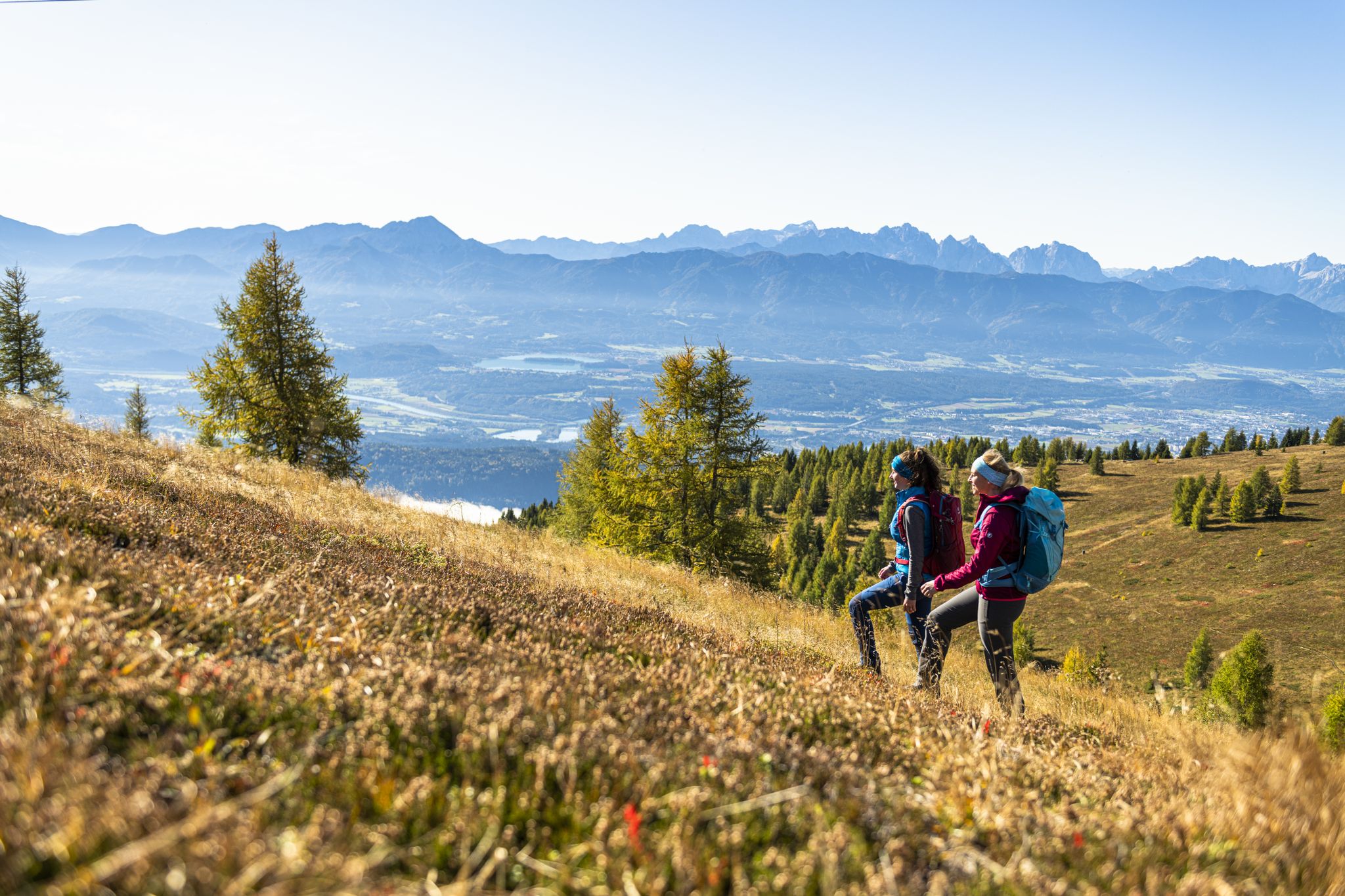
Autumnal mountain hut treks in the Villach region
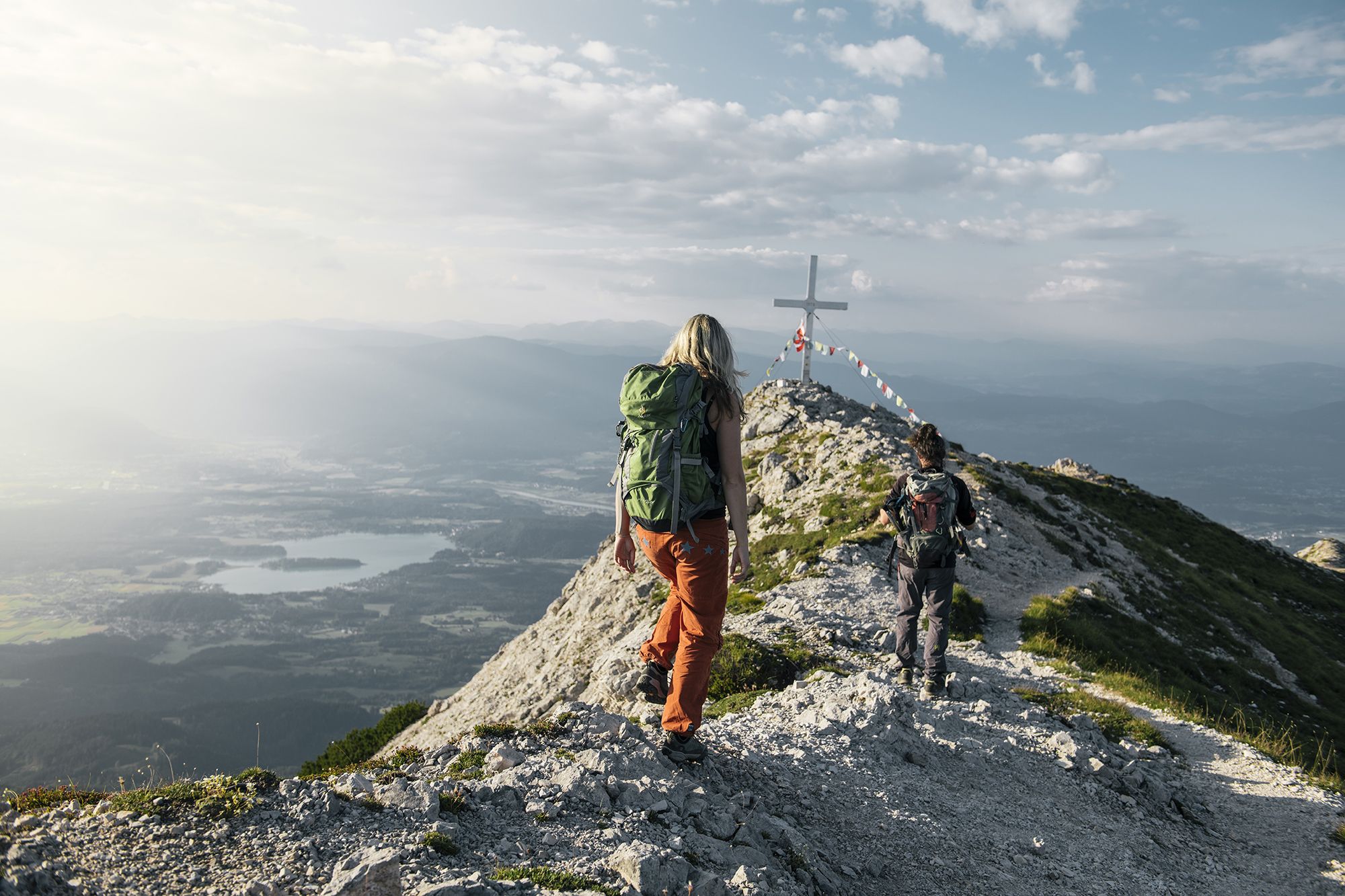
Hike to the most beautiful views around Villach in Austria
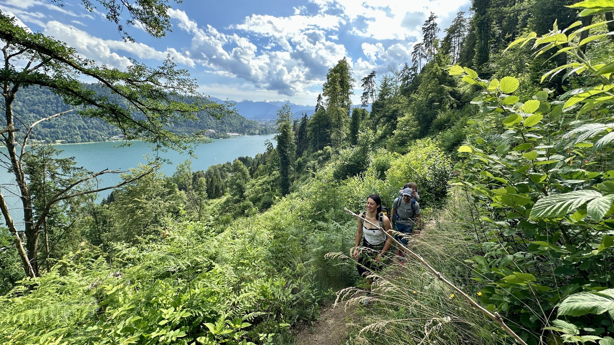
Rail & Trail: Bahnwandern in Kärnten
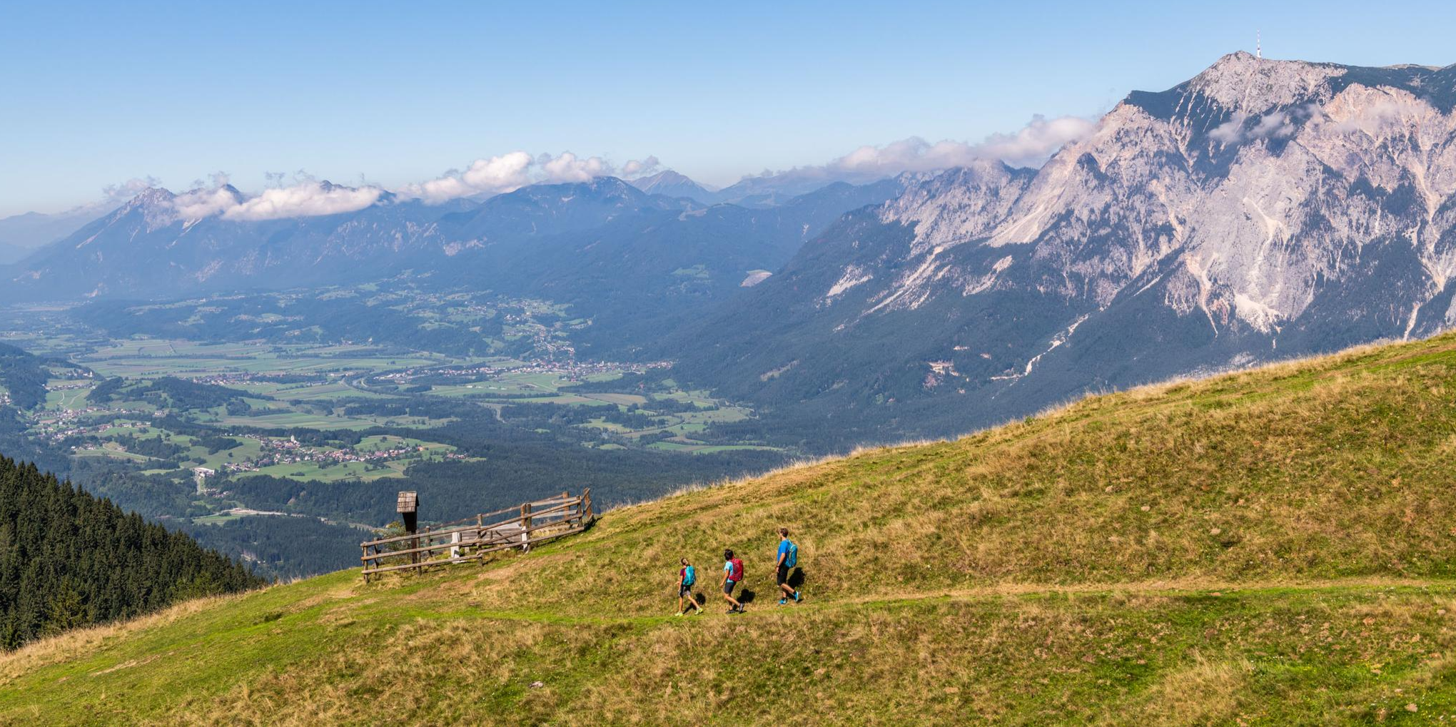
Grenzenlos unterwegs am Drei.Länder.Eck
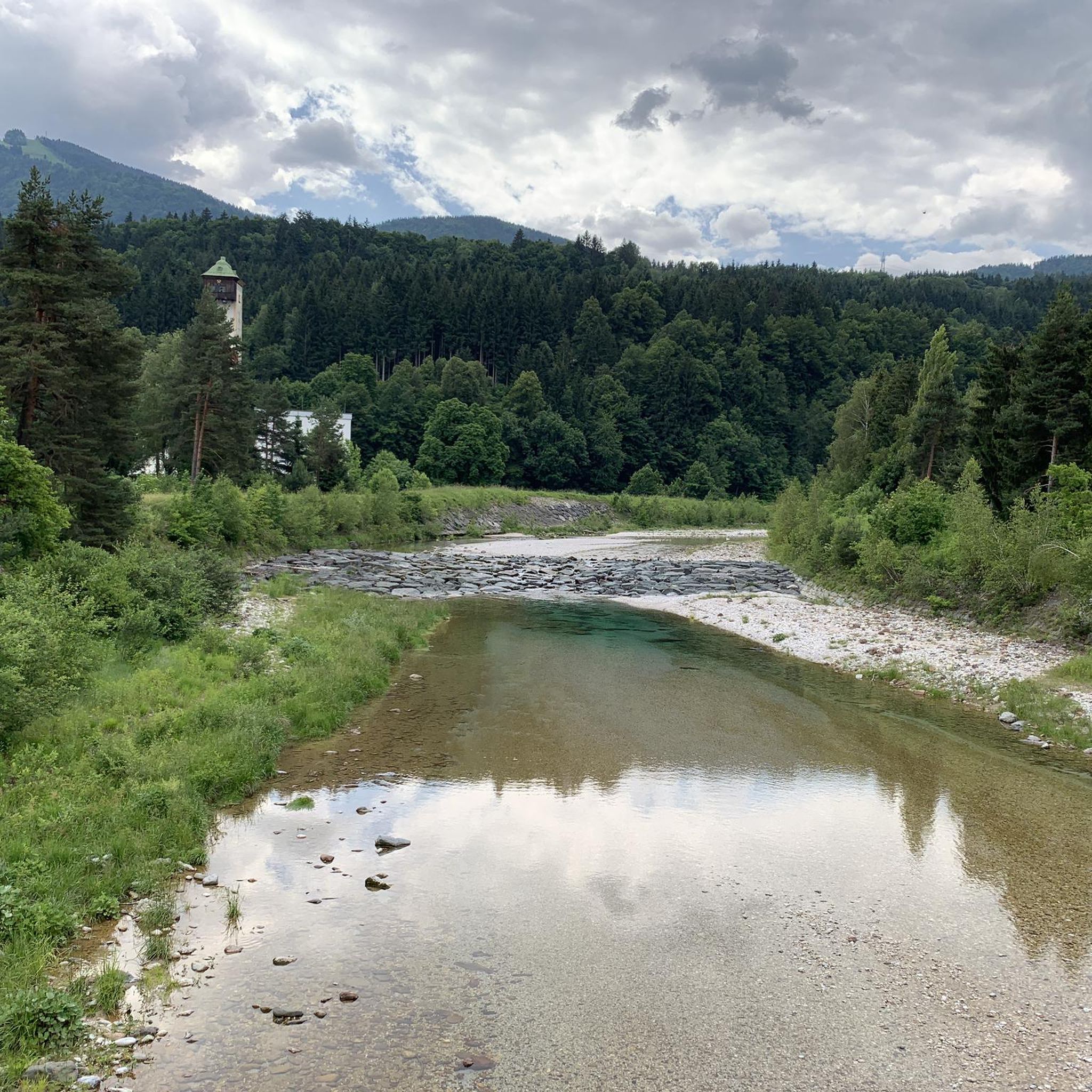
아놀드스타인 하이킹

아놀드스타인 로드 사이클링 경로
아놀드스타인 주변의 다른 모험


커뮤니티 팁


From the Slovenian side, the gravel is perfectly rideable. Easy gravel/forest path. However, parts of the descent into Austria are significantly more difficult on gravel. Not much fun, but a lot of technical stuff. More for experienced mountain bikers.
0
0

Located below the summit cross and not immediately visible from afar ... very impressive and inside there are candles that you can light for a small donation to the upkeep of the church
1
0


A path has been trampled here, leading to a swimming area. Such paths exacerbate the already increasing erosion. I strongly recommend avoiding it. 🙄🙈
1
1
As soon as you see the waterfall, the climb becomes quite challenging. There are ropes and footholds leading up to the bridge. Anyone who wants to stand directly in front of the waterfall should wear sturdy hiking boots and, ideally, a helmet, even though the difficult climb through the crevasse only takes a few minutes and is secured with ropes in places.
0
0

Planica is a district of Rateče and the name of a valley in the Julian Alps in northwestern Slovenia, extending south from Rateče, not far from the famous winter sports resort of Kranjska Gora. It is known as a host of the Ski Flying World Championships. Further south in the valley lies Tamar, which can be reached in a 45-minute hike from the Planica parking lot at the end of the ski jumps and serves as a starting point for mountain hikes in Triglav National Park.
2
0
…a beautiful hut with a good kitchen that's open late into the night! 😉
2
0


더 살펴보기
다른 지역의 최고의 산악 하이킹 & 경로를 살펴보세요.
