브렌제 최고의 등산 경로
4.9
(11)
154
등산객
21
하이킹
브렌제에서 하이킹하며 빌라흐 구석 부분까지 살펴볼까요? 브렌제에 있는 모든 하이킹 및 워킹 경로 컬렉션 중 가장 멋진 하이킹 경로를 엄선하여 소개해드릴게요. 다른 하이커가 공유한 실제 팁과 사진을 살펴보고 후기를 읽으며 마음에 드는 브렌제 워킹 경로를 찾아보세요.
마지막 업데이트: 9월 1, 2026
5.0
(1)
10
등산객
8.11km
03:42
500m
500m
어려운 등산 코스. 좋은 체력 필요. 튼튼한 신발을 신고 미끄러지지 않게 조심해야 하며, 높은 산을 오른 경험이 있어야 함.
5.0
(2)
8
등산객
5.74km
02:57
490m
490m
보통 등산 코스. 좋은 체력 필요. 대부분 갈 수 있는 길. 미끄러지지 않게 조심해야 함.

무료 회원 가입
5.0
(1)
10
등산객
10.9km
04:03
620m
620m
어려운 등산 코스. 좋은 체력 필요. 튼튼한 신발을 신고 미끄러지지 않게 조심해야 하며, 높은 산을 오른 경험이 있어야 함.
9
등산객
19.5km
07:30
1,160m
1,160m
어려운 등산 코스. 우수한 체력 필요. 튼튼한 신발을 신고 미끄러지지 않게 조심해야 하며, 높은 산을 오른 경험이 있어야 함.
22
등산객
9.54km
05:10
910m
910m
어려운 등산 코스. 우수한 체력 필요. 대부분 갈 수 있는 길. 미끄러지지 않게 조심해야 함.
더 다양한 경로와 다른 탐험가들의 추천을 살펴보세요.
무료 회원 가입
이미 komoot 계정이 있나요?
투어 추천은 다른 사람들이 komoot에서 완료한 수천 개의 활동을 바탕으로 구성되어 있습니다.
오늘 무료 계정으로 시작하세요
다음 모험이 기다리고 있어요.
로그인 또는 가입하기
커뮤니티 팁

카이저부르크 정상(2,059m)은 카이저부르크반 바로 위에 있으며 주변 산악 세계의 멋진 파노라마 전망을 제공합니다. 맑은 날에는 그로스글로크너까지 볼 수 있습니다. 정상 아래에는 예로부터 사람들의 상상력을 사로잡았던 동굴이 있습니다. 오래전에는 두 개의 문과 같은 입구가 어두운 산 속 깊은 곳으로 이어져 보물을 향해 갔다고 전해집니다. 오늘날에는 이 장소에 좁은 동굴만 남아 있으며, 접근이 불가능해 보입니다.
1
0

오르막길이 마음에 들었고 전망이 힘든 여정을 보상해주었습니다.
1
0


Many beautiful mountain flowers, ideal for observing nature here 🦋🦗🐝🌞
0
0

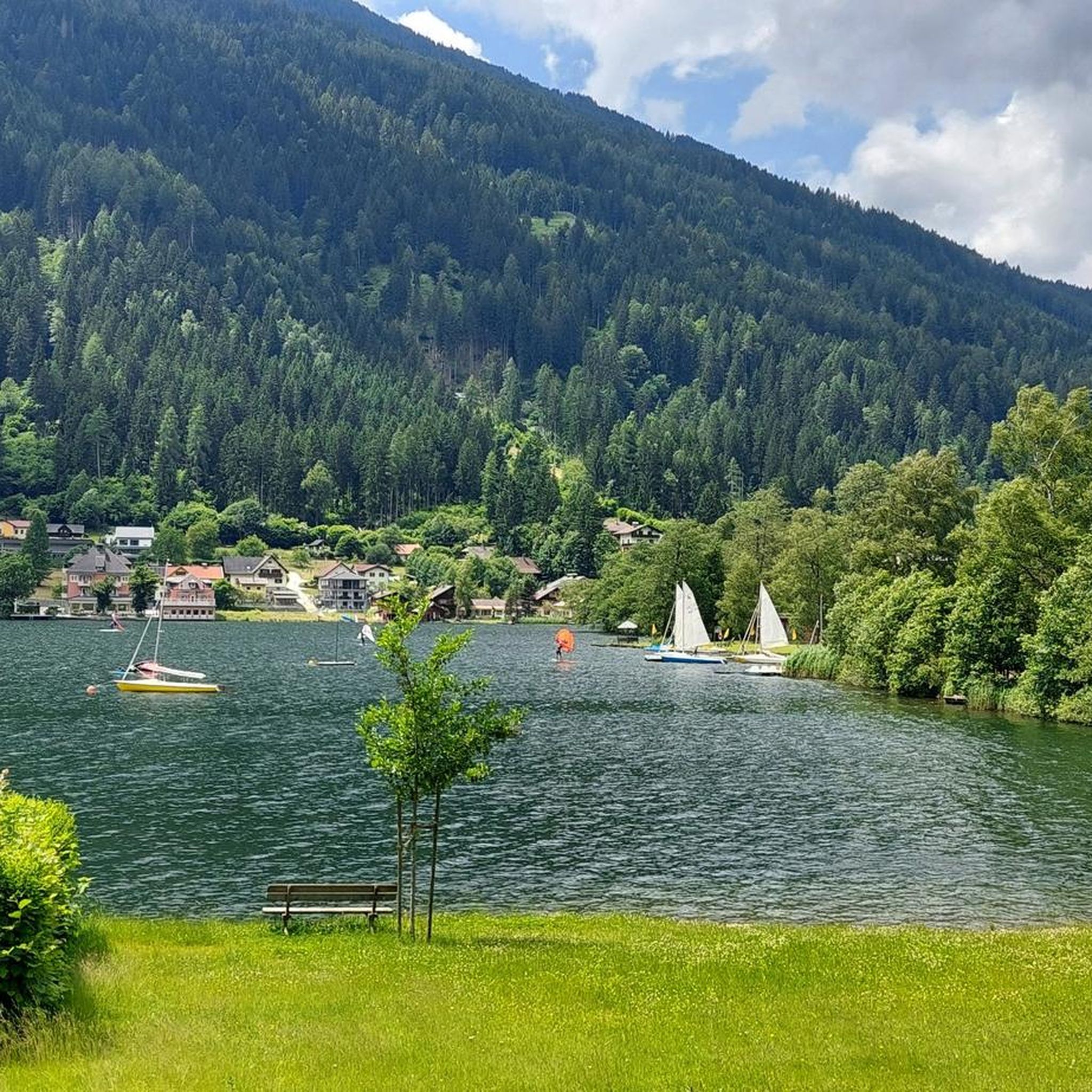
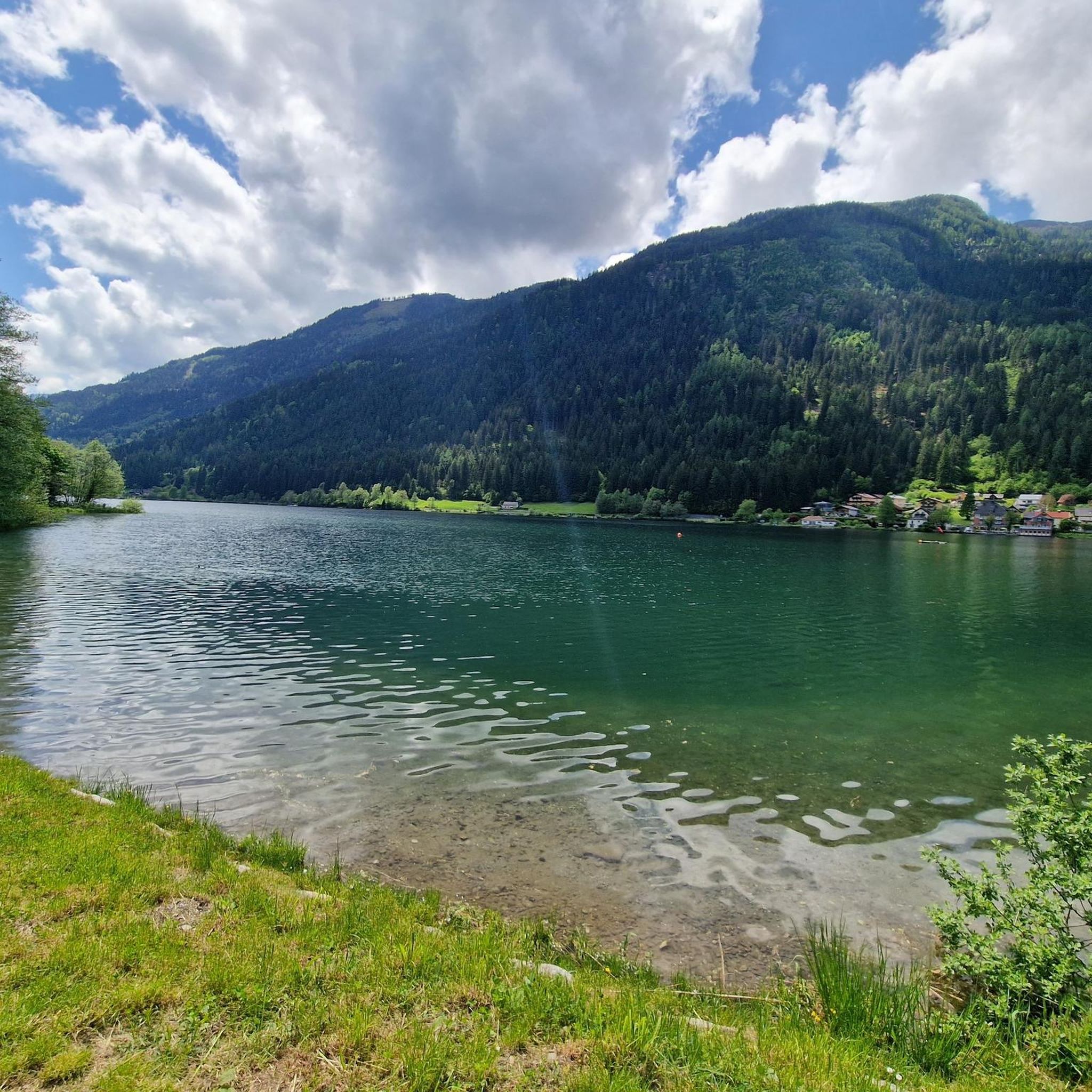
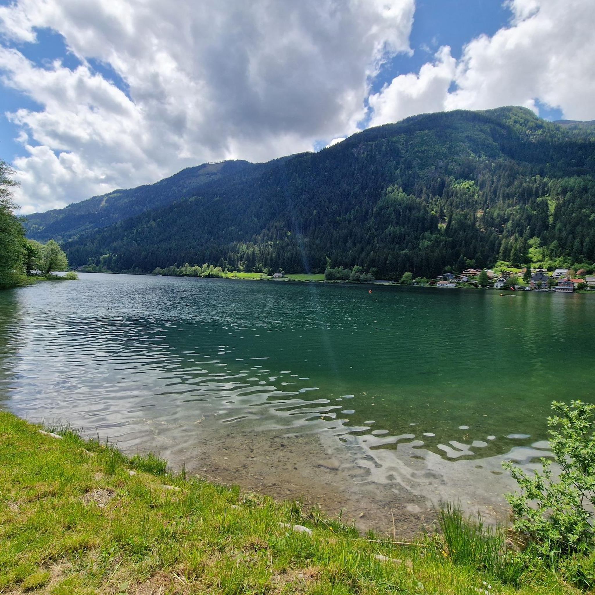
We take the toll road (5€) from Afritz to the Wieseralm. From there we start this beautiful circular hike to the world mountain Mirnock. We briefly follow a road to the west towards the Hochalmhütte. At a fork in the road we decide on the shorter option and turn left. It goes comfortably up through the forest. Later the forest thins out and we enter wide pastures. After a good hour and a half we reach the summit cross of the Mirnock. We enjoy the deep view of Lake Millstatt. For the descent we follow the gentle ridge of the Mirnock towards Rindernock. At the small lake at its foot, wooden loungers tempt us to take another rest. Here we turn left and descend to the Wieser Alm.
4
0

Attention: An incorrect address is stored when navigating. If you want to go from the Wieser Alm to the Mirnock, Rindernock, etc., please search for "Lierzbergerstraße". The entrance is at the southern end of the Afritzer See (Camping Glinzner, Bodner, old people's and nursing home, Afritzer lido,...) From the address Wiesenweg 24, 9544 Feld am See you can only get to the Mirnock on foot, a total of around 1300 meters in altitude! From the Wieser Alm it is around 600 meters in altitude.
2
0

Verditz ski area The Verditz ski area was located in the Amberger Alm area. A chairlift with three sections led from the Gegendtal (668 m) to the Kammhöhe (1832 m). About halfway up the first chairlift you could get off at a summer toboggan run. The mountain railways stopped operating in 2012.
2
0
The Mirnock is an isolated mountain massif in Carinthia, 2,110 m above sea level. It is part of the Nockberge and lies between the lower Drau valley in the southwest, Lake Millstatt in the west, the Gegendtal in the northeast and the Krastal in the southeast. The village of Radenthein borders it to the north, and the formerly independent municipality of Mooswald lay entirely on the broad western and southwestern flank of the mountain. The ridge of the mountain massif also has two smaller elevations, the Palnock (1,901 m) and the Amberger Alpe (1,831 m). The Mirnock's great prominence is remarkable, with a ridge height of 1,343 meters.
2
1
브렌제 주변에서 가장 인기 있는 명소


더 살펴보기
다른 지역의 최고의 산악 하이킹 & 경로를 살펴보세요.
