슈타이닝 최고의 워킹 & 하이킹 경로
4.6
(1903)
15,100
등산객
45
하이킹
Komoot에 등록된 슈타이닝 내 트레일 및 경로 컬렉션 중에서 하이킹과 워킹을 가장 멋지게 즐길 수 있는 곳을 알려드릴게요. 아래에서 각 경로의 상세 정보를 모두 확인한 후, 슈타이닝 속 자연에서 즐거운 시간을 누려보세요.
마지막 업데이트: 9월 26, 2026
4.8
(25)
120
등산객
11.3km
03:11
220m
220m
보통 하이킹. 좋은 체력 필요. 실력과 관계없이 누구나 쉽게 갈 수 있는 길.
4.7
(21)
91
등산객
9.36km
02:47
250m
250m
보통 하이킹. 좋은 체력 필요. 실력과 관계없이 누구나 쉽게 갈 수 있는 길.

5.0
(2)
60
등산객
4.40km
01:14
80m
80m
초급용 하이킹. 모든 체력 수준에 적합. 실력과 관계없이 누구나 쉽게 갈 수 있는 길.
5.0
(3)
17
등산객
14.5km
04:12
350m
350m
보통 하이킹. 좋은 체력 필요. 실력과 관계없이 누구나 쉽게 갈 수 있는 길.
5.0
(1)
17
등산객
7.49km
02:04
120m
120m
보통 하이킹. 좋은 체력 필요. 실력과 관계없이 누구나 쉽게 갈 수 있는 길.
더 다양한 경로와 다른 탐험가들의 추천을 살펴보세요.
이미 komoot 계정이 있나요?
투어 추천은 다른 사람들이 komoot에서 완료한 수천 개의 활동을 바탕으로 구성되어 있습니다.
오늘 무료 계정으로 시작하세요
다음 모험이 기다리고 있어요.


커뮤니티 팁

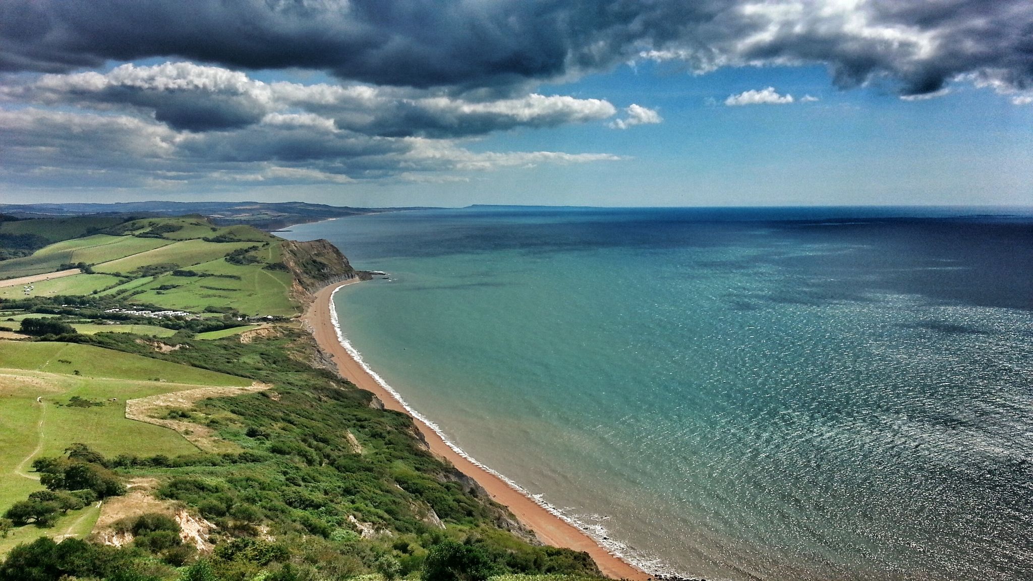
The bridleway that climbs up from Castle Town to join the South Down's Way below Beeding Hill provides fantastic views across the weald. Look out for the remnants of ancient cultivation ditches just downhill of the path.
0
0
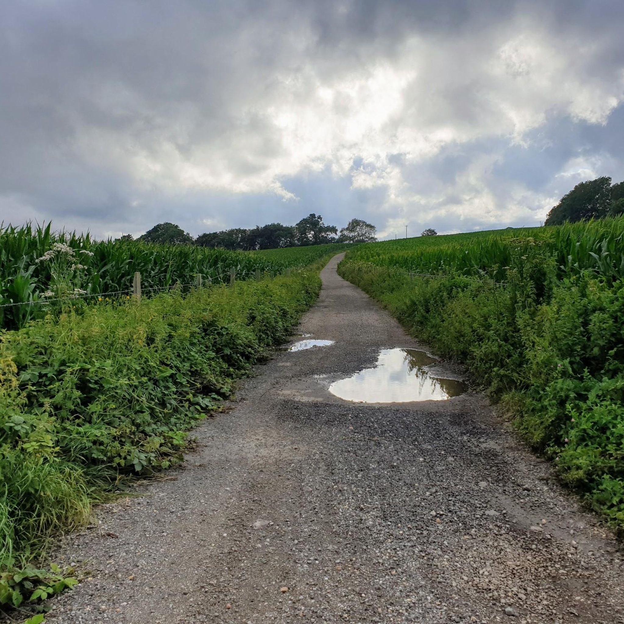
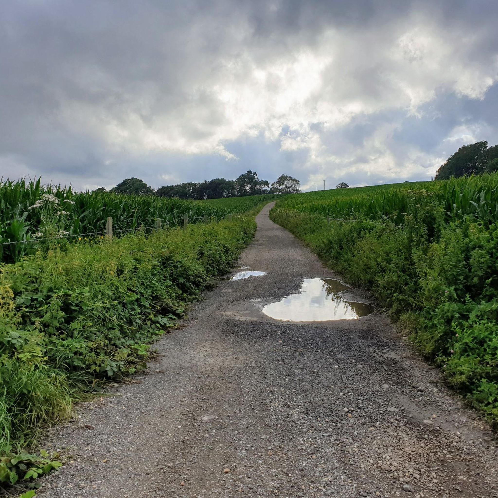
This footpath follows the edge of fields up a track lined with trees. It's a useful trail joining Steyning with the South Downs Way National Trail.
0
0

A 'Sixpath' or a crossing of six footpaths sits on the Monarch's Way high above Shoreham On Sea. It literally joins and provides access to all of the local hiking routes. With commanding views you can see far out over the South Downs National Park and out into the English Channel. There is even a bench to enjoy it from. Apart from that it's not a bad spot!
1
0
The Downs Link is a beautiful long-distance route for walkers, horse riders, and cyclists that follows two disused railway lines. It crosses the Surrey Hills, the Low Weald, the South Downs, and the Coastal Plain. Since the trains departed in the 1960s, the embankments and cuttings have become a green corridor for wildlife and people.
2
0
High up and commanding stunning views of the South Downs National Park stands this memorial to Mr. and Mrs. Walter Langmead, who were local farmers. The memorial has been erected to give weary walkers and cyclists the chance to rest after climbing up from the nearby picturesque Steyning Bowl.
2
0

A six-way footpath crossing stands high on the South Downs, providing access to many excellent hiking routes. The views from here span as far as the eye can see, including over the beautiful Sussex countryside and out to the English Channel.
3
0
Chanctonbury Ring is a prehistoric hill fort atop Chanctonbury Hill on the South Downs, on the border of the civil parishes of Washington and Wiston in the English county of West Sussex. It is 242m high and is a designated Marilyn. There is a trig point on a nearby sub-summit.
3
0

Perfectly placed on the High Street so you can get to it from the main road or if you drop down from the Bostal.
0
0
슈타이닝 주변에서 가장 인기 있는 명소


더 살펴보기
다른 지역의 최고의 하이킹를 살펴보세요.
