상부 비딩 최고의 워킹 & 하이킹 경로
4.6
(2095)
21,572
등산객
46
하이킹
Komoot에 등록된 상부 비딩 내 트레일 및 경로 컬렉션 중에서 하이킹과 워킹을 가장 멋지게 즐길 수 있는 곳을 알려드릴게요. 아래에서 각 경로의 상세 정보를 모두 확인한 후, 상부 비딩 속 자연에서 즐거운 시간을 누려보세요.
마지막 업데이트: 8월 30, 2026
3.0
(2)
13
등산객
11.4km
03:18
300m
300m
보통 하이킹. 좋은 체력 필요. 대부분 갈 수 있는 길. 미끄러지지 않게 조심해야 함.
4.0
(2)
63
등산객
11.8km
03:00
30m
30m
보통 하이킹. 좋은 체력 필요. 실력과 관계없이 누구나 쉽게 갈 수 있는 길.

무료 회원 가입
4.7
(10)
64
등산객
23.9km
06:58
640m
640m
어려운 하이킹. 우수한 체력 필요. 실력과 관계없이 누구나 쉽게 갈 수 있는 길.
4.3
(3)
90
등산객
14.7km
04:13
360m
360m
보통 하이킹. 좋은 체력 필요. 실력과 관계없이 누구나 쉽게 갈 수 있는 길.
4.4
(7)
56
등산객
16.9km
04:36
240m
240m
보통 하이킹. 좋은 체력 필요. 실력과 관계없이 누구나 쉽게 갈 수 있는 길.
더 다양한 경로와 다른 탐험가들의 추천을 살펴보세요.
무료 회원 가입
이미 komoot 계정이 있나요?
투어 추천은 다른 사람들이 komoot에서 완료한 수천 개의 활동을 바탕으로 구성되어 있습니다.



커뮤니티 팁

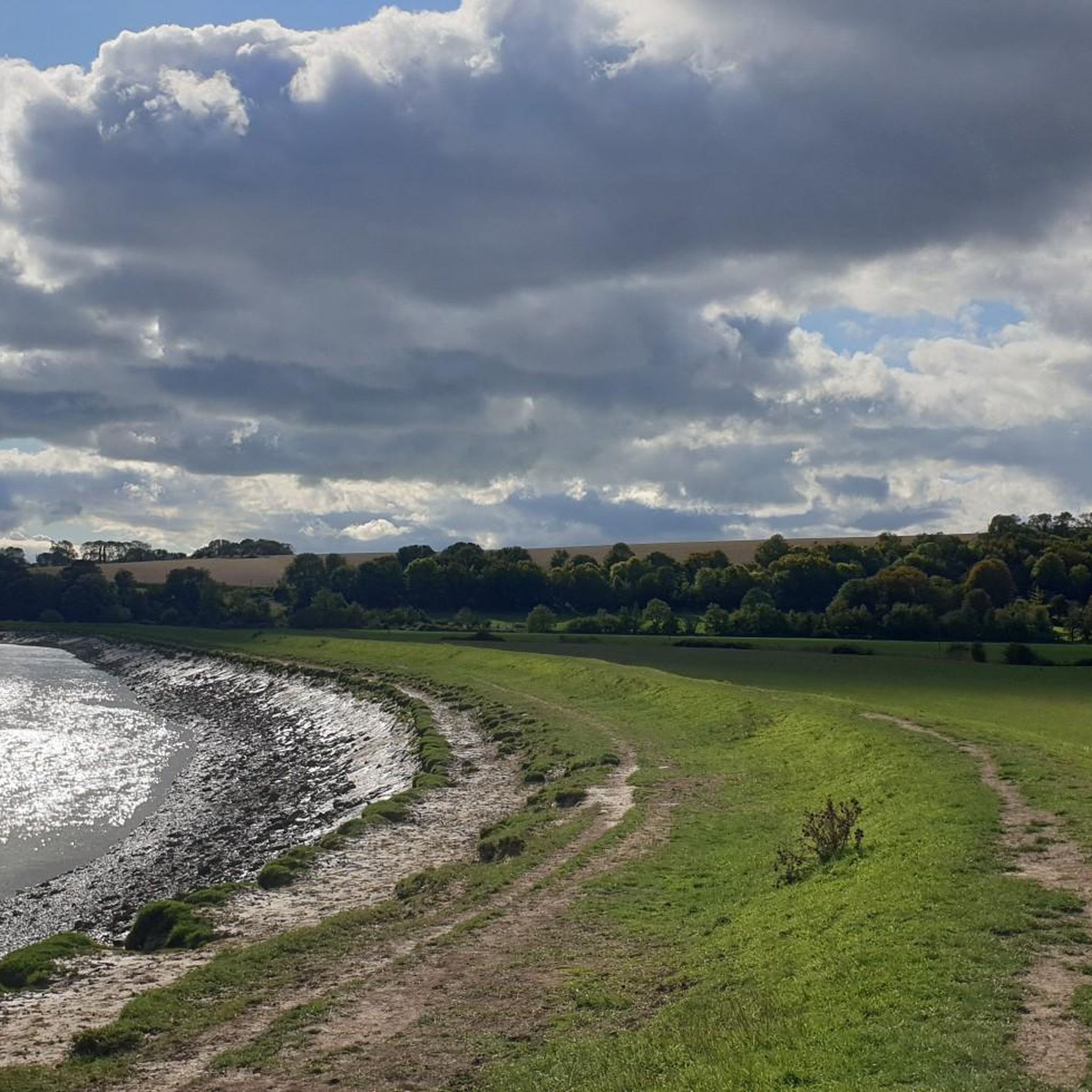
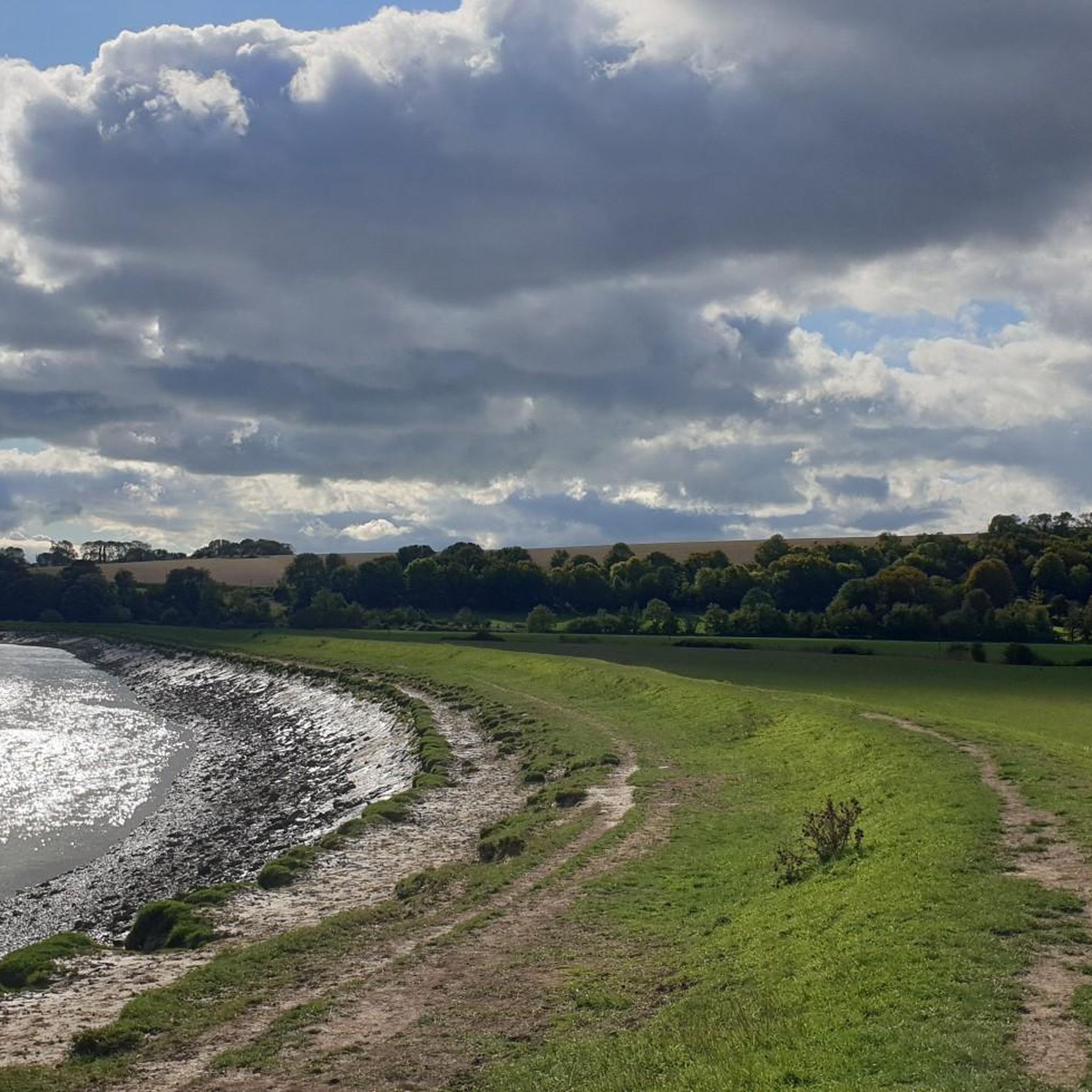
Adur 강 계곡은 풍경이 매우 아름다운 지역입니다!
0
0
강을 가로지르는 오래된 나무 다리로, 이제는 자전거와 보행자만 이용할 수 있습니다. 강 서쪽에는 큰 Lancing College가 보입니다.
0
0

a great stop for sightseeing - no shade or cover but worth the view regardless
0
0

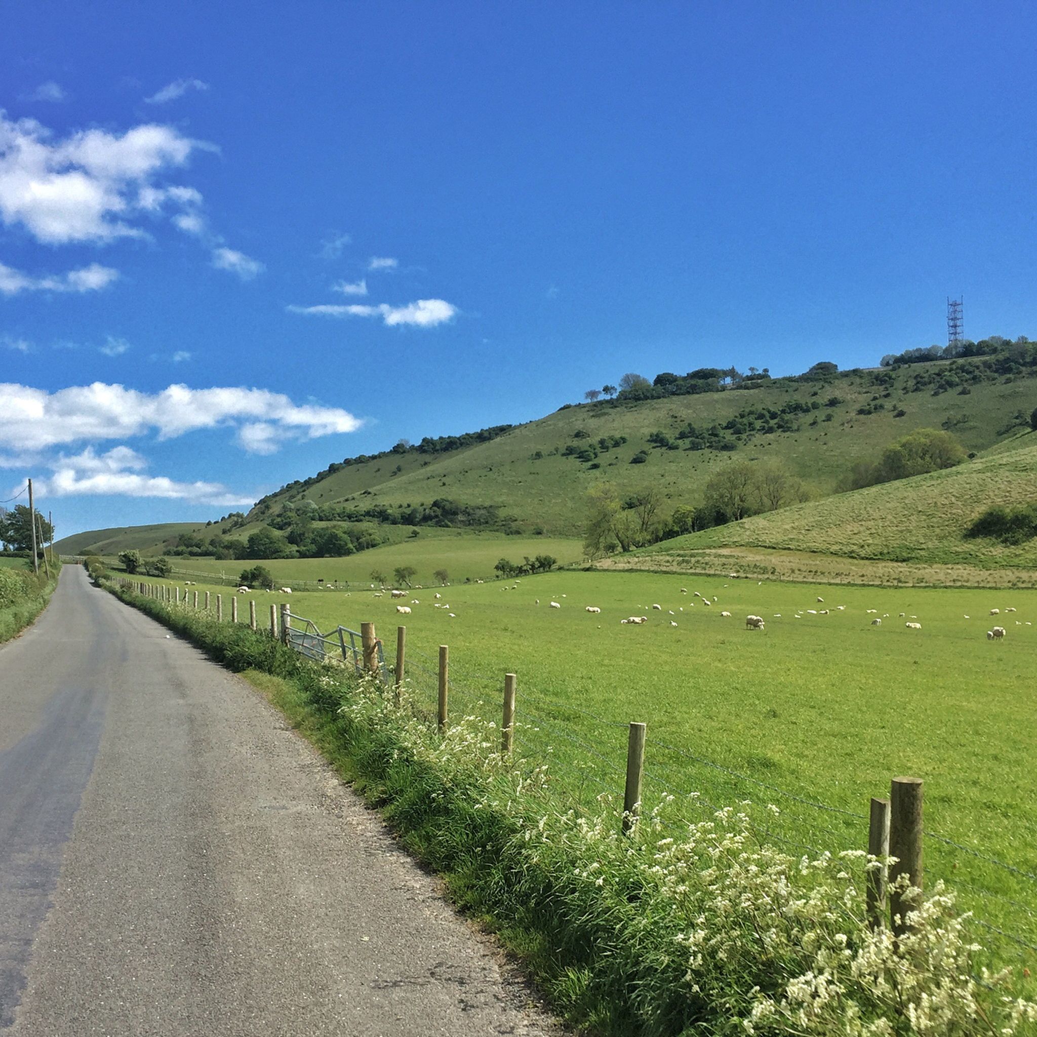
Devil’s Dyke is the largest chalk land dry combe in Britain and an area of great beauty. It is a V-shaped valley that has the South Downs Way traversing it immediately south of its location. It also has a multivallate Iron Age hill fort adjacent to it to the west, where on some high ground there is a trig pint that sits on the southern rampart of the fort. At just over 710 feet high (217 m), it is not very high, but the views out over Adder Bottom and the South Downs towards the coast are superb.
2
0
This is a lovely spot, and not far from Devils Dyke. There are stunning views to be had out over the South Downs from here.
0
0
This is a beautiful spot, there is a trig point that is placed on one of the ramparts of the actual Iron Age hillfort here. It is very popular with walkers, and families. The valley bowl is also particularly beautiful.
1
0
Nice trig point placed on one of the actual ramparts of an Iron Age hillfort.
0
0
상부 비딩 주변에서 가장 인기 있는 명소


더 살펴보기
다른 지역의 최고의 하이킹를 살펴보세요.
