하부 홀스토우 최고의 워킹 & 하이킹 경로
4.3
(200)
1,711
등산객
140
하이킹
Komoot에 등록된 하부 홀스토우 내 트레일 및 경로 컬렉션 중에서 하이킹과 워킹을 가장 멋지게 즐길 수 있는 곳을 알려드릴게요. 아래에서 각 경로의 상세 정보를 모두 확인한 후, 하부 홀스토우 속 자연에서 즐거운 시간을 누려보세요.
마지막 업데이트: 10월 7, 2026
4.0
(3)
8
등산객
보통 하이킹. 좋은 체력 필요. 실력과 관계없이 누구나 쉽게 갈 수 있는 길.
4.0
(3)
14
등산객
9.21km
02:20
20m
20m
보통 하이킹. 좋은 체력 필요. 실력과 관계없이 누구나 쉽게 갈 수 있는 길.

9
등산객
6.33km
01:37
20m
20m
초급용 하이킹. 모든 체력 수준에 적합. 실력과 관계없이 누구나 쉽게 갈 수 있는 길.
3.0
(1)
5
등산객
5.67km
01:28
30m
30m
초급용 하이킹. 모든 체력 수준에 적합. 실력과 관계없이 누구나 쉽게 갈 수 있는 길.
5
등산객
6.70km
01:43
30m
30m
초급용 하이킹. 모든 체력 수준에 적합. 실력과 관계없이 누구나 쉽게 갈 수 있는 길.
더 다양한 경로와 다른 탐험가들의 추천을 살펴보세요.
이미 komoot 계정이 있나요?
투어 추천은 다른 사람들이 komoot에서 완료한 수천 개의 활동을 바탕으로 구성되어 있습니다.
오늘 무료 계정으로 시작하세요
다음 모험이 기다리고 있어요.
하부 홀스토우 주변 인기 장소
커뮤니티 팁

Swale Station is a small, unmanned railway stop located on the Sittingbourne to Sheerness line in Kent, England. Opened in 1922 to serve the nearby Kingsferry Bridge, it primarily caters to local passengers and walkers exploring the surrounding marshlands and the England Coast Path. The station features two short platforms connected by a level crossing and offers a quiet, rural atmosphere with views of the Swale estuary. Though minimal in facilities, Swale Station provides convenient access to the Isle of Sheppey and serves as a tranquil gateway between the mainland and the island’s scenic landscapes.
0
0

On 5 September 2013, a huge pile-up occurred on the southbound carriageway of the Sheppey Crossing, which at the time was a covered in heavy fog.
1
0
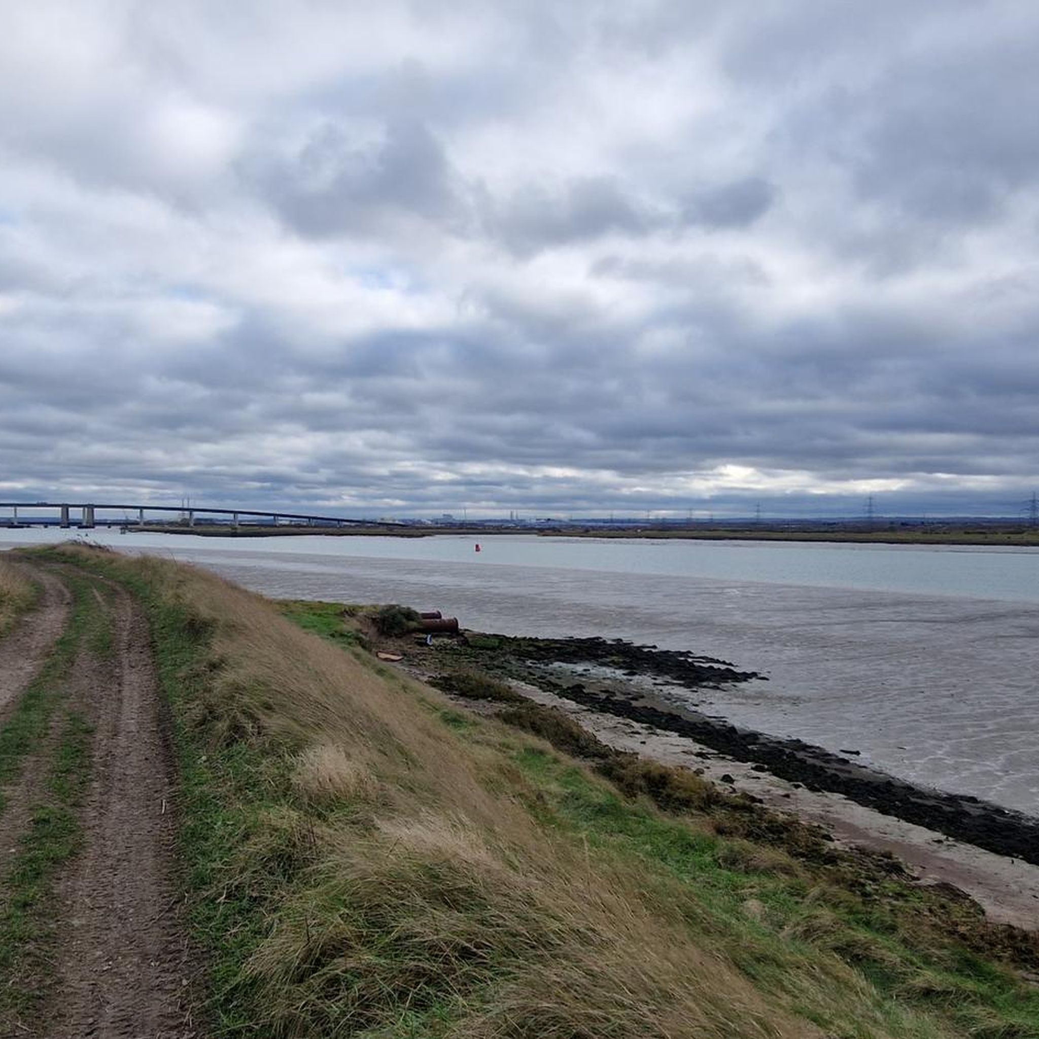
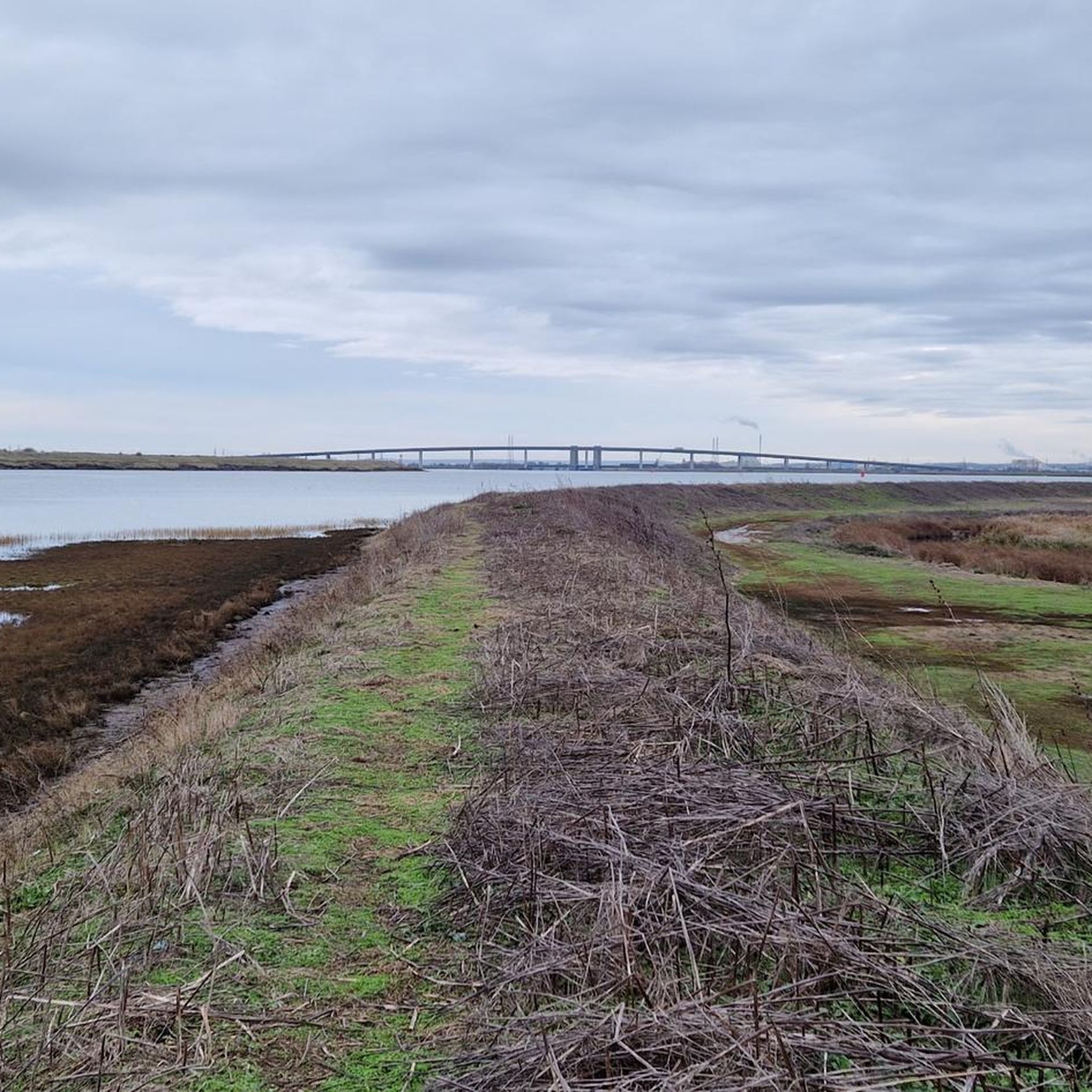
The Sheppey Crossing is a bridge which carries the A249 road across the Swale linking the Isle of Sheppey with the mainland of Kent.
0
0

St Margaret of Antioch is an 11th-century village church, situated on the banks of the river Medway. The church has an ancient font and has been in use for over 8oo years. Some wall paintings and other item of historical significance. A history of the village and church is available in the church.
0
0
The new elegant-looking bridge out to the Isle of Sheppy and the original bridge which includes the railway cross. The four-lane crossing measures 21.5 m (71 feet) in width, at a height of 35 m (115 feet) over the water. The bridge opened in 2006, and it provides an alternative highway to the neighboring Kingsferry Bridge which was completed in 1959.
0
0

St Mary the Virgin Church was founded in 1187 and is Grade I-listed. The church has a very distinctive two-stage battered tower. Whilst there has been restorations over the years, you can observe many historic features, including the 13th-century chancel, 14th-century nave and east chapels, 14th-century wall tomb, and glass that has survived since the 13th century.
1
0

some foot paths are blocked after heavy rain
0
0
하부 홀스토우 주변에서 가장 인기 있는 명소


더 살펴보기
다른 지역의 최고의 하이킹를 살펴보세요.
