평화의 안식처 최고의 워킹 & 하이킹 경로
4.6
(2419)
20,563
등산객
33
하이킹
Komoot에 등록된 평화의 안식처 내 트레일 및 경로 컬렉션 중에서 하이킹과 워킹을 가장 멋지게 즐길 수 있는 곳을 알려드릴게요. 아래에서 각 경로의 상세 정보를 모두 확인한 후, 평화의 안식처 속 자연에서 즐거운 시간을 누려보세요.
마지막 업데이트: 11월 17, 2026
4.0
(4)
41
등산객
5.25km
01:23
50m
50m
초급용 하이킹. 쉽게 걸을 수 있는 길.
12
등산객
8.73km
02:25
150m
150m
보통 하이킹. 좋은 체력 필요. 쉽게 걸을 수 있는 길.

4.0
(1)
11
등산객
13.9km
03:41
130m
130m
보통 하이킹. 좋은 체력 필요. 쉽게 걸을 수 있는 길.
4.8
(4)
24
등산객
13.1km
03:38
240m
240m
보통 하이킹. 좋은 체력 필요. 쉽게 걸을 수 있는 길.
5.0
(1)
30
등산객
3.64km
00:59
50m
50m
초급용 하이킹. 쉽게 걸을 수 있는 길.
더 다양한 경로와 다른 탐험가들의 추천을 살펴보세요.
이미 komoot 계정이 있나요?
투어 추천은 다른 사람들이 komoot에서 완료한 수천 개의 활동을 바탕으로 구성되어 있습니다.
오늘 무료 계정으로 시작하세요
다음 모험이 기다리고 있어요.
커뮤니티 팁


The Abergavenny Arms is just a 15 minute walk down the hill. It's a nice little 15th century pub serving good beer and food, with a beer garden and a well in the dining area
0
0

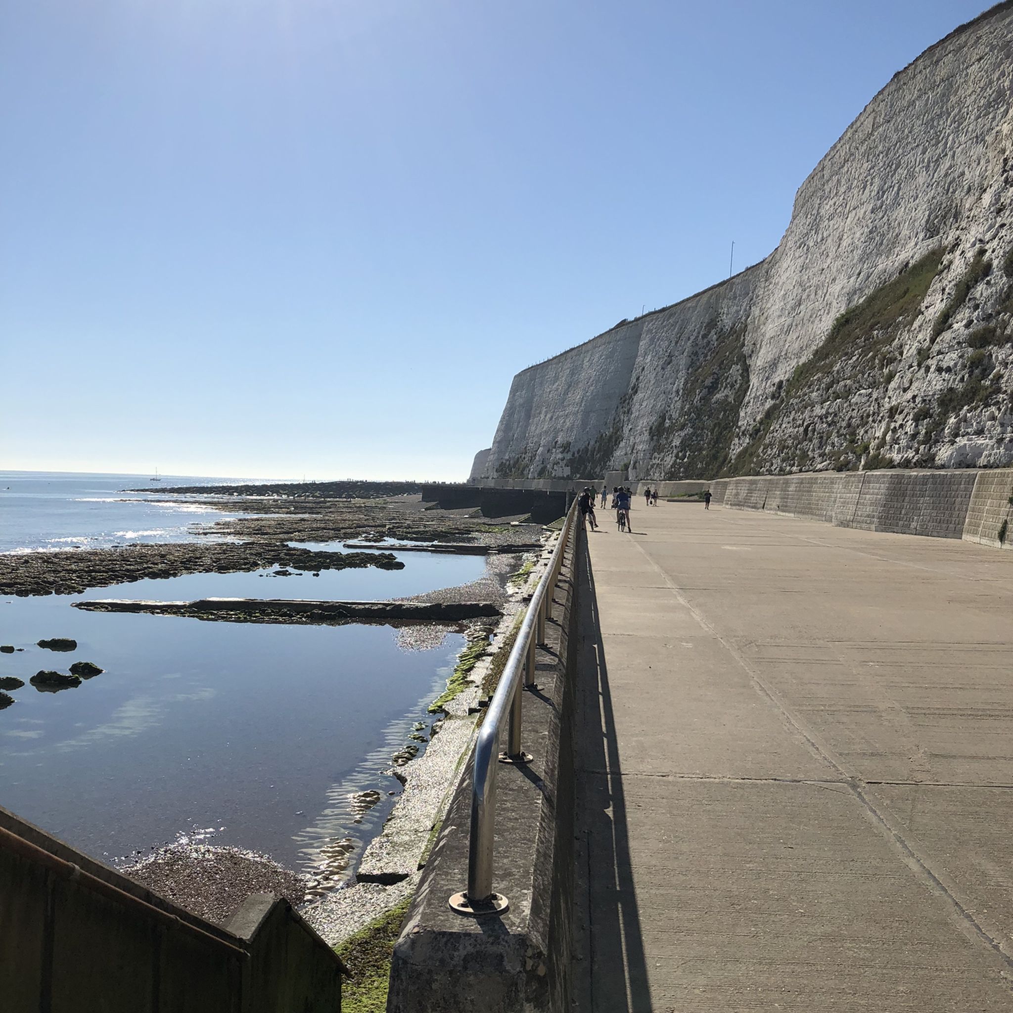
former filming location of Mr. Bean's beach trip🤣
0
0

Lovely bucolic scene of countryside and Lewes in the distance from this point in the South Downs.
1
0
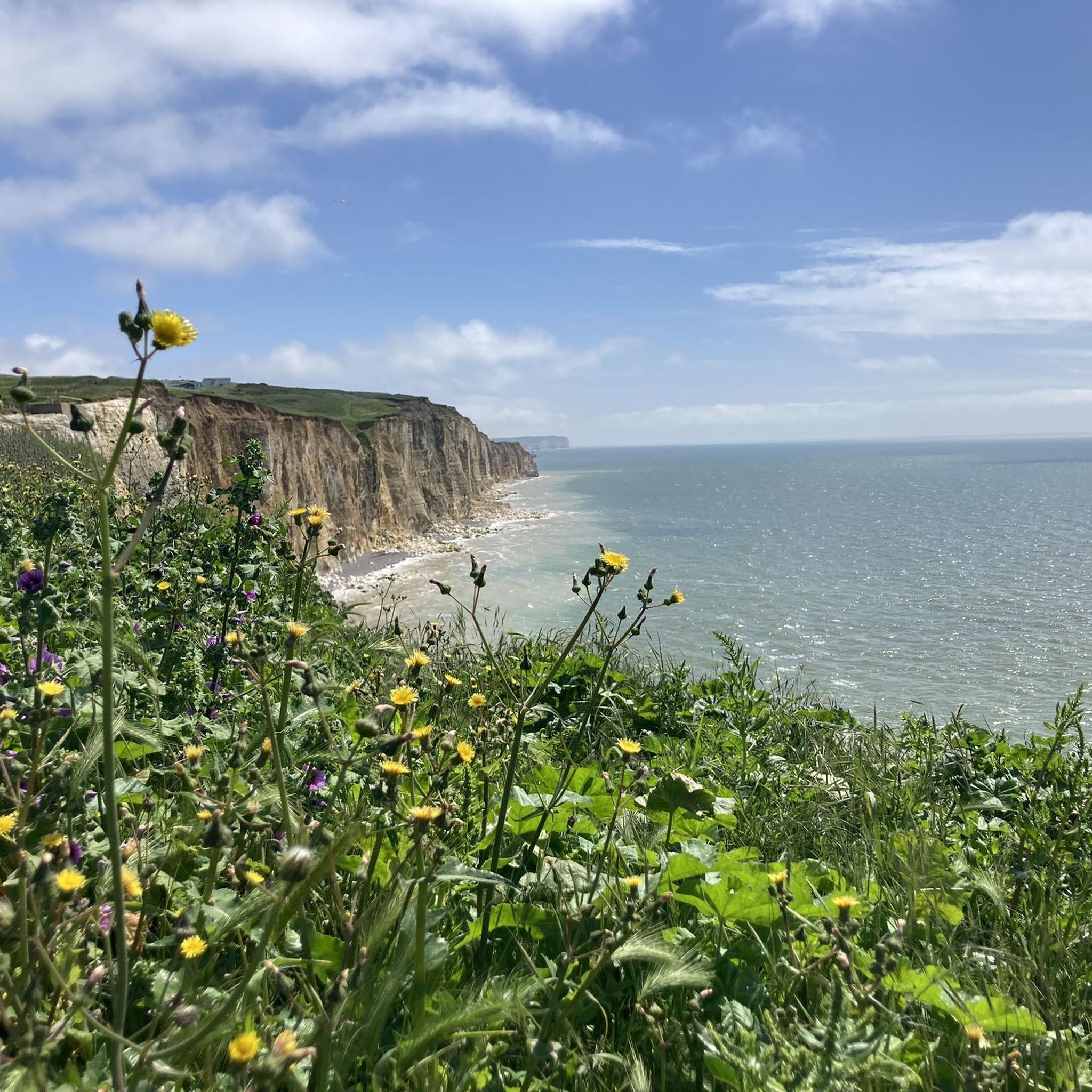
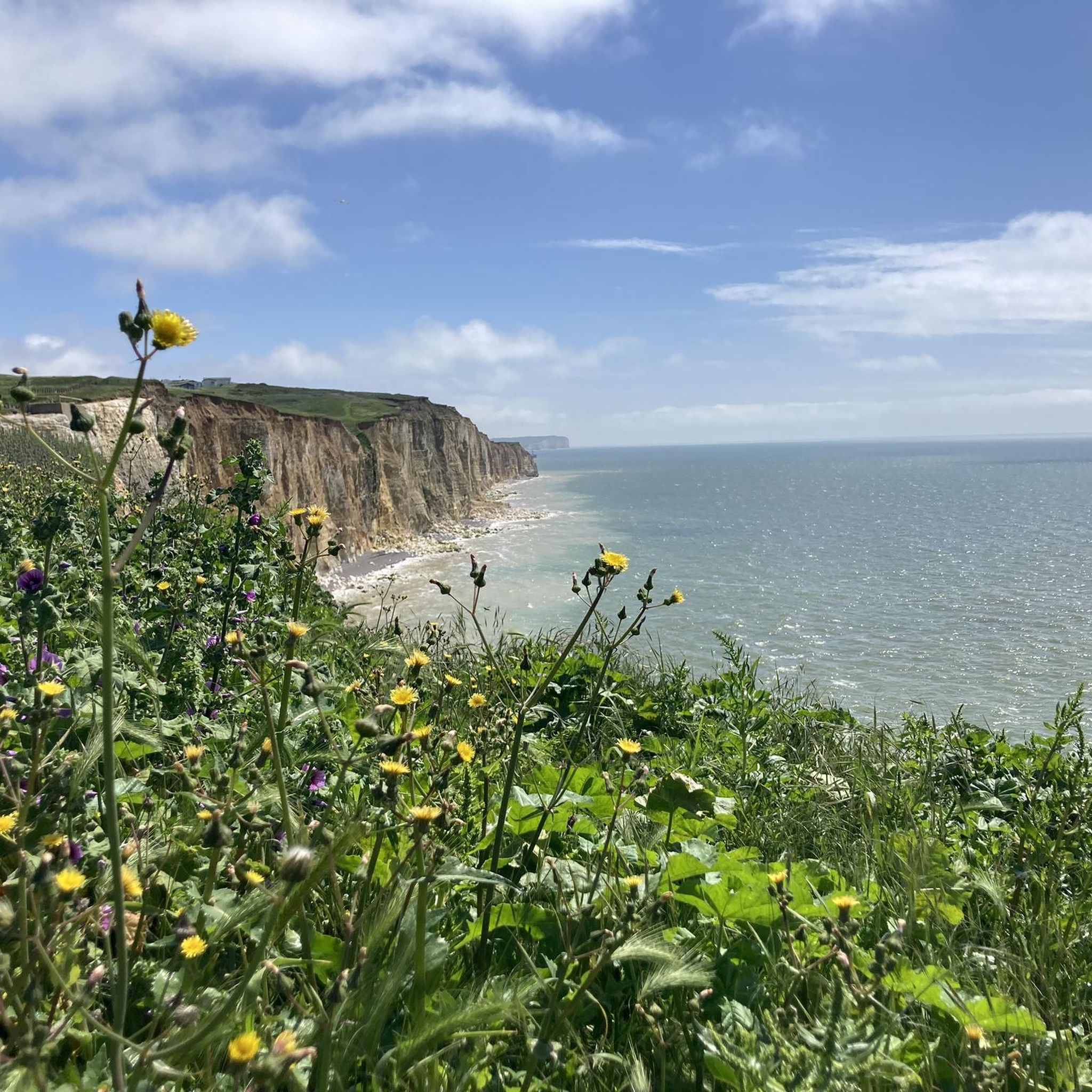
The Cliff Top Walk in Newhaven offers stunning panoramic views of the coastline with dramatic cliffs and the sparkling sea below. It's a peaceful and scenic route perfect to enjoy fresh sea air and natural beauty.
1
0

At this point on the British Channel coast, the prime meridian leaves England to meet the European mainland in Villers-Sur-Mer (Normandy) in France. It is an imaginary border line that - starting from the London district of Greenwich, where the heart of the British Navy has beaten for centuries and where the Royal Observatory was located - circles the globe and includes the division into eastern and western longitudes. The ability to navigate using the exact determination of longitude and latitude was an epochal milestone in seafaring. A film contribution (in German) from the series "Treasures of the World - Heritage of Humanity" explains the facilities in Greenwich, which are part of the UNESCO World Heritage Site, and discusses the problem of longitude measurement that was solved there. The film can be found in the ARD media library at the following link https://www.ardmediathek.de/video/schaetze-der-welt/maritime-greenwich-grossbritannien-folge-194/swr/Y3JpZDovL3N3ci5kZS83MDM1NjMw
1
0
The importance of the prime meridian, especially for the navigation of ships based on the exact determination of longitude, was an epochal milestone in the history of seafaring. The system was developed in Greenwich near London, hence the name "Greenwich Line". At this point on the British coast it leaves England and crosses the English Channel. In Villers-Sur-Mer (Normandy, France) it then meets the European mainland. This point is also marked with a highlight in komoot, see https://www.komoot.com/de-de/highlight/480822
0
0
평화의 안식처 주변에서 가장 인기 있는 명소


더 살펴보기
다른 지역의 최고의 하이킹를 살펴보세요.
