그레이트 쉘포드 교구 최고의 사이클링 경로
4.5
(40)
428
자전거 타는 사람
35
라이딩
그레이트 쉘포드 교구 최고의 사이클링 경로를 찾으시나요? 그레이트 쉘포드 교구에서 가장 멋진 자전거 라이딩 장소를 살펴본 후에 바로 떠나보세요. 여기서 마음에 드는 경로만 고르시면 돼요!
마지막 업데이트: 8월 30, 2026
3.5
(4)
50
자전거 타는 사람
19.6km
01:07
70m
70m
초급용 자전거 라이딩. 모든 체력 수준에 적합. 대부분 포장된 지면. 실력과 관계없이 누구나 갈 수 있음.
47
자전거 타는 사람
11.5km
00:39
20m
20m
초급용 자전거 라이딩. 모든 체력 수준에 적합. 대부분 포장된 지면. 실력과 관계없이 누구나 갈 수 있음.

무료 회원 가입
3.8
(4)
34
자전거 타는 사람
85.8km
05:02
380m
380m
어려운 자전거 타기. 우수한 체력 필요. 대부분 포장된 지면. 실력과 관계없이 누구나 갈 수 있음.
4.3
(7)
33
자전거 타는 사람
40.4km
02:26
90m
90m
보통 자전거 타기. 좋은 체력 필요. 대부분 포장된 지면. 실력과 관계없이 누구나 갈 수 있음.
4.8
(4)
25
자전거 타는 사람
43.4km
03:07
190m
190m
보통 자전거 타기. 좋은 체력 필요. 대부분 포장된 지면. 실력과 관계없이 누구나 갈 수 있음.
더 다양한 경로와 다른 탐험가들의 추천을 살펴보세요.
무료 회원 가입
이미 komoot 계정이 있나요?
투어 추천은 다른 사람들이 komoot에서 완료한 수천 개의 활동을 바탕으로 구성되어 있습니다.
오늘 무료 계정으로 시작하세요
다음 모험이 기다리고 있어요.
로그인 또는 가입하기

커뮤니티 팁

Small village really worth visiting on a bike tour with several nice houses.
1
0

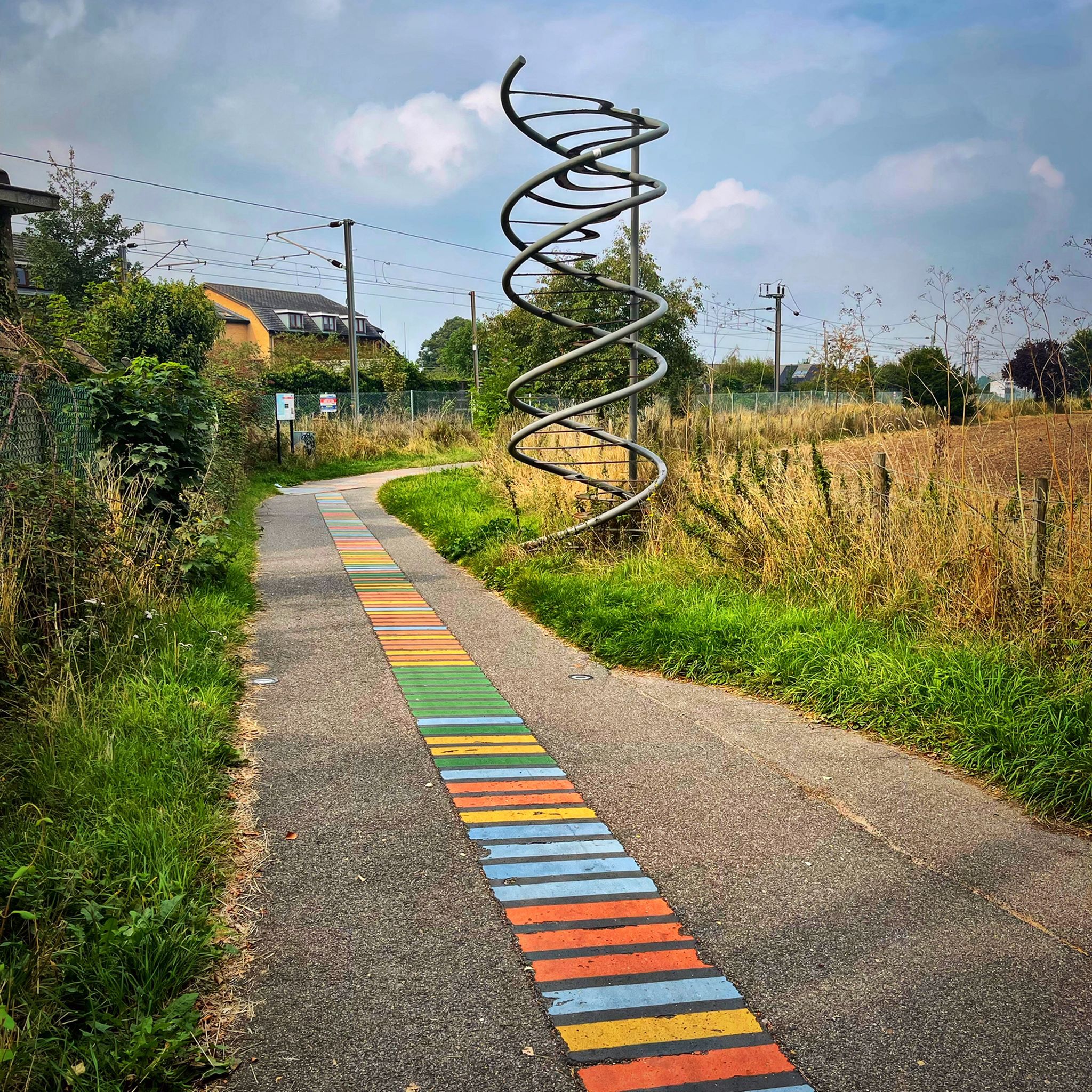
Lovely bit of street art on the side of the Chisholm Trail bridge.
1
0
The Windmill at Fulbourn stands on an outlier of the Gog Magog Hills 4 miles east of the City of Cambridge. Low chalk hills run to the south of it; northwards the Windmill overlooks the Fens which are at most only a few feet above sea level. The cap of the Windmill rises to 160 feet above sea-level and from it there is an uninterrupted view of the roofs and towers of Ely Cathedral. It has long been an outstanding landmark in the south Cambridgeshire countryside. It was the enclosure of the parish for the improvement of cultivation that led to the building of the present Windmill. Much of the land in the north of the parish was low-lying and waterlogged and needed draining to convert it into profitable arable land. Fulbourn Fen was a peat fen only 20 feet above sea level over which the Great Wilbraham River spread its waters in times of flood. The Act of Enclosure for Fulbourn was passed in 1806 and the Commissioners completed their work two years later. The drainage of the parish reduced the level of water in the upper reaches of the Great Wilbraham River on which the manorial watermill was situated. The loss of power brought to an end the life of a mill which had first been recorded in Domesday Book. In 1808 the machinery of the watermill was put up for sale. A new mill was therefore needed and the Enclosure Commissioners allotted one acre on Mill Hill, on which to build a mill and miller’s cottage, to John Chaplin, a considerable landowner and farmer. He used copies of Old Moore’s Almanack as a diary, entering personal events and business notes in the margins of the calendar. In 1808 he recorded against 11 July, ‘I laid the first brick of my mill’; 22 November, ‘Mill sails put up’; 15 December, ‘Began grinding’. It is a large octagonal smock mill with a brick base and wooden superstructure. Its outline is squat with a shallow conical cap. The fantail, as usual in Cambridgeshire mills, is close against the cap. The mill holds three stones, one of French burr and two of Derbyshire stone. With floors 24 feet in diameter, there is exceptional space for working the mill. (https://fulbournwindmill.org.uk/history.html)
1
0

A nice peaceful towpath ( if it’s quiet) runs from Chesterton, past Milton and ends at Clayhithe bridge.
0
0
A good place to cross the river Cam, makes a good short cut from Newmarket Road to Chesterton.
0
0
A pleasant ride along the river Cam, cycle paths are smooth and fast flowing, look out for cows, they have a habit of hanging out near the gates!
0
0


Haslingfield is a charming, thriving village in South Cambridgeshire. It has two beautiful churches, a number of quaint properties, and a pleasant, serene village ambience. The village easily dates back to mediaeval times, and even Queen Elizabeth I stayed here back in 1564.
2
0
그레이트 쉘포드 교구 주변에서 가장 인기 있는 명소


더 살펴보기
다른 지역의 최고의 자전거 경로를 살펴보세요.
