경로

플래너

기능

업데이트

App

로그인 또는 가입

앱 다운로드

로그인 또는 가입

로그인 또는 가입

경로
하이킹
독일
바이에른
낮은 프랑코니아
아샤펜부르크

바이베르스브룬

바이베르스브룬 최고의 워킹 & 하이킹 경로

4.6

(9943)

38,986

등산객

34

하이킹

Komoot에 등록된 바이베르스브룬 내 트레일 및 경로 컬렉션 중에서 하이킹과 워킹을 가장 멋지게 즐길 수 있는 곳을 알려드릴게요. 아래에서 각 경로의 상세 정보를 모두 확인한 후, 바이베르스브룬 속 자연에서 즐거운 시간을 누려보세요.

마지막 업데이트: 5월 20, 2026

4.8

(12)

33

등산객

#1.

Weibersbrunn에서 출발하는 메스펠브룬 성 – Weibersbrunn 전망 순환 코스

18.2km

05:08

390m

390m

어려운 하이킹. 우수한 체력 필요. 실력과 관계없이 누구나 쉽게 갈 수 있는 길.

기기에서 길안내

휴대폰으로 전송

저장

어려움

보통 하이킹. 좋은 체력 필요. 실력과 관계없이 누구나 쉽게 갈 수 있는 길.

보통
guide_signup
저희가 komoot 모바일 앱로 길을 안내해 드리겠습니다.
무료 komoot 계정로 끝없는 야외 모험을 손쉽게 찾고, 맞춤 설정하며 길안내할 수 있어요.

무료 회원 가입

초급용 하이킹. 모든 체력 수준에 적합. 실력과 관계없이 누구나 쉽게 갈 수 있는 길.

초급

보통 하이킹. 좋은 체력 필요. 실력과 관계없이 누구나 쉽게 갈 수 있는 길.

보통

어려운 하이킹. 우수한 체력 필요. 실력과 관계없이 누구나 쉽게 갈 수 있는 길.

어려움
무료 회원 가입 후 바이베르스브룬 주변 하이킹 경로를 30개 더 확인하세요

더 다양한 경로와 다른 탐험가들의 추천을 살펴보세요.

무료 회원 가입

이미 komoot 계정이 있나요?

투어 추천은 다른 사람들이 komoot에서 완료한 수천 개의 활동을 바탕으로 구성되어 있습니다.

오늘 무료 계정으로 시작하세요

다음 모험이 기다리고 있어요.
로그인 또는 가입하기

바이베르스브룬 주변 인기 장소

바이베르스브룬 로드 사이클링 경로

바이베르스브룬 MTB 트레일

바이베르스브룬 사이클링

바이베르스브룬 러닝 트레일

바이베르스브룬 주변 그래블 라이딩

커뮤니티 팁

wanderfalke manfred falke
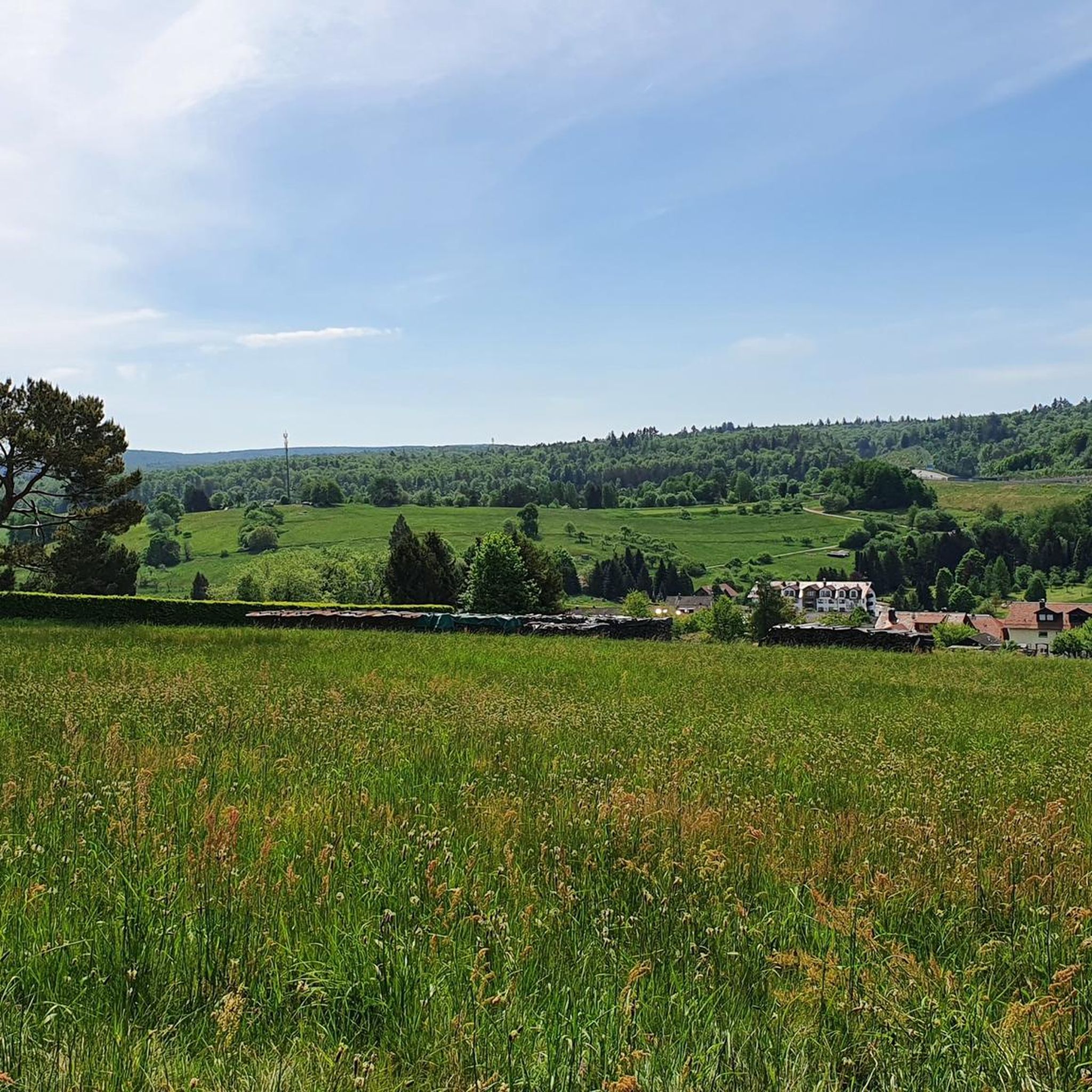
5월 21, 2026, Baum und Holzstapel auf der Wiese

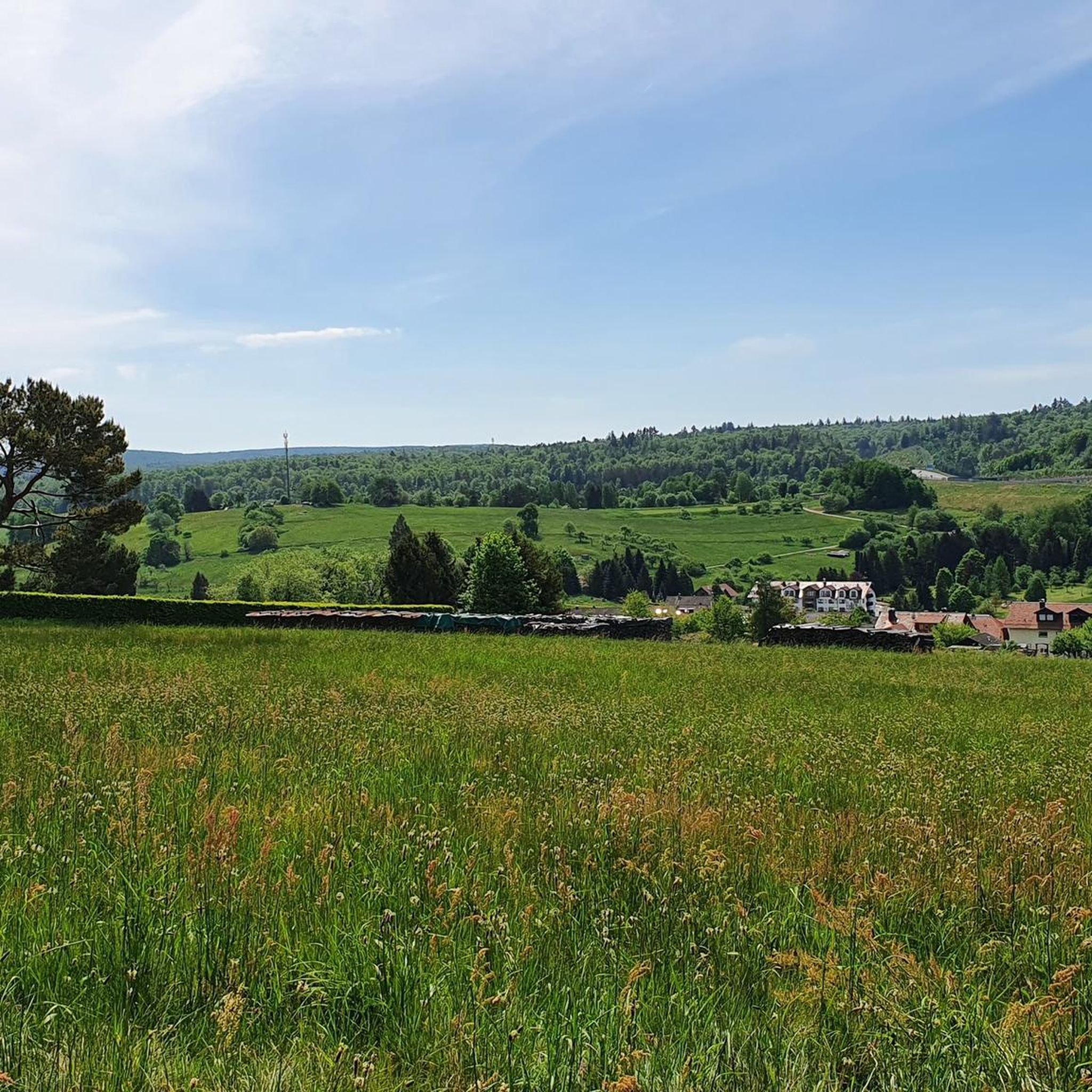
나무 벤치가 즐비합니다. 좋은 산림 경영을 보여줍니다. 지속 가능성과 건강하고 잘 관리된 숲을 위한 규제된 숲 가꾸기

번역: Google

0

0

예전에는 이곳에 성화대가 있었습니다. 그것이 무너진 후 십자가가 세워졌습니다. 잠시 앉아서 멈추세요

번역: Google

0

0

이 Räuberpfad(도적길)의 이름은 그 자체로 말해줍니다: "평온의 섬". 7.2km로 다른 Räuberpfad보다 훨씬 짧지만, 첫째로 424m의 고도 상승이 있고, 둘째로 길의 모든 미터가 즐거움입니다.

번역: Google

0

0

The church is open daily from 9:30 a.m. to 5:00 p.m. The interior is rather simple, but still worth seeing.

번역: Google

1

0

The Hafenlohr is a 26.5 km long (27.7 km including the Tiergartenbach) right tributary of the Main River in the districts of Aschaffenburg and Main-Spessart in the Bavarian Spessart region. The Hafenlohr rises from two springs in the municipality of Rothenbuch. The longer and occasionally more water-rich branch is the Tiergartenbach, which often dries up on dry days. Officially, it is considered the upper course of the Hafenlohr main watercourse. The source, known as the Hafenlohr Spring, in the center of the village provides water almost year-round. The Hafenlohr Spring is located at Rothenbuch Castle. It was encased in sandstone during the road widening of the St 2317. Its water flows northwest through the castle moat and, after about 100 meters, flows from the left bank into the bed of the Tiergartenbach, which flows from the Tiergartengrund on the northern edge of the village and is already 1.3 km[7] long. It doesn't provide water year-round, but at times it provides more than the perennial spring at the castle. The spring at the castle was probably once a meeting place for hunters in the eastern Spessart, which is why construction of a hunting lodge began here in 1342. The spring water fed the castle moat and several surrounding trout lakes, which no longer exist. Source and further information: https://de.wikipedia.org/wiki/Hafenlohr_(Fluss)

번역: Google

1

0

The Hafenlohr is a 26.5 km long (27.7 km including the Tiergartenbach) right tributary of the Main River in the districts of Aschaffenburg and Main-Spessart in the Bavarian Spessart region. The Hafenlohr rises from two springs in the municipality of Rothenbuch. The longer and occasionally more water-rich branch is the Tiergartenbach, which often dries up on dry days. Officially, it is considered the upper course of the Hafenlohr main watercourse. The source, known as the Hafenlohr Spring, in the center of the village provides water almost year-round. The Hafenlohr Spring is located at Rothenbuch Castle. It was encased in sandstone during the road widening of the St 2317. Its water flows northwest through the castle moat and, after about 100 meters, flows from the left bank into the bed of the Tiergartenbach, which flows from the Tiergartengrund on the northern edge of the village and is already 1.3 km[7] long. It doesn't provide water year-round, but at times it provides more than the perennial spring at the castle. The spring at the castle was probably once a meeting place for hunters in the eastern Spessart, which is why construction of a hunting lodge began here in 1342. The spring water fed the castle moat and several surrounding trout lakes, which no longer exist. Source and further information: https://de.wikipedia.org/wiki/Hafenlohr_(Fluss)

번역: Google

1

0

The visit is worthwhile. The one-hour tour through six rooms of the castle is interesting. Photography is not permitted inside. The count's family still lives in the castle today. Countess Marie Antoinette von Ingelheim even waved us briefly from her private rooms.

번역: Google

0

0

Accessible only with a guide

번역: Google

0

0

바이베르스브룬 주변에서 가장 인기 있는 경로

바이베르스브룬 로드 사이클링 경로

바이베르스브룬 주변에서 가장 인기 있는 명소

Places to see

Store rating

komoot 모바일 앱으로 영감을 받아보세요

무료 komoot 계정로 끝없는 야외 모험을 손쉽게 찾고, 맞춤 설정하며 길안내할 수 있어요.

또는

지금 komoot에 가입하세요

Store rating

더 살펴보기

다른 지역의 최고의 하이킹를 살펴보세요.

알제나우메스펠브룬하임부헨탈묀브리스클라이노스트하임회스바흐Rothenbucher Forst베센바흐오버나우어 발트Hösbacher Wald회르슈타이너 호수하이겐브뤼켄담바흐왈다샤퍼 포레스트요하네스버그로르브루너 포레스트Rohrbrunner Forst사이라우프그로소스트하임하이바흐라우파흐칼 암 ​​마인로텐부흐칼슈타인 암 마인슐로제Heinrichthaler Forst비젠포레스트 하인 임 스페사르트Schöllkrippener ForstSchöllkrippener Forst쇤크리펜Rothenbucher Forst (Ost)가이젤바흐발다샤프클라인칼솜머칼블랑켄바흐Rohrbunner Forst메인파크제Ehemaliger Standortübungsplatz Aschaffenburg Und AltenbachgrundKrausenbacher Forst노이펠트제스톡슈타트 암 마인마이나샤프후켈하이머 발트Wiesener Forst웨스턴그룬드글라트바흐구스타프제하인리히슈탈로텐부허 포레스트하인리히슈탈러 포레스트Huckelheimer Wald세일라우퍼 숲Waldaschaffer Forst비세너 포레스트

근처 어드벤처 가이드

Rothenbucher Forst (Ost) 즐길거리

background

새로운 정복을 위한 준비를 하세요

무료로 가입하기

탐험하기
경로경로 플래너기능하이킹MTB 트레일로드 사이클링 경로바이크패킹사이트맵
앱 다운로드
소셜 미디어에서 팔로우하기

© komoot GmbH

개인 정보 보호 정책