20의 클레이 크로스가지 명소 & 주요 장소
클레이 크로스에는 둘러볼 만한 장소가 많답니다. 하이킹 또는 사이클링을 좋아한다면 클레이 크로스에 숨겨진 20
가지 보석을 만날 수 있을 거예요. 이 지역의 주요 명소를 살펴보면서 다음 모험을 계획해보세요.
마지막 업데이트: 9월 26, 2026
High Tor와 Giddy Edge
하이라이트 (구간) • 전망대
팁에 의해


이런 장소를 발견하려면 지금 가입하세요
최고의 싱글 트랙, 봉우리 및 다양한 흥미로운 야외 장소에 대한 추천을 받아보세요.
크롬퍼드 운하 산책로
하이라이트 (구간) • 강
팁에 의해

홀 레이스 파크, 매틀록
하이라이트 • 정착지
팁에 의해

리네이커 중부 저수지 남동쪽 코너
하이라이트 • 트레일
팁에 의해

무료로 가입하여 클레이 크로스 주변의 더 많은 명소를 발견하세요.
이미 komoot 계정이 있나요?
오늘 무료 계정으로 시작하세요
다음 모험이 기다리고 있어요.
커뮤니티 팁

A towpath (also known as a towpath or towpath), which runs alongside the river or canal, was an indispensable part of the transport infrastructure in earlier times. Before ships could be propelled by motor power, horses walked along the bank and pulled the vessel against the current. This activity was called "treideln" in German, and that's how the towpath got its name. Where these paths – running directly along the bank – have survived to this day, they no longer serve their original purpose, but are still popular with hikers and cyclists.
0
0


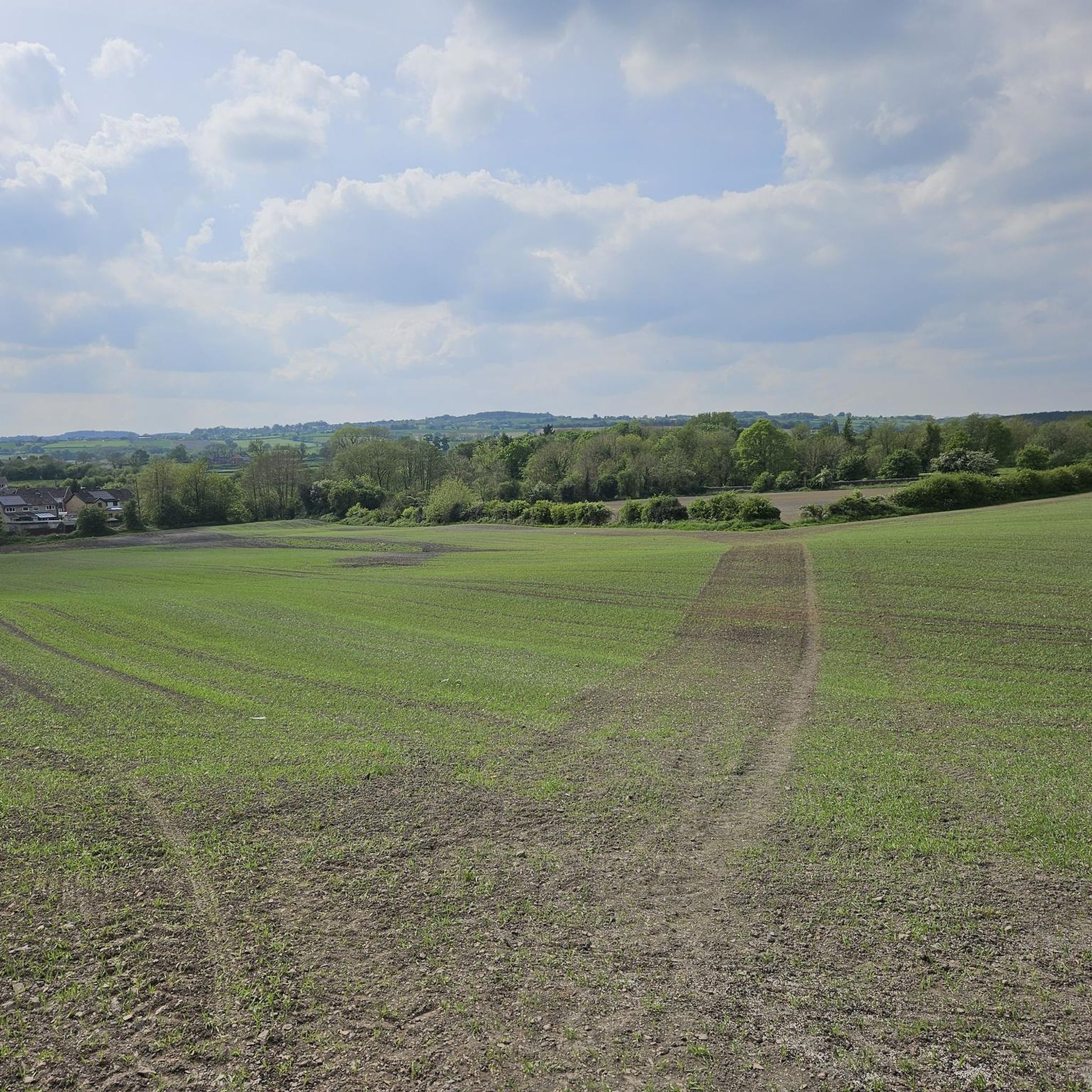
A really pretty and scenic stretch of canal with sparkling turquoise water. Amenities are available at High Peak Junction and Cromford Wharf.
0
0

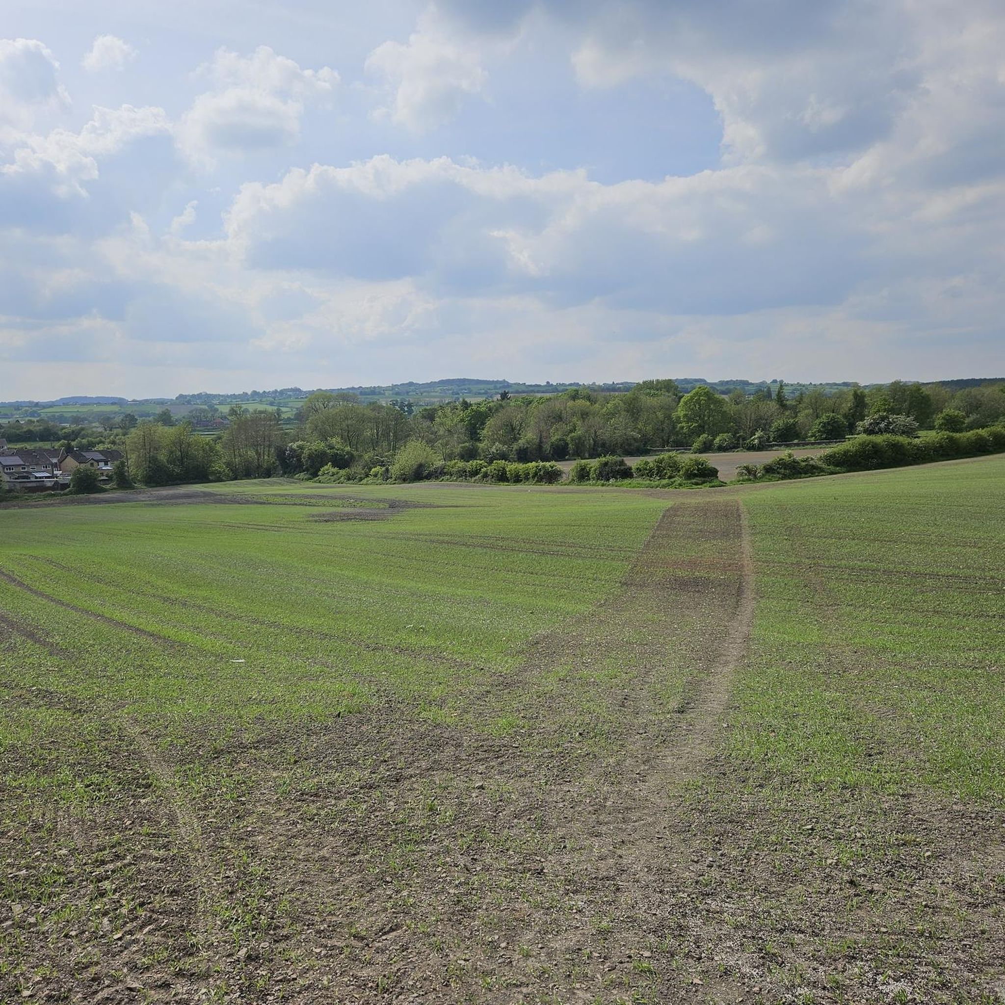
Good foot paths around Linacre , very wet and muddy once you leave them . Good waterproof boots and gaiters recommend .
0
0

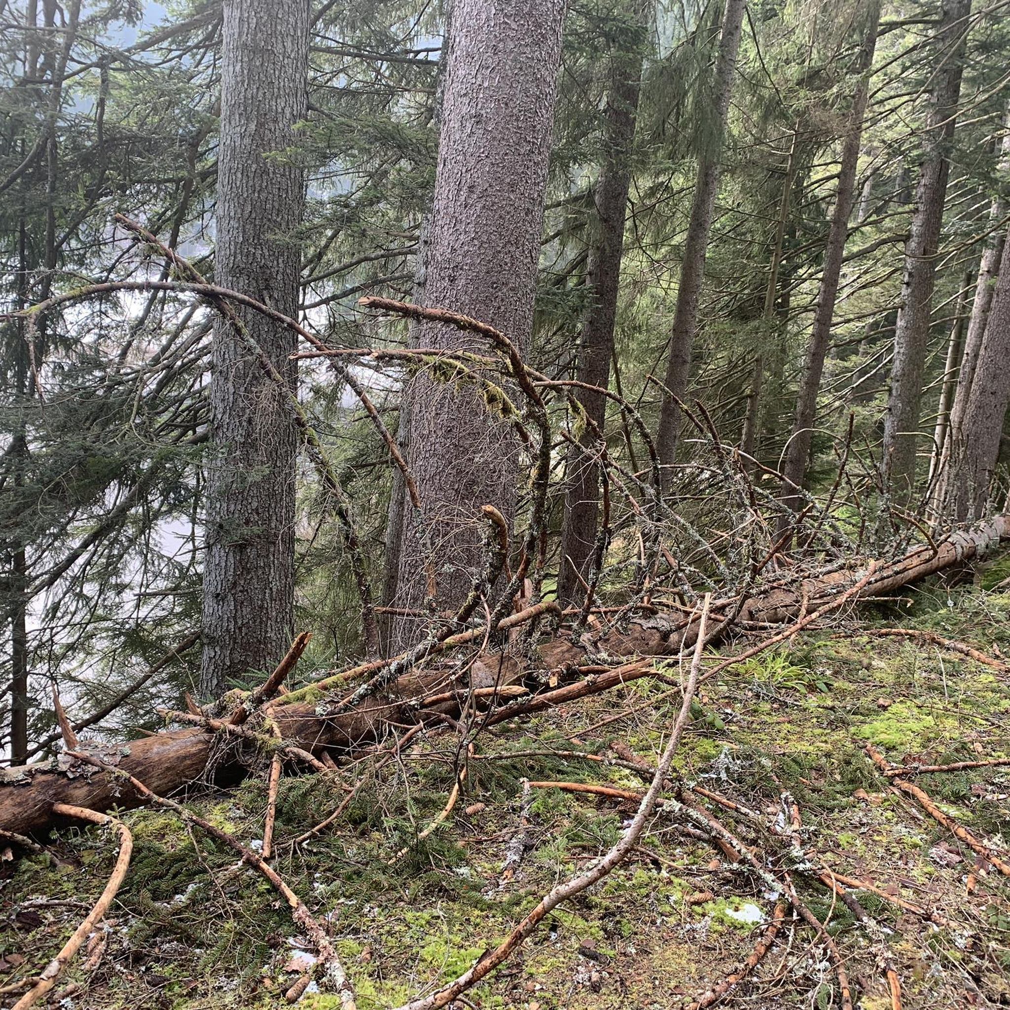
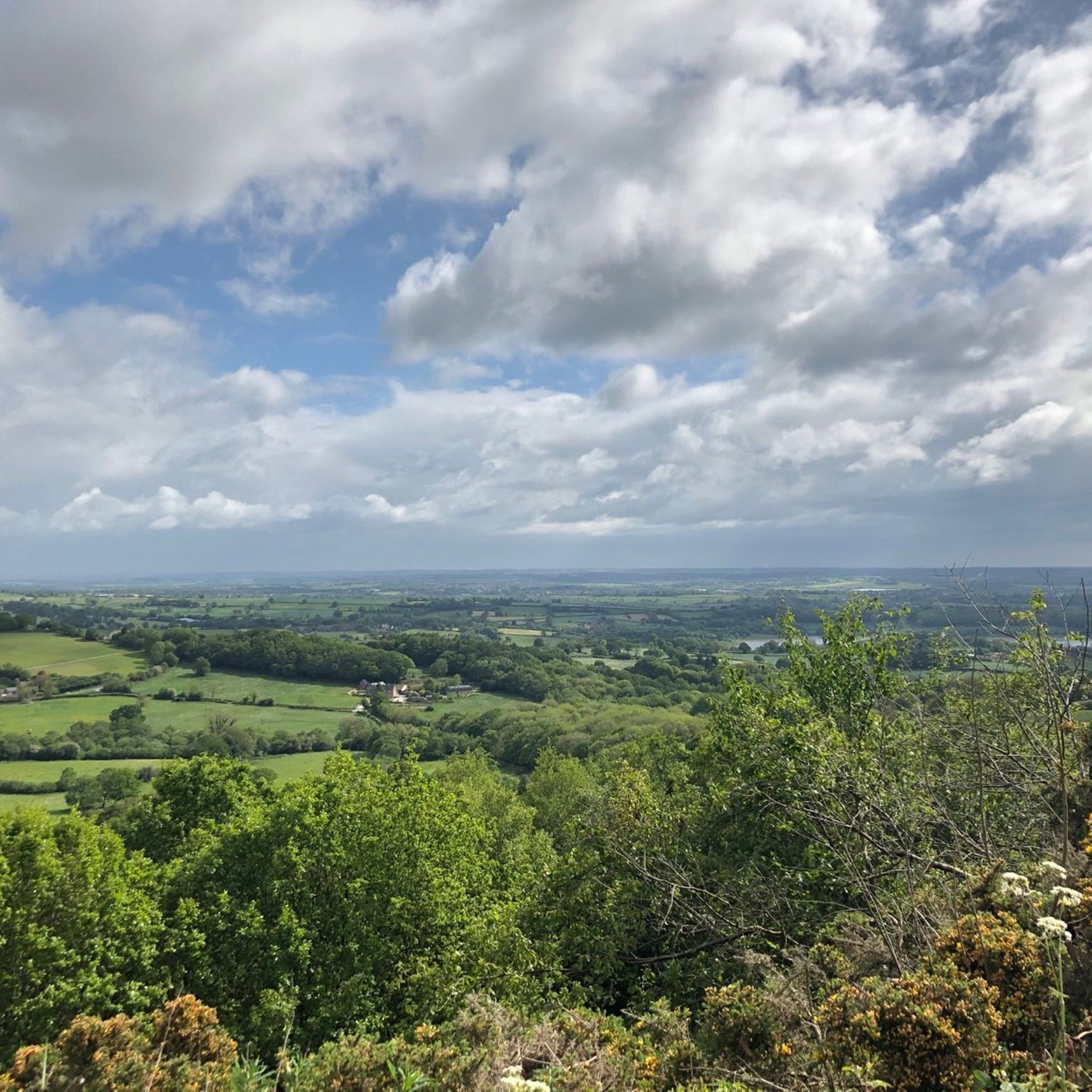
There are three beautiful reservoirs at Linacre, aptly named Lower, Middle, and Upper, going from east to west. The reservoirs are surrounded by fields and woodland with a network of trails and footpaths. The woods are beautiful and include oak, beech, alder, larch, and pine, and in the springtime they are carpeted with bluebells. It is a scenic area, and there is a public car park on the northern edge of the woods of the Lower Reservoir.
1
0

A ford originally crossed the river at this point, and the side became a major crossing point. A settlement developed around the bridge, known as Matlock Bridge, which later became part of modern Matlock. The downstream side of the bridge dates from the 15th century.
0
0
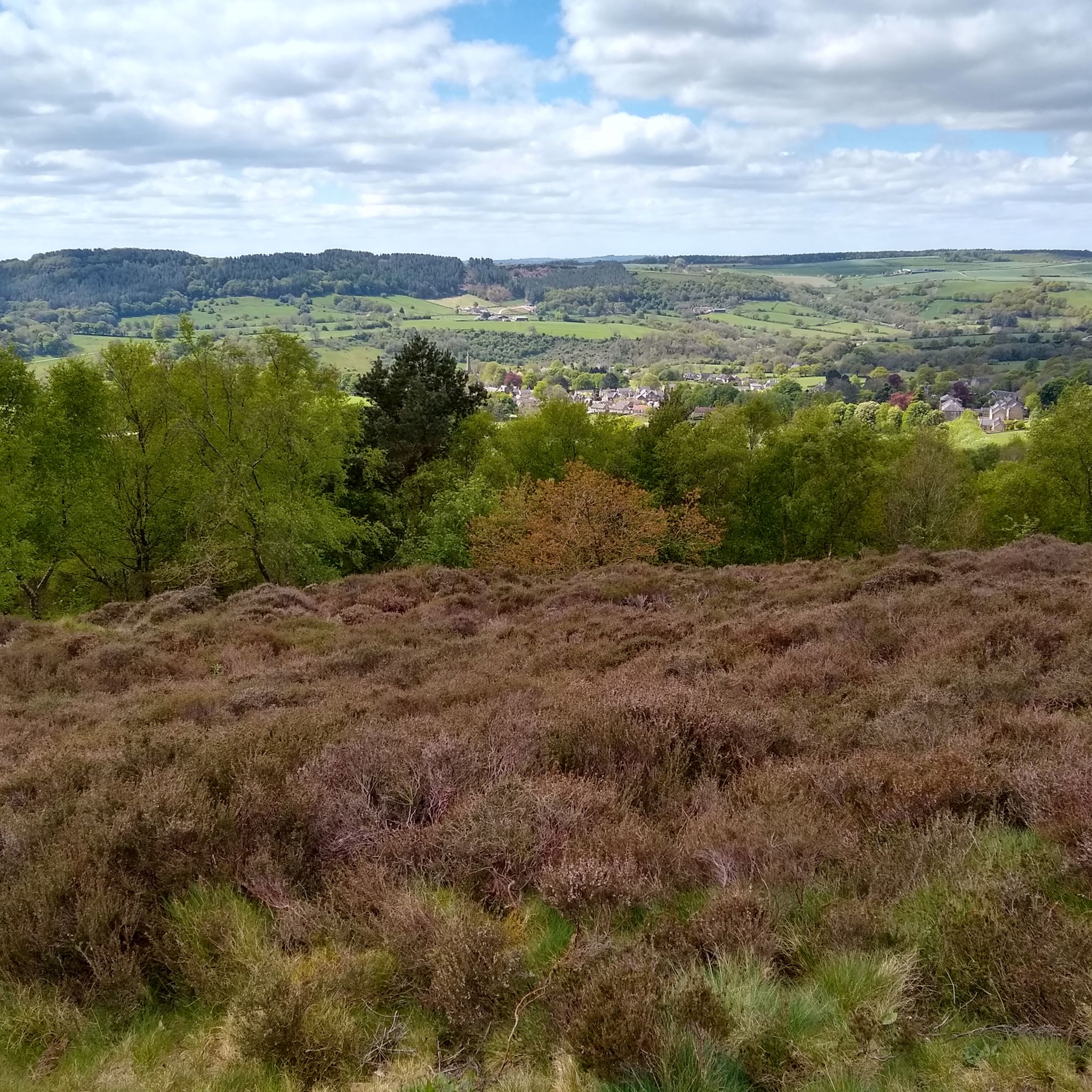
19th century pleasure ground which exploited the dramatic qualities of the Derwent valley. Peter Arkwright of Willersley Castle enclosed the grounds c 1860 and constructed pedestrian paths from a new entrance on the south side approached from the bridge to Matlock Bath railway station. The entrance from Starkholmes Road was retained and could be used by carriages. A pathway was formed through Fern Cave (scheduled ancient monument) and another on a narrow ledge along part of the cliff face. In 1879 the grounds were leased to the Matlock and High Tor Recreation Grounds Company Ltd and Milner of London was retained to supervise landscaping. Arkwright's Grand Walk, also used by carriages, was created, leading south to the summit from a gateway in Pig Tree Lane, now Pic Tor Lane. A refreshment room was erected near the summit, tennis and quoit or skittle grounds were constructed close to a modified southern entrance and additional paths put in with a broad flight of steps.
0
0
클레이 크로스 주변에서 가장 인기 있는 명소


더 살펴보기
찾고 있는 하이라이트를 아직 못 찾으셨나요? 다른 지역의 주요 명소 가이드를 확인해보세요:
