슬레드미어 최고의 라이딩 경로
4.5
(27)
1,526
자전거 타는 사람
138
라이딩
슬레드미어에서 로드 사이클링을 하실 계획인가요? 슬레드미어의 모든 로드 라이딩 중에서 가장 멋진 라이딩 장소를 엄선했으니 슬레드미어에서 가장 마음에 드는 로드 사이클링 경로를 찾아보세요.
마지막 업데이트: 9월 14, 2026
5.0
(2)
19
자전거 타는 사람
29.0km
01:14
240m
240m
초급용 로드 라이딩. 모든 체력 수준에 적합. 지면 대부분이 잘 포장되어 있고 라이딩하기 쉬움.
12
자전거 타는 사람
59.2km
02:50
380m
380m
보통 도로 자전거 타기. 좋은 체력 필요. 투어 중 라이딩하기 어려운 비포장 구간이 있을 수 있음.

8
자전거 타는 사람
60.8km
02:51
390m
400m
보통 도로 자전거 타기. 좋은 체력 필요. 지면 대부분이 잘 포장되어 있고 라이딩하기 쉬움.
7
자전거 타는 사람
74.4km
03:31
870m
870m
보통 도로 자전거 타기. 좋은 체력 필요. 지면 대부분이 잘 포장되어 있고 라이딩하기 쉬움.
8
자전거 타는 사람
31.2km
01:30
230m
240m
초급용 로드 라이딩. 모든 체력 수준에 적합. 지면 대부분이 잘 포장되어 있고 라이딩하기 쉬움.
더 다양한 경로와 다른 탐험가들의 추천을 살펴보세요.
이미 komoot 계정이 있나요?
투어 추천은 다른 사람들이 komoot에서 완료한 수천 개의 활동을 바탕으로 구성되어 있습니다.
오늘 무료 계정으로 시작하세요
다음 모험이 기다리고 있어요.
슬레드미어 주변 인기 장소
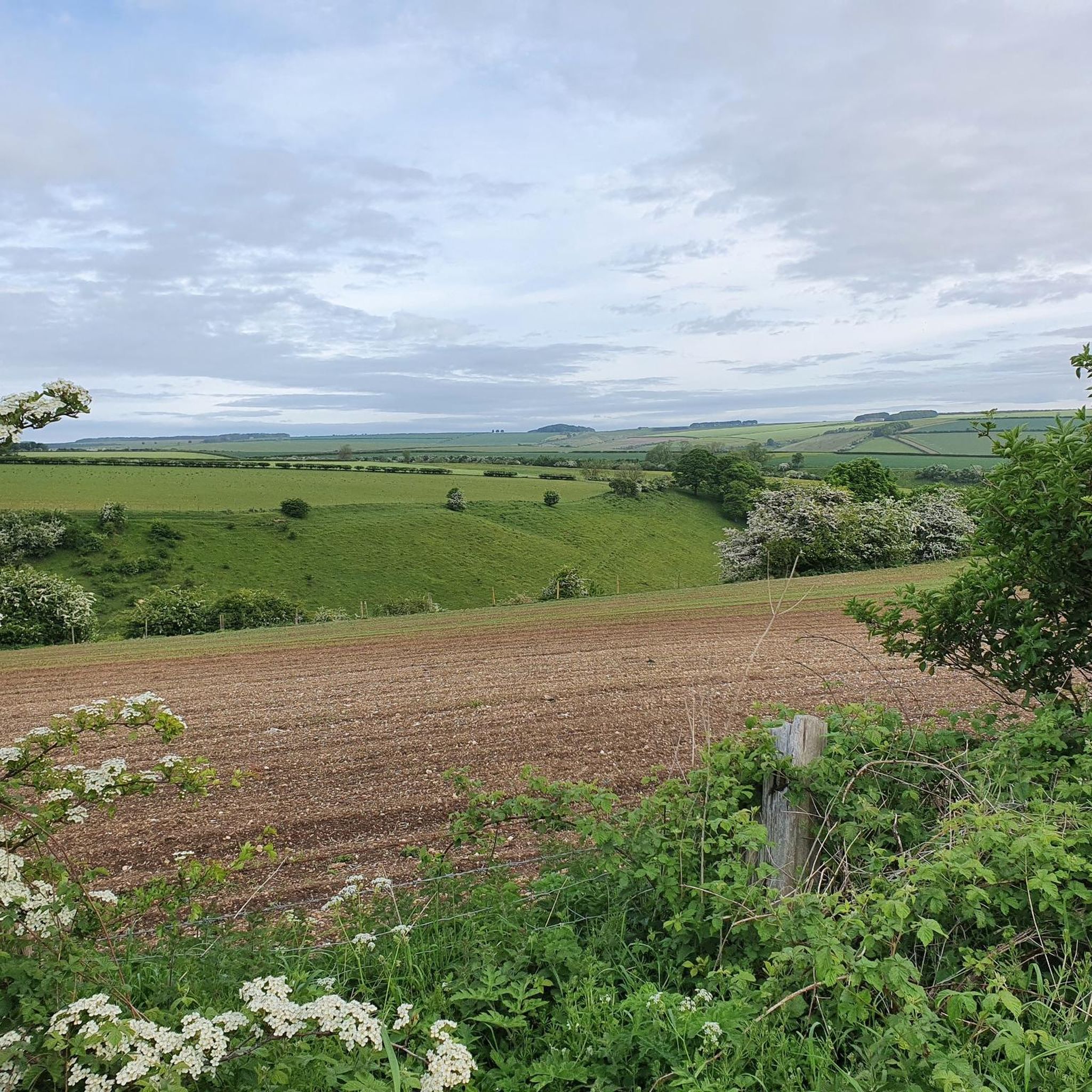
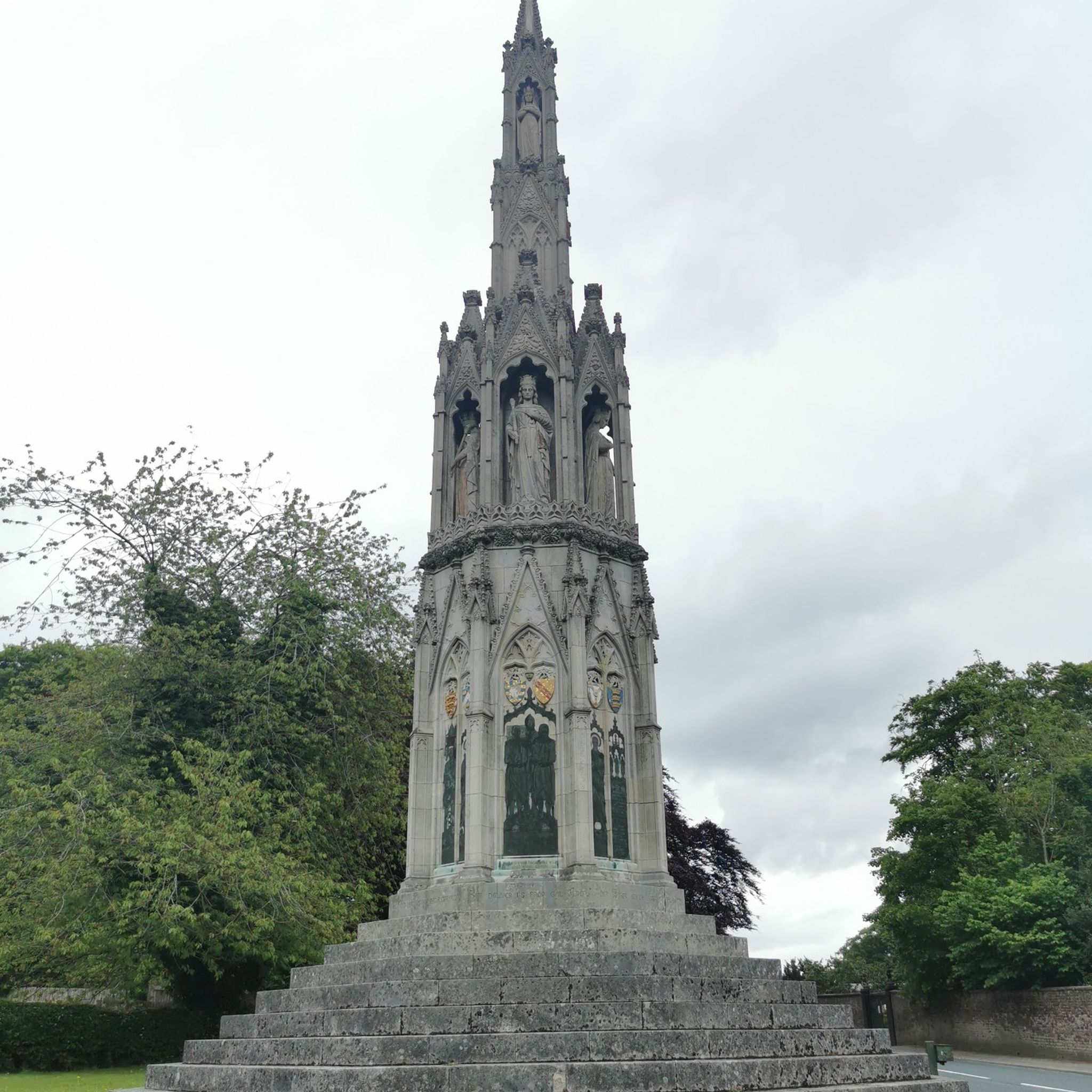
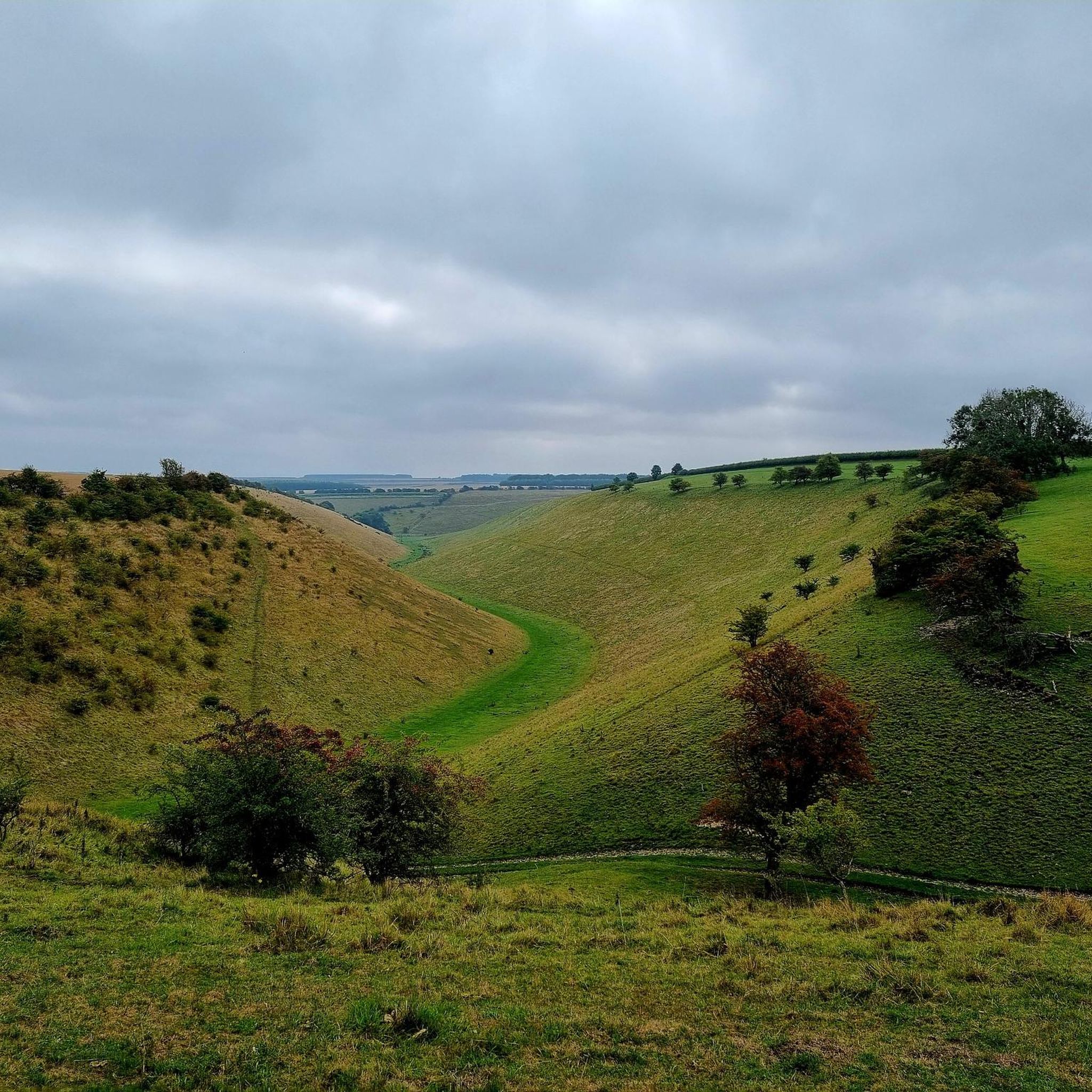
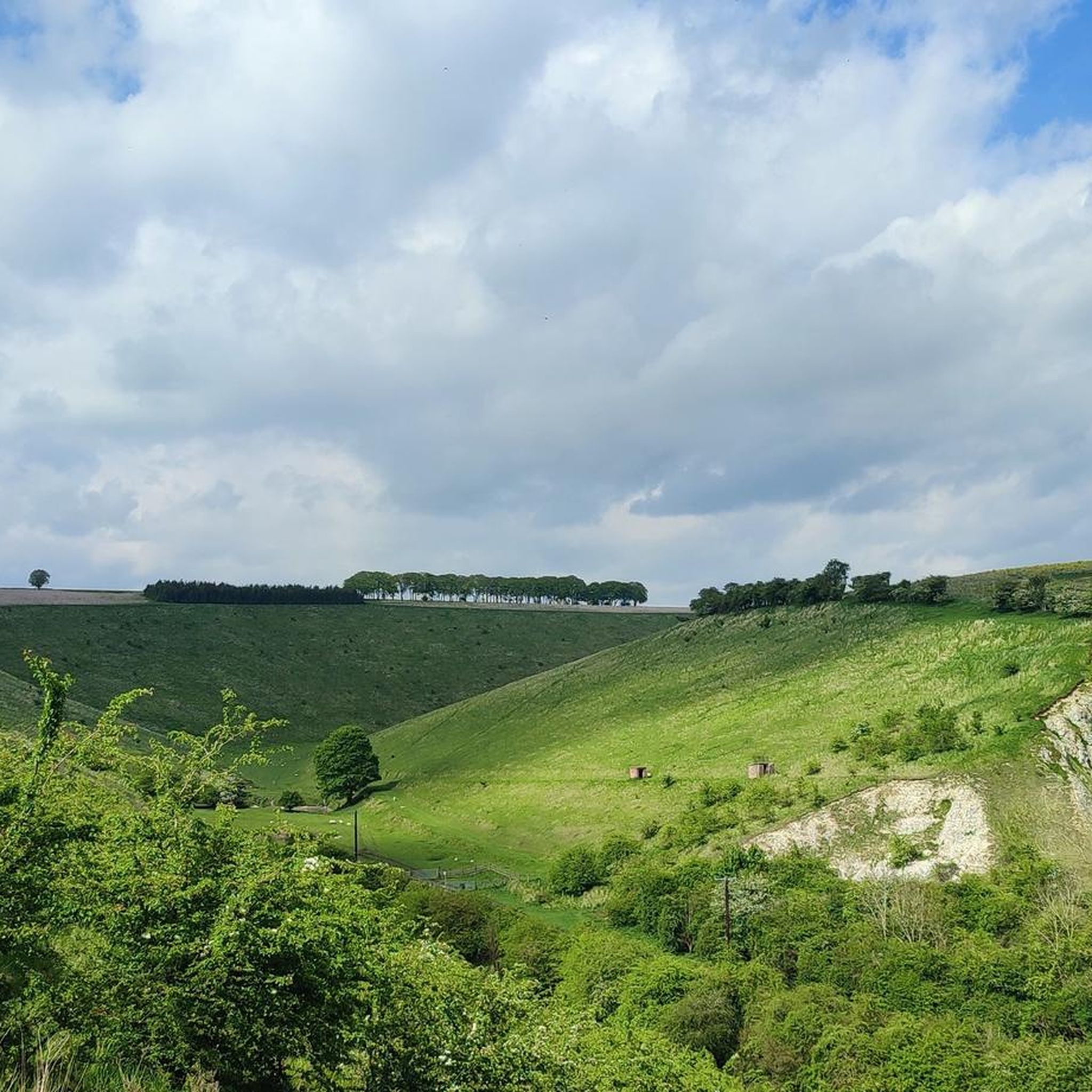
커뮤니티 팁

이곳은 빠르게 진행됩니다(오르막은 약간 더 힘들고) 해변까지 빠르게 내려갈 수 있습니다. 하지만 마지막 몇 미터는 매우 가파르며 보행자가 있다면 카페에서부터 이어지는 길이 매우 좁기 때문에 자전거를 밀어야 합니다.
0
0

양이 많고 메뉴가 훌륭하며, 너무 많이 주문하지 말라고 조언해 준 친절한 주인
0
0
The gate of an old church. Unfortunately, I couldn't figure out what used to stand there, whether it was a monastery or something else. But I found this portal very impressive.
0
0

Cracking views on a clear day. Can see the Humber Bridge from here.
0
0

Kinship coffee shop. They do hot and cold drinks, cake and lunch options. Vegan and vegetarian friendly. Lovely little local cafe with warm and friendly owner and locals.
1
0
The Rudston monolith is the tallest prehistoric standing stone in Britain, measuring almost 8 metres high, nearly 2 metres wide, a metre thick and estimated to weigh somewhere in the region of a massive 26 tons. This giant block of grey sandstone or gritstone was errected here either in the late Neolithic or early Bronze Age and is thought to have been quarried more than 10 miles away in the Cayton Bay area south of Scarborough, although the glacial transportation of a large block of stone that was then shaped and utilised by the prehistoric residents of the area cannot be ruled out. The top of the stone has been weathered and eroded into a fluted peak similar to the stones of the Devil's Arrows and a lead cap was first added to try to preserve it in the 18th century. The churchyard of All Saints that it stands in is of course much younger and although the christianisation of the site took place around 1100AD the stone had already stood here for at least 3000 years. The monolith stands close to the Gypsey Race, an occasional stream that flows along the floor of the Great Wold Valley from close to the barrow of Duggleby Howe in the east, past another pair of barrows at Wold Newton and Willie Howe before turning south past the Argham Henge and Cursus down to Rudston itself where it bends sharply and heads eastwards to the sea at Bridlington. The whole of the Gypsey Race landscape was obviously important in prehistoric times and holds a rich selection of sites, most of which have been destroyed or badly damaged by ploughing, including many round barrows, several long barrows, four cursuses and at least one henge. It continued to retain its importance into the historic period - a major Roman villa was discovered to the southwest of Rudston village. In the corner of the churchyard is a much smaller stone presumably brought here from a local barrow and also the remains of a double cist that was removed from a nearby barrow on Rudston Beacon by the antiquarian Canon Greenwell in the late 19th century.
0
0
슬레드미어 주변에서 가장 인기 있는 명소


더 살펴보기
다른 지역의 최고의 로드 사이클링 경로를 살펴보세요.
