발터스하우젠 최고의 워킹 & 하이킹 경로
4.6
(4218)
13,271
등산객
196
하이킹
Komoot에 등록된 발터스하우젠 내 트레일 및 경로 컬렉션 중에서 하이킹과 워킹을 가장 멋지게 즐길 수 있는 곳을 알려드릴게요. 아래에서 각 경로의 상세 정보를 모두 확인한 후, 발터스하우젠 속 자연에서 즐거운 시간을 누려보세요.
마지막 업데이트: 10월 1, 2026
4.8
(44)
147
등산객
11.2km
03:19
310m
300m
보통 하이킹. 좋은 체력 필요. 대부분 갈 수 있는 길. 미끄러지지 않게 조심해야 함.
4.3
(20)
70
등산객
5.56km
01:30
70m
70m
초급용 하이킹. 모든 체력 수준에 적합. 실력과 관계없이 누구나 쉽게 갈 수 있는 길.

4.5
(19)
69
등산객
5.34km
01:26
70m
70m
초급용 하이킹. 모든 체력 수준에 적합. 실력과 관계없이 누구나 쉽게 갈 수 있는 길.
4.9
(11)
51
등산객
29.1km
08:52
920m
920m
어려운 하이킹. 우수한 체력 필요. 대부분 갈 수 있는 길. 미끄러지지 않게 조심해야 함.
4.6
(22)
61
등산객
6.45km
01:40
40m
40m
초급용 하이킹. 모든 체력 수준에 적합. 실력과 관계없이 누구나 쉽게 갈 수 있는 길.
더 다양한 경로와 다른 탐험가들의 추천을 살펴보세요.
이미 komoot 계정이 있나요?
투어 추천은 다른 사람들이 komoot에서 완료한 수천 개의 활동을 바탕으로 구성되어 있습니다.
오늘 무료 계정으로 시작하세요
다음 모험이 기다리고 있어요.


커뮤니티 팁

Waldgasthaus Ruhlaer Skihütte는 튀링겐 숲 능선에 있는 인기 있는 전통적인 관광 명소이자 레스토랑입니다. Ruhla(Waltershausen OT Winterstein에 속함) 근처의 1027번 지방 도로 660.4미터 높이에 위치해 있습니다.
7
0

It's nice that this information panel serves as a reminder. Fischbach was and is a wonderful little town. Of course, there used to be much more going on, not least because of the open-air theater.
0
0
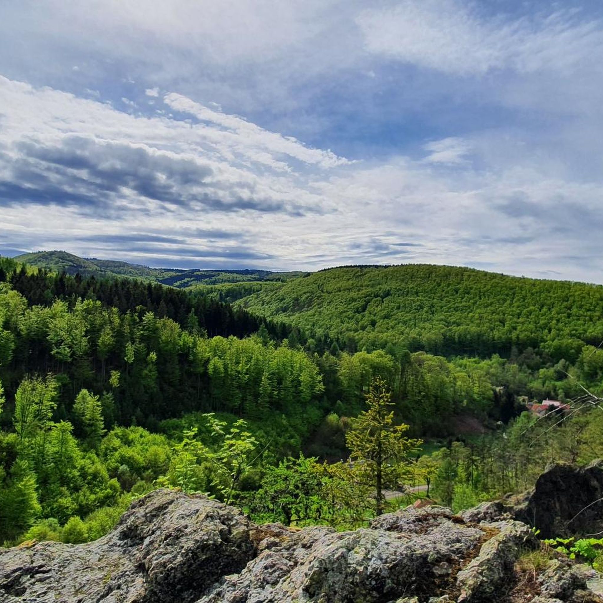
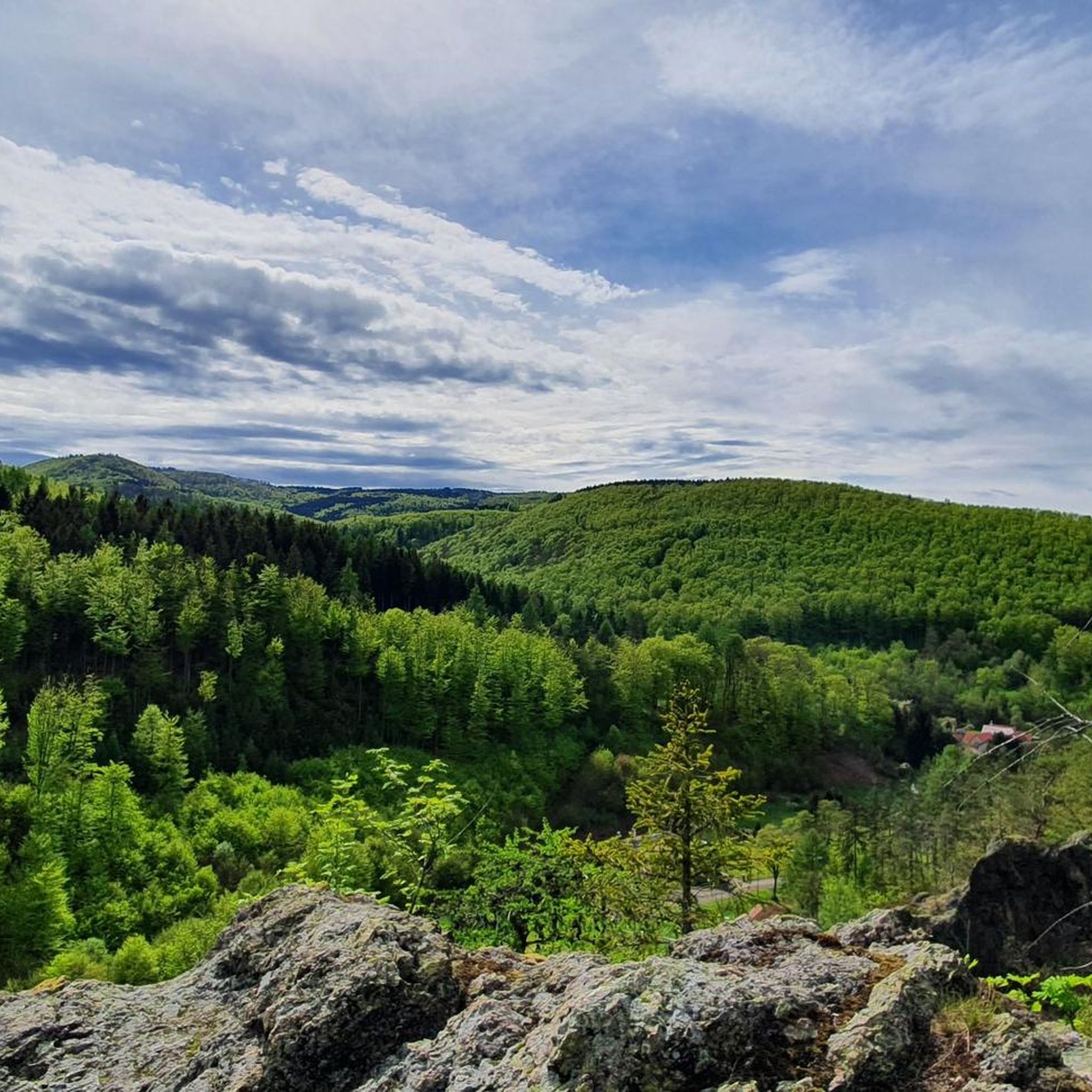
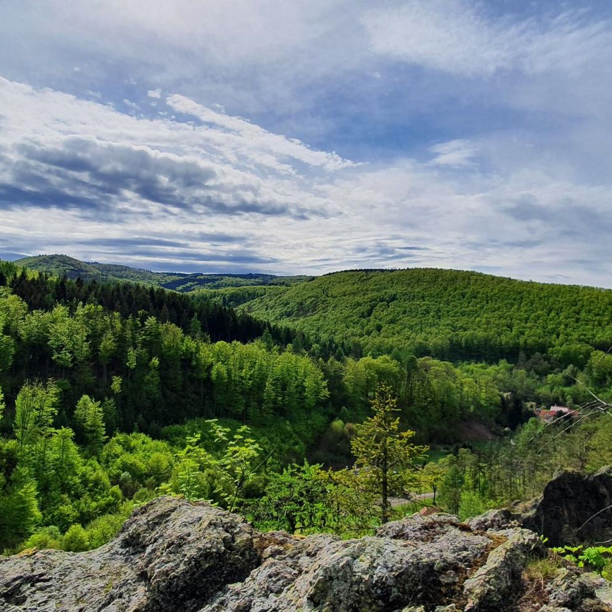
A bench invites you to take a break and enjoy the magnificent view of the Inselsberg mountain. 👀🤩
0
0
Here, where the Großer Inselsberg mountain rises majestically and prominently from the Thuringian Forest, lies the village of Winterstein, with its long tradition of tourism, nestled amidst the mountains on the northwestern side of the massif. Surrounded by dense coniferous and deciduous forests, this charming village of nearly 1,000 inhabitants stretches along the road leading to the Rennsteig hiking trail. Winterstein was first documented in 1246 and is closely associated with the von Wangenheim family. The ensemble of castle ruins, bailiff's residence, manor houses, moat, and the castle park with its buildings still bears witness to this history in the village center. Winterstein became world-famous as the origin of the saying: "This is where the dog is buried." The eponymous dog grave is located in the castle park below the castle ruins.
0
0
The Emse River The Emse is a roughly 14 km long, left-bank tributary of the Hörsel River. It originates from several headstreams along the Rennsteig trail in the Thuringian Forest between the Gerberstein and the Großer Inselsberg mountains. The westernmost of these headstreams is called the Kroatengrund, the central one the Schnabelwasser, and the easternmost the Bratpfannengraben and its shorter right tributary, the Ländersgraben, are considered the main headstreams. The combined stream flows northwest through Winterstein, then leaves the Thuringian Forest via a meadow valley and skirts the village of Schwarzhausen to the southeast. The Emse then flows for about 2 km through a partly narrow, wooded valley, past the settlement of Sondra, and finally empties into the Hörsel at Sättelstädt. The Emse is considered the main headstreams. The difference in elevation between the source (703 m above sea level) and the mouth (260 m above sea level) is therefore 443 m. After the Emse flows into the Hörsel (55.2 km), it empties into the Werra (299.6 km long) approximately 10 km further west, just past Eisenach in the town of Hörschel. The Werra then joins the Fulda (220.7 km) at the Weserstein in Hann. Münden to form the Weser. The Weser flows for 492 km before emptying into the North Sea at the old lighthouse near Bremerhaven. (…from information panel)
0
0

A beautifully situated pond just outside Schnepfenthal. A great spot for sunrise photos. A walk around it (it doesn't take long) offers beautiful views toward Gotha and the Thuringian Forest.
0
0

발터스하우젠 주변에서 가장 인기 있는 명소


더 살펴보기
다른 지역의 최고의 하이킹를 살펴보세요.
