이스트 도싯 최고의 워킹 & 하이킹 경로
4.5
(646)
8,050
등산객
387
하이킹
이스트 도싯에서 하이킹하며 도싯 구석 부분까지 살펴볼까요? 이스트 도싯에 있는 모든 하이킹 및 워킹 경로 컬렉션 중 가장 멋진 하이킹 경로를 엄선하여 소개해드릴게요. 다른 하이커가 공유한 실제 팁과 사진을 살펴보고 후기를 읽으며 마음에 드는 이스트 도싯 워킹 경로를 찾아보세요.
마지막 업데이트: 8월 30, 2026
4.8
(12)
92
등산객
8.89km
02:20
70m
70m
보통 하이킹. 좋은 체력 필요. 실력과 관계없이 누구나 쉽게 갈 수 있는 길.
3.8
(4)
28
등산객
12.9km
03:22
90m
90m
Embark on the moderate Badbury Rings, White Mill & Shapwick loop, a 8.0-mile (12.9 km) hike through the picturesque Dorset countryside. This route, taking about 3 hours and 21 minutes…

무료 회원 가입
2.5
(2)
45
등산객
2.81km
00:43
10m
10m
Enjoy tranquil lake views and abundant wildflowers on the Longham Lakes loop, an easy hike covering 1.7 miles (2.8 km). You will experience minimal elevation gain, just 21 feet (7…
3.5
(2)
11
등산객
12.1km
03:10
90m
80m
보통 하이킹. 좋은 체력 필요. 실력과 관계없이 누구나 쉽게 갈 수 있는 길.
4.9
(7)
16
등산객
11.9km
03:05
80m
80m
보통 하이킹. 좋은 체력 필요. 실력과 관계없이 누구나 쉽게 갈 수 있는 길.
5.0
(2)
7
등산객
Hike a moderate 11.2-mile section of The Hardy Way through Cranborne Chase, featuring Badbury Rings and diverse landscapes.
3
등산객
19.1km
05:02
160m
160m
Hike the difficult 11.9-mile Holt Heath & Summerlug Hill loop, gaining 519 feet in 5 hours through diverse heathland and woodlands.
3
등산객
23.8km
06:24
300m
300m
어려운 하이킹. 우수한 체력 필요. 대부분 갈 수 있는 길. 미끄러지지 않게 조심해야 함.
4.4
(15)
122
등산객
5.19km
01:20
20m
20m
초급용 하이킹. 모든 체력 수준에 적합. 실력과 관계없이 누구나 쉽게 갈 수 있는 길.
4.7
(29)
126
등산객
초급용 하이킹. 모든 체력 수준에 적합. 실력과 관계없이 누구나 쉽게 갈 수 있는 길.
더 다양한 경로와 다른 탐험가들의 추천을 살펴보세요.
무료 회원 가입
이미 komoot 계정이 있나요?
투어 추천은 다른 사람들이 komoot에서 완료한 수천 개의 활동을 바탕으로 구성되어 있습니다.
오늘 무료 계정으로 시작하세요
다음 모험이 기다리고 있어요.
로그인 또는 가입하기
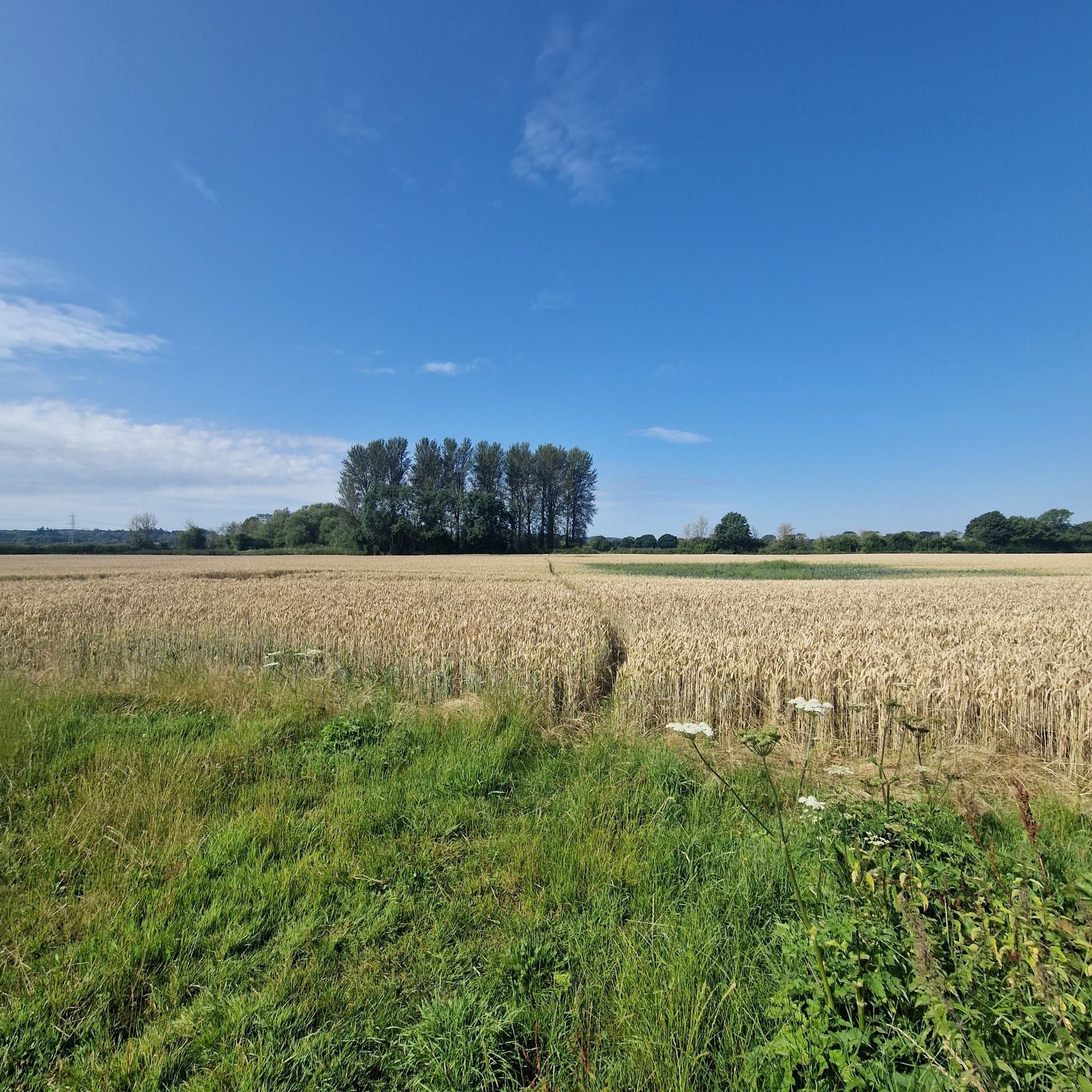
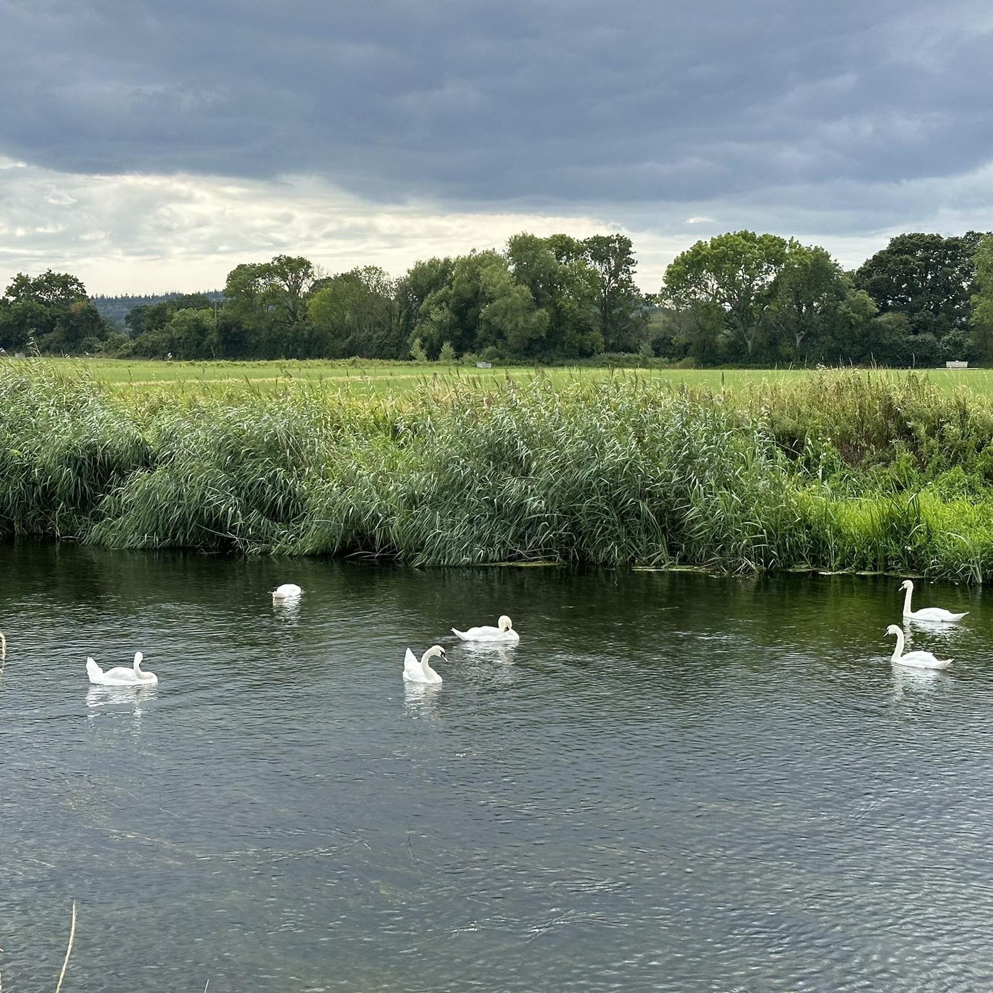
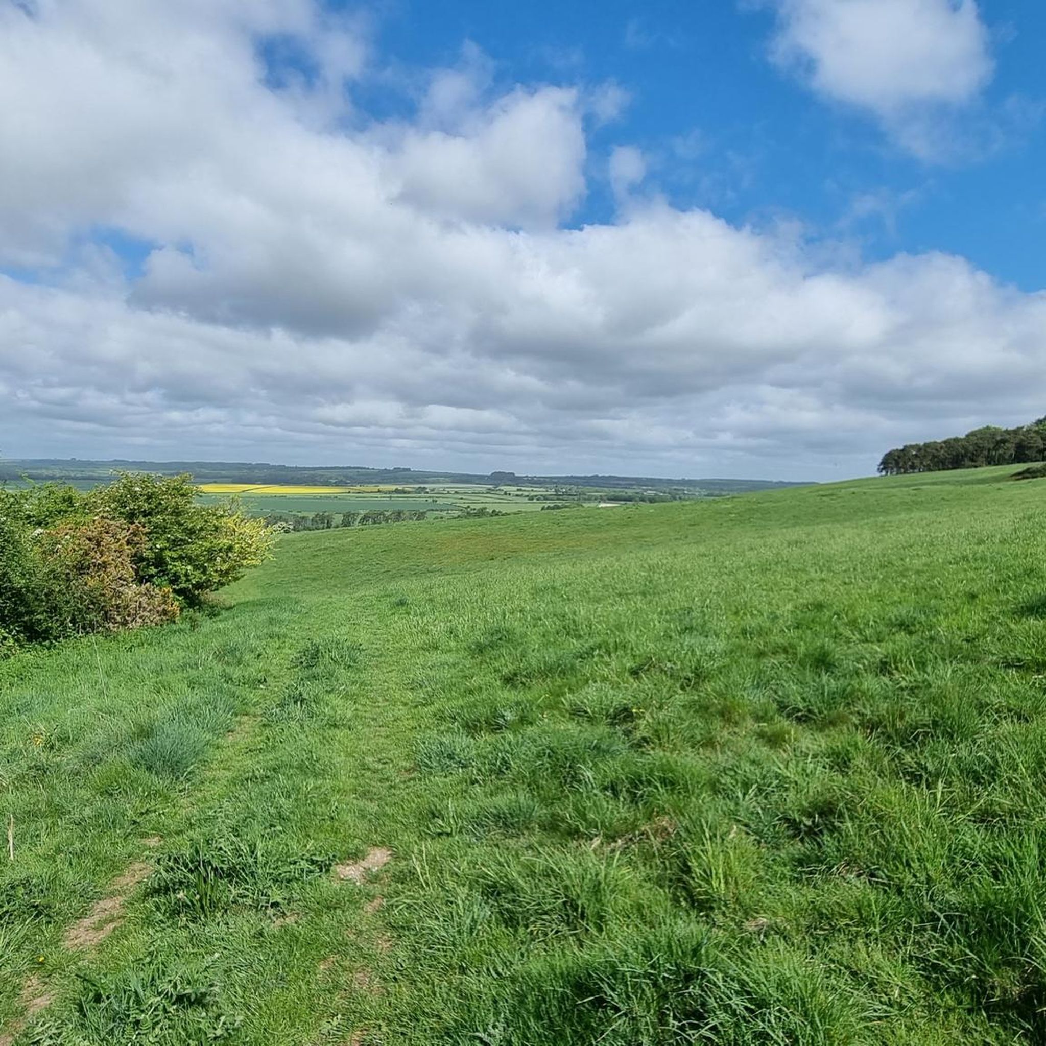
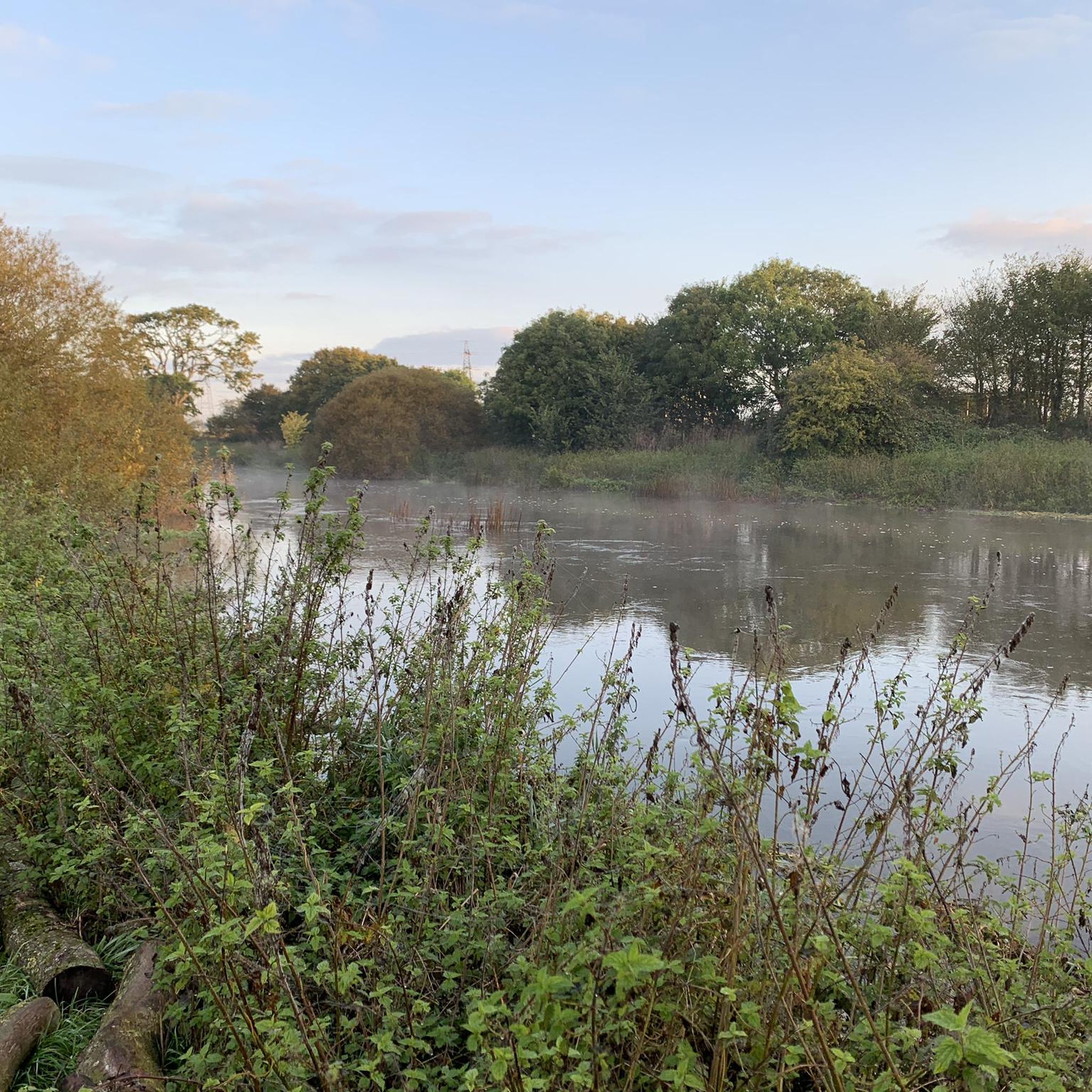
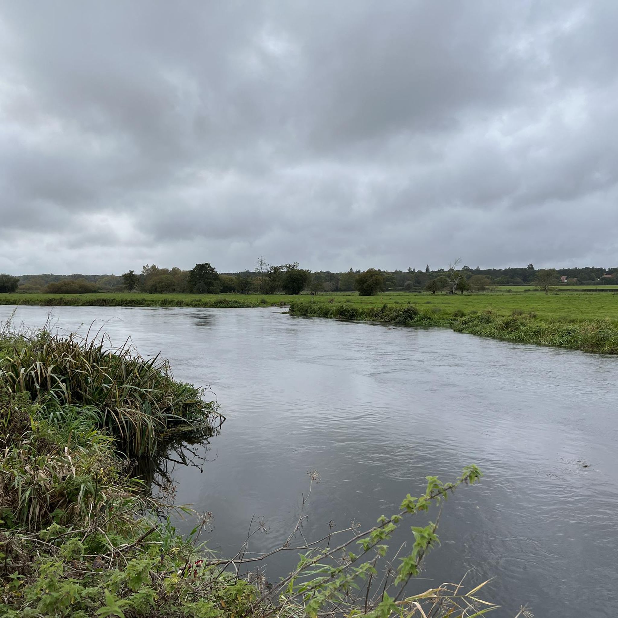
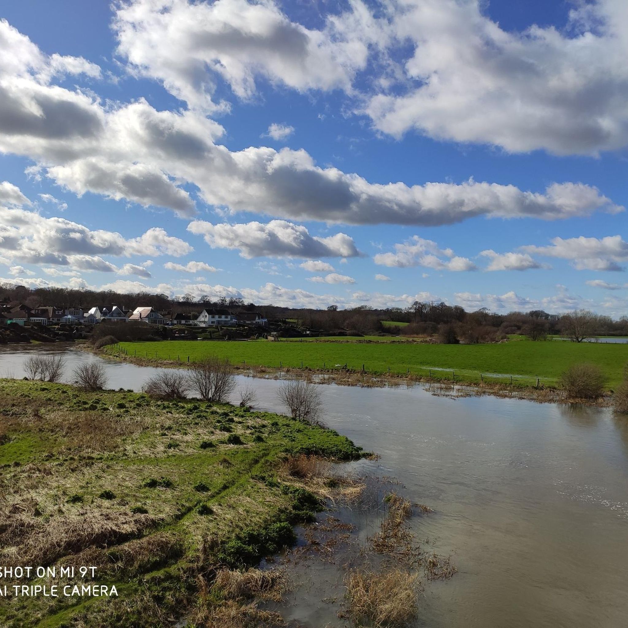
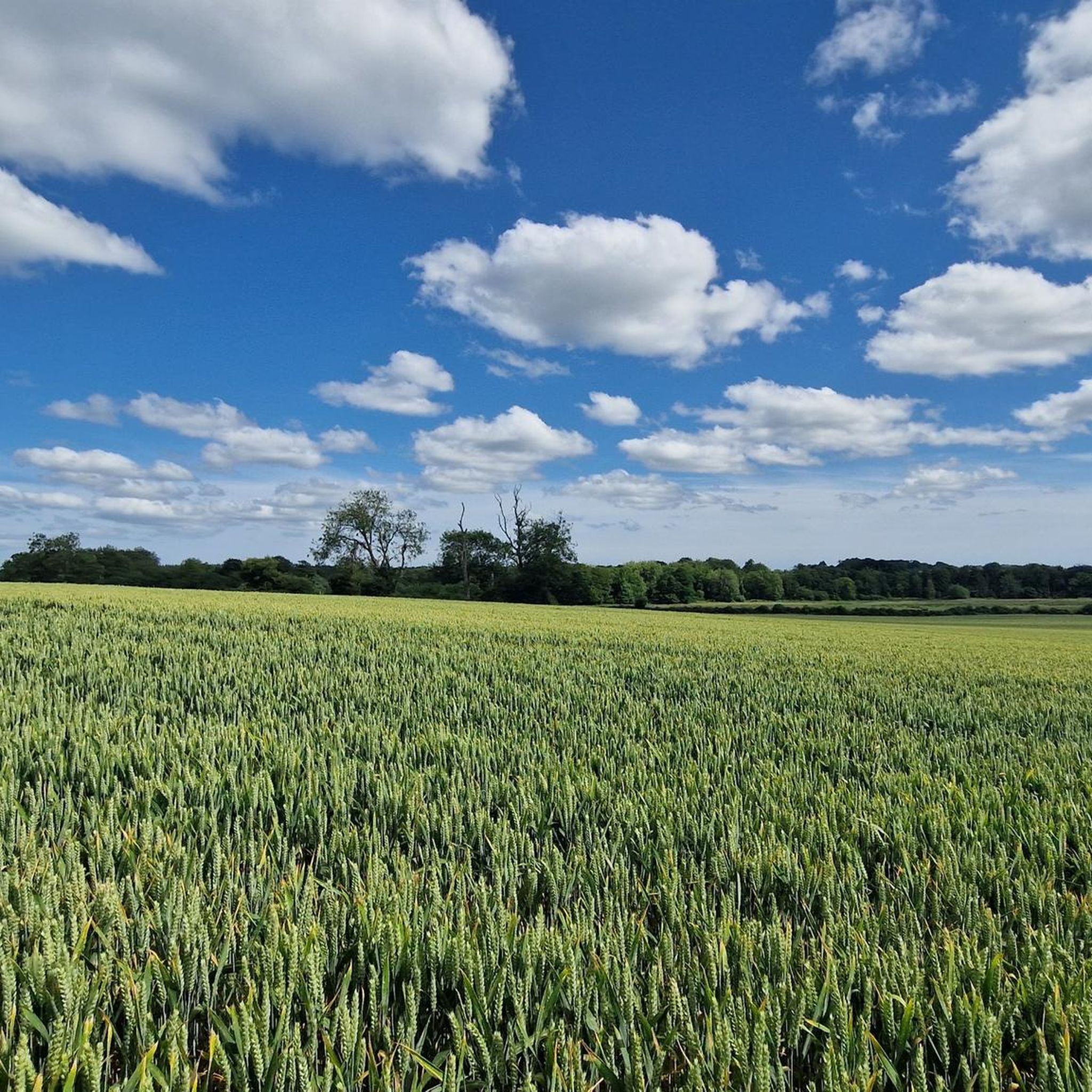
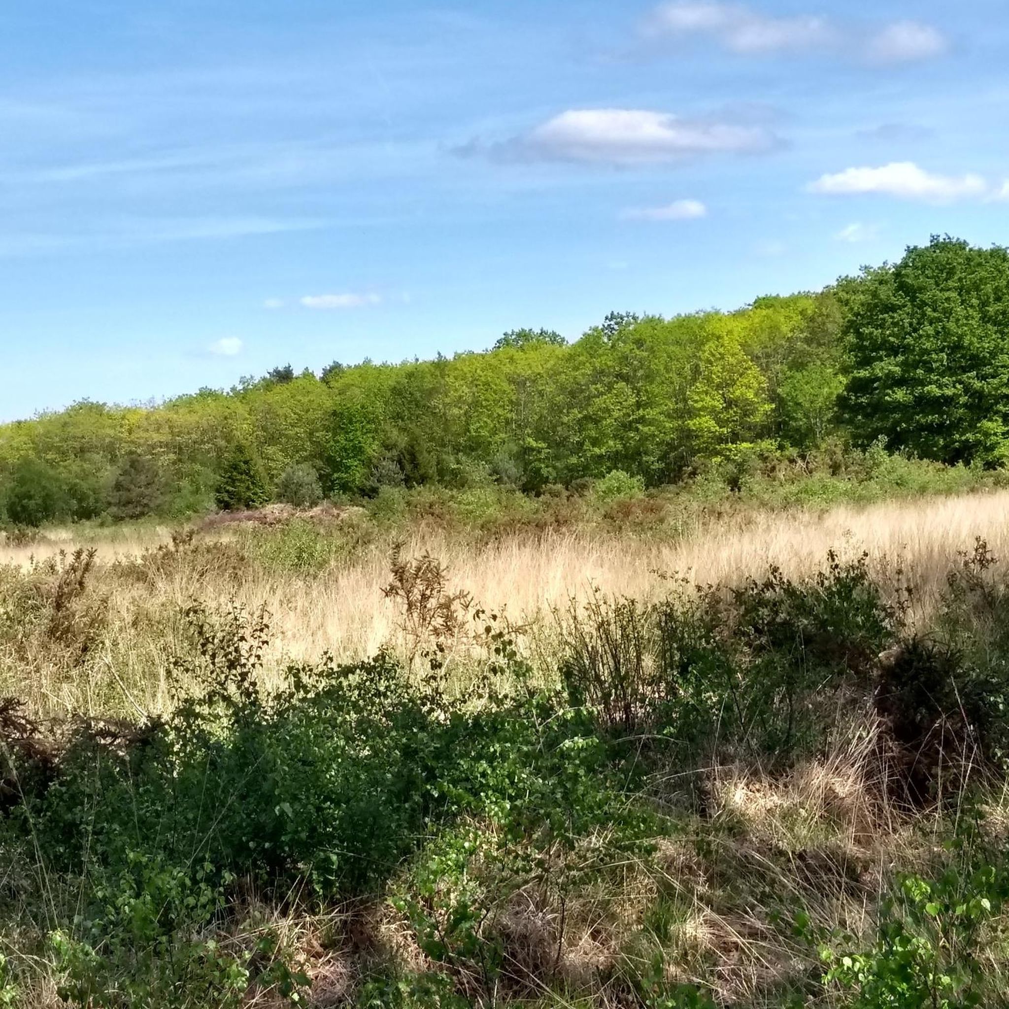


커뮤니티 팁

경로가 약간 번거롭습니다. 바이패스를 이용하려면 두 번 도로를 건너야 하기 때문입니다.
0
0


Lots of fun to cross. Either wheelie your bike across or sit on it and scoot over. Watch your tyres don't fall into the gaps!
1
0

Bokerley Dyke is a substantial linear earthwork, approximately 5.75 kilometers (3.6 miles) long, located on Cranborne Chase. It runs along part of the border between Dorset and Hampshire, specifically between Woodyates and Martin. It is part of a larger Scheduled Monument that also includes Grim's Ditch and other earthworks. The dyke has a multi-period history. It is believed to have originated in the Bronze Age or Early Iron Age as an important political and cultural boundary. In the 1st century, it was cut through by a Roman road, Ackling Dyke, which ran between Old Sarum and Badbury Rings. In the 4th century, the dyke was remodeled and brought back into use. During this period, the Roman road was blocked. A coin of Valens found during excavations dates this activity to shortly after 364 AD, with some sources suggesting it was built between 367-368 AD. This remodeling may have been a defensive measure against attacks on Britain by Picts, Scots, and Saxons. The Roman road was eventually reopened, but the dyke may have continued to be used as a boundary after the Roman administration ended. Today, it still forms part of the border between the counties of Dorset and Hampshire.
0
0

Brilliant dog walk alongside the stream perfect for a cool dip in the summer
0
0
Stunning avenue of trees perfect for a photo or two x
0
0
이스트 도싯에서 가장 인기 있는 명소


찾고 계신 것을 찾지 못하셨나요?
이스트 도싯에서 더 많은 하이킹를 확인하고 목적지에서 완벽한 경로를 찾아보세요.
더 살펴보기
다른 지역의 최고의 하이킹를 살펴보세요.
