리치먼드셔 최고의 라이딩 경로
4.6
(186)
8,476
자전거 타는 사람
429
라이딩
리치먼드셔에서 하이킹하며 노스요크셔 구석 부분까지 살펴볼까요? 리치먼드셔에 있는 모든 하이킹 및 워킹 경로 컬렉션 중 가장 멋진 하이킹 경로를 엄선하여 소개해드릴게요. 다른 하이커가 공유한 실제 팁과 사진을 살펴보고 후기를 읽으며 마음에 드는 리치먼드셔 워킹 경로를 찾아보세요.
마지막 업데이트: 8월 30, 2026
4.6
(8)
247
자전거 타는 사람
57.8km
03:17
1,150m
1,150m
Embark on a challenging road cycling adventure with the Wensleydale & Swaledale loop from Bainbridge. This difficult route covers 35.9 miles (57.8 km) and features a significant elevation gain of…
4.3
(3)
123
자전거 타는 사람
84.8km
04:14
1,170m
1,170m
Embark on a difficult road cycling adventure with the Richmond loop to Buttertubs Pass, a challenging route through the Yorkshire Dales National Park. This 52.7 miles (84.8 km) loop features…

무료 회원 가입
2.0
(1)
44
자전거 타는 사람
55.0km
02:49
880m
870m
Cycle the Stang & Richmond loop from Reeth, a moderate 34.1-mile road route through the Yorkshire Dales with challenging climbs.
12
자전거 타는 사람
52.6km
02:40
700m
700m
This moderate 32.7-mile road cycling loop from Leyburn explores Lower Wendsleydale and Coverdale, featuring Jervaulx Abbey and Middleham Cas
4
자전거 타는 사람
85.3km
04:05
810m
810m
보통 도로 자전거 타기. 좋은 체력 필요. 지면 대부분이 잘 포장되어 있고 라이딩하기 쉬움.
5.0
(9)
305
자전거 타는 사람
71.0km
03:28
1,050m
1,050m
어려운 도로 자전거 타기. 우수한 체력 필요. 지면 대부분이 잘 포장되어 있고 라이딩하기 쉬움.
4.6
(9)
269
자전거 타는 사람
52.5km
02:50
950m
950m
어려운 도로 자전거 타기. 우수한 체력 필요. 지면 대부분이 잘 포장되어 있고 라이딩하기 쉬움.
178
자전거 타는 사람
97.9km
05:34
1,820m
1,830m
어려운 도로 자전거 타기. 우수한 체력 필요. 지면 대부분이 잘 포장되어 있고 라이딩하기 쉬움.
5.0
(3)
168
자전거 타는 사람
50.5km
02:41
830m
830m
보통 도로 자전거 타기. 좋은 체력 필요. 지면 대부분이 잘 포장되어 있고 라이딩하기 쉬움.
5.0
(1)
173
자전거 타는 사람
94.2km
04:58
1,730m
1,730m
어려운 도로 자전거 타기. 우수한 체력 필요. 지면 대부분이 잘 포장되어 있고 라이딩하기 쉬움.
더 다양한 경로와 다른 탐험가들의 추천을 살펴보세요.
무료 회원 가입
이미 komoot 계정이 있나요?
투어 추천은 다른 사람들이 komoot에서 완료한 수천 개의 활동을 바탕으로 구성되어 있습니다.
리치먼드셔 주변의 다른 모험


커뮤니티 팁


끔찍하네요. 길의 잘못된 방향으로 돌아가서 운전자들에게 용서를 구하세요 (그게 될지는 모르겠지만요). 내려갈 때 조심하세요. 도로에 자갈이 많습니다
0
0


One of the largest and most open village greens in the Yorkshire Dales, historically used for markets, fairs, and livestock trading — the social heart of Swaledale long before tourism arrived. The green’s broad, triangular shape reflects its medieval origins as a common grazing and gathering space. Plenty of parking around the village green, but having arrived at 7am in winter for a hike and finding them all full, I suspect other times of the year will be even more difficult to secure a space.
3
0
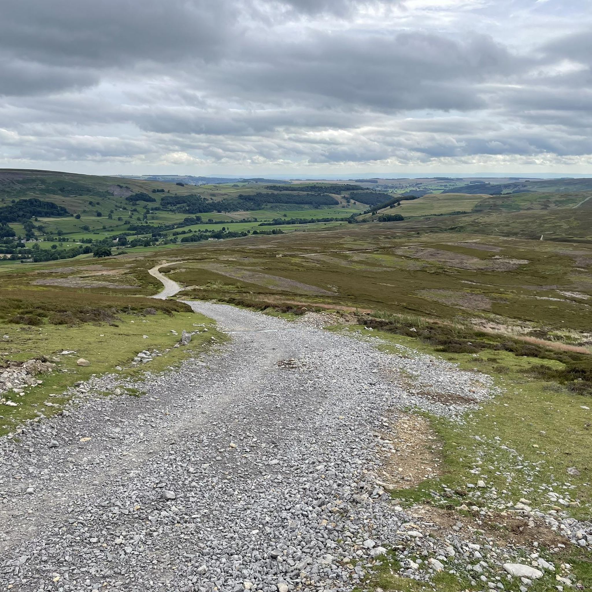
A classic stretch of high Pennine moorland, shaped by centuries of lead‑mining, with old hushes, spoil heaps, and trackways still etched into the heather. The moor forms part of the Reeth–Grinton–Harkerside upland block, giving wide, open views over Swaledale. Spectacular under a layer of snow in winter.
1
0

A wonderful village on the Coast to Coast Path. There are plenty of places to stay around the village green. The village youth play football on the lawn, including the very young ones. Very nice!
1
0

리치먼드셔 주변에서 가장 인기 있는 명소


찾고 계신 것을 찾지 못하셨나요?
리치먼드셔에서 더 많은 로드 사이클링 경로를 확인하고 목적지에서 완벽한 경로를 찾아보세요.
