헐샤우트 최고의 워킹 & 하이킹 경로
4.3
(359)
2,221
등산객
117
하이킹
정확한 경로를 찾는 것이 때로는 어렵지만 헐샤우트에서 하이킹을 하면 다양한 경치를 마음껏 감상할 수 있답니다. 헐샤우트에서 가장 멋진 하이킹과 워킹 중에서 마음에 드는 활동을 시작해보세요.
마지막 업데이트: 8월 27, 2026
4.3
(33)
138
등산객
11.8km
03:00
30m
30m
보통 하이킹. 좋은 체력 필요. 실력과 관계없이 누구나 쉽게 갈 수 있는 길.
4.6
(25)
76
등산객
13.3km
03:22
30m
30m
보통 하이킹. 좋은 체력 필요. 실력과 관계없이 누구나 쉽게 갈 수 있는 길.

무료 회원 가입
4.1
(7)
26
등산객
7.27km
01:50
10m
10m
초급용 하이킹. 모든 체력 수준에 적합. 실력과 관계없이 누구나 쉽게 갈 수 있는 길.
5.0
(2)
48
등산객
4.18km
01:03
10m
10m
초급용 하이킹. 모든 체력 수준에 적합. 실력과 관계없이 누구나 쉽게 갈 수 있는 길.
4.7
(6)
33
등산객
4.63km
01:10
10m
10m
초급용 하이킹. 모든 체력 수준에 적합. 실력과 관계없이 누구나 쉽게 갈 수 있는 길.
더 다양한 경로와 다른 탐험가들의 추천을 살펴보세요.
무료 회원 가입
이미 komoot 계정이 있나요?
투어 추천은 다른 사람들이 komoot에서 완료한 수천 개의 활동을 바탕으로 구성되어 있습니다.
오늘 무료 계정으로 시작하세요
다음 모험이 기다리고 있어요.
로그인 또는 가입하기
커뮤니티 팁

Through the forest, between the Great Nete and Hulshout...
2
0

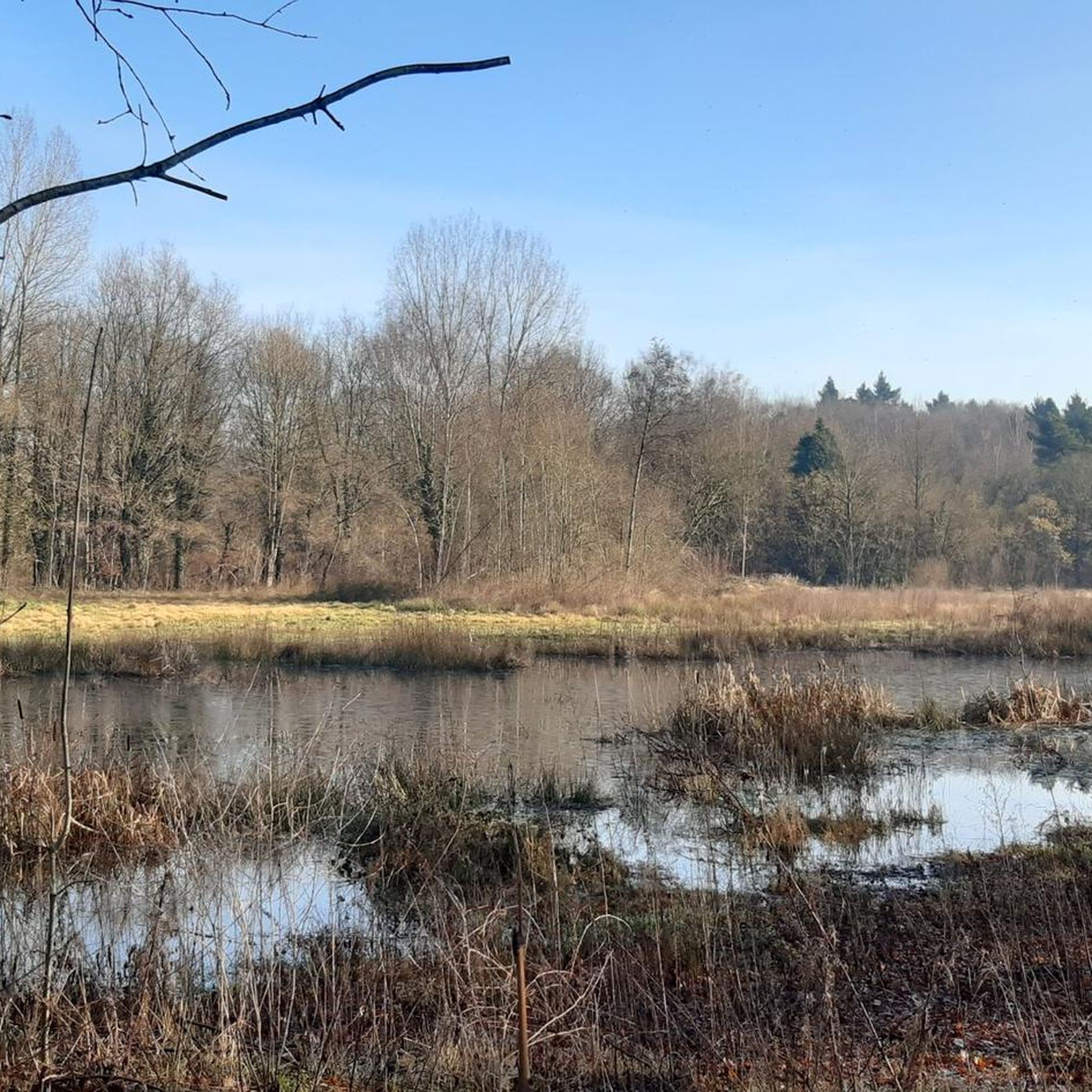
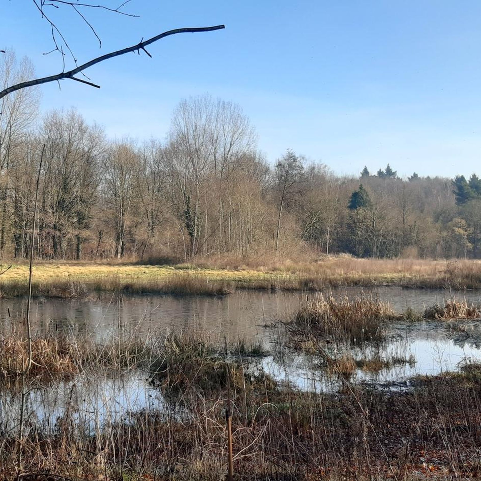
The Steenkensbeek is a former riverbed of the Grote Nete, and this section is truly beautiful. The Steenkensbeek valley was, incidentally, protected; see https://inventaris.onroerenderfgoed.be/signaalsobjecten/6118 The Goor-Asbroek nature reserve, recommended on most walks (both from Westmeerbeek and Herselt, and from VTC de Mixx), is located in the depression of the Steenkensbeek. See https://www.natuurpunt.be/natuurgebieden/het-goor-asbroek - for impressions, see https://www.komoot.com/nl-nl/tour/1142574994
6
0
A very pleasant path along a lovely winding stream that can sometimes take up a section of the path after heavy rain, resulting in wet feet. Perfect for those who enjoy mud and puddles in rainy weather.
5
0
The Grote Nete, roughly speaking, marks the transition to the Kempen region. This rain-fed river flows through a diverse landscape with vast marshlands, sandy grasslands, and mixed forests. The Grote Nete valley includes the Grote Laak, Kleine Laak, Rode Laak, Wimp, Herselt Loop, and Zaartloop. Source and more (with hiking tips) at https://www.landschapsparkdemerode.be/vallei-van-de-grote-nete
6
0
The Liniebrug bicycle and pedestrian bridge is part of the Liniefietsweg (Line Cycle Path), which is approximately 800 meters long and also includes a small bridge over the Steenkesbrug and new bicycle posts. Day trippers, such as hikers, also benefit: Hulshout is located in the Grote Nete valley, where the Sigma Plan is creating "wet nature." No fewer than 850 hectares of flower-rich grasslands and reed beds will be added, the favorite habitat of numerous unique plants and animals. This wet nature also serves a safety function. It acts like a sponge and retains water, so flooding should soon be a thing of the past. Source and more information on the Sigma Plan website: https://www.sigmaplan.be/nl/nieuws/liniebrug-over-grote-nete-feestelijk-ingefietst You can also find more information about the Sigma Plan in the region at the information board of the Paddle Route on Netestraat (the large bridge that forms the border between Westmeerbeek and Heultje), specifically on the back of that information board. See https://www.komoot.com/nl-nl/highlight/8241341 Both the bridge and the road take their names from a nearby large body of water, called "De Linie" (The Line), located west of the other pond, "De Poer."
5
0
The foundation stone of the new St. Michael's Church in Westmeerbeek was laid in 1939. There is a commemorative plaque on the right rear of the church. The restored western tower of the old church was integrated into the new church. The building is constructed of brick with a slate roof and a more modern interpretation of Gothic elements such as pointed arch windows and doors, buttresses, and connecting flying buttresses by the Dutch architect and urbanist Jos Ritzen, who moved from his birthplace of Heerlen to Antwerp in May 1924. He initially worked in the style of local modernism before developing a more regionally-oriented architecture. Ritzen designed several churches and houses but also (co-)designed buildings familiar to every walker, such as the new Achelse Kluis (Achel Hermitage) from the interwar period. However, it is the ruins of the old St. Michael's Church (whose tower, after restoration, was integrated into the new one) that are often mentioned and are barely visible from the road. A surprise for the casual walker. The listed ruins of the late Gothic church from the fifteenth century were saved from decay (it had been overgrown with ivy) after a decision by the Kempens Landschap Foundation and the municipality of Hulshout. aNNo architects, who were commissioned to do the work, write about the restoration approach at https://www.annoarchitecten.be/projecten/sint-michielskerk The square in front of the church is the starting point of a walk suggested by De Merode landscape park, and it goes without saying that the ruins are part of it. More links: Church ruins of St. Michael on the Kempens Landschap website: https://www.kempenslandschap.be/nl/over-kempens-landschap/domeinen/religieus-erfgoed/kerkruine-sint-michiel Inventory of Immovable Heritage: Parish Church of St. Michael and remains of the former church, https://id.erfgoed.net/erfgoedobjecten/41098 A walk starting from the church (suggestion: De Merode landscape park): https://www.bezoekdemerode.be/aanbod/van-t-goor-tot-hof-ter-borght Information board on the square, the first symbol for those wishing to follow the aforementioned pilgrimage route from Herselt, at the entrance to the (new) church.
6
0

Church dating from 1939, designed by J. Ritzen, incorporating the restored, formerly projecting west tower of the late Gothic church (second half of the 15th century), which has otherwise fallen into complete ruin. The old church, once surrounded by a cemetery (see preserved gravestones), lies east of and perpendicular to the new church; it was an oriented, pseudo-basilica cruciform church of brick and iron sandstone with a three-aisled nave, transept, and a three-sided, closed choir. Only the facades and the iron sandstone pillars with pointed arches are still partially standing. (Inventory of Immovable Heritage)
9
0
The Grote Nete is a tributary of the Nete River in the Scheldt basin. It is approximately 80 kilometers long. You can walk along and around it for hours.
9
0
헐샤우트 주변에서 가장 인기 있는 명소


더 살펴보기
다른 지역의 최고의 하이킹를 살펴보세요.
