지스텔 최고의 워킹 & 하이킹 경로
4.0
(121)
653
등산객
73
하이킹
정확한 경로를 찾는 것이 때로는 어렵지만 지스텔에서 하이킹을 하면 다양한 경치를 마음껏 감상할 수 있답니다. 지스텔에서 가장 멋진 하이킹과 워킹 중에서 마음에 드는 활동을 시작해보세요.
마지막 업데이트: 10월 18, 2026
4.4
(13)
71
등산객
12.5km
03:11
30m
30m
보통 하이킹. 좋은 체력 필요. 실력과 관계없이 누구나 쉽게 갈 수 있는 길.
4.4
(7)
38
등산객
6.78km
01:42
10m
10m
초급용 하이킹. 모든 체력 수준에 적합. 실력과 관계없이 누구나 쉽게 갈 수 있는 길.

4.2
(9)
43
등산객
보통 하이킹. 좋은 체력 필요. 실력과 관계없이 누구나 쉽게 갈 수 있는 길.
4.4
(8)
18
등산객
7.94km
02:01
20m
20m
보통 하이킹. 좋은 체력 필요. 실력과 관계없이 누구나 쉽게 갈 수 있는 길.
3.8
(13)
38
등산객
4.84km
01:13
10m
10m
초급용 하이킹. 모든 체력 수준에 적합. 실력과 관계없이 누구나 쉽게 갈 수 있는 길.
더 다양한 경로와 다른 탐험가들의 추천을 살펴보세요.
이미 komoot 계정이 있나요?
투어 추천은 다른 사람들이 komoot에서 완료한 수천 개의 활동을 바탕으로 구성되어 있습니다.
오늘 무료 계정으로 시작하세요
다음 모험이 기다리고 있어요.

커뮤니티 팁


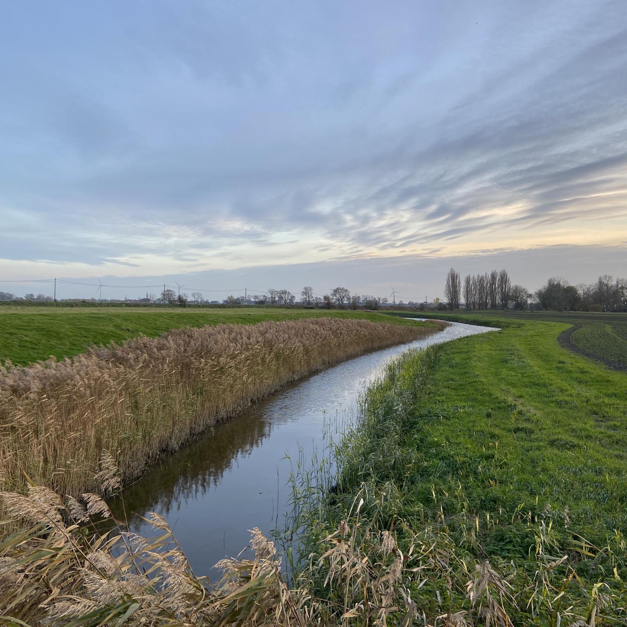
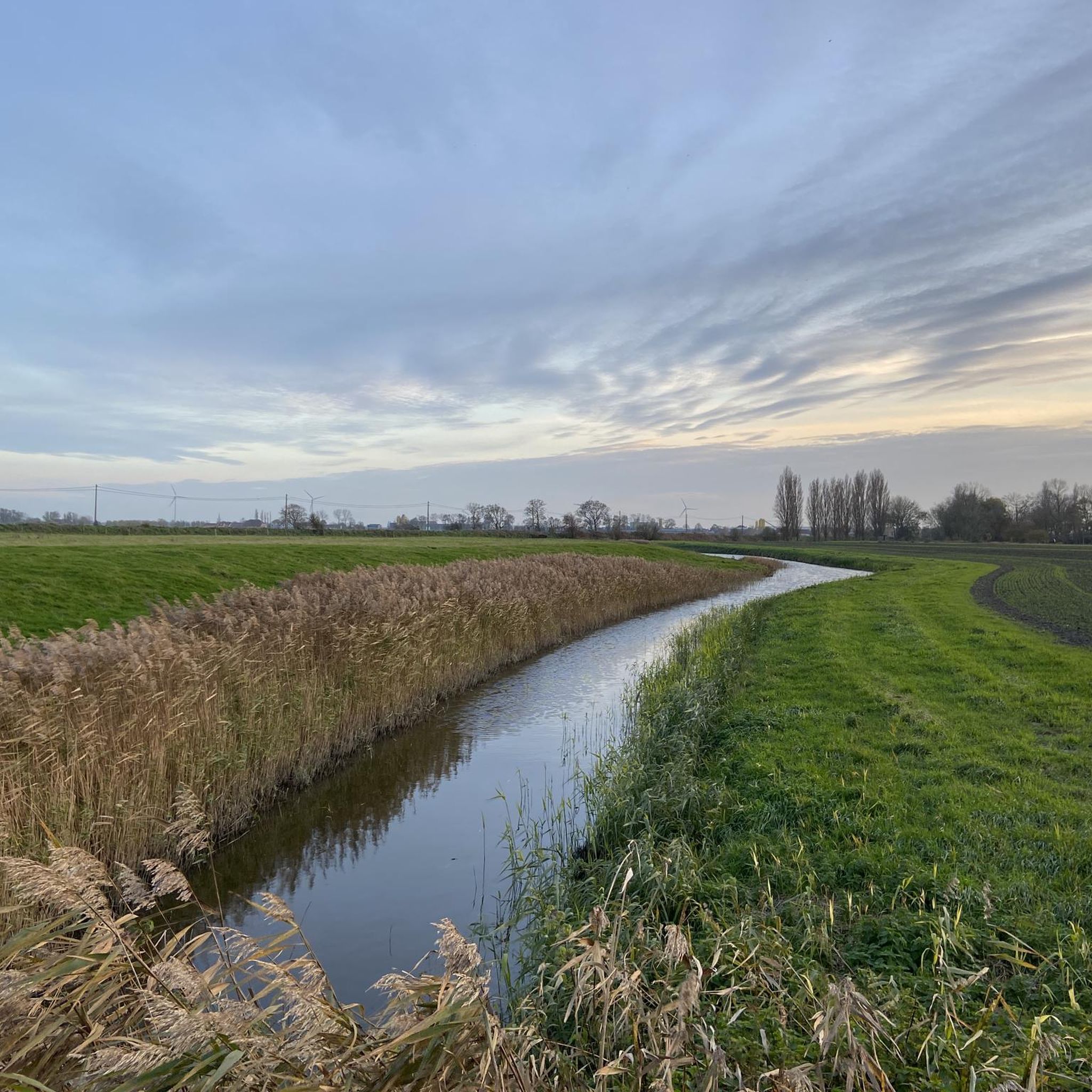
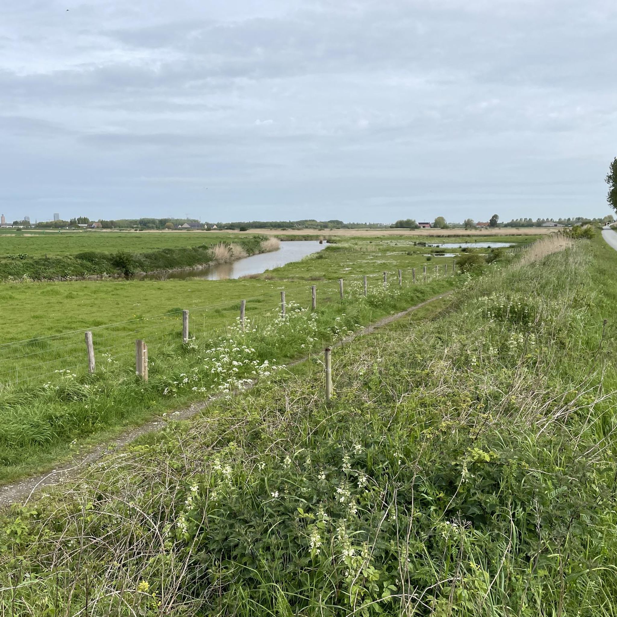
The Creek Area around Ostend is a unique wetland zone, with a network of creeks, marshes, reed beds and grasslands. These creeks were created by the natural silting up of rivers and other waterways. The area has a rich biodiversity, which makes it ideal for a nature walk.
0
1

The area of the Zoutekreek and the Sluiskreek is an important breeding ground for many birds: bluethroat, reed bunting, reed warbler, reed warbler, lapwing, black-tailed godwit, stonechat, etc. The surrounding polder complex contains 'jungles at knee height' with glass land that, in addition to a unique fauna and flora also has an ancient relief structure.
0
0

The Oostmolen site is located on the eastern edge of the city center of Gist. Due to its dual function as a grain and oil mill, the Oostmolen must be regarded as a unique example among the post mills. The blade cross is not only a driving source for the two pairs of grinding stones in the rotating mill housing, but also for the oil mill in the stamping shed. The mill was already mentioned in 1302. Initially it was a ban mill, as every tenth shovel of grain had to be given to the Lord of Gistel. The mill is depicted on the map of Jacob Van Deventer (ca. 1659-1573) and on the Sanderus engraving (1641). The current mill building dates from the 18th century and is on the Ferraris map (1770-1778). The Oostmolen was a typical Flemish post mill that was originally placed on brick slabs. In 1841 it was placed on a tower block by Karel Peel Keckaert to turn it into an oil mill or stomping ground. In 1933, the blades were covered by owner and molinologist Alfred Ronse, one of the first mills in West Flanders. In 1971 the Ronse family donated the mill to the city of Gistel. After a fire in 1979, the mill was completely rebuilt between 1979 and 1982 by Guido and Herman Peel under the supervision of engineer-architect Walter Snauwaert. The inauguration of the restored grain and oil mill took place on May 19, 1984. In June 1999, a wooden rod broke off. Between 2005 and 2007, the Dutch company Adriaens Molenbouw carried out a grinding restoration.
1
0

once the site of a castle where Snaaskerke arose
1
0

On the Polderdijk, opposite the farm "'t Meeuwenhof", there is a striking cast-iron pole on a base of brick and bluestone with the inscription “station geodesique 1853”. A geodetic signal or geodetic point is a fixed known point from which one starts when measuring distances for mapping a certain region. The iron pile along the Polderdijk is the geodetic signal of Zandvoorde, which is part of a mid-19th century geodetic net, more specifically a triangular net whose angles were measured and whose scale was determined by measuring three bases in Belgium, namely Ostend, Lommel and Hamipré.
7
0

The historic polders of Ostend were created in the sixteenth century, on the eve of the Siege of Ostend (1601–1604). The city was in the hands of the Beggars and was besieged by the Spaniards. The Beggars made a breach in the dunes (this is now the harbor channel) and the sea invaded the land. A large flood area arose, intersected with narrow creeks. Ostend had thus become an island and an almost impregnable fortress. The Beggars resisted the Spanish army for more than three years. The area of the Zoutekreek and the Sluiskreek is an important breeding ground for many birds: bluethroat, reed bunting, reed warbler, warbler, lapwing, black-tailed godwit, stonechat, etc. The surrounding polder complex contains 'jungle forests at knee height' with glass land that, in addition to a unique fauna and flora also has an ancient relief structure. Source: https://www.oostende.be/Krekengebied
1
1

지스텔 주변에서 가장 인기 있는 명소


더 살펴보기
다른 지역의 최고의 하이킹를 살펴보세요.
