4.5
(2140)
20,396
자전거 타는 사람
260
라이딩
겡크 최고의 사이클링 경로를 따라 지역을 둘러볼까요? 겡크에서 가장 멋진 자전거 라이딩 장소 중에서 가장 마음에 드는 라이딩을 선택해보세요.
마지막 업데이트: 7월 23, 2026
4.5
(210)
1,213
자전거 타는 사람
56.3km
03:12
160m
160m
보통 자전거 타기. 좋은 체력 필요. 대부분 포장된 지면. 실력과 관계없이 누구나 갈 수 있음.
4.5
(210)
1,203
자전거 타는 사람
57.0km
03:16
180m
180m
보통 자전거 타기. 좋은 체력 필요. 대부분 포장된 지면. 실력과 관계없이 누구나 갈 수 있음.

무료 회원 가입
4.5
(107)
610
자전거 타는 사람
36.4km
02:05
90m
90m
보통 자전거 타기. 좋은 체력 필요. 대부분 포장된 지면. 실력과 관계없이 누구나 갈 수 있음.
4.7
(203)
3,701
자전거 타는 사람
38.8km
02:16
100m
100m
보통 자전거 타기. 좋은 체력 필요. 대부분 포장된 지면. 실력과 관계없이 누구나 갈 수 있음.
4.7
(126)
668
자전거 타는 사람
60.3km
03:32
200m
200m
보통 자전거 타기. 좋은 체력 필요. 대부분 포장된 지면. 실력과 관계없이 누구나 갈 수 있음.
더 다양한 경로와 다른 탐험가들의 추천을 살펴보세요.
무료 회원 가입
이미 komoot 계정이 있나요?
투어 추천은 다른 사람들이 komoot에서 완료한 수천 개의 활동을 바탕으로 구성되어 있습니다.
오늘 무료 계정으로 시작하세요
다음 모험이 기다리고 있어요.
로그인 또는 가입하기
겡크 주변 인기 장소
Flanders' Finest Cycle Routes: routes to discover Flemish nature and heritage
벨기에의 가장 아름다운 자전거 길을 따라 자전거 타기 — 10개의 벨로 루트
플란더스의 최고 — 플란더스 루트

플랑드르에서 아르덴까지 — 벨기에 GR 5
플랜더스 디바이드 - 플랜더스를 가로지르며
드라이다흐세 내셔널 파크 트레일 (반위트 헹크 스타티온)
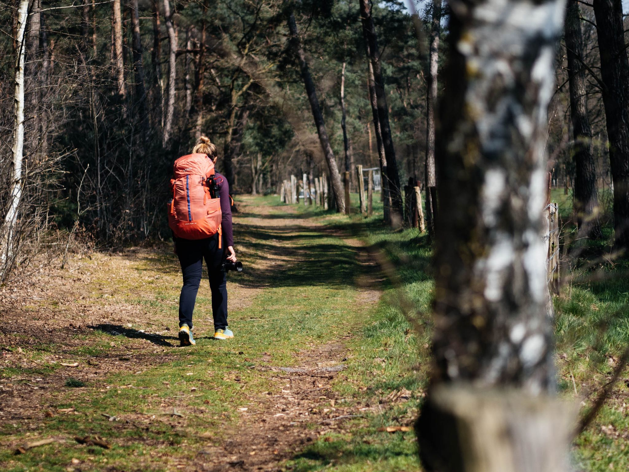
Hiking in Flanders – National Park Trail through Hoge Kempen
Camping Trail: 111 km National Park Trail, van Kampeerplek naar Kampeerplek
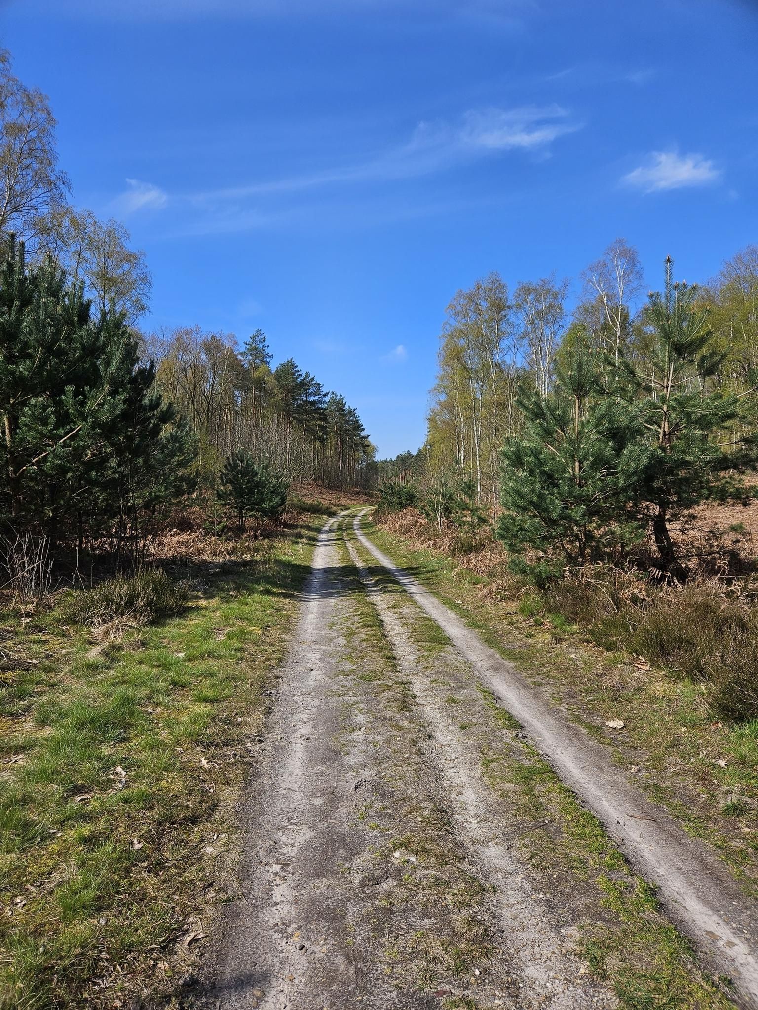
National Park Trail - 호게 켐펜 국립공원을 통해 110 킬로미터
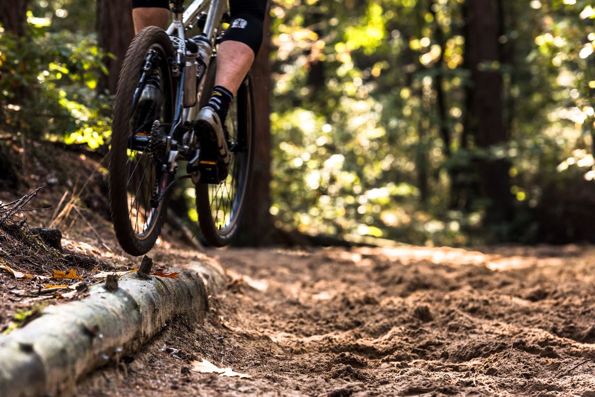
자연과 하나 - 하이 켐펜 마운틴바이크 네트워크
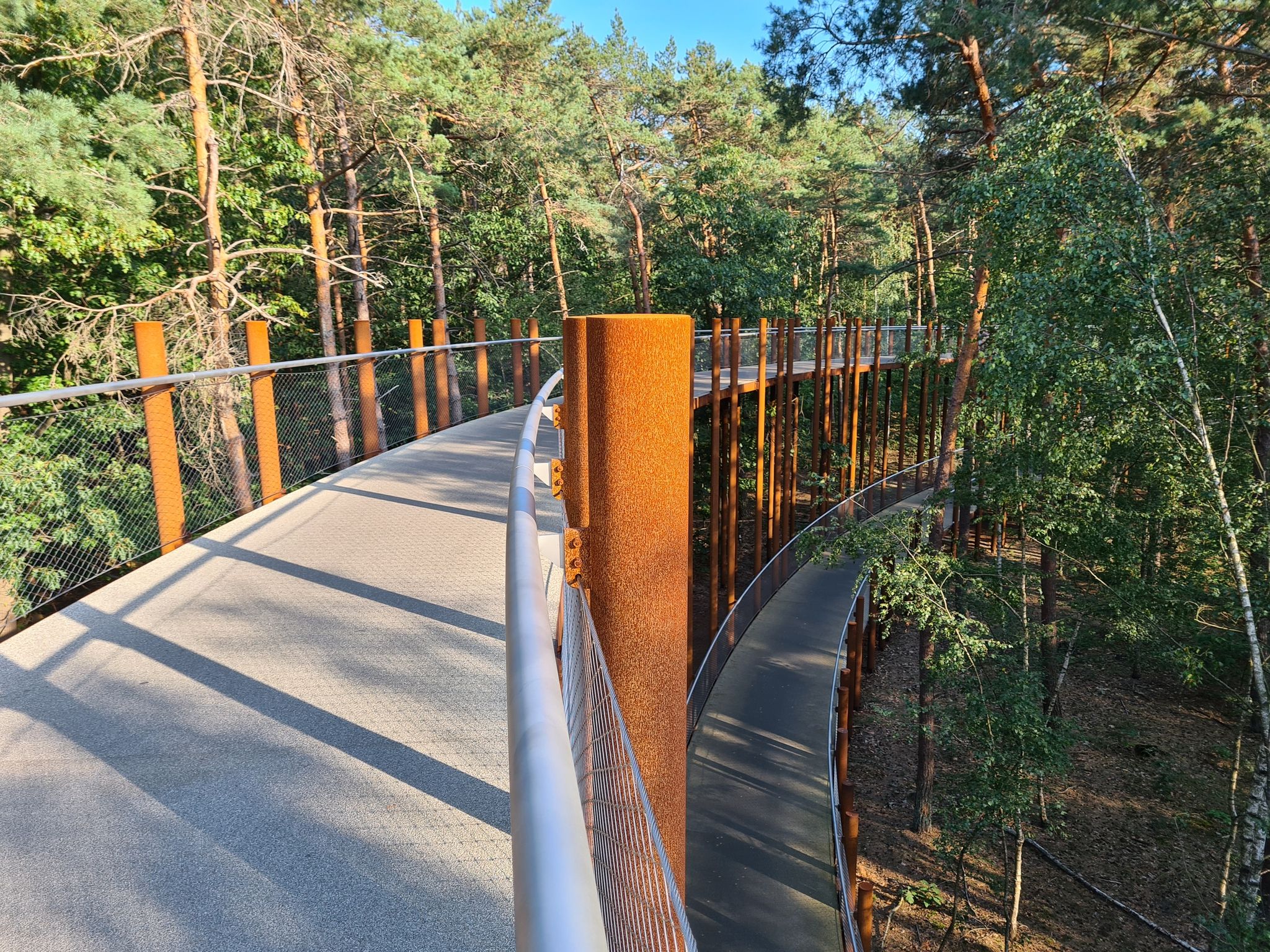
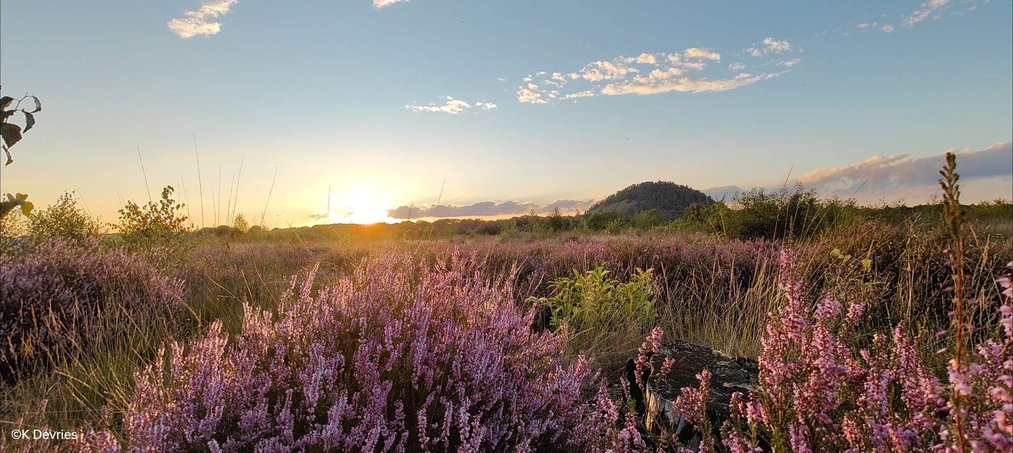
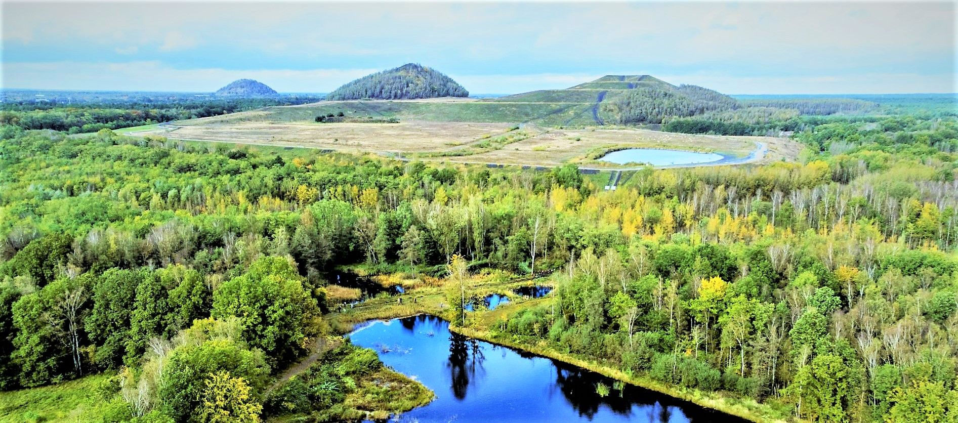
하이킹은 Hoge Kempen 국립공원을 가로질러 당신을 데려갈 것입니다. 이 공원에서는 광활한 소나무 숲과 끝없는 황무지가 번갈아 나타납니다. 자전거 노드 550과 551 사이의 새로운 연결 덕분에 자연은 당신에게 접시 위에 제공됩니다. 당신은 700헥타르로 플랑드르에서 가장 큰 황무지 지역 중 하나인 메헬렌 황무지를 자전거로 타게 될 것입니다. 이 경로의 하이라이트는 의심할 여지 없이 거의 300미터 길이의 나무 다리로, 풍경에서 알아볼 수 있는 요소입니다. 다리에서는 자연 환경의 탁 트인 전망을 즐길 수 있습니다.
0
0
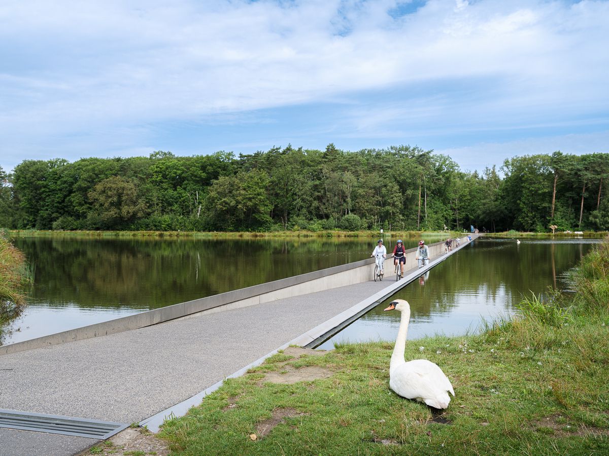
물 위를 지나는 자전거 도로는 212미터 길이와 3미터 폭의 콘크리트 길을 따라 자전거 이용자들을 안내하며, 양쪽에는 눈높이의 물이 흐릅니다. 백조와 다른 물새들이 강둑을 따라 헤엄치며 자전거 이용자들을 호기심 어린 눈으로 바라봅니다. 개장 이후 이 독특한 자전거 도로에 대한 관심은 엄청났습니다. 평균적으로 하루 800명의 방문객이 림뷔르흐 자전거 네트워크의 잊을 수 없는 이 구간을 탐험하며, 토요일과 일요일에 절정을 이루고 어떤 날에는 5,000명까지 자전거 이용객이 방문합니다.
1
1
The Kikbeek Source Valley is a unique nature reserve of approximately 120 hectares in the municipality of Maasmechelen. It is part of the Hoge Kempen National Park and situated in and around the former sand and gravel quarry from which the meandering Kikbeek stream originates. This landscape is characterized by alternating open heathlands, forests and marshlands, small ponds, and the source itself, which together form a rich ecological fabric where walking routes lead visitors past water, heathland, reed beds, and forests in an atmosphere of tranquility and natural diversity. The valley is situated on both sides of paths normally included in the network of walks, such as the green and blue loops of the Mechelse Heide, which start from the parking lot at Camping Kikmolen, for example, and loop through the area with views of ponds, heathland, and woodlands. This valley is ecologically valuable, and the combination of a former quarry, seepage zones, and wetlands creates habitats for numerous insects, birds, and plants typical of wet and semi-open nature. The area provides a window into the ancient geology and landscape history of this region, where nature has gradually recovered since the time of human use. However, the situation around the valley and its hiking trails has been in flux for years and is not always accessible as it once was. Due to a landslide in the Kikbeekbron valley, the area is officially closed to recreation, and the blue and green hiking trails that run through it have remained inaccessible to visitors for some time. Research by the Agency for Nature and Forests, in collaboration with geotechnical experts, has revealed that there are risks of further landslides and slope instability, making the valley unsafe to access for the time being, and recreational use has been temporarily suspended. Clear signs on site inform visitors that access is prohibited and that alternative routes outside the valley must be followed. This situation serves as a precautionary measure as long as the stability of the former quarry and surrounding areas is maintained. At the same time, larger nature restoration and water management projects are planned or underway in this area. The Agency for Nature and Forests is carrying out the Blue Deal project at the Kikbeek spring, one of the largest of its kind in Flanders. The goal is to restore the ecosystem of the original valley, strengthen wetlands, and retain more water in the area. This extensive intervention is linked to sustainable water management, biodiversity, and the long-term health of the area. Parts of the valley are temporarily closed to enable methodical implementation. Due to these circumstances, the hiking trails through the former quarry and along the Kikbeek spring are currently not open as you know them from previous hiking maps, and the green and blue loops, which were equally enjoyable for a walk around the pond and through the heathland, are not accessible to recreational users. Yet, for many nature lovers, including myself, the allure of this area is hard to resist. Despite the official closures and clearly indicated restrictions, I have walked past the signs and barriers precisely because the paths are still partially visible and because the sensory experience of the landscape remains very inviting. The story of my walk through the valley, even though it was technically prohibited by the managers, reveals the appeal of this landscape. The tranquil water features, the transition from open heathland to woodland, and the atmosphere of a hidden stream valley invite exploration even when restricted zones indicate it's not officially permitted. This personal touch contrasts the formal, protective management of vulnerable natural areas with the human tendency to seek out the peace and beauty of such places, even if that means straying slightly off the beaten track.
0
0
The wedding hall, located in the rectory, can accommodate 30 guests (including children) and the couple themselves. You can also take beautiful wedding photos in the beautiful garden, under the magnificent entrance gate, and by the authentic building.
2
0
The Teut gives you colorful fun...
5
0
다른 지역의 최고의 자전거 경로를 살펴보세요.